Cockedhat Wood

Wood, Forest in Suffolk East Suffolk

England

Cockedhat Wood

Car park, Henstead Art and Craft workshops
Car park, Henstead Art and Craft workshops Credit: nick macneill

Cockedhat Wood is a majestic forest located in Suffolk, England. With an area spanning approximately 100 acres, this woodland is a haven for nature enthusiasts and those seeking tranquility amidst the bustling city life. The wood is situated near the village of Cockfield, making it easily accessible to visitors from the nearby towns and villages.

The woodland consists mainly of native deciduous trees, such as oak, ash, and beech, which create a diverse and vibrant ecosystem. The tall and majestic trees provide shelter and nesting spots for a variety of bird species, including woodpeckers, nightingales, and owls. The forest floor is adorned with a carpet of wildflowers during the spring and summer months, attracting butterflies and bees.

Several well-maintained walking trails wind through the woods, allowing visitors to explore the beauty of Cockedhat Wood at their own pace. The paths are suitable for all ages and fitness levels, making it an ideal destination for families and individuals alike. Along the way, visitors may stumble upon hidden clearings or stumble across a babbling brook, adding to the enchanting atmosphere of the woodland.

Cockedhat Wood is also renowned for its wildlife diversity. Squirrels can be spotted darting through the treetops, while rabbits and deer may occasionally grace visitors with their presence. The wood is also home to a variety of insect species, including dragonflies and beetles.

Overall, Cockedhat Wood offers a serene and picturesque escape from the demands of everyday life, allowing visitors to reconnect with nature and experience the beauty of Suffolk's countryside.

If you have any feedback on the listing, please let us know in the comments section below.

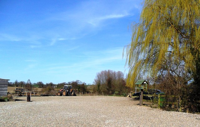
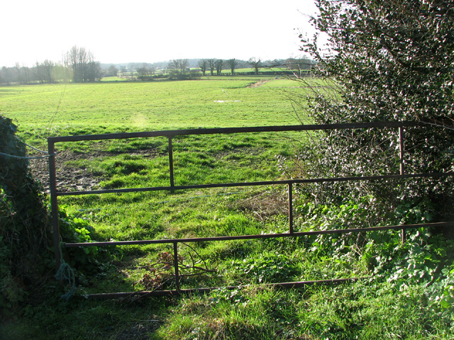
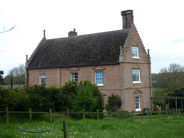
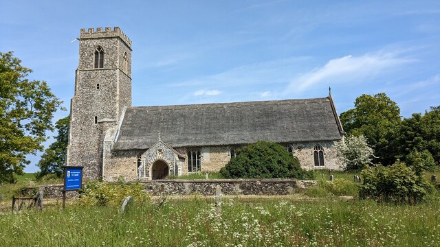
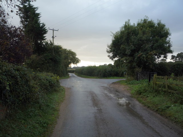
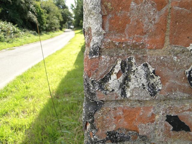
Cockedhat Wood Images

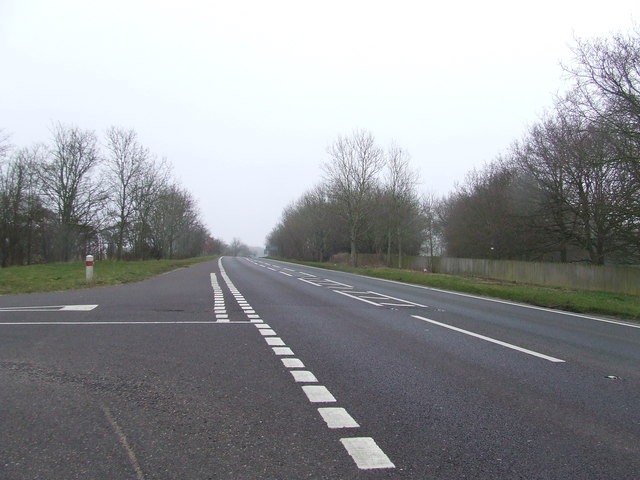
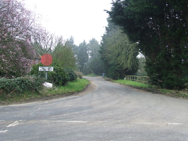
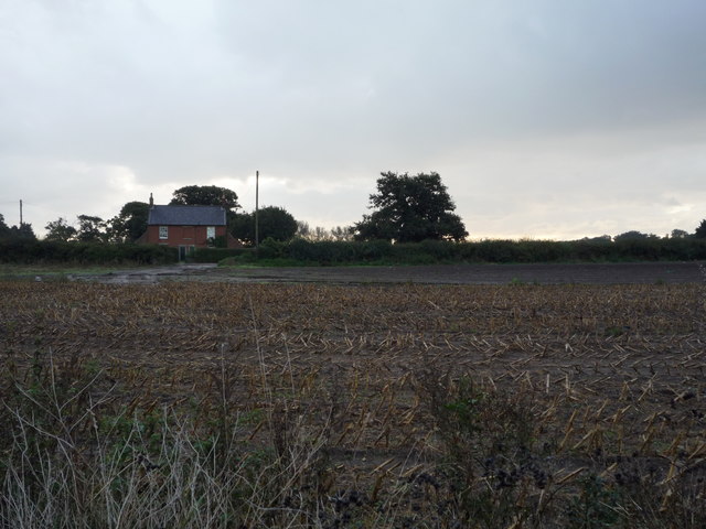
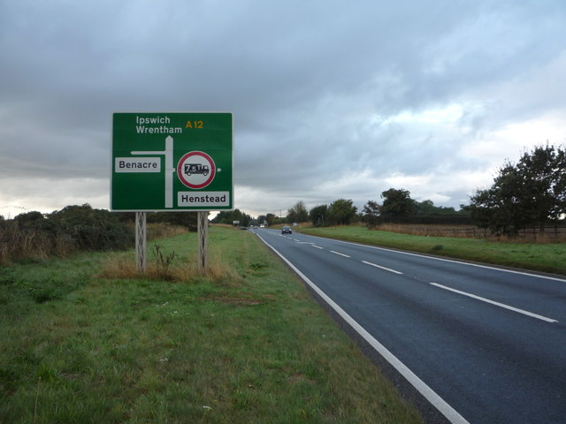
Images are sourced within 2km of 52.412963/1.6556685 or Grid Reference TM4885. Thanks to Geograph Open Source API. All images are credited.

Car park, Henstead Art and Craft workshops
Marsh pastures by Latymere Dam
Rushmere Hall <span class="nowrap"><a title="https://historicengland.org.uk/listing/the-list/list-entry/1284310?section=official-list-entry" rel="nofollow ugc noopener" href="https://historicengland.org.uk/listing/the-list/list-entry/1284310?section=official-list-entry">Link</a><img style="margin-left:2px;" alt="External link" title="External link - shift click to open in new window" src="https://s1.geograph.org.uk/img/external.png" width="10" height="10"/></span>
Rushmere Hall
Church of St. Mary, Henstead <span class="nowrap"><a title="https://historicengland.org.uk/listing/the-list/list-entry/1182832?section=official-list-entry" rel="nofollow ugc noopener" href="https://historicengland.org.uk/listing/the-list/list-entry/1182832?section=official-list-entry">Link</a><img style="margin-left:2px;" alt="External link" title="External link - shift click to open in new window" src="https://s1.geograph.org.uk/img/external.png" width="10" height="10"/></span>
Church of St. Mary, Henstead
Road junction off the A12 Looking north along the A12 near to Benacre, Suffolk.
Road junction off the A12
Looking north along the A12 near to Benacre, Suffolk.
Former A.12 Former part of the A.12 now bypassed near to Benacre, Suffolk.
Former A.12
Former part of the A.12 now bypassed near to Benacre, Suffolk.
Stubble field off the A12
A12 towards Wrentham Heading south west.
A12 towards Wrentham
Heading south west.
Minor road junction near Walnut Tree Farm
A12 towards Lowestoft The A12 is a very busy road linking London to East Anglia. Starting just north of the Blackwall Tunnel where it connects end on to the A102, it heads north through Bow and Hackney Wick, then northeast through Leyton and Romford, then into Essex, passing Brentwood and Colchester. In Suffolk, it passes Ipswich and Saxmundham, then follows the coast through Lowestoft before entering Norfolk, passing through Gorleston and ending at Great Yarmouth. A significant part of the road from Brentwood to Ipswich, and from Lowestoft to Great Yarmouth is a trunk road.
A12 towards Lowestoft
The A12 is a very busy road linking London to East Anglia. Starting just north of the Blackwall Tunnel where it connects end on to the A102, it heads north through Bow and Hackney Wick, then northeast through Leyton and Romford, then into Essex, passing Brentwood and Colchester. In Suffolk, it passes Ipswich and Saxmundham, then follows the coast through Lowestoft before entering Norfolk, passing through Gorleston and ending at Great Yarmouth. A significant part of the road from Brentwood to Ipswich, and from Lowestoft to Great Yarmouth is a trunk road.
Staggered road junction on the A12
Baldry's Farm Outbuildings
Unusually quiet A12 Junction to Toad Row (right) and Benacre (left).
Unusually quiet A12
Junction to Toad Row (right) and Benacre (left).
Henstead Art & Craft Workshops, Toad Row
Benchmark on Baldry's barn An eroded benchmark on the north-west facing corner of the barn at Baldry's Farm which stands against the road, seen here leading to the A12. Situated roughly 90cm above ground level, at TM 50497 85952. For more information on this and other bench marks visit the bench mark database > <span class="nowrap"><a title="http://www.bench-marks.org.uk/bm35234" rel="nofollow ugc noopener" href="http://www.bench-marks.org.uk/bm35234">Link</a><img style="margin-left:2px;" alt="External link" title="External link - shift click to open in new window" src="https://s1.geograph.org.uk/img/external.png" width="10" height="10"/></span>
Benchmark on Baldry's barn
An eroded benchmark on the north-west facing corner of the barn at Baldry's Farm which stands against the road, seen here leading to the A12. Situated roughly 90cm above ground level, at TM 50497 85952. For more information on this and other bench marks visit the bench mark database > LinkExternal link
Field east of the A12 road, Benacre
Transformer in field by Walnut Tree Farm, Benacre
Unmade road to a gatehouse on the Benacre Estate
Show me another place!

Cockedhat Wood is located at Grid Ref: TM4885 (Lat: 52.412963, Lng: 1.6556685)

Administrative County: Suffolk

District: East Suffolk

Police Authority: Suffolk

What 3 Words

///acrobats.fairness.absent. Near Kessingland, Suffolk

Related Wikis

Henstead with Hulver Street

Henstead with Hulver Street is a civil parish in the East Suffolk district of the English county of Suffolk. It is around 5 miles (8.0 km) south-west of...

Henstead

Henstead is a village near Kessingland and the A12 in the civil parish of Henstead with Hulver Street, in the county of Suffolk, England. It has a church...

Rushmere, north Suffolk

Rushmere is a village and civil parish in the East Suffolk district of the English county of Suffolk. The village is around 5 miles (8.0 km) south-west...

Wrentham Hall

Wrentham Hall was a large now-demolished Manor House to the north-west of the village of Wrentham, Suffolk, England and which stood on what is now Blackmoor...

Nearby Amenities

Located within 500m of 52.412963,1.6556685
Bus Stop
Crossroads
Bus: yes
Naptan AtcoCode: 390070179
Naptan Bearing: N
Naptan BusStopType: CUS
Naptan CommonName: Crossroads
Naptan Indicator: N-bound
Naptan Landmark: Crossroads
Naptan NaptanCode: sufgwjgp
Naptan Street: B1127
Naptan Verified: no
Public Transport: platform
Source: naptan_import
Lat/Long: 52.4156438/1.6592009
Bus Stop
Crossroads
Bus: yes
Naptan AtcoCode: 390070180
Naptan Bearing: E
Naptan BusStopType: CUS
Naptan CommonName: Crossroads
Naptan Indicator: E-bound
Naptan Landmark: Crossroads
Naptan NaptanCode: sufgwjgt
Naptan Street: B1127
Naptan Verified: no
Public Transport: platform
Source: naptan_import
Lat/Long: 52.4158335/1.6591725
Bus Stop
Crossroads
Bus: yes
Naptan AtcoCode: 390070897
Naptan Bearing: W
Naptan BusStopType: CUS
Naptan CommonName: Crossroads
Naptan Indicator: W-bound
Naptan Landmark: Crossroads
Naptan NaptanCode: sufjmjwt
Naptan Street: Church Road
Naptan Verified: no
Public Transport: platform
Source: naptan_import
Lat/Long: 52.4156583/1.6598936
Bus Stop
Crossroads
Bus: yes
Naptan AtcoCode: 390070898
Naptan Bearing: S
Naptan BusStopType: CUS
Naptan CommonName: Crossroads
Naptan Indicator: S-bound
Naptan Landmark: Crossroads
Naptan NaptanCode: sufjmpad
Naptan Street: Rushmere Road
Naptan Verified: no
Public Transport: platform
Source: naptan_import
Lat/Long: 52.4158235/1.6594954
The data included in this document is from www.openstreetmap.org. The data is made available under ODbL.

Have you been to Cockedhat Wood?

Leave your review of Cockedhat Wood below (or comments, questions and feedback).