Brier Wood
Wood, Forest in Suffolk East Suffolk
England
Brier Wood
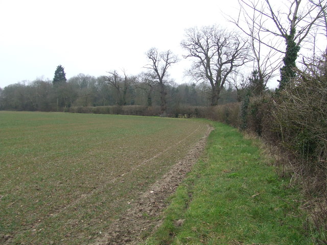
Brier Wood is a picturesque woodland located in Suffolk, England. Nestled within the heart of the county, it is a popular destination for nature enthusiasts and those seeking tranquility amidst the bustling modern world. Spread across several acres, this forested area boasts a diverse range of flora and fauna, offering visitors a chance to immerse themselves in the beauty of the natural world.
The woodland is predominantly made up of broadleaf trees, such as oak, beech, and ash, which create a dense canopy and provide shelter for a variety of wildlife. Walking through Brier Wood, one can encounter an array of bird species, including woodpeckers, thrushes, and owls, as well as small mammals like squirrels, badgers, and deer.
There are several marked trails that meander through the woodland, allowing visitors to explore the area at their own pace. These trails lead to hidden gems, such as a picturesque pond and a small clearing with a picnic area, offering the perfect opportunity to relax and enjoy the peaceful surroundings.
Brier Wood is not only a haven for wildlife but also serves as an important conservation area. It is managed by a local forestry commission, which ensures the preservation and sustainable management of the woodland. This includes regular tree planting initiatives and maintenance of footpaths to ensure the safety and enjoyment of visitors.
Overall, Brier Wood is a beloved natural retreat, offering a tranquil escape from the pressures of daily life. With its diverse wildlife, lush vegetation, and well-maintained trails, it is an idyllic destination for nature lovers and hikers alike.
If you have any feedback on the listing, please let us know in the comments section below.
Brier Wood Images
Images are sourced within 2km of 52.416329/1.6460176 or Grid Reference TM4886. Thanks to Geograph Open Source API. All images are credited.


Brier Wood is located at Grid Ref: TM4886 (Lat: 52.416329, Lng: 1.6460176)
Administrative County: Suffolk
District: East Suffolk
Police Authority: Suffolk
What 3 Words
///pies.stadium.clustered. Near Kessingland, Suffolk
Nearby Locations
Related Wikis

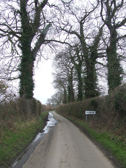
Henstead with Hulver Street
Henstead with Hulver Street is a civil parish in the East Suffolk district of the English county of Suffolk. It is around 5 miles (8.0 km) south-west of...
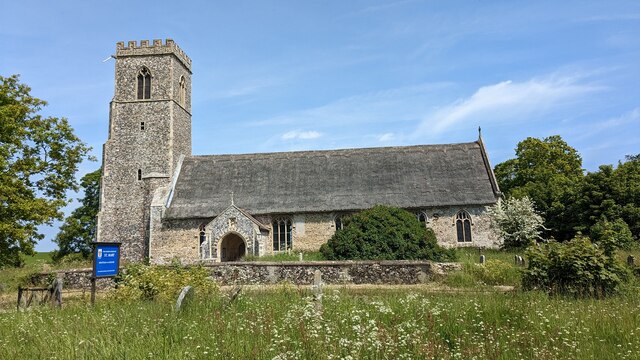
Henstead
Henstead is a village near Kessingland and the A12 in the civil parish of Henstead with Hulver Street, in the county of Suffolk, England. It has a church...
Sotterley Park
Sotterley Park is a 123.2-hectare (304-acre) biological Site of Special Scientific Interest in Sotterley in Suffolk. It is a Nature Conservation Review...

Rushmere, north Suffolk
Rushmere is a village and civil parish in the East Suffolk district of the English county of Suffolk. The village is around 5 miles (8.0 km) south-west...

Mutford
Mutford is a village and civil parish in the East Suffolk District of the English county of Suffolk. The village is 5 miles (8.0 km) south-west of Lowestoft...

Wrentham Hall
Wrentham Hall was a large now-demolished Manor House to the north-west of the village of Wrentham, Suffolk, England and which stood on what is now Blackmoor...
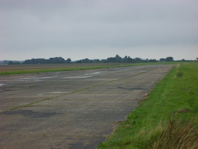
Beccles Airfield
Beccles Airfield, also known as Beccles Airport or Beccles Aerodrome (ICAO: EGSM), is located in Ellough, 2 NM (3.7 km; 2.3 mi) southeast of Beccles in...

Sotterley
Sotterley, originally Southern-lea from its situation south of the river, is a village and civil parish in the East Suffolk district, in the English county...
Nearby Amenities
Located within 500m of 52.416329,1.6460176Have you been to Brier Wood?
Leave your review of Brier Wood below (or comments, questions and feedback).