Ball's Green

Wood, Forest in Suffolk East Suffolk

England

Ball's Green

Acheulean-mousterian cordate hand-axe The axe which measures 78mm x 65mm was found near this spot in 1980 and was identified by Norwich museum as being about 160,000 years old. The general location can be seen here <a title="https://www.geograph.org.uk/photo/6946241" href="https://www.geograph.org.uk/photo/6946241">Link</a>
Acheulean-mousterian cordate hand-axe Credit: Adrian S Pye

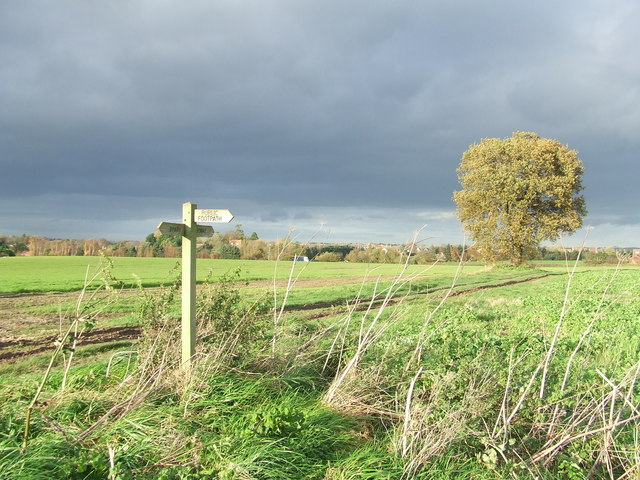
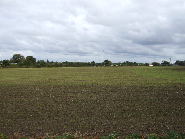
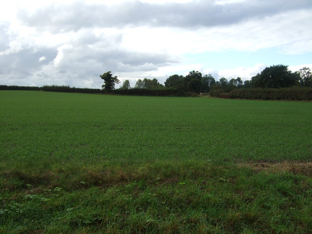
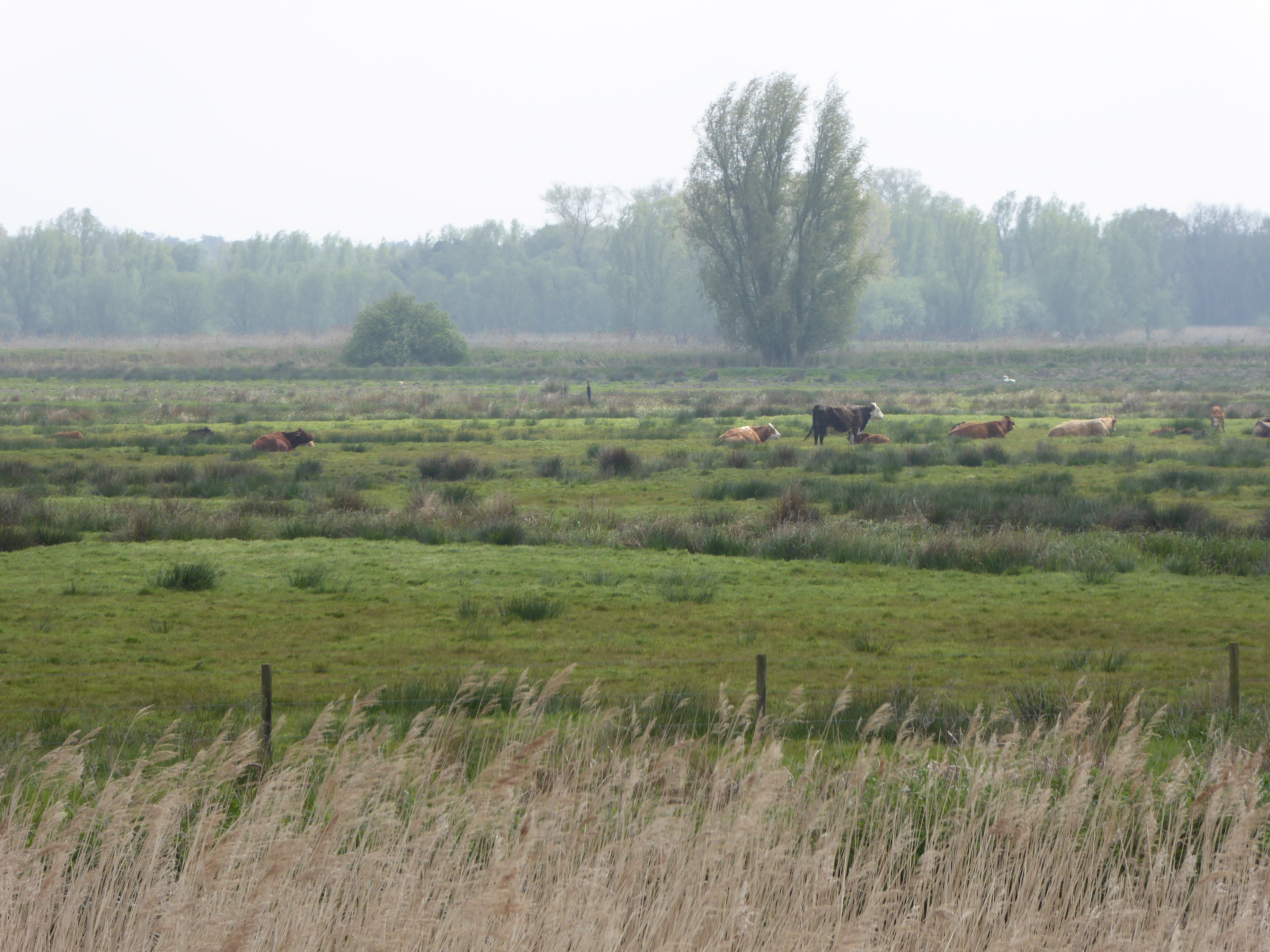
Ball's Green is a small village located in the county of Suffolk, in the eastern part of England. Situated amidst lush woodlands, Ball's Green is renowned for its picturesque beauty and serene surroundings. The village is nestled within the heart of the Suffolk countryside, surrounded by dense forests, making it an ideal destination for nature lovers and outdoor enthusiasts.

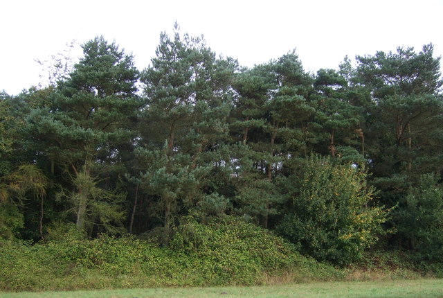
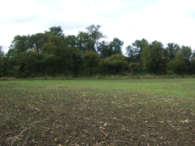
The woodlands in Ball's Green are characterized by a diverse range of tree species, including oak, beech, and birch. These trees provide a habitat for various wildlife, such as deer, rabbits, and a wide variety of bird species. The forested area also offers numerous walking trails and paths, allowing visitors to explore the natural beauty of the region.

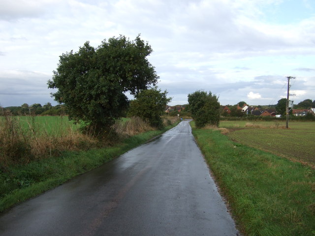
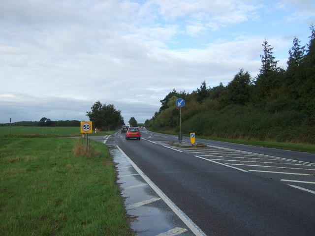
Despite its rural location, Ball's Green is well-connected to the surrounding areas. The village is in close proximity to the town of Bury St. Edmunds, which provides residents with access to essential amenities and services. Additionally, the city of Cambridge is just a short drive away, offering further cultural and recreational opportunities.

The village of Ball's Green itself is a close-knit community, with a small population of friendly and welcoming residents. The village has a quaint charm, with traditional cottages and farmland adding to its idyllic atmosphere. While there are no major tourist attractions in Ball's Green, the village's natural beauty and peaceful ambiance make it an appealing destination for those seeking a tranquil retreat in the Suffolk countryside.

If you have any feedback on the listing, please let us know in the comments section below.
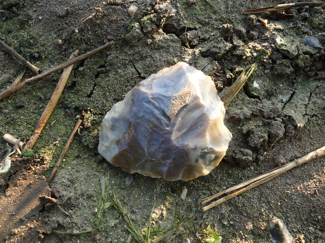
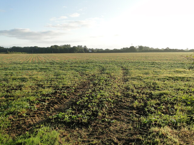
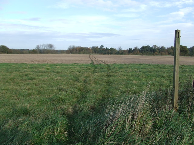
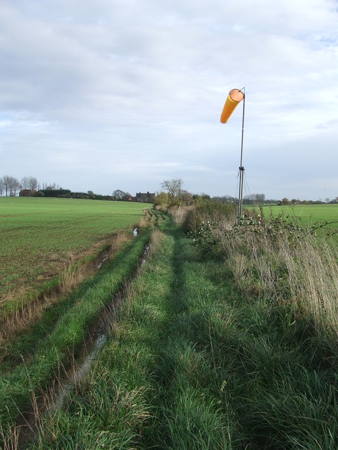
Ball's Green Images

Images are sourced within 2km of 52.455253/1.6312729 or Grid Reference TM4690. Thanks to Geograph Open Source API. All images are credited.

Acheulean-mousterian cordate hand-axe The axe which measures 78mm x 65mm was found near this spot in 1980 and was identified by Norwich museum as being about 160,000 years old. The general location can be seen here <a title="https://www.geograph.org.uk/photo/6946241" href="https://www.geograph.org.uk/photo/6946241">Link</a>
Acheulean-mousterian cordate hand-axe
The axe which measures 78mm x 65mm was found near this spot in 1980 and was identified by Norwich museum as being about 160,000 years old. The general location can be seen here Link
Field at North Cove A flint hand axe was found in this field in 1980 <a href="https://www.geograph.org.uk/photo/6946234">TM4689 : Acheulean-mousterian cordate hand-axe</a>
Field at North Cove
A flint hand axe was found in this field in 1980 TM4689 : Acheulean-mousterian cordate hand-axe
St John the Baptist Cemetery
Pond & Pond Farm View of pond adjacent to Pond Farm (right) looking down Mutford Wood (lane) towards St John the Baptist at Barnby.
Pond & Pond Farm
View of pond adjacent to Pond Farm (right) looking down Mutford Wood (lane) towards St John the Baptist at Barnby.
Footpath Footpath across a field near to North Cove, Suffolk.
Footpath
Footpath across a field near to North Cove, Suffolk.
Path And Wind Sock Footpath and wind sock near to North Cove, Suffolk.
Path And Wind Sock
Footpath and wind sock near to North Cove, Suffolk.
Green Track Dark Skies Green footpath and dark Skies near to Barnby, Suffolk.
Green Track Dark Skies
Green footpath and dark Skies near to Barnby, Suffolk.
Footpath Junction Footpath junction near to Barnby, Suffolk.
Footpath Junction
Footpath junction near to Barnby, Suffolk.
Footpath And Sign Footpath leading to the church of St.John The Evangelist near to Barnby, Suffolk.
Footpath And Sign
Footpath leading to the church of St.John The Evangelist near to Barnby, Suffolk.
St.John the Baptist Barnby The village church of St.John the Baptist Barnby, Suffolk; for info on the church see <span class="nowrap"><a title="http://www.suffolkchurches.co.uk/barnby.htm" rel="nofollow ugc noopener" href="http://www.suffolkchurches.co.uk/barnby.htm">Link</a><img style="margin-left:2px;" alt="External link" title="External link - shift click to open in new window" src="https://s1.geograph.org.uk/img/external.png" width="10" height="10"/></span>
St.John the Baptist Barnby
The village church of St.John the Baptist Barnby, Suffolk; for info on the church see LinkExternal link
Farm building, Pond Farm
Young crop field near Barnby Off New Road.
Young crop field near Barnby
Off New Road.
New Road Heading north west into Barnby on National Cycle Route 1.
New Road
Heading north west into Barnby on National Cycle Route 1.
Barnby Nursery Centre
Farmland, North Cove South of the A146.
Farmland, North Cove
South of the A146.
Woodland beside the A146
A146 westbound, North Cove At the junction with Brock Road.
A146 westbound, North Cove
At the junction with Brock Road.
Crop field and woodland near Gent's Farm Off Brock Road.
Crop field and woodland near Gent's Farm
Off Brock Road.
Show me another place!

Ball's Green is located at Grid Ref: TM4690 (Lat: 52.455253, Lng: 1.6312729)

Administrative County: Suffolk

District: East Suffolk

Police Authority: Suffolk

What 3 Words

///chase.options.scrubbing. Near Beccles, Suffolk

Related Wikis

North Cove Nature Reserve

North Cove is a 15.5-hectare (38-acre) nature reserve between Beccles and Lowestoft in Suffolk. It is managed by the owner and Beccles Bird Society, is...

Castle Marshes

Castle Marshes is a 71 hectare nature reserve west of Lowestoft in Suffolk. It is managed by the Suffolk Wildlife Trust. It is part of the Barnby Broad...

North Cove

North Cove is a village and civil parish in the north of the English county of Suffolk. It is part of the East Suffolk district, located around 3 miles...

Barnby, Suffolk

Barnby is a village and civil parish in the East Suffolk district of the English county of Suffolk. The village is 5 miles (8.0 km) west of Lowestoft and...

Barnby Broad and Marshes

Barnby Broad and Marshes is a Site of Special Scientific Interest (SSSI) in the Waveney district of the English county of Suffolk. The site is 189.6 hectares...
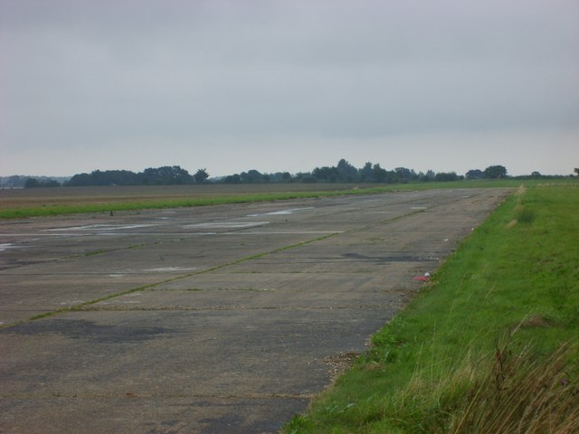
Beccles Airfield

Beccles Airfield, also known as Beccles Airport or Beccles Aerodrome (ICAO: EGSM), is located in Ellough, 2 NM (3.7 km; 2.3 mi) southeast of Beccles in...

Worlingham

Worlingham is a village and civil parish in the East Suffolk district of the English county of Suffolk. It is about 1.3 miles (2.1 km) east of Beccles...

Worlingham Hall

Worlingham Hall is a Grade I listed Georgian country house in Worlingham, 1 mile (1.6 km) to the east of Beccles in the English county of Suffolk. The...

Nearby Amenities

Located within 500m of 52.455253,1.6312729
Railway: level_crossing
Lat/Long: 52.45603/1.6357242
Crossing Activation: user
Crossing Light: no
Railway: level_crossing
Lat/Long: 52.4574278/1.6264207
Barrier: entrance
Foot: yes
Lat/Long: 52.4561966/1.6356796
Railway: level_crossing
Lat/Long: 52.4555996/1.6386325
Phone
Emergency: phone
Lat/Long: 52.4573607/1.626351
Phone
Emergency: phone
Lat/Long: 52.4574612/1.6264812
Communication Mobile Phone: yes
Man Made: mast
Material: metal
Operator: O2-UK;Vodafone UK
Tower Construction: lattice
Tower Type: communication
Lat/Long: 52.4535646/1.6329128
The data included in this document is from www.openstreetmap.org. The data is made available under ODbL.

Have you been to Ball's Green?

Leave your review of Ball's Green below (or comments, questions and feedback).