Square Plantation

Wood, Forest in Suffolk East Suffolk

England

Square Plantation

Windmill, Thorpeness, Suffolk
Windmill, Thorpeness, Suffolk Credit: Charles Skeavington

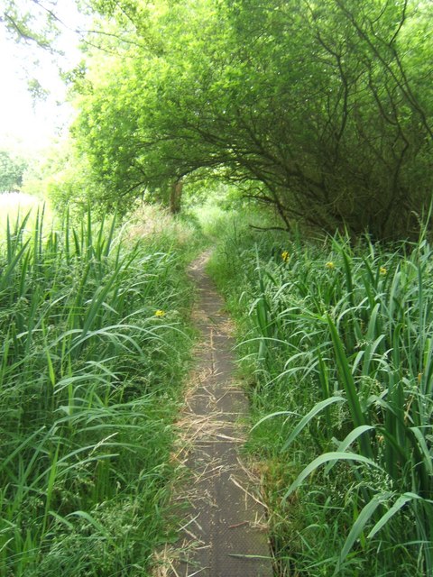
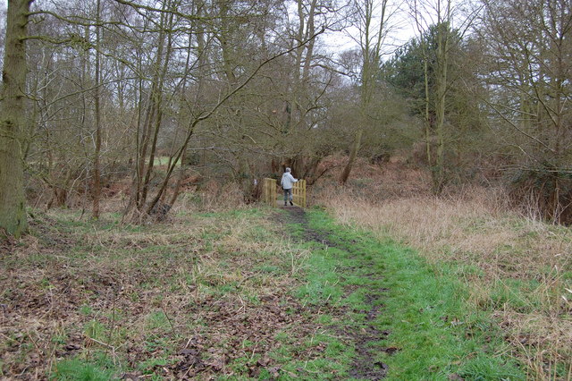
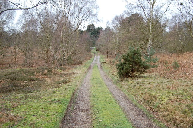
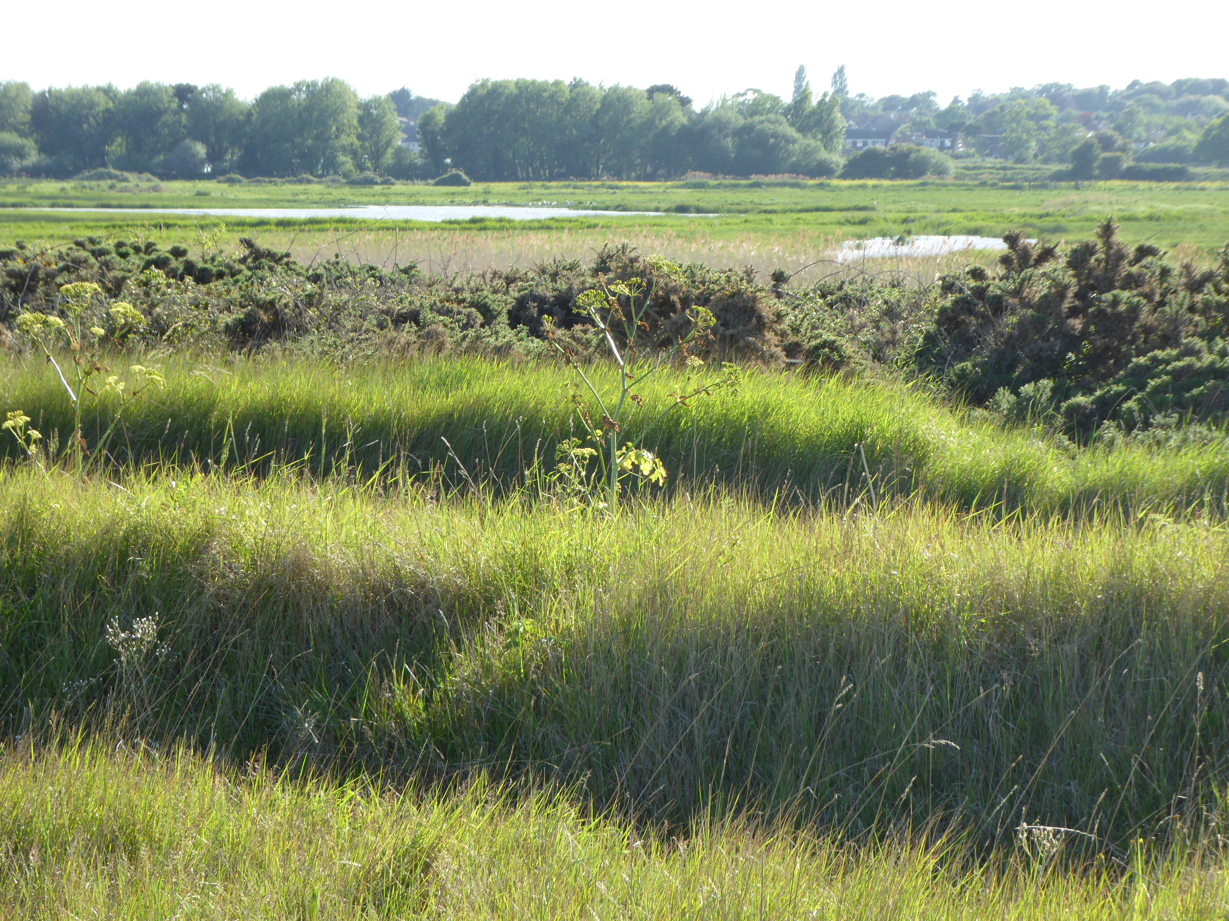
Square Plantation is a picturesque woodland located in Suffolk, England. Covering an area of approximately 100 acres, this plantation is known for its dense and well-preserved forest, offering visitors a tranquil and scenic escape from the hustle and bustle of urban life.

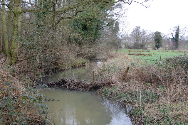
The woodland is primarily composed of a variety of tree species, including oak, beech, and birch, which create a rich and diverse ecosystem. The trees form a dense canopy, providing shade and creating a cool and serene atmosphere. Walking through the plantation, visitors can enjoy the peaceful ambiance and observe the vibrant wildlife that inhabits the area.

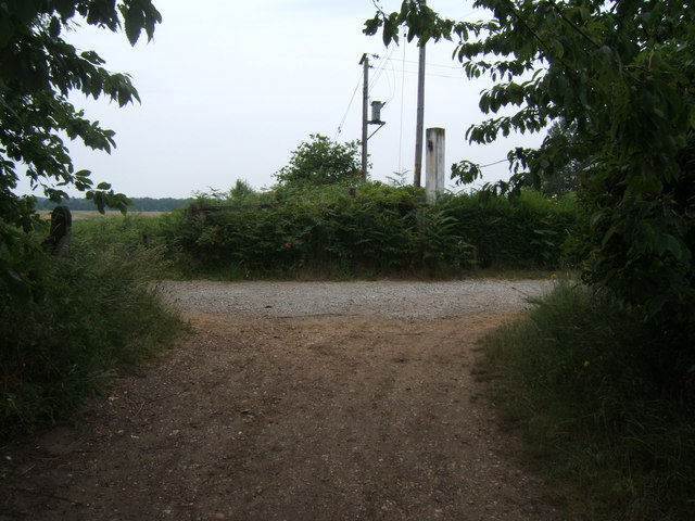
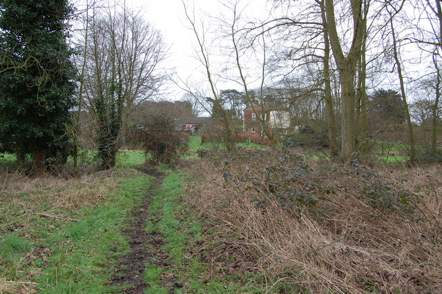
Square Plantation is a popular destination for nature enthusiasts and outdoor enthusiasts alike. The plantation offers a network of well-maintained trails, allowing visitors to explore the woodland at their own pace. These trails wind through the forest, leading visitors to hidden clearings and breathtaking viewpoints.

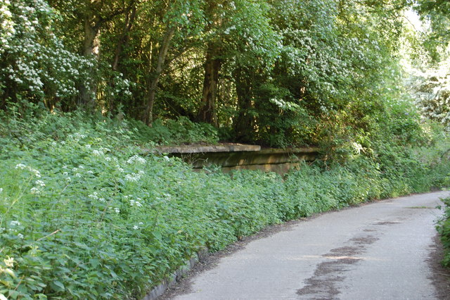
In addition to its natural beauty, Square Plantation also has historical significance. The woodland has been carefully managed for centuries, with evidence of human activity dating back to medieval times. It is believed that the plantation was once a hunting ground for nobility and has since been protected and preserved for its ecological and cultural value.

Overall, Square Plantation in Suffolk is a haven for nature lovers, providing a serene and captivating setting for outdoor exploration. Whether it's a leisurely walk, birdwatching, or simply enjoying the tranquility of the woodland, visitors are sure to find solace and natural beauty in this enchanting forest.

If you have any feedback on the listing, please let us know in the comments section below.

Square Plantation Images

Images are sourced within 2km of 52.188445/1.5885572 or Grid Reference TM4560. Thanks to Geograph Open Source API. All images are credited.

Windmill, Thorpeness, Suffolk
The House in the Clouds, near Thorpeness The House in the Clouds was built in 1923 as the Thorpeness water tower, disguised as a house to avoid it being an eyesore.  Originally it was a five storey house underneath the water tank, which itself was hidden by enclosing it in a house-like structure complete with pitched roof. Later, when Thorpeness was linked to a mains water supply, the tank inside was dismantled and the space turned into additional living accommodation making the house you see today.
The House in the Clouds, near Thorpeness
The House in the Clouds was built in 1923 as the Thorpeness water tower, disguised as a house to avoid it being an eyesore. Originally it was a five storey house underneath the water tank, which itself was hidden by enclosing it in a house-like structure complete with pitched roof. Later, when Thorpeness was linked to a mains water supply, the tank inside was dismantled and the space turned into additional living accommodation making the house you see today.
Moth Sculpture One of a series of sculptures along the Sandlings Walk.
Moth Sculpture
One of a series of sculptures along the Sandlings Walk.
The Meare, Thorpeness, Suffolk Looking west with the windmill and the 'house in the clouds' on the skyline.
The Meare, Thorpeness, Suffolk
Looking west with the windmill and the 'house in the clouds' on the skyline.
Sunset At Thorpeness Meare An unusual feature about this mere is that punts, seen in the foreground, are hired out as well as rowing boats.
Sunset At Thorpeness Meare
An unusual feature about this mere is that punts, seen in the foreground, are hired out as well as rowing boats.
Footpath crossing Looking along the line of a footpath crossing the Sandlings Walk, which runs from left to right. See <a href="https://www.geograph.org.uk/photo/66499">TM4559 : Moth Sculpture</a>
Footpath crossing
Looking along the line of a footpath crossing the Sandlings Walk, which runs from left to right. See TM4559 : Moth Sculpture
Track off Sandlings Walk Leading to Chapel Farm
Track off Sandlings Walk
Leading to Chapel Farm
Radio mast by Sandlings Walk
Track leading off Sandlings Walk by Round Covert Sandlings Walk runs left to right across the picture.
Track leading off Sandlings Walk by Round Covert
Sandlings Walk runs left to right across the picture.
Footbridge over stream
Footpath The footpath across this marshy area is made of old railway sleepers laid end to end.
Footpath
The footpath across this marshy area is made of old railway sleepers laid end to end.
Footpath junction near Thorpeness The path running left to right follows the course of a dismantled railway. The remains of a level crossing gate are still embedded in the hedge straight ahead.
Footpath junction near Thorpeness
The path running left to right follows the course of a dismantled railway. The remains of a level crossing gate are still embedded in the hedge straight ahead.
North Warren RSPB Conservation area near B1122
Footpath leading to Bird's Farm, Aldringham
Footbridge over Hundred River , Aldringham
Track near Aldringham
Hundred River, Aldringham
The House In The Clouds, Thorpeness "The Fairies really own the house
Or so the children say,
In fact, they all of them moved in
Upon the self-same day."
The House In The Clouds, Thorpeness
"The Fairies really own the house Or so the children say, In fact, they all of them moved in Upon the self-same day."
Show me another place!

Square Plantation is located at Grid Ref: TM4560 (Lat: 52.188445, Lng: 1.5885572)

Administrative County: Suffolk

District: East Suffolk

Police Authority: Suffolk

What 3 Words

///thigh.station.cassettes. Near Leiston, Suffolk

Related Wikis

Thorpeness railway station

Thorpeness railway station served the seaside resort of Thorpeness in Suffolk, England. It was opened in 1914 by the Great Eastern Railway on its 8.5-mile...

Aldringham

Aldringham is a village in the Blything Hundred of Suffolk, England. The village is located 1 mile (1½ km) south of Leiston and 3 miles (4½ km) northwest...

Leiston - Aldeburgh

Leiston - Aldeburgh is a 534.8-hectare (1,322-acre) biological Site of Special Scientific Interest which stretches from Aldeburgh to Leiston in Suffolk...
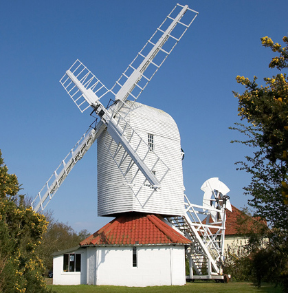
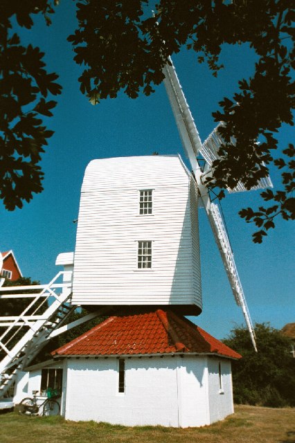
Thorpeness Windmill

Thorpeness Windmill is a Grade II listed post mill at Thorpeness, Suffolk, England which was built in 1803 at Aldringham and moved to Thorpeness in 1923...

Nearby Amenities

Located within 500m of 52.188445,1.5885572
Bus Stop
Church Lane
Naptan AtcoCode: 390060192
Naptan Bearing: E
Naptan CommonName: Church Lane
Naptan Indicator: opp
Naptan Landmark: Church Lane
Naptan NaptanCode: sufgmwmp
Naptan Street: B1353
Naptan Verified: no
Source: naptan_import
Lat/Long: 52.1901737/1.5884926
Bus Stop
Church Lane
Naptan AtcoCode: 390060193
Naptan Bearing: W
Naptan BusStopType: CUS
Naptan CommonName: Church Lane
Naptan Indicator: adj
Naptan Landmark: Church Lane
Naptan NaptanCode: sufgmwmt
Naptan Street: B1353
Naptan Verified: no
Source: naptan_import
Lat/Long: 52.1901433/1.5885039
Post Box
Collection Times: Mo-Fr 10:00; Sa 10:00
Post Box Type: lamp
Ref: IP16 4657
Royal Cypher: GR
Royal Cypher Wikidata: Q33102273
Lat/Long: 52.1867282/1.5872712
The data included in this document is from www.openstreetmap.org. The data is made available under ODbL.

Have you been to Square Plantation?

Leave your review of Square Plantation below (or comments, questions and feedback).