Blyth Wood

Wood, Forest in Norfolk South Norfolk

England

Blyth Wood

White House, Haddiscoe A right charmer. Early C18th. Hipped roof, angle pilasters and a pedimented doorcase. The original-style first-floor cross-windows were renewed in the C20th. Grade II listed.
White House, Haddiscoe Credit: Stephen Richards

Blyth Wood is a picturesque woodland located in Norfolk, England. Situated near the village of Blythburgh, the wood covers an area of approximately 110 acres. It is a popular destination for nature enthusiasts, hikers, and those seeking tranquility amidst the natural beauty of the countryside.

The woodland is predominantly made up of mixed deciduous trees, including oak, birch, beech, and ash. These trees create a dense canopy that allows only dappled sunlight to filter through, creating a magical and peaceful atmosphere. The forest floor is adorned with a rich carpet of ferns, bluebells, and various other wildflowers, adding to its charm and beauty.

Blyth Wood is intersected by a network of footpaths and trails, providing visitors with the opportunity to explore its diverse flora and fauna. The wood is home to a variety of wildlife, including deer, foxes, squirrels, and a myriad of bird species. Birdwatchers will be delighted with the chance to spot woodpeckers, owls, and various songbirds.

For centuries, Blyth Wood has been a cherished natural haven for locals and visitors alike. Its ancient trees and lush vegetation create a sense of timelessness and tranquility. The wood is managed and maintained by local authorities to preserve its natural heritage and ensure its sustainability for future generations to enjoy.

Overall, Blyth Wood offers a serene retreat from the hustle and bustle of everyday life. Its natural beauty, diverse wildlife, and peaceful ambiance make it an idyllic destination for those seeking solace amidst nature's wonders.

If you have any feedback on the listing, please let us know in the comments section below.

Blyth Wood Images

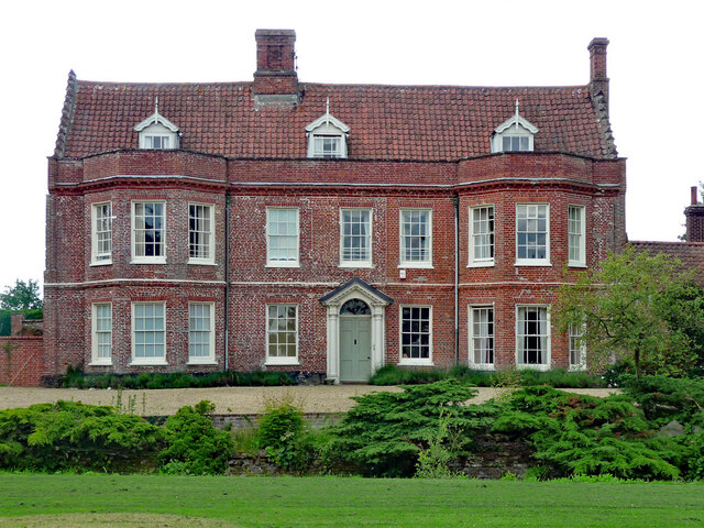
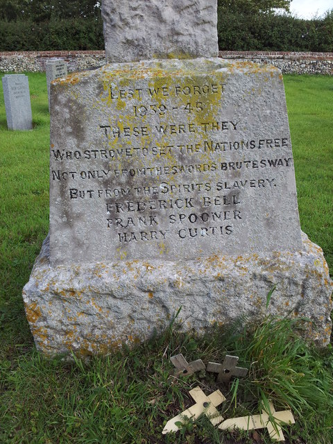
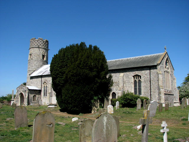
Images are sourced within 2km of 52.497205/1.5983014 or Grid Reference TM4494. Thanks to Geograph Open Source API. All images are credited.

White House, Haddiscoe A right charmer. Early C18th. Hipped roof, angle pilasters and a pedimented doorcase. The original-style first-floor cross-windows were renewed in the C20th. Grade II listed.
White House, Haddiscoe
A right charmer. Early C18th. Hipped roof, angle pilasters and a pedimented doorcase. The original-style first-floor cross-windows were renewed in the C20th. Grade II listed.
The Elms, Toft Monks On the face of it, Georgian, but the asymmetry is a clue to earlier origins. Pevsner notes that the brickwork is consistently early C17th. Grade II* listed.
The Elms, Toft Monks
On the face of it, Georgian, but the asymmetry is a clue to earlier origins. Pevsner notes that the brickwork is consistently early C17th. Grade II* listed.
Former crossing keeper's cottage, Waterheath Road The crossing was once on the Beccles to Great Yarmouth railway line which eventually closed in 1964/5 after the sugarbeet season having been in service 110 years since November 1854.
Having branched off the Beccles-Lowestoft line it crossed the River Waveney at the swing bridge <a title="https://www.geograph.org.uk/photo/2603169" href="https://www.geograph.org.uk/photo/2603169">Link</a> and on to Aldeby Station before continuing to Great Yarmouth via Belton.
Former crossing keeper's cottage, Waterheath Road
The crossing was once on the Beccles to Great Yarmouth railway line which eventually closed in 1964/5 after the sugarbeet season having been in service 110 years since November 1854. Having branched off the Beccles-Lowestoft line it crossed the River Waveney at the swing bridge Link and on to Aldeby Station before continuing to Great Yarmouth via Belton.
The former Aldeby Railway Station house The bridge, seen on the extreme right, shows where the East Suffolk Railway used to run between Beccles and Great Yarmouth, or on a branch line to Haddiscoe.
Beneath the bridge the  platform is still discernible despite the line being partially filled. <a title="https://www.geograph.org.uk/photo/7678759" href="https://www.geograph.org.uk/photo/7678759">Link</a>
The station opened 4 December 1854; closed 15 May 1858; reopened 1 June 1859; finally closed 2 November 1959
The former Aldeby Railway Station house
The bridge, seen on the extreme right, shows where the East Suffolk Railway used to run between Beccles and Great Yarmouth, or on a branch line to Haddiscoe. Beneath the bridge the platform is still discernible despite the line being partially filled. Link The station opened 4 December 1854; closed 15 May 1858; reopened 1 June 1859; finally closed 2 November 1959
Remaining platform at the former Aldeby railway station The road bridge over the railway is directly behind the camera <a title="https://www.geograph.org.uk/photo/7678768" href="https://www.geograph.org.uk/photo/7678768">Link</a> and the station buildings beyond that.  <a title="https://www.geograph.org.uk/photo/7678755" href="https://www.geograph.org.uk/photo/7678755">Link</a>  The track bed is gradually filling up with rubbish, trees and scrub.
Remaining platform at the former Aldeby railway station
The road bridge over the railway is directly behind the camera Link and the station buildings beyond that. Link The track bed is gradually filling up with rubbish, trees and scrub.
The bridge over the former East Suffolk Railway at Aldeby Standing on the former track bed looking south towards the station on the other side. <a title="https://www.geograph.org.uk/photo/7678755" href="https://www.geograph.org.uk/photo/7678755">Link</a>
<a title="https://www.geograph.org.uk/photo/7678759" href="https://www.geograph.org.uk/photo/7678759">Link</a>
The bridge over the former East Suffolk Railway at Aldeby
Standing on the former track bed looking south towards the station on the other side. Link Link
The Clock House at Elms Farm, Toft Monks The Clock House is part of Elms Farm in Elms Road, Toft Monks near Beccles
The Clock House at Elms Farm, Toft Monks
The Clock House is part of Elms Farm in Elms Road, Toft Monks near Beccles
War memorial in the graveyard of St Margaret's Church, Toft Monks
Names of the Fallen on Toft Monks War Memorial 1 Close up of <a href="https://www.geograph.org.uk/photo/2603478">TM4295 : War memorial in the graveyard of St Margaret's Church, Toft Monks</a>
Names of the Fallen on Toft Monks War Memorial 1
Names of the Fallen on Toft Monks War Memorial 2 Close up of <a href="https://www.geograph.org.uk/photo/2603478">TM4295 : War memorial in the graveyard of St Margaret's Church, Toft Monks</a>
Names of the Fallen on Toft Monks War Memorial 2
Names of the Fallen on Toft Monks War Memorial 3 Close up of <a href="https://www.geograph.org.uk/photo/2603478">TM4295 : War memorial in the graveyard of St Margaret's Church, Toft Monks</a>
Names of the Fallen on Toft Monks War Memorial 3
Track to The Alders Private track running from Low Road to The Alders
Track to The Alders
Private track running from Low Road to The Alders
Ripening corn field Cereal field running along Low Road.
Ripening corn field
Cereal field running along Low Road.
Aldeby pastures A horse and cows (in the background) on the low grassland near Aldeby
Aldeby pastures
A horse and cows (in the background) on the low grassland near Aldeby
Priory Farmhouse Note the four staged brick buttresses at the south of the building.

Listed building ID: 226782 <span class="nowrap"><a title="https://historicengland.org.uk/listing/the-list/list-entry/1050601" rel="nofollow ugc noopener" href="https://historicengland.org.uk/listing/the-list/list-entry/1050601">Link</a><img style="margin-left:2px;" alt="External link" title="External link - shift click to open in new window" src="https://s1.geograph.org.uk/img/external.png" width="10" height="10"/></span> 

Late C17/early C18 and later: dated SL-1719 on tie irons of north gable. Brick and flint
Priory Farmhouse
Note the four staged brick buttresses at the south of the building. Listed building ID: 226782 LinkExternal link Late C17/early C18 and later: dated SL-1719 on tie irons of north gable. Brick and flint
Toft Monks Crossing Cottage Seen at the junction of Crabtree Lane and Waterheath Road.

This was once a level crossing cottage on the Beccles to Yarmouth section of the East Suffolk line, which closed in 1959.

The cottage has been extended since the closure of the line which would have run just to the west Crabtree Lane.
Toft Monks Crossing Cottage
Seen at the junction of Crabtree Lane and Waterheath Road. This was once a level crossing cottage on the Beccles to Yarmouth section of the East Suffolk line, which closed in 1959. The cottage has been extended since the closure of the line which would have run just to the west Crabtree Lane.
Agricultural buildings Unassuming agricultural buildings; red brick, timber and block work, either side of a track, just off Low Road.
Agricultural buildings
Unassuming agricultural buildings; red brick, timber and block work, either side of a track, just off Low Road.
Barn at Priory Farm Traditional pattern red brick barn at Priory Farm.
Barn at Priory Farm
Traditional pattern red brick barn at Priory Farm.
Show me another place!

Blyth Wood is located at Grid Ref: TM4494 (Lat: 52.497205, Lng: 1.5983014)

Administrative County: Norfolk

District: South Norfolk

Police Authority: Norfolk

What 3 Words

///cleansed.hill.rash. Near Thurlton, Norfolk

Nearby Locations

Blyth Wood Waterheath

Related Wikis

Aldeby railway station

Aldeby railway station was a station in Aldeby, in the English county of Norfolk. It was on the line between Great Yarmouth and Beccles; the station was...

Aldeby

Aldeby is a village and civil parish in the English county of Norfolk. It is bounded to the south by the River Waveney, on the other side of which is Suffolk...

Toft Monks

Toft Monks is a village and parish in Norfolk, England. It is located on the border of Norfolk and Suffolk about eleven miles southwest of Great Yarmouth...

Haddiscoe

Haddiscoe is a village and civil parish in the South Norfolk district of Norfolk, England, about 16 miles (26 km) southeast of Norwich. The parish is on...

Related Videos

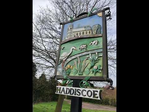
Haddiscoe Country Walk

Short video of walking some of the paths and lanes around Haddiscoe.

The Bells of Aldeby, Norfolk

Aldeby is one of those drowsy villages on that rise of Norfolk which is squeezed in the triangle of the valleys of the Yare and the ...

Nearby Amenities

Located within 500m of 52.497205,1.5983014
Power: pole
Lat/Long: 52.4932201/1.6006243
Power: pole
Transformer: distribution
Lat/Long: 52.4929588/1.5989721
Power: pole
Lat/Long: 52.4931531/1.5979689
Power: pole
Lat/Long: 52.493078/1.5965661
Power: pole
Lat/Long: 52.4987779/1.604948
Power: pole
Lat/Long: 52.4979982/1.6044813
Power: pole
Lat/Long: 52.4972144/1.6039985
Power: pole
Lat/Long: 52.4964682/1.6035533
Power: pole
Lat/Long: 52.4958427/1.6032475
Power: pole
Lat/Long: 52.4950801/1.6031671
Power: pole
Lat/Long: 52.4944171/1.6032287
The data included in this document is from www.openstreetmap.org. The data is made available under ODbL.

Have you been to Blyth Wood?

Leave your review of Blyth Wood below (or comments, questions and feedback).