Alder Carr

Wood, Forest in Norfolk Great Yarmouth

England

Alder Carr

Ferry Inn Pub on the River Bure.
Ferry Inn Credit: Wayland Smith

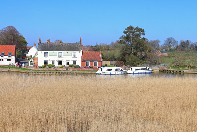
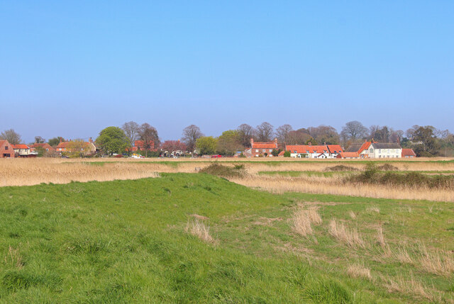
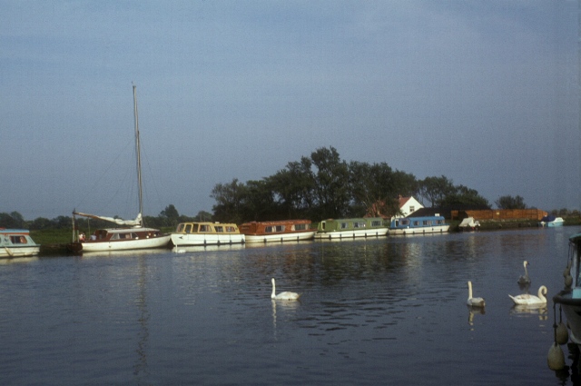
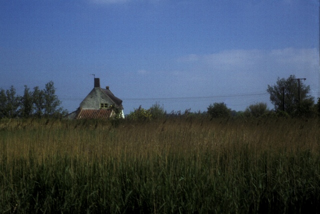
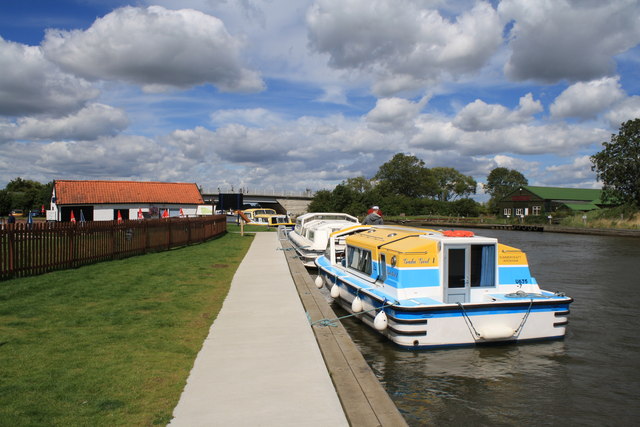
Alder Carr, located in Norfolk, England, is a picturesque woodland area known for its dense population of alder trees. Spanning across a vast expanse, the forest is a haven for nature enthusiasts and provides a tranquil escape from the bustling city life.

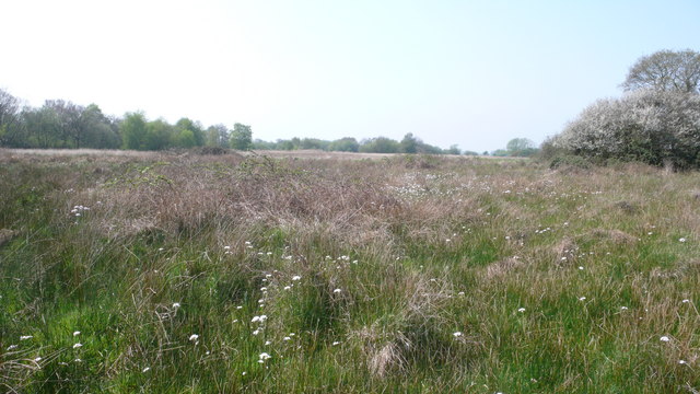
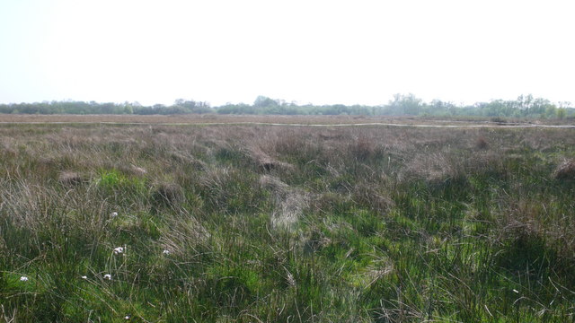
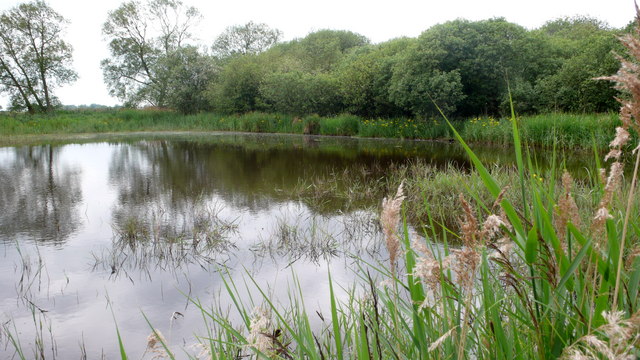
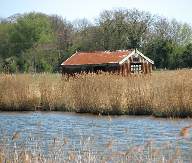
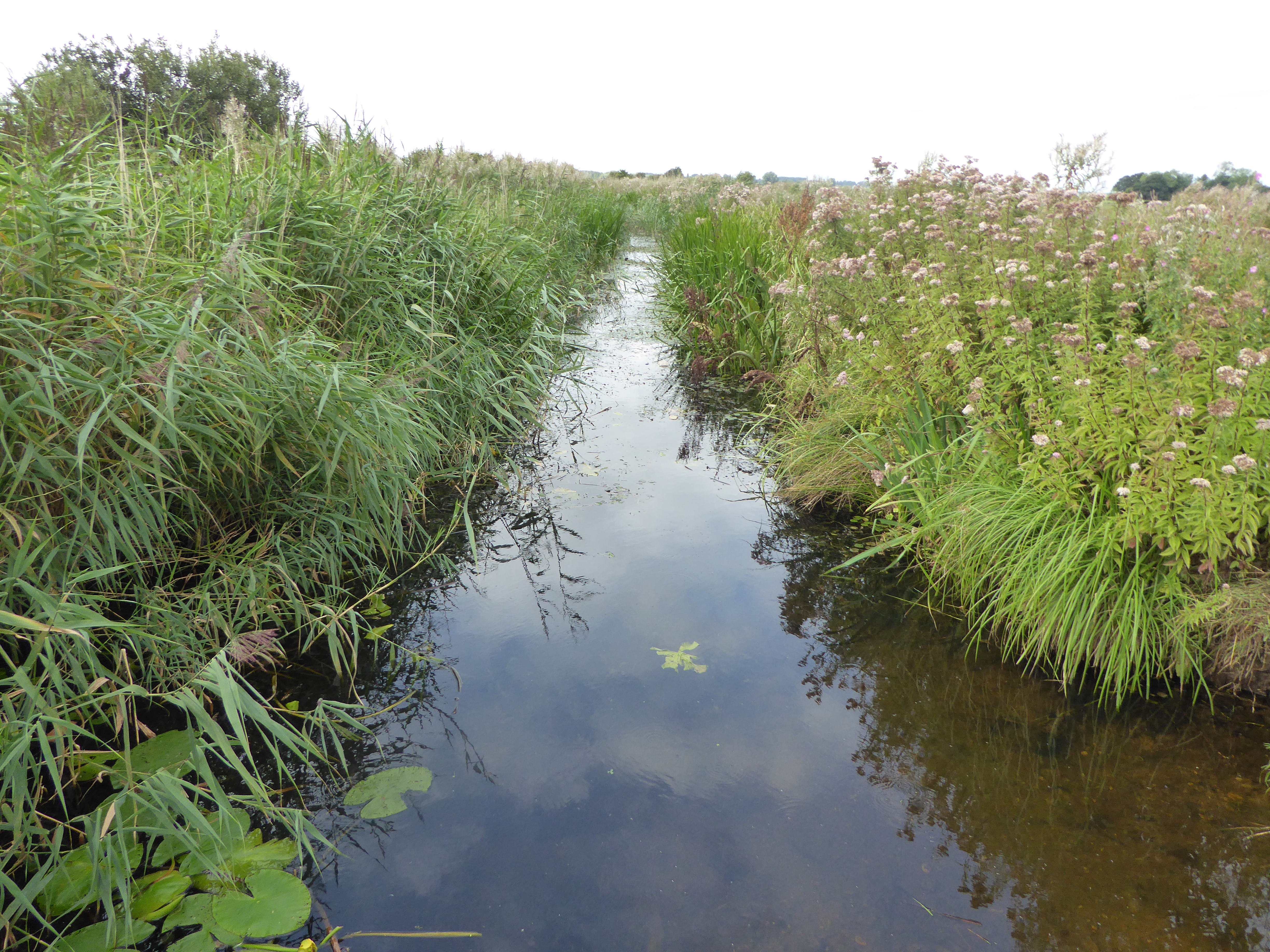
The woodland is characterized by its vibrant greenery and rich biodiversity. The alder trees, with their distinctive pointed leaves and slender trunks, dominate the landscape, creating a serene ambiance. These trees thrive in the damp conditions of the area, as Alder Carr is situated near the River Wensum, which provides a constant source of moisture.

Exploring Alder Carr offers visitors a chance to witness the diverse wildlife that calls this forest home. The dense undergrowth and canopies of the alder trees provide shelter for a variety of animals, including rare bird species, such as kingfishers and woodpeckers. Mammals like otters and water voles are also often spotted near the riverbanks.

For nature enthusiasts, Alder Carr is a treasure trove of plant species. The forest floor is adorned with a colorful carpet of wildflowers, including bluebells, primroses, and orchids, making it a feast for the eyes during springtime. The damp conditions also nurture a variety of fungi, adding to the ecological diversity.

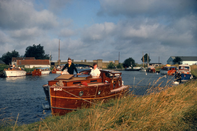
Alder Carr is not only a haven for wildlife, but also a popular destination for recreational activities. The forest provides numerous walking trails and cycling routes, allowing visitors to immerse themselves in the natural beauty of the area. Additionally, there are picnic areas and designated spots for birdwatching, providing something for everyone to enjoy.

In conclusion, Alder Carr is a thriving woodland area in Norfolk, boasting a dense population of alder trees and a rich biodiversity. It offers visitors the opportunity to experience the tranquility of nature, witness diverse wildlife, and engage in recreational activities.

If you have any feedback on the listing, please let us know in the comments section below.
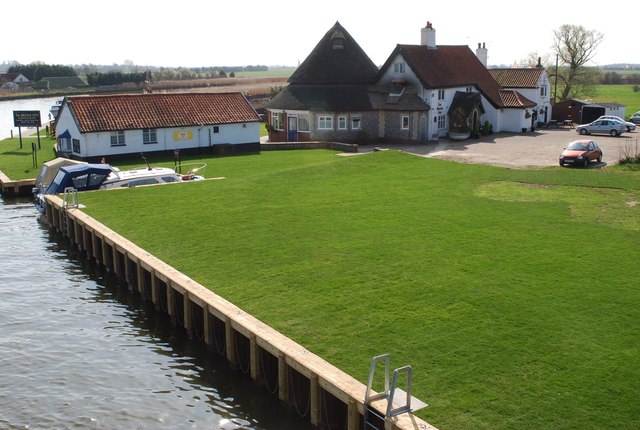
Alder Carr Images

Images are sourced within 2km of 52.647406/1.5973235 or Grid Reference TG4311. Thanks to Geograph Open Source API. All images are credited.

Ferry Inn Pub on the River Bure.
Ferry Inn
Pub on the River Bure.
Near Stokesby Footpath along the River Bure.
Near Stokesby
Footpath along the River Bure.
St. Andrews Church, Stokesby Parish church. C13 west tower, Decorated nave and continuous chancel. Restored 1856-58, chancel further restored 1910-15. Quaternary and Quarry flint, chert, Lincolnshire Limestone ashlar, chalk elements and brick with thatched roof. Belfry windows and triple crenellated brick parapet probably of 1500 when appropriate bequest is recorded.
St. Andrews Church, Stokesby
Parish church. C13 west tower, Decorated nave and continuous chancel. Restored 1856-58, chancel further restored 1910-15. Quaternary and Quarry flint, chert, Lincolnshire Limestone ashlar, chalk elements and brick with thatched roof. Belfry windows and triple crenellated brick parapet probably of 1500 when appropriate bequest is recorded.
Boat moorings, Acle Bridge Holiday cruisers moored opposite the Bridge Inn on the river Bure, east of the bridge.
Boat moorings, Acle Bridge
Holiday cruisers moored opposite the Bridge Inn on the river Bure, east of the bridge.
A cottage from the river A thatched cottage near Commission Mill, taken from the river Bure.
A cottage from the river
A thatched cottage near Commission Mill, taken from the river Bure.
Burgh Common The white flower is Lady's Smock, also known as the Cuckoo Flower, a typical marsh flower <en.wikipedia.org/wiki/Cardamine_pratensis>
Burgh Common
The white flower is Lady's Smock, also known as the Cuckoo Flower, a typical marsh flower <en.wikipedia.org/wiki/Cardamine_pratensis>
Burgh Common The electrified tape is to keep grazing cattle from an area of sedge. The sedge will be cut in future for use as roofing thatch.
Burgh Common
The electrified tape is to keep grazing cattle from an area of sedge. The sedge will be cut in future for use as roofing thatch.
Burgh Common Pond
Burgh Common
Pond
The Bridge Inn, Acle This public house is between the A1064 and the River Bure and has its own moorings for use by patrons arriving by boat.
The Bridge Inn, Acle
This public house is between the A1064 and the River Bure and has its own moorings for use by patrons arriving by boat.
Riverside commercial buildings near Acle Bridge These premises belong to Electrical Testing Limited, who provide electrical engineering consultancy services. This is a view from the Bridge Inn, on the opposite side of the River Bure.
Riverside commercial buildings near Acle Bridge
These premises belong to Electrical Testing Limited, who provide electrical engineering consultancy services. This is a view from the Bridge Inn, on the opposite side of the River Bure.
The Bridge Inn, Acle The footpath runs along the top of the bank, which separates the Bridge Inn beer garden from the moorings and the River Bure.
The Bridge Inn, Acle
The footpath runs along the top of the bank, which separates the Bridge Inn beer garden from the moorings and the River Bure.
The River Bure near Acle Bridge In the centre background can be seen the tower of Fleggburgh Drainage Mill.
The River Bure near Acle Bridge
In the centre background can be seen the tower of Fleggburgh Drainage Mill.
Moorings at the Bridge Inn, Acle These moorings are for patrons of the Bridge Inn and in the centre background can be seen Acle Bridge itself.
Moorings at the Bridge Inn, Acle
These moorings are for patrons of the Bridge Inn and in the centre background can be seen Acle Bridge itself.
River Bure, Acle Bridge
Entrance to Electric Testing Limited, north of Acle
Turning for Stokesby
Bridge Inn, River Bure Riverside pub near to Acle. Recently installed replacement piling in the foreground - part of the Broadland Flood Alleviation Project.
Bridge Inn, River Bure
Riverside pub near to Acle. Recently installed replacement piling in the foreground - part of the Broadland Flood Alleviation Project.
Pump house by the River Bure, Acle
Show me another place!

Alder Carr is located at Grid Ref: TG4311 (Lat: 52.647406, Lng: 1.5973235)

Administrative County: Norfolk

District: Great Yarmouth

Police Authority: Norfolk

What 3 Words

///humidity.importers.vocal. Near Acle, Norfolk

Nearby Locations

Alder Carr

Related Wikis

Stokesby with Herringby

Stokesby with Herringby is a civil parish in the English county of Norfolk. It comprises the village of Stokesby and the surrounding rural area. It is...

Burgh Common and Muckfleet Marshes

Burgh Common and Muckfleet Marshes is a 121.5-hectare (300-acre) biological Site of Special Scientific Interest south of Fleggburgh in Norfolk. It is...

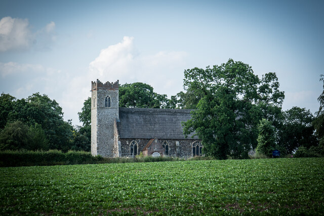
All Saints' Church, Billockby

All Saints' Church is an Anglican church, partly ruined, near the villages of Billockby and Fleggburgh, Norfolk, England. It is a Grade II listed building...

Fleggburgh

Burgh St Margaret, also known as Fleggburgh, is a village and civil parish in the English county of Norfolk. The village is located 6 miles (9.7 km) north...

Have you been to Alder Carr?

Leave your review of Alder Carr below (or comments, questions and feedback).