Darkrow Covert
Wood, Forest in Suffolk East Suffolk
England
Darkrow Covert

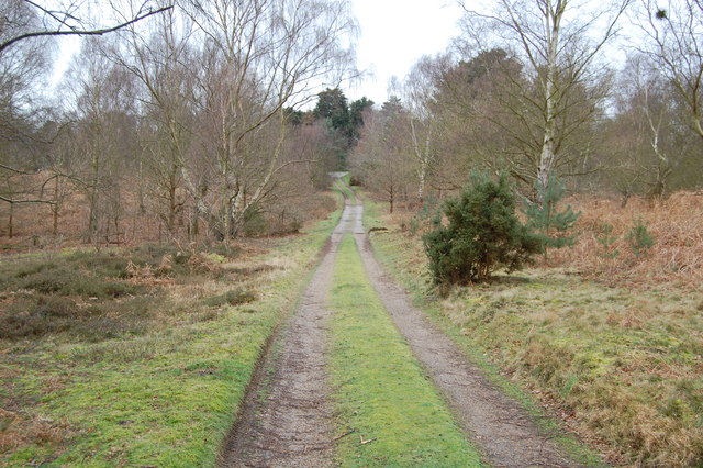
Darkrow Covert is a dense woodland area located in Suffolk, England. Situated near the town of Woodbridge, it covers an approximate area of 200 acres. The covert is characterized by a mix of deciduous and evergreen trees, creating a rich and diverse forest ecosystem.
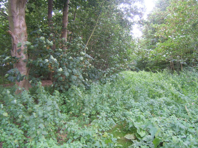
The woodland is home to a variety of plant and animal species, including oak, beech, and birch trees. These towering trees provide a dense canopy, creating a shaded and cool environment below. Bluebells, ferns, and other undergrowth plants thrive in the moist and fertile soil, adding to the covert's natural beauty.
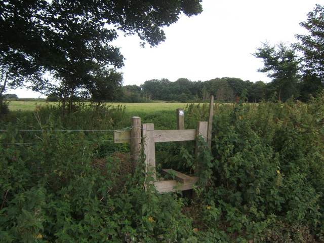
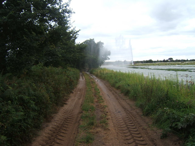
Darkrow Covert has a network of winding footpaths, making it an ideal location for walking, hiking, and exploring nature. The paths meander through the woodland, allowing visitors to appreciate the tranquility and serenity of the area. Birdwatchers can often spot a variety of bird species, including owls, woodpeckers, and thrushes.
The ancient woodland has a rich history and is believed to date back several hundred years. It has served as a source of timber and fuel for the local community throughout history. Today, it is protected as a Site of Special Scientific Interest (SSSI) to preserve its ecological importance.
Darkrow Covert is a haven for nature enthusiasts and offers a peaceful escape from the hustle and bustle of everyday life. Its picturesque beauty and diverse wildlife make it a popular destination for both locals and tourists seeking to connect with nature.
If you have any feedback on the listing, please let us know in the comments section below.
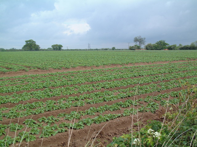
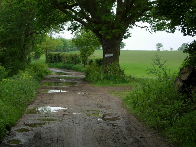
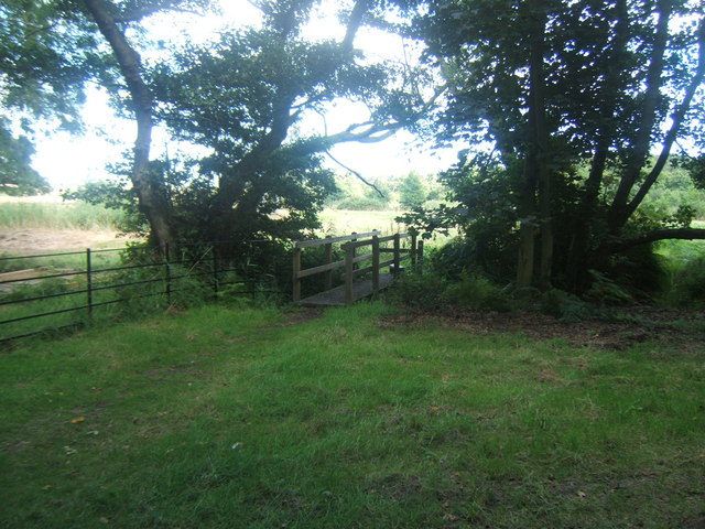
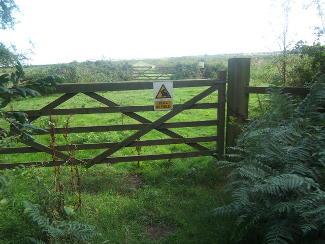
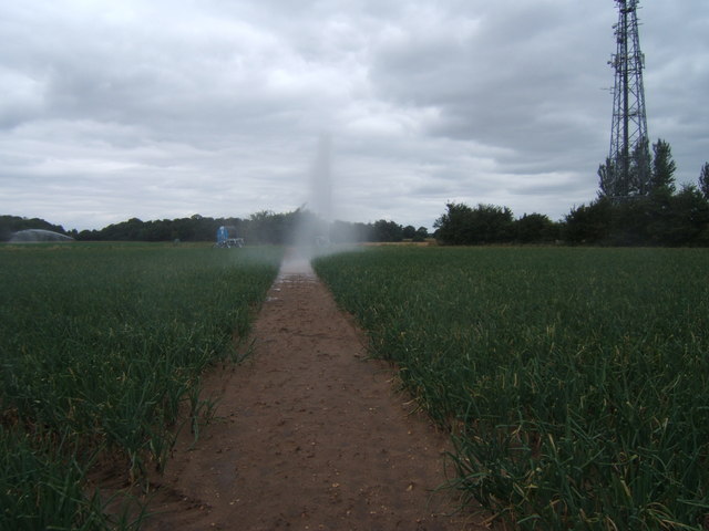
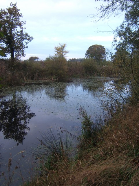
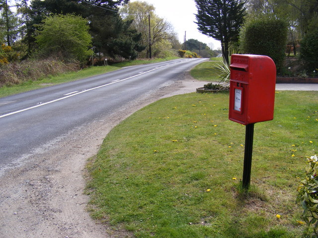
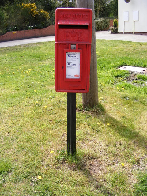
Darkrow Covert Images
Images are sourced within 2km of 52.184666/1.5562786 or Grid Reference TM4360. Thanks to Geograph Open Source API. All images are credited.


Darkrow Covert is located at Grid Ref: TM4360 (Lat: 52.184666, Lng: 1.5562786)
Administrative County: Suffolk
District: East Suffolk
Police Authority: Suffolk
What 3 Words
///upper.cheerful.overture. Near Leiston, Suffolk
Nearby Locations
Related Wikis

A1094 road
The A1094 is an A road in the English county of Suffolk. It is around 7 miles (11 km) in length. The road runs from a junction off the A12 trunk road at...
Knodishall
Knodishall, a village in Suffolk, England, lies 3.5 miles (6 km) south-east of Saxmundham, 1 mile (2 km) south-west of Leiston, and 3 miles from the coast...

Aldringham
Aldringham is a village in the Blything Hundred of Suffolk, England. The village is located 1 mile (1½ km) south of Leiston and 3 miles (4½ km) northwest...
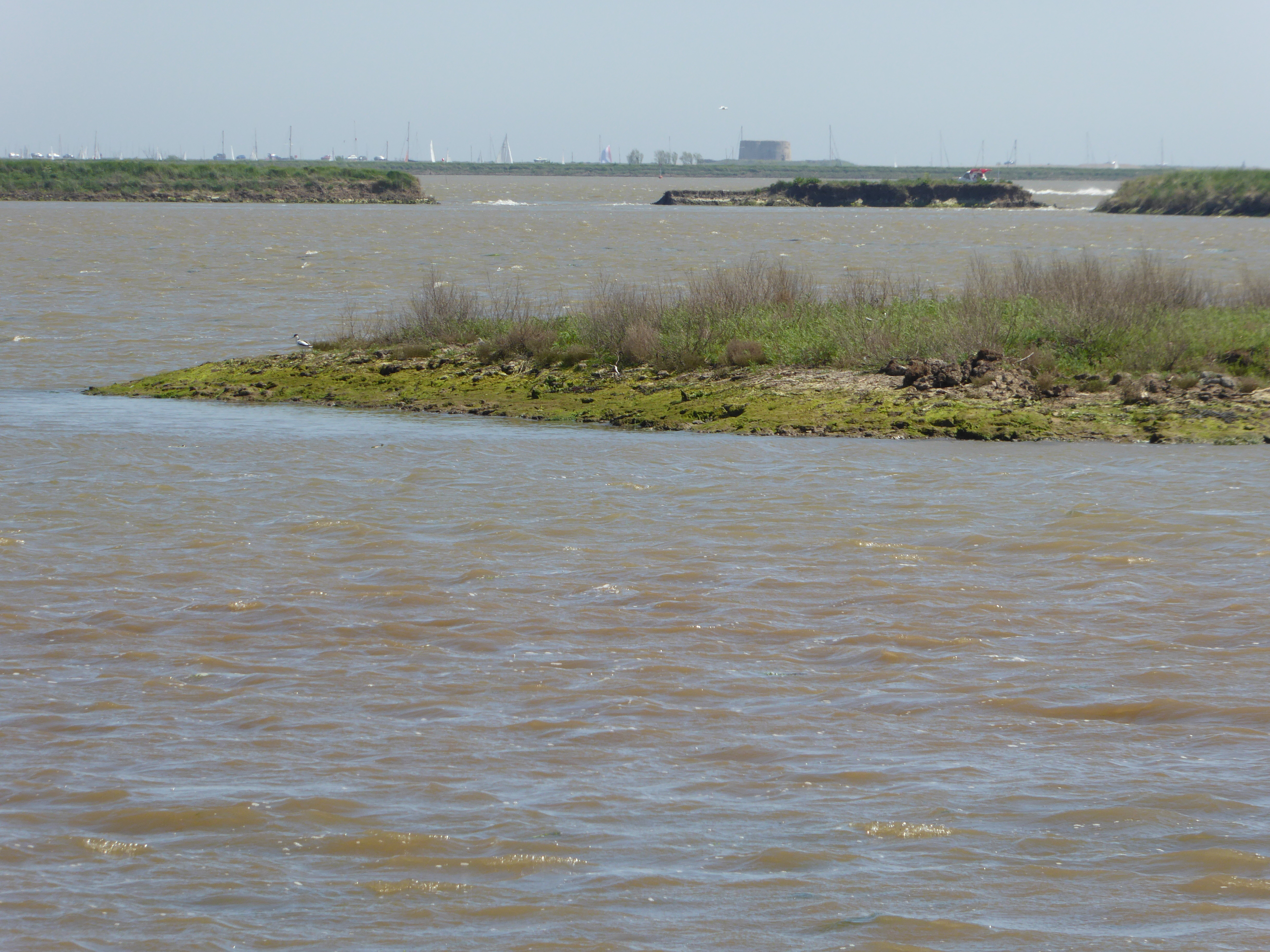
Hazlewood Marshes
Hazlewood Marshes is a 64 hectare nature reserve west of Aldeburgh in Suffolk. It is managed by the Suffolk Wildlife Trust. It is in the Alde-Ore Estuary...

Friston
Friston is a village and civil parish in the East Suffolk district, in the county of Suffolk, England. It is 3 miles (5 km) southeast of Saxmundham, its...
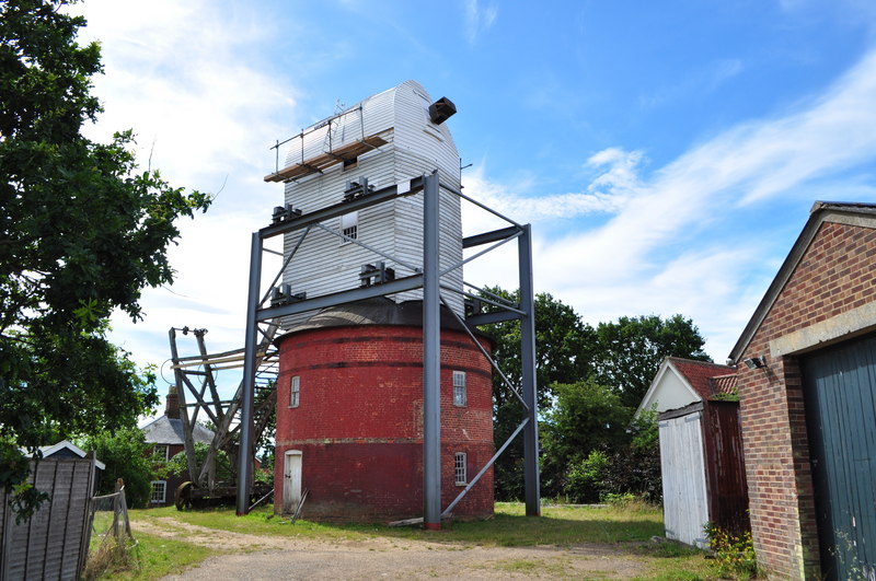
Friston Windmill
Friston Windmill is a Grade II* listed post mill at Friston, Suffolk, England which has been conserved. == History == Friston Windmill was moved from...

Leiston F.C.
Leiston Football Club is a football club based in Leiston, Suffolk, England. They are currently members of the Southern League Premier Division Central...
Leiston
Leiston ( LAY-stən) is an town in the East Suffolk district of Suffolk, England. It is close to Saxmundham and Aldeburgh, 21 miles (34 km) north-east of...
Have you been to Darkrow Covert?
Leave your review of Darkrow Covert below (or comments, questions and feedback).