Buckle's Wood
Wood, Forest in Suffolk East Suffolk
England
Buckle's Wood
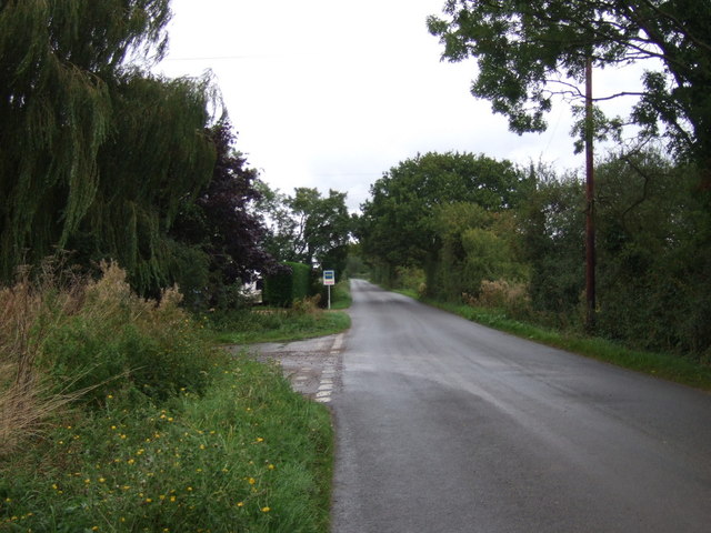
Buckle's Wood is a picturesque forest located in Suffolk, England. Covering an area of approximately 100 acres, it is a popular destination for nature lovers and outdoor enthusiasts. The wood is situated in a rural setting, surrounded by fields and farmland, providing a peaceful and tranquil atmosphere.
The forest is predominantly composed of deciduous trees, including oak, beech, and birch, which create a stunning display of colors during the autumn months. It is also home to a diverse range of flora and fauna, with wildflowers, ferns, and mosses carpeting the forest floor, and various bird species nesting in the treetops.
Buckle's Wood offers a network of well-maintained walking trails, allowing visitors to explore its beauty at their own pace. The paths wind through the wood, leading to hidden clearings, babbling brooks, and enchanting ponds. The forest is a haven for wildlife, with deer, rabbits, and squirrels often spotted darting among the trees.
In addition to its natural beauty, Buckle's Wood has historical significance as well. It is said to have been part of a medieval hunting ground and retains an air of ancient mystique. The wood is also believed to have inspired famous local writers and artists, who have captured its essence in their works.
Overall, Buckle's Wood offers a captivating blend of natural beauty, tranquility, and historical charm. Whether it's a leisurely stroll, birdwatching, or simply taking in the peaceful surroundings, this forest provides a rejuvenating escape from the hustle and bustle of everyday life.
If you have any feedback on the listing, please let us know in the comments section below.
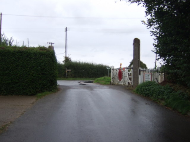
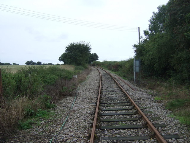
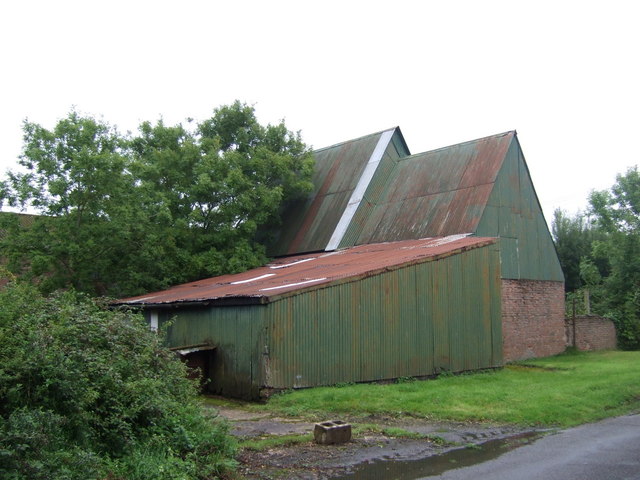
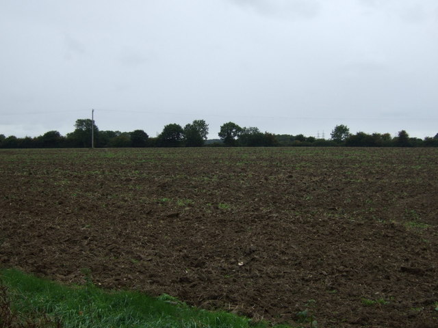
Buckle's Wood Images
Images are sourced within 2km of 52.215755/1.5582367 or Grid Reference TM4363. Thanks to Geograph Open Source API. All images are credited.


Buckle's Wood is located at Grid Ref: TM4363 (Lat: 52.215755, Lng: 1.5582367)
Administrative County: Suffolk
District: East Suffolk
Police Authority: Suffolk
What 3 Words
///redeemed.salutes.warp. Near Leiston, Suffolk
Nearby Locations
Related Wikis
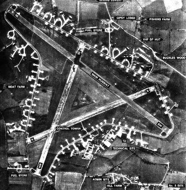
RAF Leiston
Royal Air Force Leiston or more simply RAF Leiston is a former Royal Air Force station located 1.5 km (0.93 mi) northwest of Leiston and 1 km (0.62 mi...
Summerhill School
Summerhill School is an independent (i.e. fee-charging) boarding school in Leiston, Suffolk, England. It was founded in 1921 by Alexander Sutherland Neill...

Leiston railway station
Leiston railway station was a station in Leiston, Suffolk. It was opened in 1859 by the East Suffolk Railway and later became part of the Great Eastern...

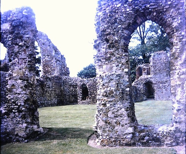
Leiston Abbey
Leiston Abbey outside the town of Leiston, Suffolk, England, was a religious house of Canons Regular following the Premonstratensian rule (White canons...
Richard Garrett & Sons
Richard Garrett & Sons was a manufacturer of agricultural machinery, steam engines and trolleybuses. Their factory was Leiston Works, in Leiston, Suffolk...

Long Shop Museum
The Long Shop Museum is an industrial heritage museum in the town of Leiston in the English county of Suffolk. The museum features the history of Richard...

Leiston F.C.
Leiston Football Club is a football club based in Leiston, Suffolk, England. They are currently members of the Southern League Premier Division Central...
Leiston
Leiston ( LAY-stən) is an town in the East Suffolk district of Suffolk, England. It is close to Saxmundham and Aldeburgh, 21 miles (34 km) north-east of...
Nearby Amenities
Located within 500m of 52.215755,1.5582367Have you been to Buckle's Wood?
Leave your review of Buckle's Wood below (or comments, questions and feedback).