Davy's Spring
Wood, Forest in Suffolk East Suffolk
England
Davy's Spring

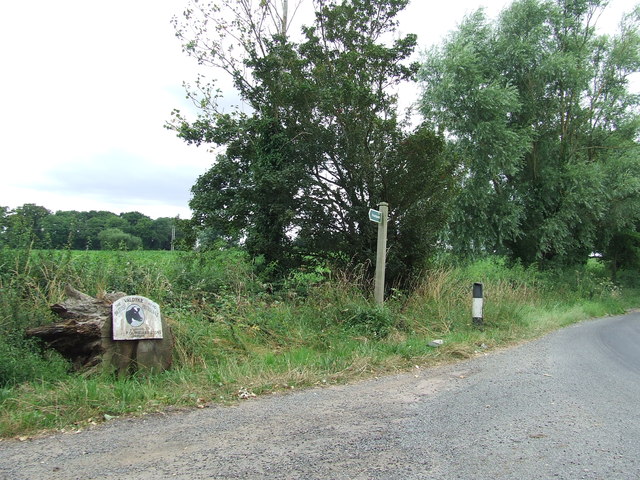
Davy's Spring, located in Suffolk, is a picturesque woodland area encompassing a beautiful spring that has been a popular tourist attraction for years. The spring is located within a dense forest, providing a serene and tranquil environment for visitors to enjoy.
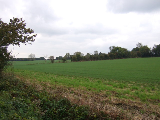
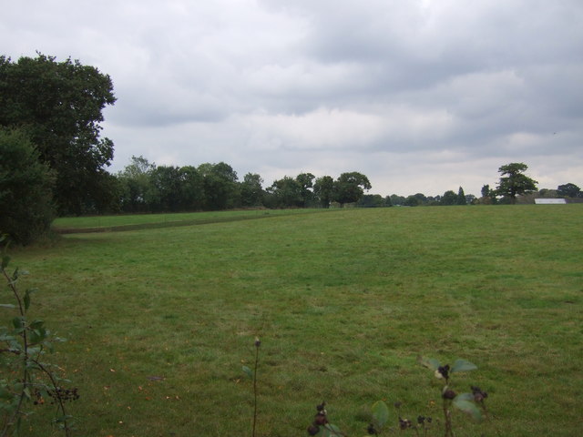
The woodland area surrounding Davy's Spring is rich in biodiversity, with a variety of tree species such as oak, beech, and pine creating a lush green canopy overhead. The forest floor is adorned with a carpet of vibrant wildflowers and moss, adding to the enchanting atmosphere of the location.
The spring itself is a small, crystal-clear stream that originates from an underground water source. The water flows gently over rocks and pebbles, creating a soothing sound that complements the peaceful ambiance of the woodland. It is a popular spot for photography enthusiasts, as the reflections of the surrounding trees and flora create stunning images.
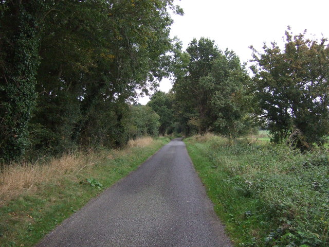
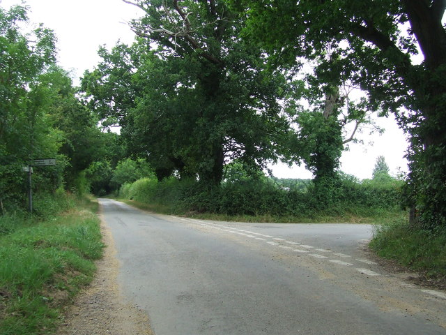
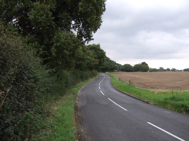
Visitors to Davy's Spring can enjoy a leisurely walk along the well-maintained trails that wind through the forest, providing opportunities for exploration and relaxation. The area also offers picnic spots where visitors can enjoy a meal amidst nature's beauty.
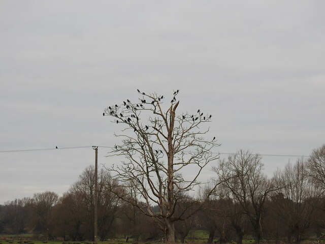
Birdwatchers will be delighted to find an array of bird species inhabiting the area, including woodpeckers, nuthatches, and songbirds. The woodland also serves as a habitat for various mammals, such as foxes, squirrels, and deer.
Overall, Davy's Spring in Suffolk is a hidden gem of natural beauty, offering a peaceful escape from the hustle and bustle of everyday life. Whether it's for a leisurely stroll, a picnic, or wildlife observation, this woodland area never fails to captivate visitors with its stunning scenery and tranquil atmosphere.
If you have any feedback on the listing, please let us know in the comments section below.
Davy's Spring Images
Images are sourced within 2km of 52.349285/1.5685208 or Grid Reference TM4378. Thanks to Geograph Open Source API. All images are credited.


Davy's Spring is located at Grid Ref: TM4378 (Lat: 52.349285, Lng: 1.5685208)
Administrative County: Suffolk
District: East Suffolk
Police Authority: Suffolk
What 3 Words
///ankle.anguished.sideboard. Near Halesworth, Suffolk
Nearby Locations
Related Wikis
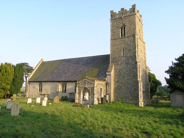
Sotherton
Sotherton is a dispersed village and civil parish in the East Suffolk district, in the English county of Suffolk. It is located approximately 7 miles...
Blyford
Blyford (formerly known as Blythford) is a village and civil parish in the East Suffolk district of Suffolk, England, about 3 miles (5 km) east of Halesworth...
Henham, Suffolk
Henham is a former civil parish now in the parish of Wangford with Henham, in the East Suffolk district, in the county of Suffolk, England. In 1961 the...

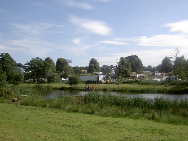
Grand Henham Steam Rally
The Grand Henham Steam Rally is a steam rally held every September at Henham Park near Southwold. It features displays of fixed and mobile steam engines...
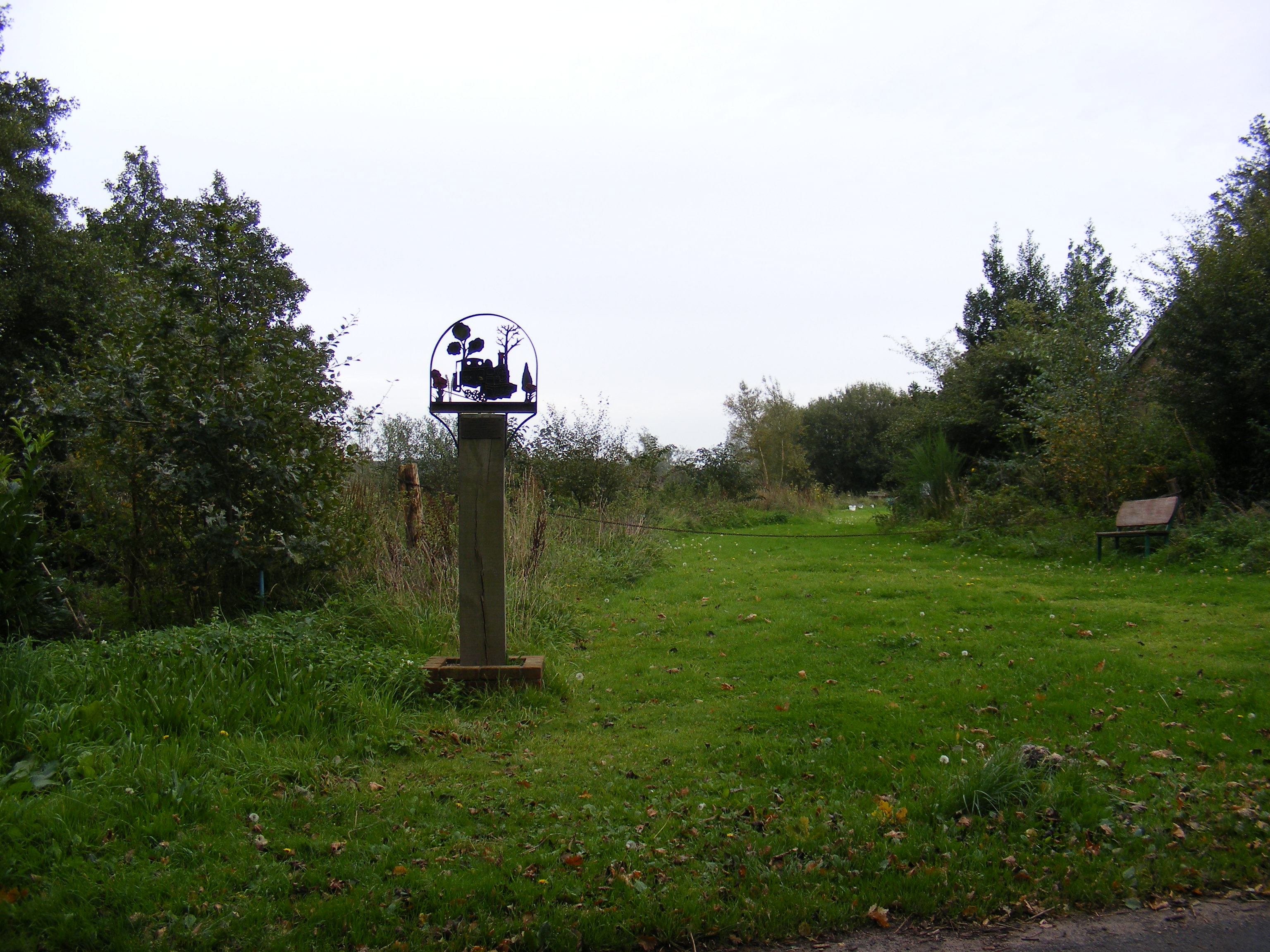
Wenhaston railway station
Wenhaston railway station was in Wenhaston, Suffolk. It closed in 1929, 50 years after it had opened for passenger traffic. The Southwold Railway Trust...

Blything Hundred
Blything was a hundred of eastern Suffolk, and with an area of 87,641 acres (354.67 km2) was the largest of Suffolk's 21 hundreds. The origins of the hundred...

Uggeshall
Uggeshall is a village and civil parish in the East Suffolk district, in the county of Suffolk, England, located approximately 6 miles (10 km) south of...
Latitude Festival
Latitude Festival is an annual music and arts festival set within the grounds of Henham Park, near Southwold, Suffolk, England.The first edition of the...
Nearby Amenities
Located within 500m of 52.349285,1.5685208Have you been to Davy's Spring?
Leave your review of Davy's Spring below (or comments, questions and feedback).