Beck Plantation

Wood, Forest in Suffolk East Suffolk

England

Beck Plantation

Church of St Margaret, Stoven <span class="nowrap"><a title="https://historicengland.org.uk/listing/the-list/list-entry/1032100?section=official-list-entry" rel="nofollow ugc noopener" href="https://historicengland.org.uk/listing/the-list/list-entry/1032100?section=official-list-entry">Link</a><img style="margin-left:2px;" alt="External link" title="External link - shift click to open in new window" src="https://s1.geograph.org.uk/img/external.png" width="10" height="10"/></span>
Church of St Margaret, Stoven Credit: Sandy Gerrard

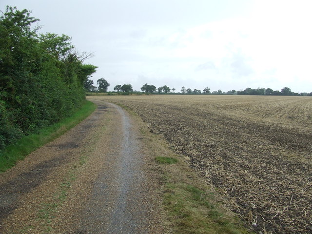
Beck Plantation is a picturesque woodland area located in Suffolk, England. Spread over a sprawling expanse, the plantation is known for its dense forest and rich biodiversity. Nestled amidst the rolling hills and tranquil surroundings, it provides a serene escape for nature enthusiasts and hikers alike.

The plantation is predominantly covered in a mix of deciduous and coniferous trees, including oak, beech, pine, and spruce. These trees create a dense canopy, allowing only fragments of sunlight to penetrate through the foliage, creating a magical and ethereal atmosphere. The forest floor is carpeted with a variety of wildflowers, ferns, and mosses, offering a vibrant burst of colors.

Numerous walking trails wind their way through the plantation, allowing visitors to explore the diverse flora and fauna. The trails are well-maintained and offer varying levels of difficulty, catering to both casual walkers and avid hikers. Along the way, one can encounter a plethora of wildlife, including squirrels, deer, foxes, and a wide array of bird species.

Beck Plantation is also home to a small lake, adding to its natural charm. The lake serves as a habitat for various aquatic creatures and attracts a range of waterfowl, providing birdwatchers with ample opportunities to spot rare species.

The plantation is a popular destination for outdoor activities such as picnicking, birdwatching, and photography. Its tranquil ambiance and untouched beauty make it a haven for those seeking solace in nature. Whether it is a leisurely stroll or an immersive exploration of the woodland, Beck Plantation promises an enchanting experience for all who visit.

If you have any feedback on the listing, please let us know in the comments section below.

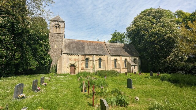
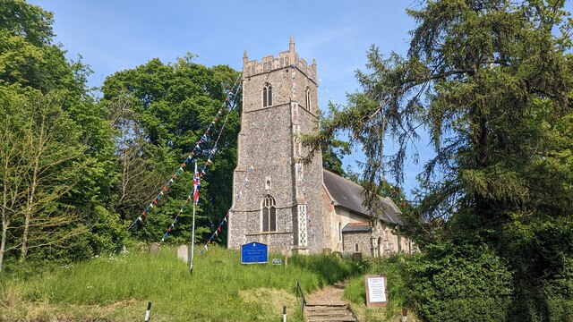
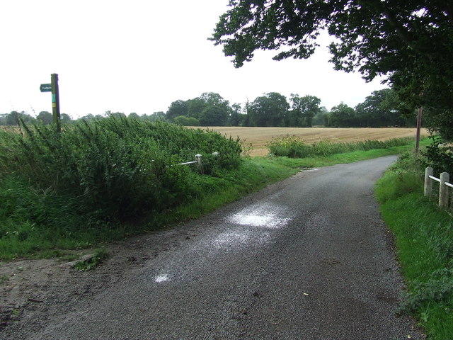
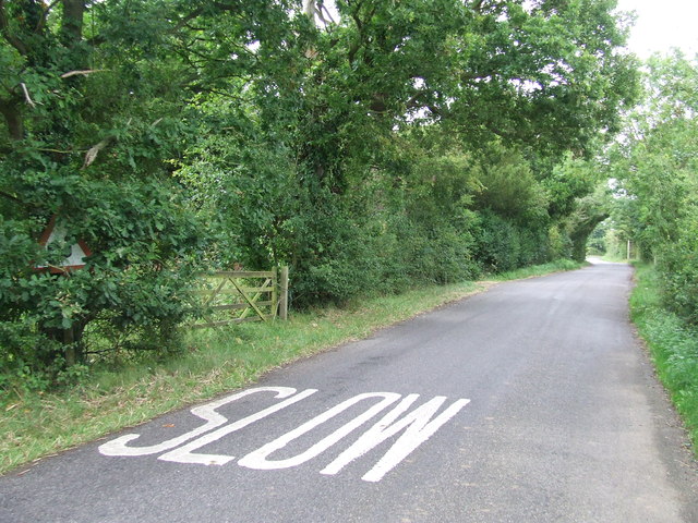
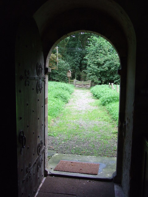
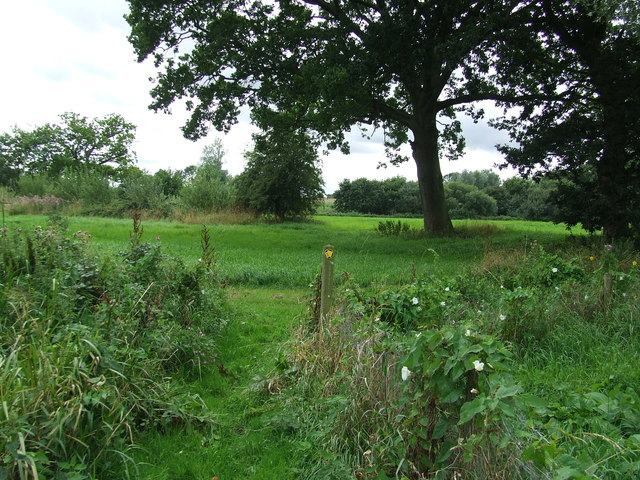
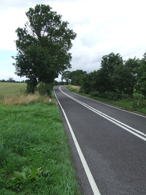
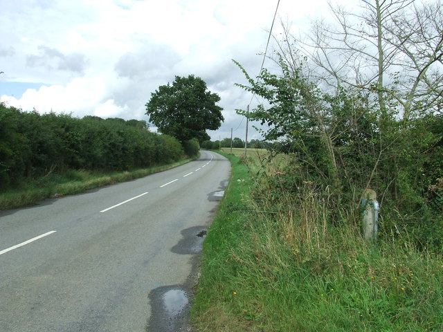
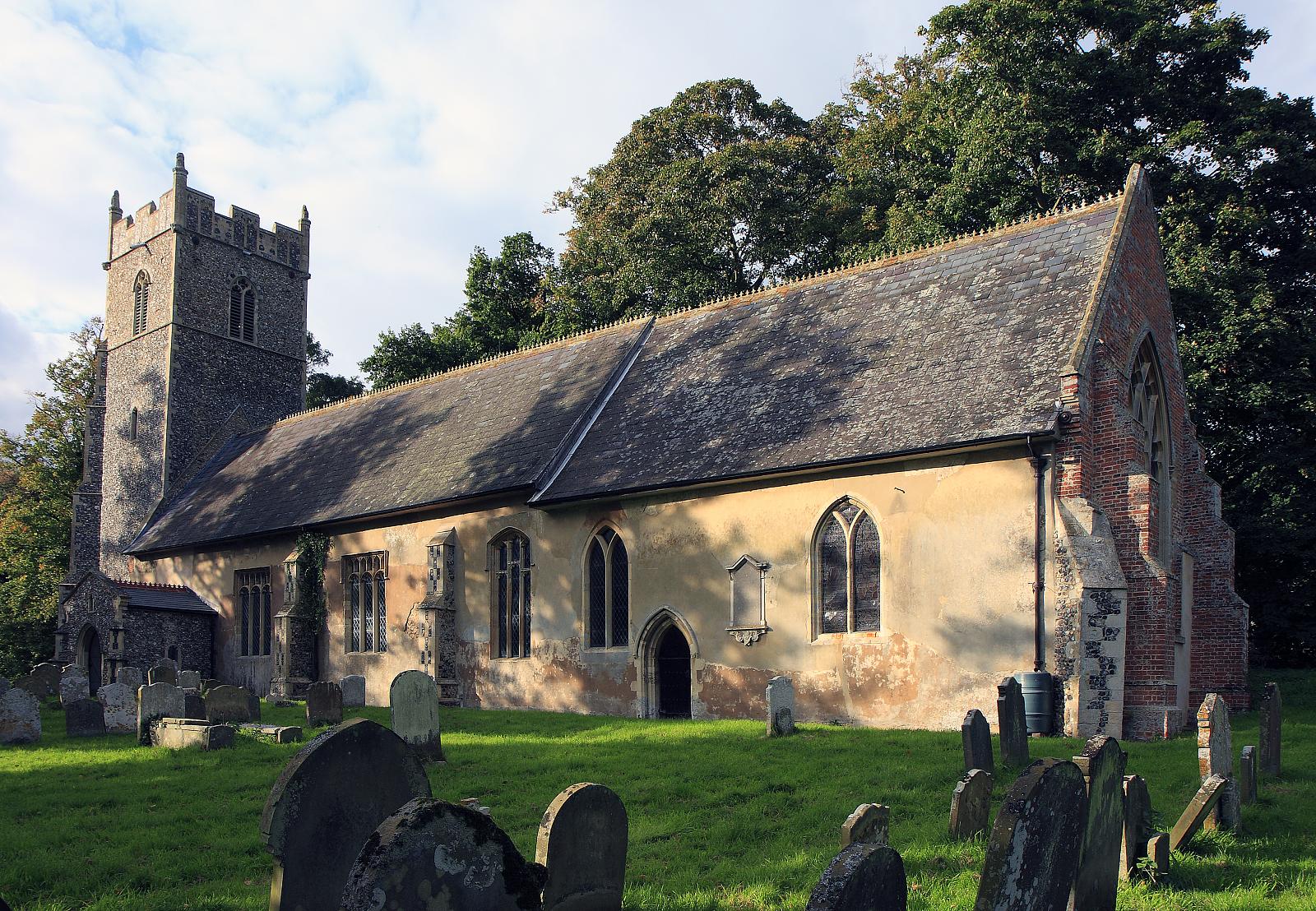
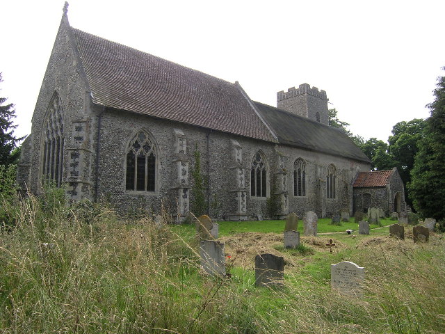
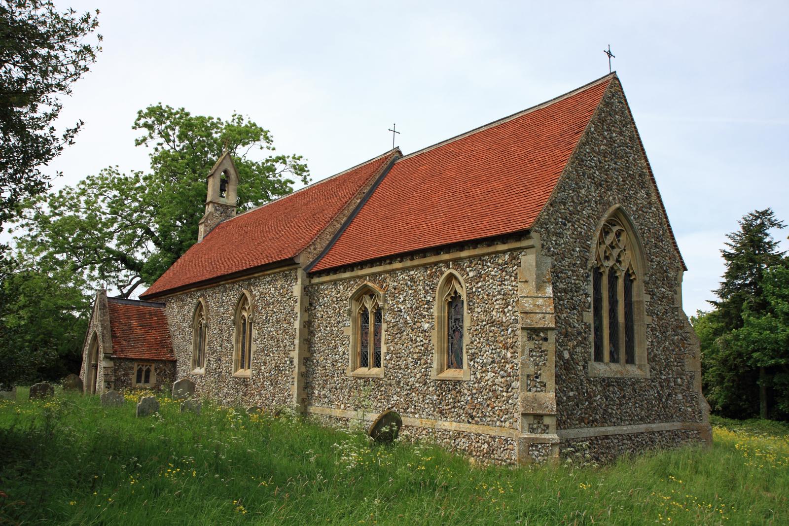
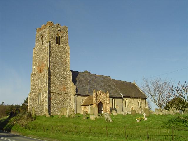
Beck Plantation Images

Images are sourced within 2km of 52.372704/1.5691906 or Grid Reference TM4380. Thanks to Geograph Open Source API. All images are credited.

Church of St Margaret, Stoven <span class="nowrap"><a title="https://historicengland.org.uk/listing/the-list/list-entry/1032100?section=official-list-entry" rel="nofollow ugc noopener" href="https://historicengland.org.uk/listing/the-list/list-entry/1032100?section=official-list-entry">Link</a><img style="margin-left:2px;" alt="External link" title="External link - shift click to open in new window" src="https://s1.geograph.org.uk/img/external.png" width="10" height="10"/></span>
Church of St Margaret, Stoven
Church of St. Peter, Brampton <span class="nowrap"><a title="https://historicengland.org.uk/listing/the-list/list-entry/1352565?section=official-list-entry" rel="nofollow ugc noopener" href="https://historicengland.org.uk/listing/the-list/list-entry/1352565?section=official-list-entry">Link</a><img style="margin-left:2px;" alt="External link" title="External link - shift click to open in new window" src="https://s1.geograph.org.uk/img/external.png" width="10" height="10"/></span>
Church of St. Peter, Brampton
Church of St. Andrew, Westhall <span class="nowrap"><a title="https://historicengland.org.uk/listing/the-list/list-entry/1352611?section=official-list-entry" rel="nofollow ugc noopener" href="https://historicengland.org.uk/listing/the-list/list-entry/1352611?section=official-list-entry">Link</a><img style="margin-left:2px;" alt="External link" title="External link - shift click to open in new window" src="https://s1.geograph.org.uk/img/external.png" width="10" height="10"/></span>
Church of St. Andrew, Westhall
Footpath off The Causeway Footpath off minor road marked on map as The Causeway near to Mill Common, Suffolk.
Footpath off The Causeway
Footpath off minor road marked on map as The Causeway near to Mill Common, Suffolk.
Dog Waste Bin Dog waste bin on The Causeway near to Mill Common, Suffolk.
Dog Waste Bin
Dog waste bin on The Causeway near to Mill Common, Suffolk.
Bacon's Green Road Bacon's Green Road looking east near to Mill Common, Suffolk.
Bacon's Green Road
Bacon's Green Road looking east near to Mill Common, Suffolk.
Footpath Off Low Road Footpath off Low Road looking south near to Mill Common, Suffolk.
Footpath Off Low Road
Footpath off Low Road looking south near to Mill Common, Suffolk.
Slow Warning sign on Station Road near to Brampton Street, Suffolk.
Slow
Warning sign on Station Road near to Brampton Street, Suffolk.
Farm Track And Footpath Farm track and footpath near to Brampton Street, Suffolk.
Farm Track And Footpath
Farm track and footpath near to Brampton Street, Suffolk.
Footpath Sign Footpath sign of minor road at Stoven, Suffolk.
Footpath Sign
Footpath sign of minor road at Stoven, Suffolk.
St Margaret Stoven The church and church notice board of St Margaret, Stoven, Suffolk for info on the church see <span class="nowrap"><a title="http://www.suffolkchurches.co.uk/stoven.htm" rel="nofollow ugc noopener" href="http://www.suffolkchurches.co.uk/stoven.htm">Link</a><img style="margin-left:2px;" alt="External link" title="External link - shift click to open in new window" src="https://s1.geograph.org.uk/img/external.png" width="10" height="10"/></span>
St Margaret Stoven
The church and church notice board of St Margaret, Stoven, Suffolk for info on the church see LinkExternal link
War Memorial War memorial and roll of honour for the village of Stoven, Suffolk in the village church of St Margaret.
War Memorial
War memorial and roll of honour for the village of Stoven, Suffolk in the village church of St Margaret.
View from the door View from the door of St Margaret, Stoven, Suffolk.
View from the door
View from the door of St Margaret, Stoven, Suffolk.
Turn Right Footpath sign guiding you to the right as seen near to Stoven, Suffolk.
Turn Right
Footpath sign guiding you to the right as seen near to Stoven, Suffolk.
The A145 Looking north along the A145 near to Stoven, Suffolk.
The A145
Looking north along the A145 near to Stoven, Suffolk.
Halesworth Road Looking north along The Halesworth Road near to Brampton, Suffolk.
Halesworth Road
Looking north along The Halesworth Road near to Brampton, Suffolk.
Road Junction Road junction of Low Road, The Street and Moll's Lane at Brompton Street, Suffolk.
Road Junction
Road junction of Low Road, The Street and Moll's Lane at Brompton Street, Suffolk.
St Peter Brampton The church of St Peter, Brampton, Suffolk; for info on the church see <span class="nowrap"><a title="http://www.suffolkchurches.co.uk/brampton.htm" rel="nofollow ugc noopener" href="http://www.suffolkchurches.co.uk/brampton.htm">Link</a><img style="margin-left:2px;" alt="External link" title="External link - shift click to open in new window" src="https://s1.geograph.org.uk/img/external.png" width="10" height="10"/></span>
St Peter Brampton
The church of St Peter, Brampton, Suffolk; for info on the church see LinkExternal link
Show me another place!

Beck Plantation is located at Grid Ref: TM4380 (Lat: 52.372704, Lng: 1.5691906)

Administrative County: Suffolk

District: East Suffolk

Police Authority: Suffolk

What 3 Words

///flopped.disco.host. Near Halesworth, Suffolk
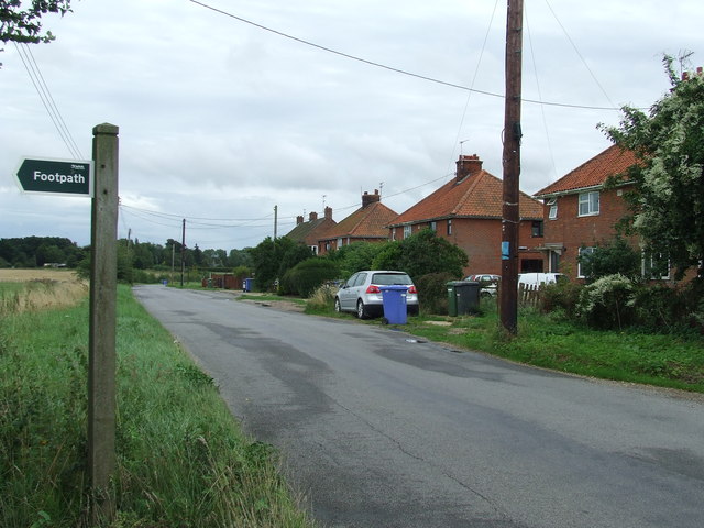
Related Wikis

Brampton, Suffolk

Brampton is a village and former civil parish, now in the parish of Brampton with Stoven, in the East Suffolk district, in the county of Suffolk, England...

Brampton with Stoven

Brampton with Stoven is a civil parish in the East Suffolk district of the English county of Suffolk. It is located 6 miles (9.7 km) south of the town...

Westhall

Westhall is a village and civil parish in the East Suffolk district, in the county Suffolk, England about 3 miles (5 km) north east of Halesworth, 1 mile...

Sotherton

Sotherton is a dispersed village and civil parish in the East Suffolk district, in the English county of Suffolk. It is located approximately 7 miles...

Stoven

Stoven is a village and former civil parish now in the parish of Brampton with Stoven, in the East Suffolk district of the English county of Suffolk. It...

Uggeshall

Uggeshall is a village and civil parish in the East Suffolk district, in the county of Suffolk, England, located approximately 6 miles (10 km) south of...

Shadingfield

Shadingfield is a village and civil parish in the East Suffolk district of the English county of Suffolk. It is located around 4 miles (6.4 km) south of...

A145 road

The A145 is an A road in the English county of Suffolk. It runs from east of the town of Beccles, close to the border with Norfolk, to the village of Blythburgh...

Nearby Amenities

Located within 500m of 52.372704,1.5691906
Westhall
Created By: Potlatch 0.10b
Place: village
Source: npe
Wikidata: Q2735561
Lat/Long: 52.3696688/1.5645298
The data included in this document is from www.openstreetmap.org. The data is made available under ODbL.

Have you been to Beck Plantation?

Leave your review of Beck Plantation below (or comments, questions and feedback).