Redland's Covert

Wood, Forest in Suffolk East Suffolk

England

Redland's Covert

Sunset over the Aldeburgh Marshes, Aldeburgh Suffolk Looking south west across Short Reach River Alde towards Cawton
Sunset over the Aldeburgh Marshes, Aldeburgh Suffolk Credit: John Winfield

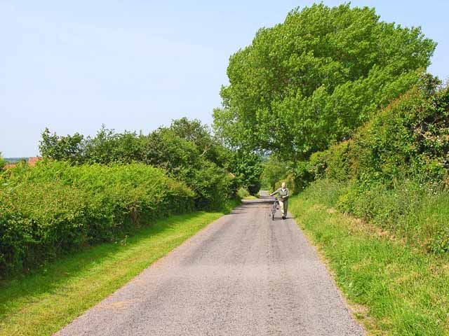
Redland's Covert is a picturesque woodland located in Suffolk, England. Nestled in the heart of the countryside, this enchanting forest covers an area of approximately 100 acres, providing a serene and tranquil escape from the hustle and bustle of city life.

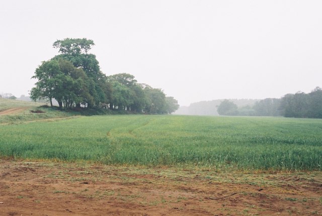
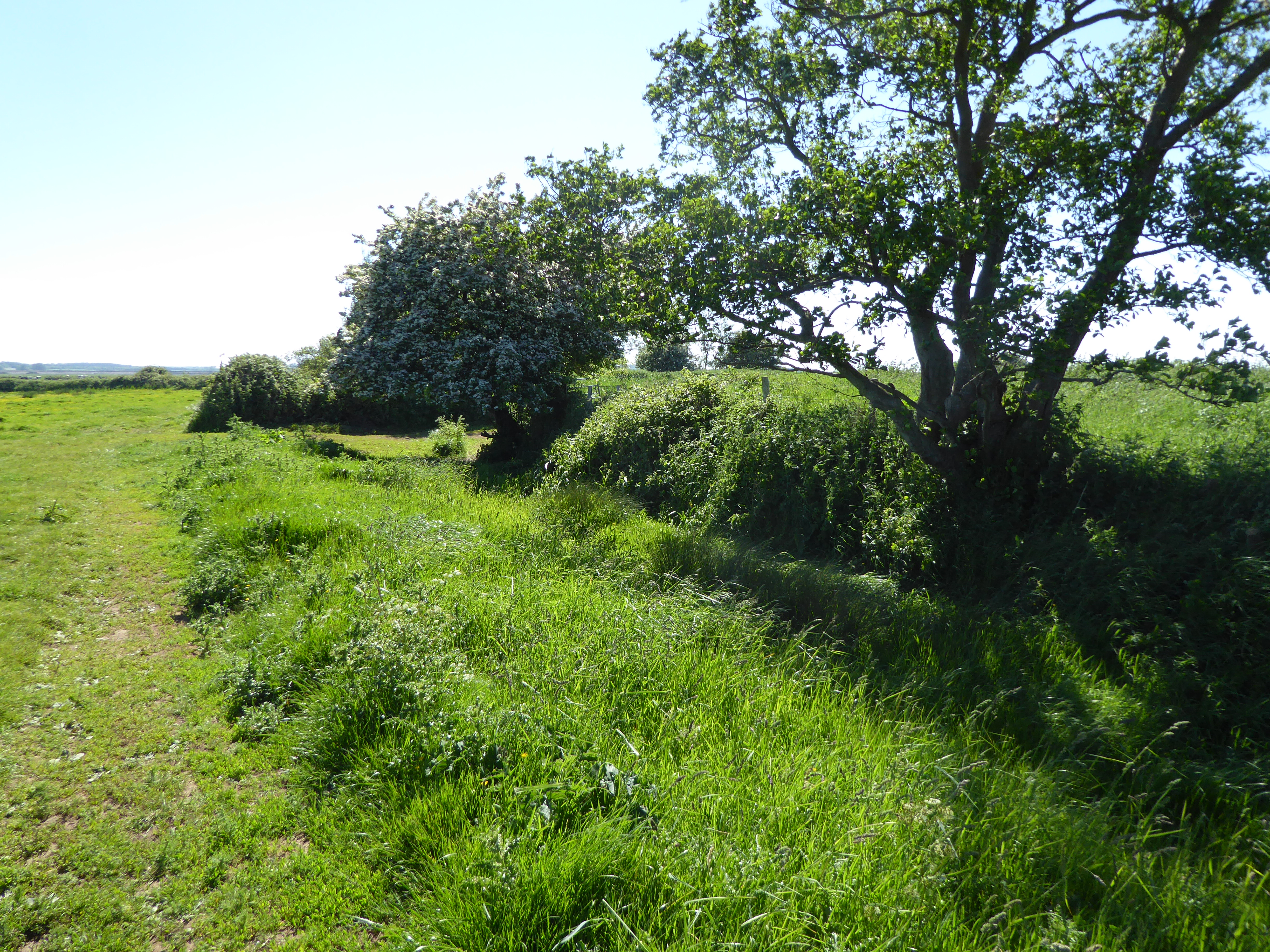
The woodland is predominantly made up of a mix of native broadleaf trees, including oak, beech, and birch, creating a diverse and vibrant ecosystem. The lush undergrowth consists of ferns, bluebells, and wildflowers, further enhancing the natural beauty of the area. The forest floor is covered in a thick carpet of moss and fallen leaves, providing a soft and cushioned walking surface.

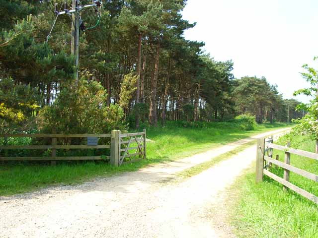
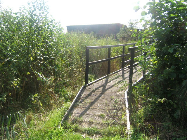
Numerous walking trails crisscross the woodland, offering visitors the opportunity to explore its hidden treasures. These well-maintained paths meander through the trees, leading to secluded clearings and idyllic picnic spots. The sound of birdsong fills the air, as various species of woodland birds, such as robins, blackbirds, and great tits, make their homes among the branches.

Redland's Covert is also home to a variety of wildlife, including deer, rabbits, and squirrels. If lucky, visitors might catch a glimpse of these elusive creatures as they roam freely through the forest. The woodland is known for its rich biodiversity and is a designated nature reserve, attracting nature enthusiasts and wildlife photographers alike.

The management of Redland's Covert is committed to preserving its natural beauty and protecting its inhabitants. Regular conservation efforts take place, including tree planting and invasive species control, ensuring the continued health and sustainability of the woodland.

Overall, Redland's Covert is a hidden gem in Suffolk, offering a peaceful retreat for nature lovers and a haven for wildlife. Whether for a leisurely walk, a picnic, or wildlife spotting, this woodland provides an immersive experience in the beauty and tranquility of nature.

If you have any feedback on the listing, please let us know in the comments section below.

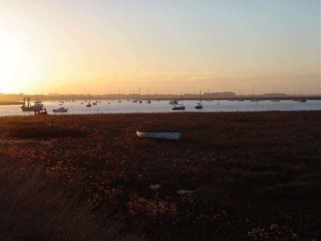
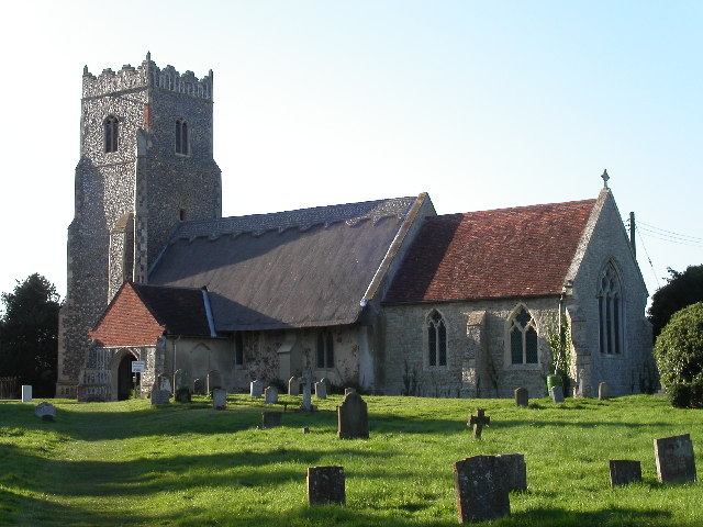
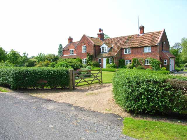
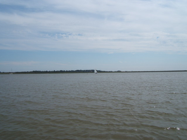
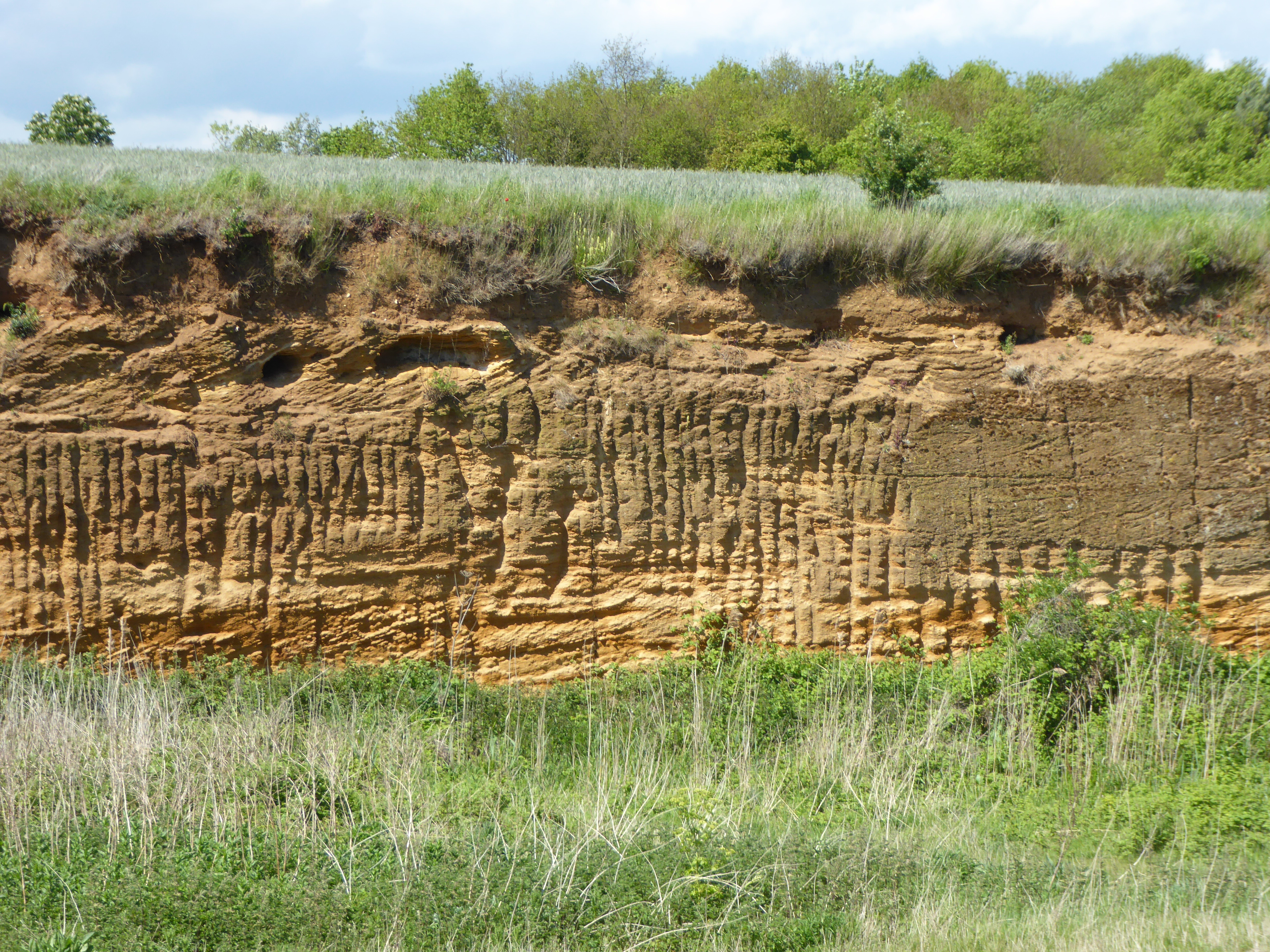
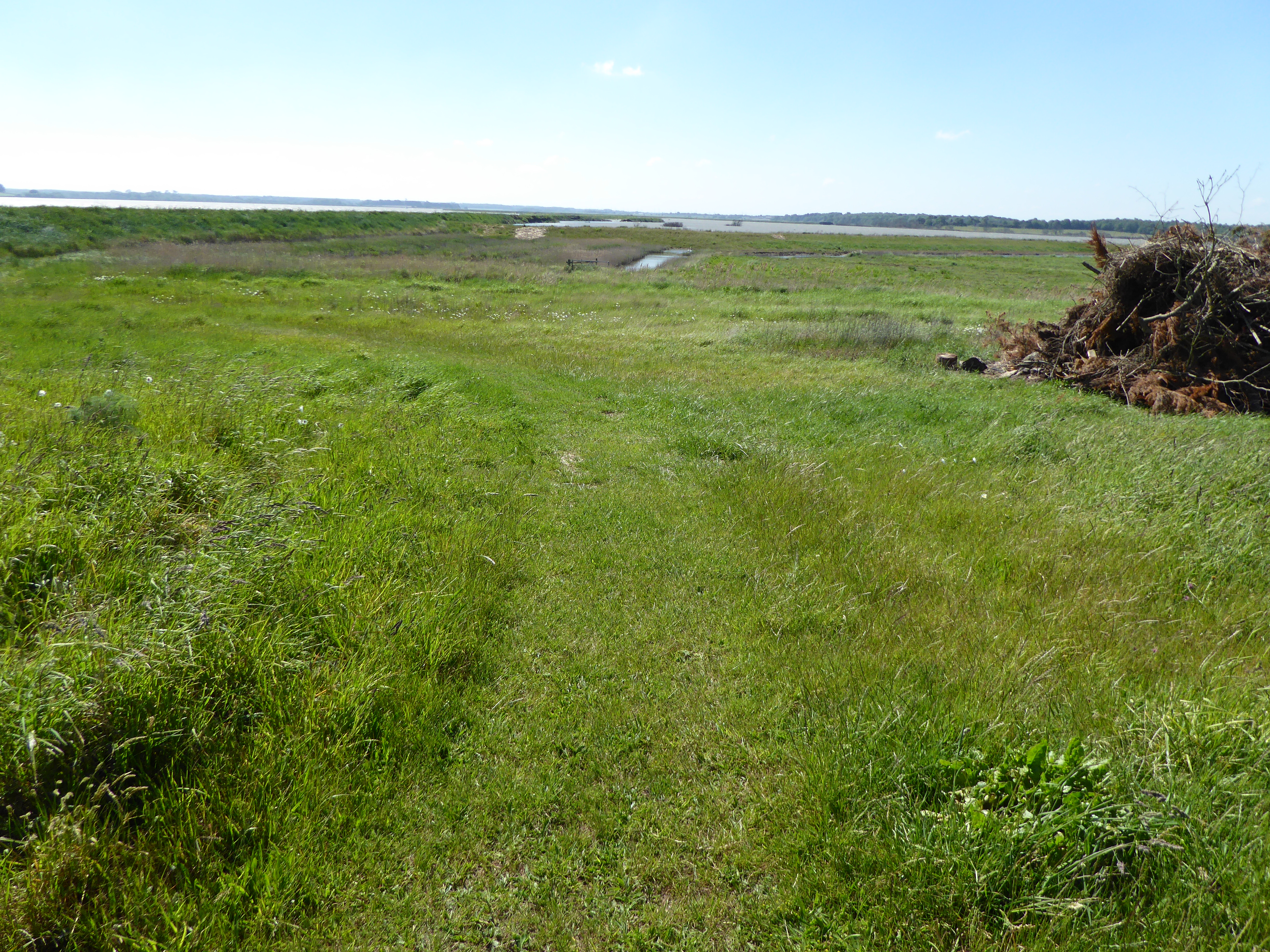
Redland's Covert Images

Images are sourced within 2km of 52.147778/1.5491247 or Grid Reference TM4255. Thanks to Geograph Open Source API. All images are credited.

Sunset over the Aldeburgh Marshes, Aldeburgh Suffolk Looking south west across Short Reach River Alde towards Cawton
Sunset over the Aldeburgh Marshes, Aldeburgh Suffolk
Looking south west across Short Reach River Alde towards Cawton
Red House Farm, near Sudbourne, Suffolk Looking due east.  On the horizon can just be seen the shingle bank and North Sea.
Red House Farm, near Sudbourne, Suffolk
Looking due east. On the horizon can just be seen the shingle bank and North Sea.
St Botolph's Church, Iken The Anglo-Saxon Chronicle records that in AD 654 'Botwulf began to build the minster at Icanho'. Better known now as St Botolph.
St Botolph's Church, Iken
The Anglo-Saxon Chronicle records that in AD 654 'Botwulf began to build the minster at Icanho'. Better known now as St Botolph.
Decoy Cottage, Iken Very large for a cottage! The "decoy" refers to a duck decoy pond, about 500 m to the east.
Decoy Cottage, Iken
Very large for a cottage! The "decoy" refers to a duck decoy pond, about 500 m to the east.
Shelter belt and driveway leading to Marshland House Near Sudbourne.
Shelter belt and driveway leading to Marshland House
Near Sudbourne.
Who said Suffolk was flat? Even in the coastal plain, steep little hills, like this one at the appropriately named Hill Farm which is only 15 metres high, can still cause cyclists to get off and push.
Who said Suffolk was flat?
Even in the coastal plain, steep little hills, like this one at the appropriately named Hill Farm which is only 15 metres high, can still cause cyclists to get off and push.
Field near High Street, Iken The Long Reach of the Alde Estuary can be seen in the background.
Field near High Street, Iken
The Long Reach of the Alde Estuary can be seen in the background.
A walk to the River Alde, Suffolk This photograph shows the track/public footpath that leads to Westrow Reach on the River Alde in Suffolk. Approximately 100m behind the photographer’s viewpoint is the unclassified road from which, at a right-angled bend, the track begins. Ahead the track turns off to Cowton Farm whilst the public footpath continues towards the river.
A walk to the River Alde, Suffolk
This photograph shows the track/public footpath that leads to Westrow Reach on the River Alde in Suffolk. Approximately 100m behind the photographer’s viewpoint is the unclassified road from which, at a right-angled bend, the track begins. Ahead the track turns off to Cowton Farm whilst the public footpath continues towards the river.
A walk to the River Alde, Suffolk This photograph shows the public footpath that leads to Westrow Reach on the River Alde in Suffolk. Approximately 100m behind the photographer’s viewpoint is the point at which the track/public footpath divided, one branch (the track) leading north to Cowton Farm and this branch (the footpath) continuing on towards the river. The OS map records this as a track almost all the way to the river, however just a little further ahead the path becomes impassable to any vehicle except, perhaps, a bicycle.
A walk to the River Alde, Suffolk
This photograph shows the public footpath that leads to Westrow Reach on the River Alde in Suffolk. Approximately 100m behind the photographer’s viewpoint is the point at which the track/public footpath divided, one branch (the track) leading north to Cowton Farm and this branch (the footpath) continuing on towards the river. The OS map records this as a track almost all the way to the river, however just a little further ahead the path becomes impassable to any vehicle except, perhaps, a bicycle.
A Walk to the River Alde, Suffolk This photograph is looking over a cornfield towards, in the middle distance, the River Alde. Beyond the river are the Aldeburgh Marshes and in the far distance (look for the white dome standing just above the tree-line) is the Sizewell nuclear power station. In the distance, and to the right of the picture, are the outskirts of Aldeburgh
A Walk to the River Alde, Suffolk
This photograph is looking over a cornfield towards, in the middle distance, the River Alde. Beyond the river are the Aldeburgh Marshes and in the far distance (look for the white dome standing just above the tree-line) is the Sizewell nuclear power station. In the distance, and to the right of the picture, are the outskirts of Aldeburgh
Interior of St. Botolph, Iken, Suffolk Interior of St. Botolph, Iken, Suffolk. It was at this place that St. Botolph founded his monastery and brought Christianity to Suffolk. There has been a church on this site for over 1350 years.

See also this photograph <a href="https://www.geograph.org.uk/photo/434060">TM4156 : East Window and Altar, St. Botolph</a>.
Interior of St. Botolph, Iken, Suffolk
Interior of St. Botolph, Iken, Suffolk. It was at this place that St. Botolph founded his monastery and brought Christianity to Suffolk. There has been a church on this site for over 1350 years. See also this photograph TM4156 : East Window and Altar, St. Botolph.
Hosking Hide at Hazlewood Marshes The hide, which commemorates the late photographer Eric Hosking, has views out over the River Alde and Ham Creek.
Hosking Hide at Hazlewood Marshes
The hide, which commemorates the late photographer Eric Hosking, has views out over the River Alde and Ham Creek.
Ham Creek viewed from the Hosking Hide, Hazlewood Marshes
Aldeburgh Marsh from West Row Point
Northern Edge of Sudbourne Great Wood Looking southeast from near Wood Farm.
Northern Edge of Sudbourne Great Wood
Looking southeast from near Wood Farm.
East Window and Altar, St. Botolph The east window and altar of St. Botolph’s church. It was at this place that St. Botolph founded his monastery and brought Christianity to Suffolk. There has been a church on this site for over 1350 years.

See also <a href="https://www.geograph.org.uk/photo/212507">TM4156 : Interior of St. Botolph, Iken, Suffolk</a>.
East Window and Altar, St. Botolph
The east window and altar of St. Botolph’s church. It was at this place that St. Botolph founded his monastery and brought Christianity to Suffolk. There has been a church on this site for over 1350 years. See also TM4156 : Interior of St. Botolph, Iken, Suffolk.
River Alde - former location of Cob Island According to our boatman, the post just about visible to the left of the yacht marks the place where Cob Island used to be.
River Alde - former location of Cob Island
According to our boatman, the post just about visible to the left of the yacht marks the place where Cob Island used to be.
Green green grass Turf grass been grown with the turf lifting equipment in the background near to Sudbourne Suffolk.
Green green grass
Turf grass been grown with the turf lifting equipment in the background near to Sudbourne Suffolk.
Show me another place!

Redland's Covert is located at Grid Ref: TM4255 (Lat: 52.147778, Lng: 1.5491247)

Administrative County: Suffolk

District: East Suffolk

Police Authority: Suffolk

What 3 Words

///themes.massaged.drones. Near Aldeburgh, Suffolk

Related Wikis

Red House Farm Pit

Red House Farm Pit is a 0.5-hectare (1.2-acre) geological Site of Special Scientific Interest east of Wickham Market in Suffolk. It is a Geological Conservation...

Iken

Iken is a small village and civil parish in the sandlands of the English county of Suffolk, an area formerly of heathland and sheep pasture. It is near...

Round Hill Pit, Aldeburgh

Round Hill Pit, Aldeburgh is a 0.5-hectare (1.2-acre) geological Site of Special Scientific Interest in Aldeburgh in Suffolk. It is a Geological Conservation...

Aldeburgh Hall Pit

Aldeburgh Hall Pit is a one hectare geological Site of Special Scientific Interest in Aldeburgh in Suffolk. It is a Geological Conservation Review site...

Related Videos

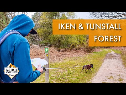
Iken & Tunstall Forest || Firepot Dehydrated Meal Review #Review #Drone

Join us on a near 8 mile circular walk, starting at Iken, going through Tunstall Forest, passing by the famous Snape Maltings ...

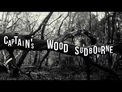
Captain's Wood Sudbourne

Captain's Wood is an piece of Suffolk's ancient woodland history and a wonderfully peaceful place to visit. As such I was ...

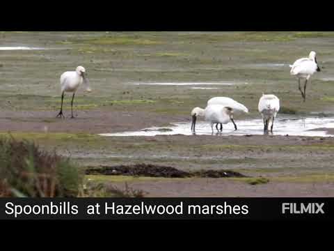
spoonbills Suffolk wildlife trust hazlewood marshes

I've never seen so many spoonbills in one place.

Nearby Amenities

Located within 500m of 52.147778,1.5491247
Source: PGS
Lat/Long: 52.1514303/1.550434
Source: PGS
Lat/Long: 52.1520918/1.5494075
Source: PGS
Lat/Long: 52.1522462/1.5490356
The data included in this document is from www.openstreetmap.org. The data is made available under ODbL.

Have you been to Redland's Covert?

Leave your review of Redland's Covert below (or comments, questions and feedback).