Foxburrow Belt
Wood, Forest in Norfolk Broadland
England
Foxburrow Belt
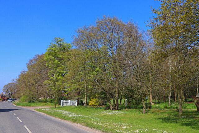
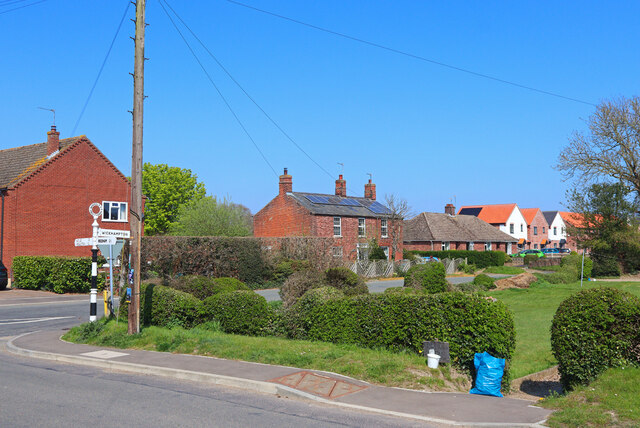
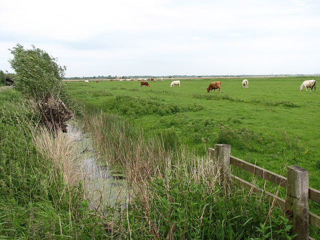
Foxburrow Belt is a picturesque woodland area located in Norfolk, England. Covering a vast area of around 500 hectares, it is known for its dense forest, diverse wildlife, and tranquil surroundings. The belt is situated near the village of Foxburrow, and is easily accessible via well-maintained footpaths and trails.
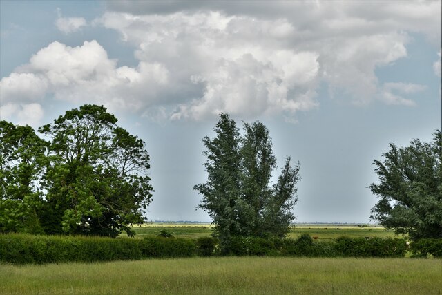
The wood in Foxburrow Belt consists primarily of broadleaf trees, such as oak, beech, and birch, which create a stunning canopy during the warmer months. The forest floor is adorned with a variety of flora, including bluebells, wild garlic, and ferns, adding to the area's natural beauty.
This woodland is a haven for wildlife enthusiasts, as it is home to an array of species. Visitors may catch glimpses of deer, foxes, badgers, and rabbits, among other mammals. A diverse range of bird species can also be spotted, including woodpeckers, owls, and various songbirds.
Foxburrow Belt offers various recreational activities for visitors to enjoy. Walking and cycling trails wind through the forest, providing opportunities for outdoor enthusiasts to explore the area's natural wonders. Picnic areas and benches are scattered throughout the wood, allowing visitors to relax and soak in the tranquil atmosphere.
The wood is managed by local conservation organizations, ensuring the preservation of its natural ecosystem. Educational programs and guided tours are often available, providing visitors with the opportunity to learn more about the woodland and its inhabitants.
Overall, Foxburrow Belt is a haven of natural beauty, offering a serene escape for nature lovers and a thriving habitat for a diverse range of wildlife.
If you have any feedback on the listing, please let us know in the comments section below.
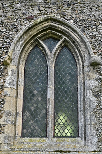
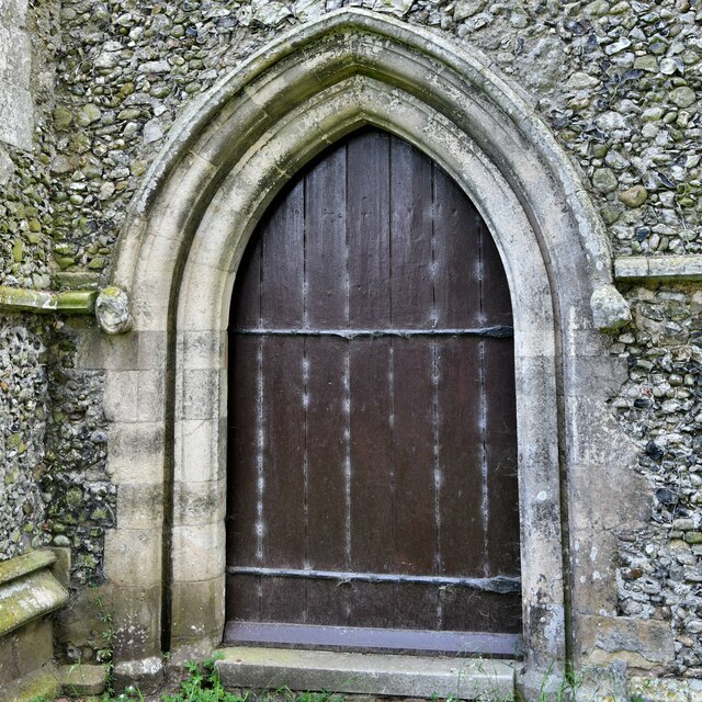
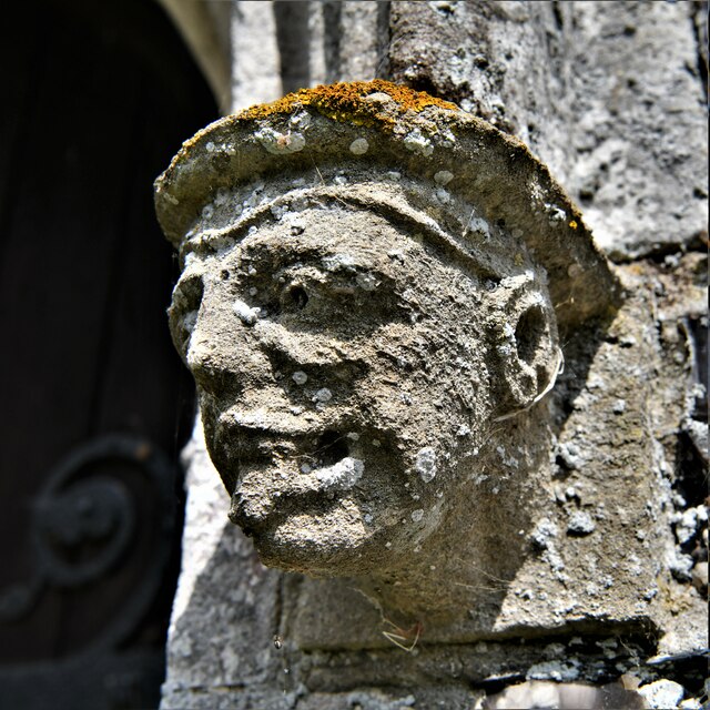
Foxburrow Belt Images
Images are sourced within 2km of 52.58351/1.5792371 or Grid Reference TG4204. Thanks to Geograph Open Source API. All images are credited.

Foxburrow Belt is located at Grid Ref: TG4204 (Lat: 52.58351, Lng: 1.5792371)
Administrative County: Norfolk
District: Broadland
Police Authority: Norfolk
What 3 Words
///snows.horses.daydream. Near Reedham, Norfolk
Nearby Locations
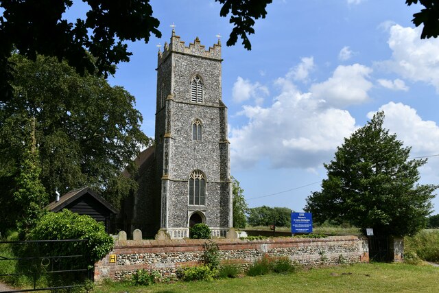
Related Wikis

Freethorpe
Freethorpe is a village and civil parish in the English of Norfolk. The village is located 7.2 miles (11.6 km) south-west of Great Yarmouth and 11 miles...

Reedham railway station (Norfolk)
Reedham railway station is on the Wherry Lines in the East of England, serving the village of Reedham, Norfolk. It is 12 miles 13 chains (19.6 km) down...

Mutton's Mill
Mutton's Mill (also known as Manor House Mill) is a windpump located on the Halvergate Marshes in the detached parish of Freethorpe within The Broads in...
Halvergate Marshes
The Halvergate Marshes are an area of grazing marsh in the east of the English county of Norfolk. They form part of the area of The Broads and lie between...
Have you been to Foxburrow Belt?
Leave your review of Foxburrow Belt below (or comments, questions and feedback).