Fuller's End
Settlement in Essex Uttlesford
England
Fuller's End
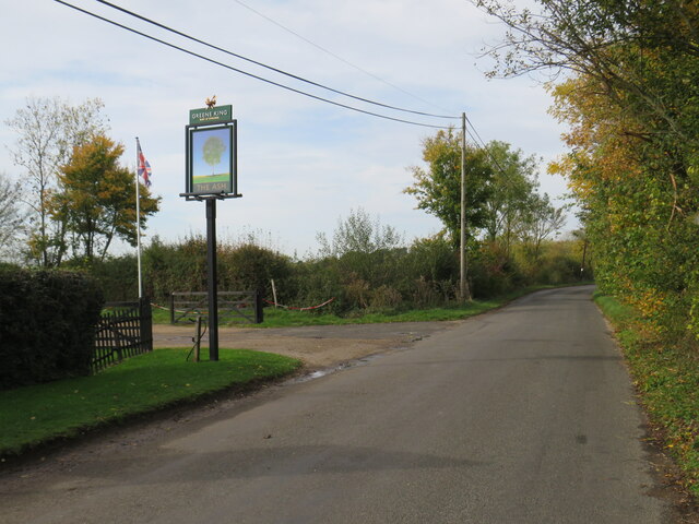
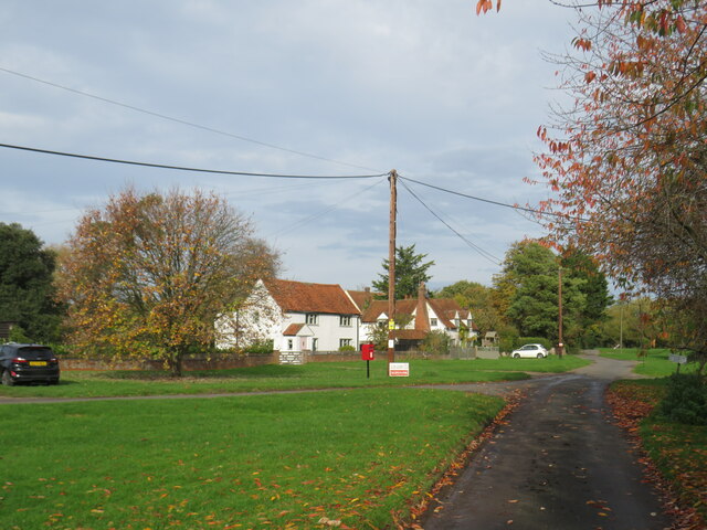
Fuller's End is a small village located in the county of Essex, in the eastern part of England. Situated about 40 miles northeast of London, the village falls within the district of Uttlesford. With a population of around 500 residents, Fuller's End is known for its tranquil and picturesque countryside setting.
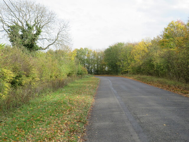
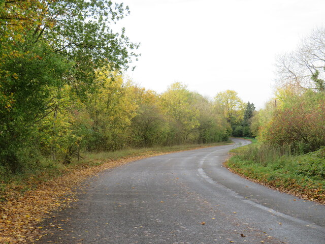
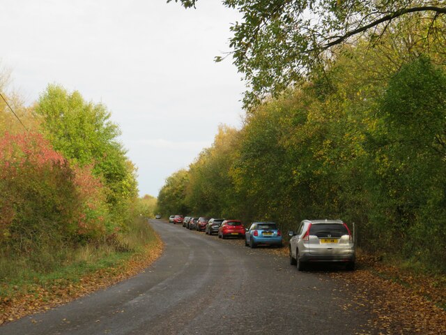
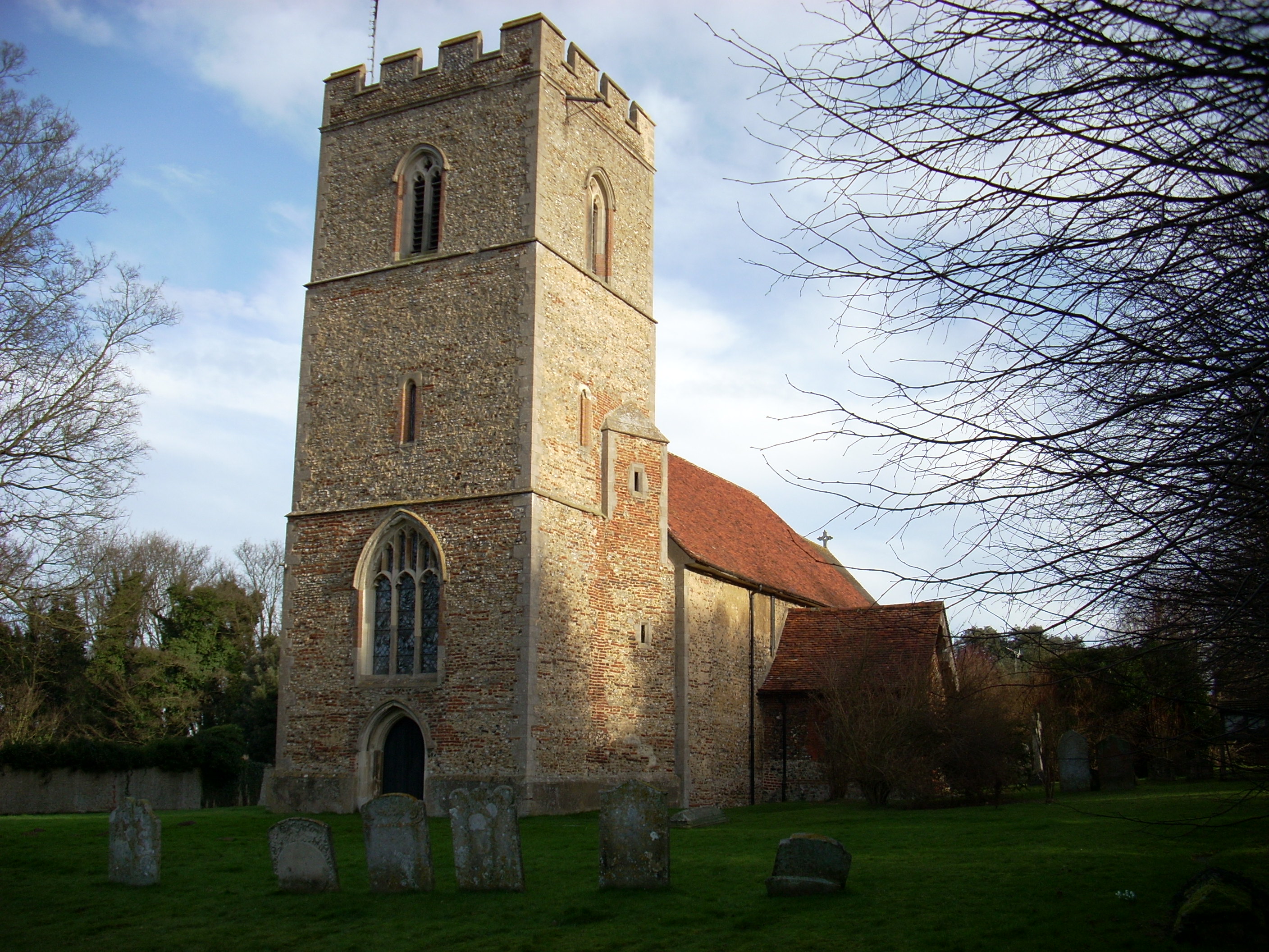
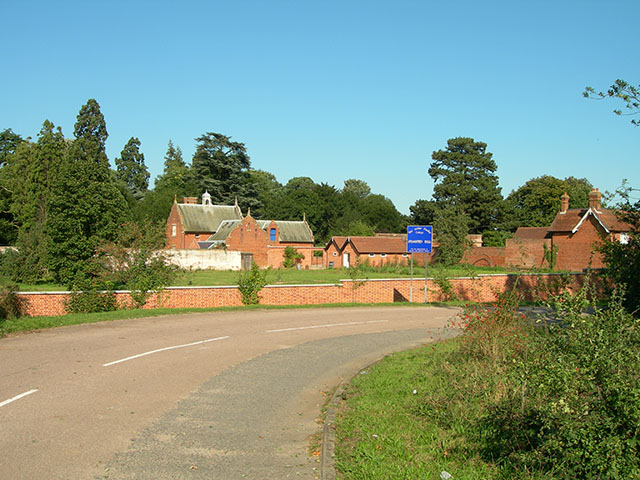
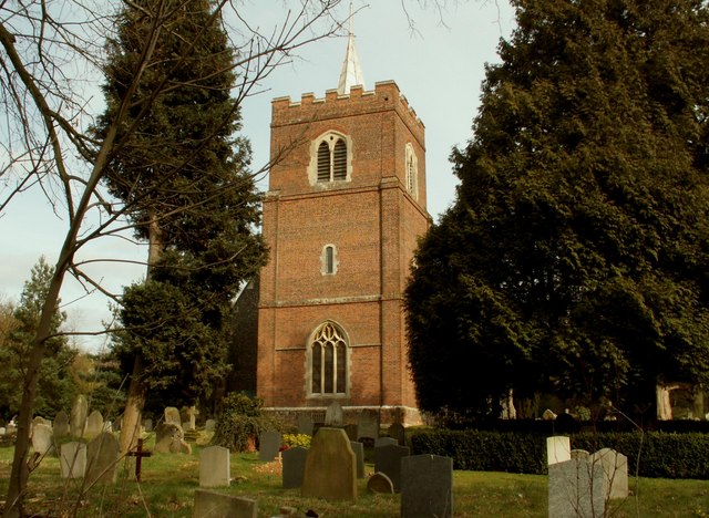
The village is characterized by a collection of charming cottages, many of which date back several centuries, giving it a distinct historic feel. The surrounding landscape is dominated by rolling green fields, dotted with patches of woodland, creating a serene and idyllic atmosphere. The village is also home to a small church, which adds to the traditional charm of the area.
Despite its rural ambiance, Fuller's End offers convenient access to nearby amenities. The larger town of Saffron Walden is just a short drive away, providing residents with a range of shops, supermarkets, and other essential services. Additionally, the city of Cambridge is within easy reach, offering further cultural, educational, and recreational opportunities.
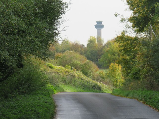
The village benefits from its proximity to the countryside, making it an excellent location for outdoor activities such as hiking, cycling, and horseback riding. The surrounding area also boasts several nature reserves and parks, providing opportunities for wildlife observation and nature exploration.
Fuller's End, with its peaceful atmosphere, picturesque surroundings, and convenient access to nearby towns and cities, offers residents a tranquil escape from the hustle and bustle of urban life.
If you have any feedback on the listing, please let us know in the comments section below.
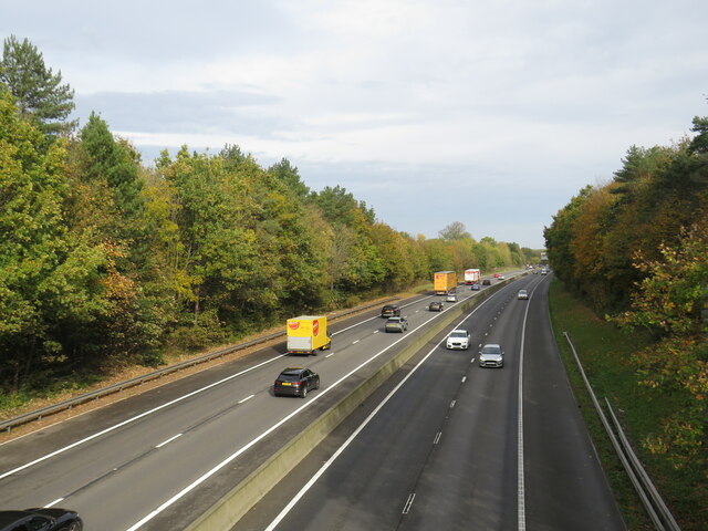
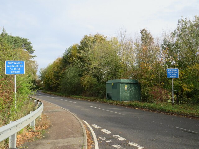
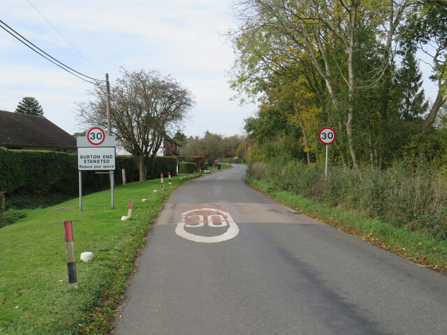
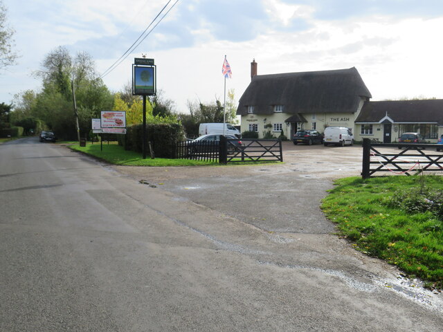
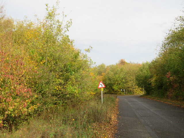
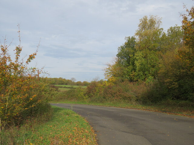
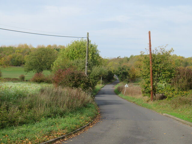
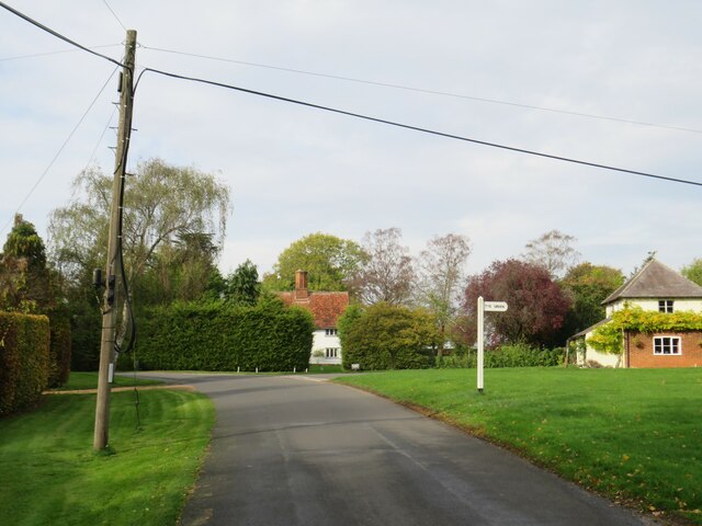
Fuller's End Images
Images are sourced within 2km of 51.907745/0.230071 or Grid Reference TL5325. Thanks to Geograph Open Source API. All images are credited.


Fuller's End is located at Grid Ref: TL5325 (Lat: 51.907745, Lng: 0.230071)
Administrative County: Essex
District: Uttlesford
Police Authority: Essex
What 3 Words
///amphibian.chain.messaging. Near Elsenham, Essex
Nearby Locations
Related Wikis

Stansted Rural District
Stansted was a rural district in Essex, England from 1894 (1894) to 1934 (1934). It was created under the Local Government Act 1894 from the part of the...
Elsenham
Elsenham is a village and civil parish in north-west Essex in eastern England. Its neighbouring settlements include Bishop's Stortford, Saffron Walden...
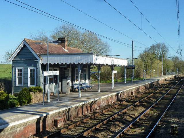
Elsenham railway station
Elsenham railway station is found on the West Anglia Main Line, serving the village of Elsenham in Essex, England. It is 35 miles 45 chains (57.2 km) down...

Aubrey Buxton Nature Reserve
Aubrey Buxton Nature Reserve is a 9.7-hectare (24-acre) nature reserve west of Elsenham in Essex. It was donated to the Essex Wildlife Trust by Aubrey...
Stansted Hall
Stansted or Steanstead Hall is located in Stansted Mountfitchet, Essex, East of England, United Kingdom. It was the country seat of the Earls of Essex...

Arthur Findlay College
Arthur Findlay College is a college of Spiritualism and psychic sciences at Stansted Hall in Stansted Mountfitchet, Essex, England. Stansted Hall was built...

Ugley Green
Ugley Green is a small village in the district of Uttlesford in Essex, England. It is approximately 6 miles (10 km) north-east from Bishops Stortford,...
St Mary the Virgin's Church, Stansted Mountfitchet
St Mary the Virgin's Church is a redundant Anglican church near the village of Stansted Mountfitchet, Essex, England. It is recorded in the National Heritage...
Nearby Amenities
Located within 500m of 51.907745,0.230071Have you been to Fuller's End?
Leave your review of Fuller's End below (or comments, questions and feedback).