Burrell's Covert
Wood, Forest in Suffolk East Suffolk
England
Burrell's Covert
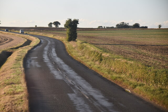
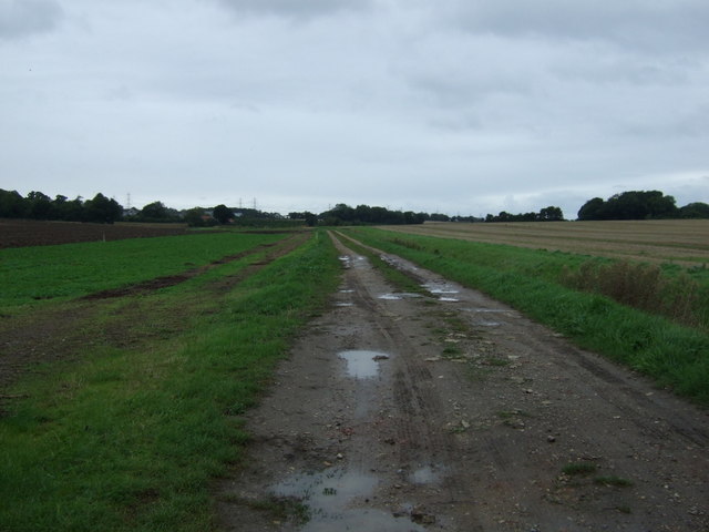
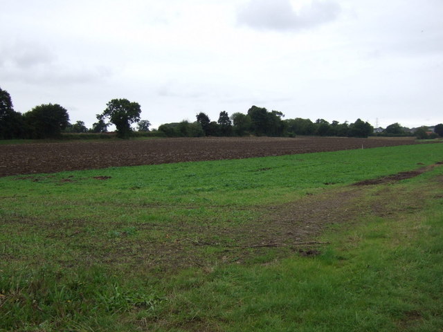
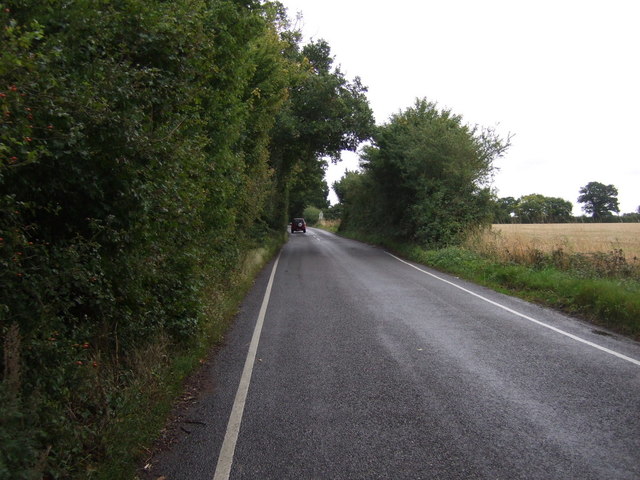
Burrell's Covert is a charming woodland area nestled in the county of Suffolk, England. Located near the village of Burrell's, this forested region is known for its natural beauty and tranquil atmosphere. The covert covers an approximate area of 200 acres, providing ample space for visitors to explore and immerse themselves in the surrounding wildlife.
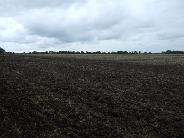
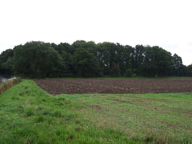
The woodland is predominantly composed of deciduous trees, including oak, beech, and birch, which create a diverse and vibrant ecosystem. The canopy of foliage provides shelter and a habitat for a variety of bird species, such as woodpeckers, owls, and warblers. The forest floor is adorned with a carpet of wildflowers, adding to the area's picturesque charm.
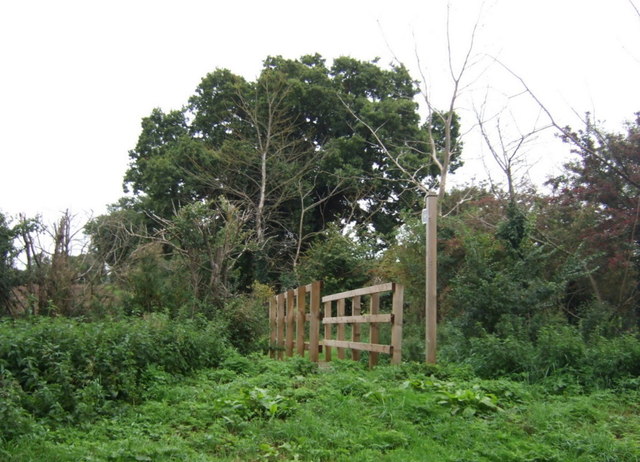
Burrell's Covert is a popular destination for nature enthusiasts, hikers, and photographers who are drawn to its idyllic scenery and peaceful ambience. The forest offers a network of well-maintained footpaths, allowing visitors to explore the area at their own pace. The trails wind through the woods, leading to hidden glades, clearings, and serene ponds, where visitors can enjoy a picnic or simply relax amidst the natural surroundings.
The covert is also home to a diverse range of wildlife. Roe deer, foxes, badgers, and squirrels are just a few of the creatures that can be spotted in the area. Birdwatchers may be lucky enough to catch a glimpse of rare species such as the lesser spotted woodpecker or the nightingale.
Overall, Burrell's Covert offers a haven of tranquility for those seeking an escape from the hustle and bustle of everyday life. Whether it be for a leisurely stroll, wildlife observation, or simply to immerse oneself in the beauty of nature, this woodland retreat is sure to leave a lasting impression on all who visit.
If you have any feedback on the listing, please let us know in the comments section below.
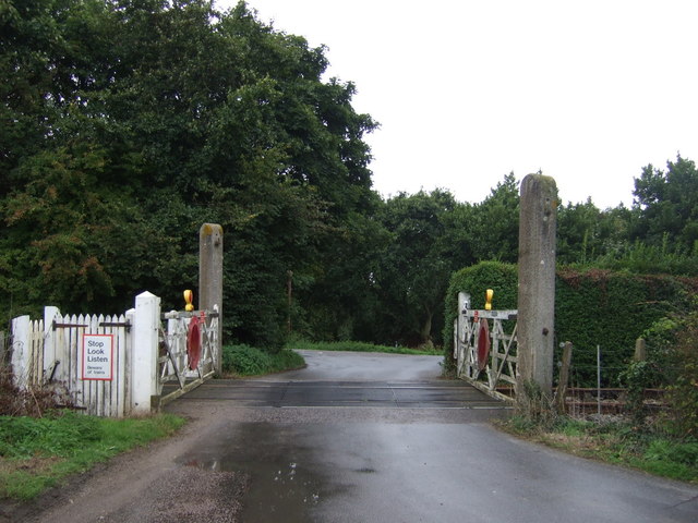
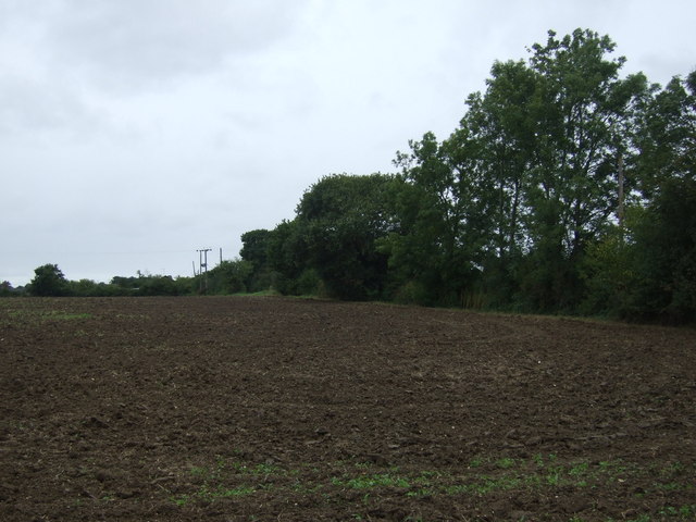
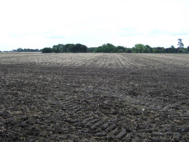
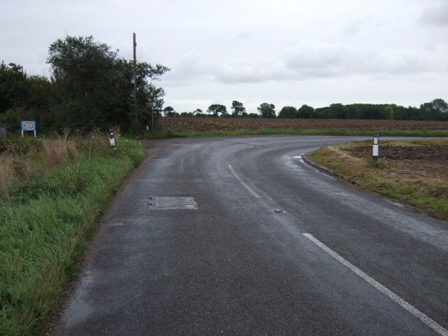
Burrell's Covert Images
Images are sourced within 2km of 52.211414/1.5321193 or Grid Reference TM4162. Thanks to Geograph Open Source API. All images are credited.


Burrell's Covert is located at Grid Ref: TM4162 (Lat: 52.211414, Lng: 1.5321193)
Administrative County: Suffolk
District: East Suffolk
Police Authority: Suffolk
What 3 Words
///jingles.slang.twinkling. Near Saxmundham, Suffolk
Nearby Locations
Related Wikis
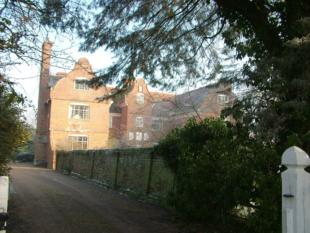
Buxlow Manor
Buxlow Manor is a grade II* listed house in Knodishall, Suffolk, England. It is built of red brick and has been dated to 1678 from the markings on the...
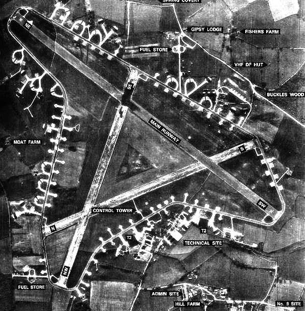
RAF Leiston
Royal Air Force Leiston or more simply RAF Leiston is a former Royal Air Force station located 1.5 km (0.93 mi) northwest of Leiston and 1 km (0.62 mi...
Knodishall
Knodishall, a village in Suffolk, England, lies 3.5 miles (6 km) south-east of Saxmundham, 1 mile (2 km) south-west of Leiston, and 3 miles from the coast...

Friston
Friston is a village and civil parish in the East Suffolk district, in the county of Suffolk, England. It is 3 miles (5 km) southeast of Saxmundham, its...

East Suffolk District
East Suffolk is a local government district in Suffolk, England, which was established on 1 April 2019, following the merger of the existing Suffolk Coastal...
Sternfield
Sternfield is a village in Suffolk, England. It is located 1 mile (2 km) south of Saxmundham, its post town. The village is very small and irregularly...
Summerhill School
Summerhill School is an independent (i.e. fee-charging) boarding school in Leiston, Suffolk, England. It was founded in 1921 by Alexander Sutherland Neill...

Leiston F.C.
Leiston Football Club is a football club based in Leiston, Suffolk, England. They are currently members of the Southern League Premier Division Central...
Nearby Amenities
Located within 500m of 52.211414,1.5321193Have you been to Burrell's Covert?
Leave your review of Burrell's Covert below (or comments, questions and feedback).