Backhouse Plantation
Wood, Forest in Suffolk East Suffolk
England
Backhouse Plantation

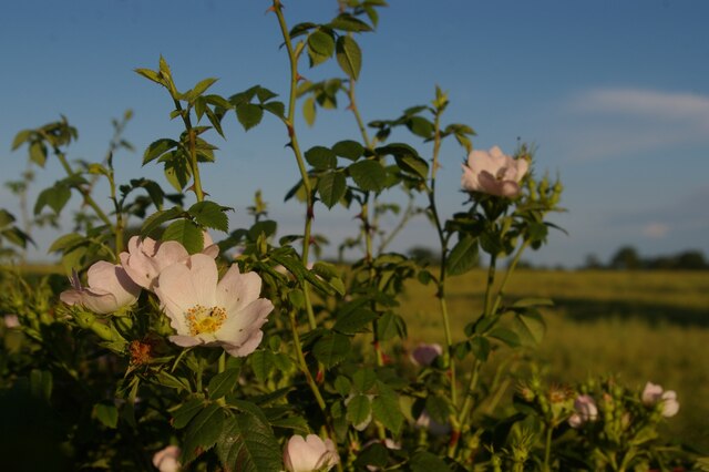
Backhouse Plantation, located in Suffolk, is a picturesque woodland area known for its natural beauty and rich history. The plantation covers a vast area of land, comprising dense forests, tranquil ponds, and diverse wildlife.
The woodland area of Backhouse Plantation is characterized by tall, mature trees, including oak, beech, and pine, creating a serene and peaceful atmosphere. The forest floor is covered in a lush carpet of moss and ferns, adding to the enchanting ambiance. Visitors can explore the woodland through a network of well-maintained trails, which offer opportunities for hiking, birdwatching, and nature photography.
One of the highlights of Backhouse Plantation is its collection of ancient oak trees, some of which are estimated to be over 400 years old. These majestic giants stand as a testament to the area's long history and provide habitat for numerous bird species and other wildlife.
The plantation also features several ponds, which are home to various aquatic creatures, including ducks, frogs, and fish. These ponds offer a tranquil setting for fishing or simply enjoying the peaceful ambiance.
Backhouse Plantation has a rich historical significance as well. It was once a thriving tobacco plantation during the colonial era and later served as a refuge for escaped slaves during the Underground Railroad. The plantation has preserved some of its historic buildings, including a restored farmhouse and barn, which provide a glimpse into the past.
Overall, Backhouse Plantation in Suffolk is a haven for nature enthusiasts and history buffs alike. Its natural beauty, diverse wildlife, and rich history make it a must-visit destination for anyone seeking a peaceful and educational experience in the heart of nature.
If you have any feedback on the listing, please let us know in the comments section below.
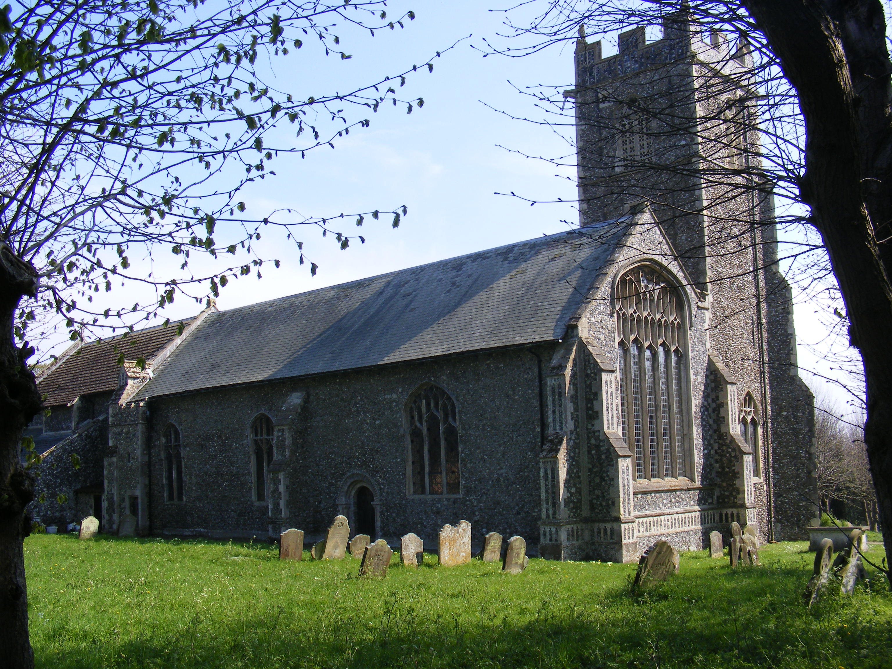
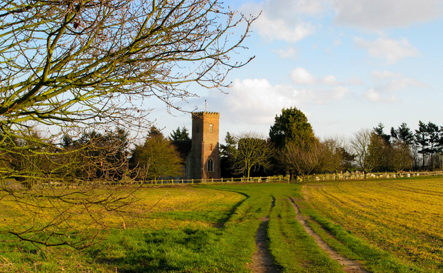
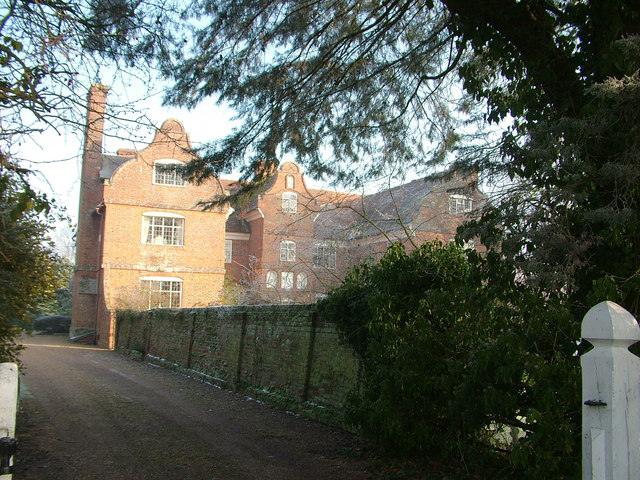
Backhouse Plantation Images
Images are sourced within 2km of 52.237023/1.5260379 or Grid Reference TM4065. Thanks to Geograph Open Source API. All images are credited.


Backhouse Plantation is located at Grid Ref: TM4065 (Lat: 52.237023, Lng: 1.5260379)
Administrative County: Suffolk
District: East Suffolk
Police Authority: Suffolk
What 3 Words
///alley.beaks.salad. Near Saxmundham, Suffolk
Nearby Locations
Related Wikis
Kelsale
Kelsale is a village and former civil parish, now in the parish of Kelsale cum Carlton, in the East Suffolk district, in the county of Suffolk, England...
Kelsale cum Carlton
Kelsale cum Carlton is a civil parish in the English county of Suffolk. Situated to the north of Saxmundham, Kelsale cum Carlton is one of the largest...
Buxlow Manor
Buxlow Manor is a grade II* listed house in Knodishall, Suffolk, England. It is built of red brick and has been dated to 1678 from the markings on the...
Carlton, Suffolk
Carlton is a village and former civil parish, now in the parish of Kelsale cum Carlton, in the East Suffolk district, in the county of Suffolk, England...
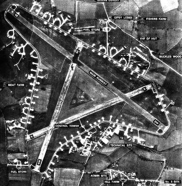
RAF Leiston
Royal Air Force Leiston or more simply RAF Leiston is a former Royal Air Force station located 1.5 km (0.93 mi) northwest of Leiston and 1 km (0.62 mi...
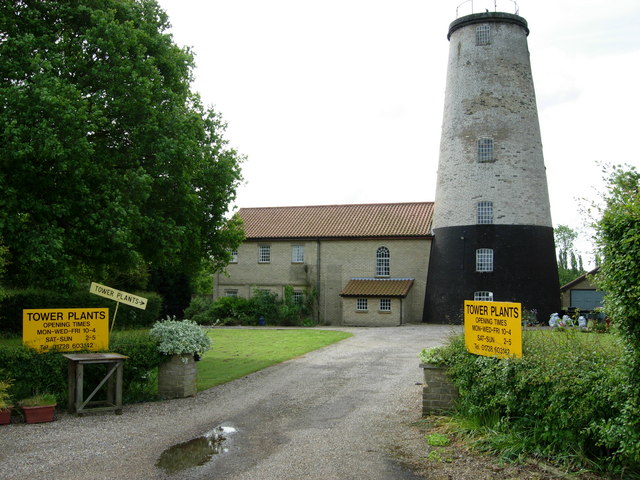
Skoulding's Mill
Skoulding's Mill is a Grade II listed tower mill at Kelsale, Suffolk, England which has been converted to residential accommodation. == History == Skoulding...

Theberton
Theberton is a village in Suffolk, England. It is located 4 miles (6 km) north-east of Saxmundham, and 3 miles (5 km) miles north of Leiston, its post...

Middleton, Suffolk
Middleton is a village in the east of the English county of Suffolk. It is located approximately 3 miles (5 km) north-west of Leiston, 5 miles (8 km)...
Nearby Amenities
Located within 500m of 52.237023,1.5260379Have you been to Backhouse Plantation?
Leave your review of Backhouse Plantation below (or comments, questions and feedback).