Hell Carr
Wood, Forest in Norfolk Broadland
England
Hell Carr
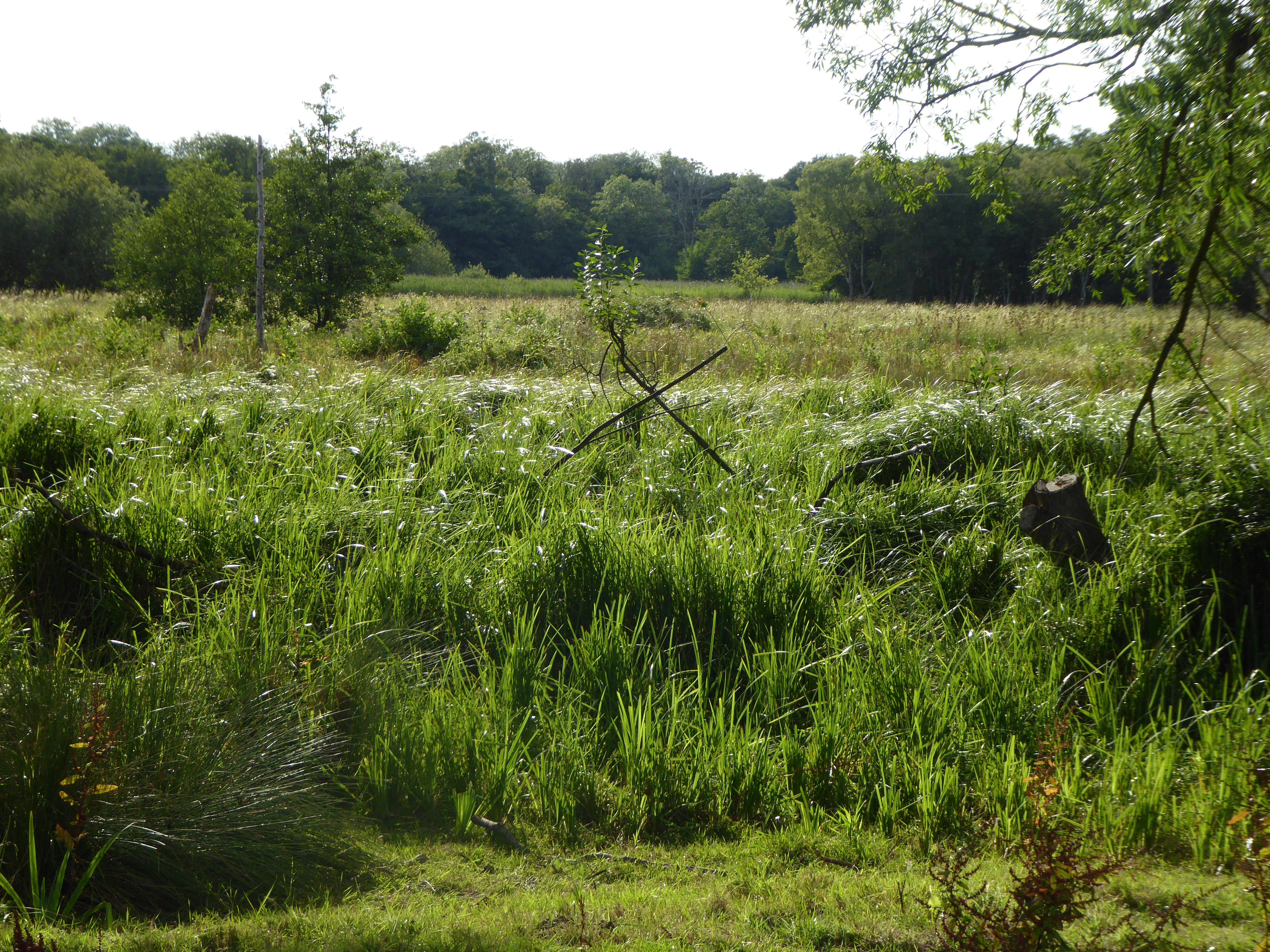
Hell Carr is a small, picturesque woodland area located in Norfolk, England. Situated near the village of Wood, this forested region spans approximately 200 acres and boasts an abundance of natural beauty. The name Hell Carr, although intriguing, does not reflect any sinister connotations but rather derives from the Old English word "hell," meaning "a hidden place" or "a sheltered spot."
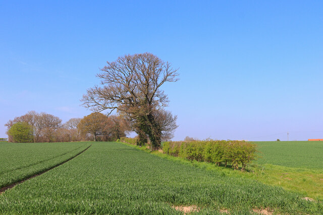
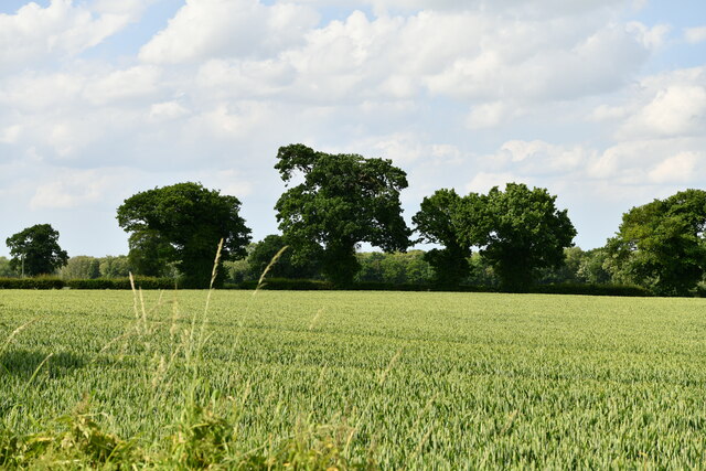
The woodland is primarily composed of native trees such as oak, beech, and birch, creating a diverse and vibrant ecosystem. These trees provide a habitat for a wide range of wildlife, including various bird species, small mammals, and insects. The forest floor is carpeted with a rich assortment of wildflowers, ferns, and moss, adding to the enchanting ambiance of the area.
Hell Carr offers visitors a tranquil escape from the hustle and bustle of everyday life. It features several well-marked walking trails, allowing nature enthusiasts to explore the forest at their own pace. The trails wind through the trees, offering glimpses of serene ponds and babbling brooks along the way. The peaceful atmosphere makes it an ideal location for picnics, birdwatching, or simply immersing oneself in the wonders of nature.
Managed by the local authorities, Hell Carr is also dedicated to conservation efforts. The woodland is carefully maintained to preserve its natural beauty and protect the diverse range of flora and fauna that call it home. Educational programs and guided tours are occasionally organized, providing visitors with the opportunity to learn more about the forest's ecology and history.
In conclusion, Hell Carr, Norfolk is a stunning woodland area that offers a haven of tranquility and natural beauty to all who visit. With its diverse ecosystem and well-maintained trails, it is a perfect destination for nature enthusiasts and those seeking a peaceful retreat amidst the wonders of the English countryside.
If you have any feedback on the listing, please let us know in the comments section below.
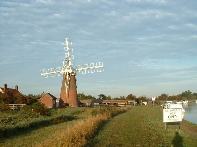
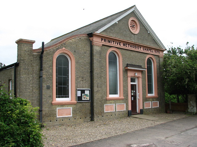
Hell Carr Images
Images are sourced within 2km of 52.613685/1.5530192 or Grid Reference TG4007. Thanks to Geograph Open Source API. All images are credited.


Hell Carr is located at Grid Ref: TG4007 (Lat: 52.613685, Lng: 1.5530192)
Administrative County: Norfolk
District: Broadland
Police Authority: Norfolk
What 3 Words
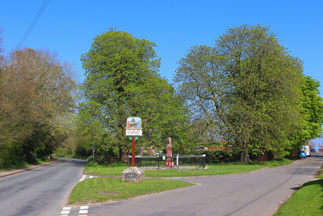
///ranked.intrigued.champions. Near Acle, Norfolk
Nearby Locations
Related Wikis

St Mary's Church, Moulton
St Mary's Church is a redundant Anglican round-tower church near the village of Moulton St Mary, Norfolk, England. It is recorded in the National Heritage...
Tunstall, Norfolk
Tunstall is a village and former civil parish, now in the parish of Halvergate, in the Broadland district of Norfolk, England. It lies some 14 miles (22...
Decoy Carr, Acle
Decoy Carr, Acle is a 56-hectare (140-acre) biological Site of Special Scientific Interest south of Acle in Norfolk. It is part of the Broadland Ramsar...

Blofield and Flegg Rural District
Blofield and East and West Flegg Rural Districts were adjacent rural districts in Norfolk, England from 1894 to 1935.They were formed under the Local Government...
Halvergate
Halvergate is a village and civil parish in the English county of Norfolk, north of Reedham, between the Rivers Bure and Yare, within The Broads. To the...

Damgate Marshes, Acle
Damgate Marshes, Acle is a 64.7-hectare (160-acre) biological Site of Special Scientific Interest between Norwich and Great Yarmouth in Norfolk. It is...

Freethorpe
Freethorpe is a village and civil parish in the English of Norfolk. The village is located 7.2 miles (11.6 km) south-west of Great Yarmouth and 11 miles...
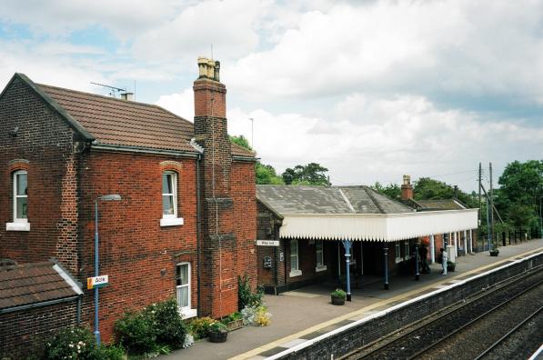
Acle railway station
Acle railway station is on the Wherry Lines in the east of England, serving the town of Acle, Norfolk. It is 10 miles 34 chains (16.8 km) down the line...
Nearby Amenities
Located within 500m of 52.613685,1.5530192Have you been to Hell Carr?
Leave your review of Hell Carr below (or comments, questions and feedback).