Brick Kiln Belt
Wood, Forest in Suffolk East Suffolk
England
Brick Kiln Belt
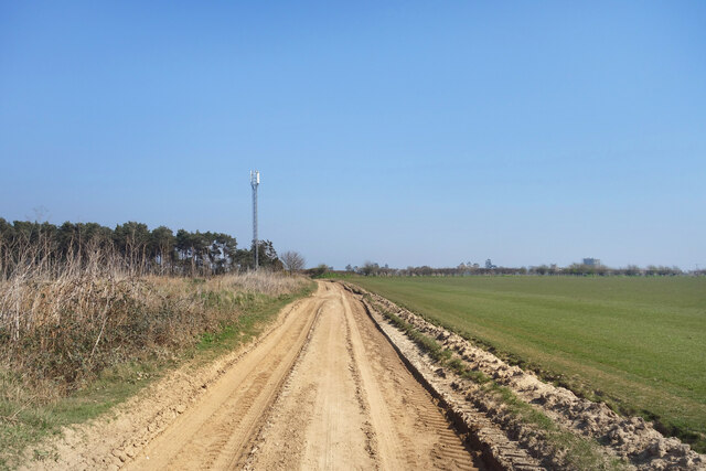
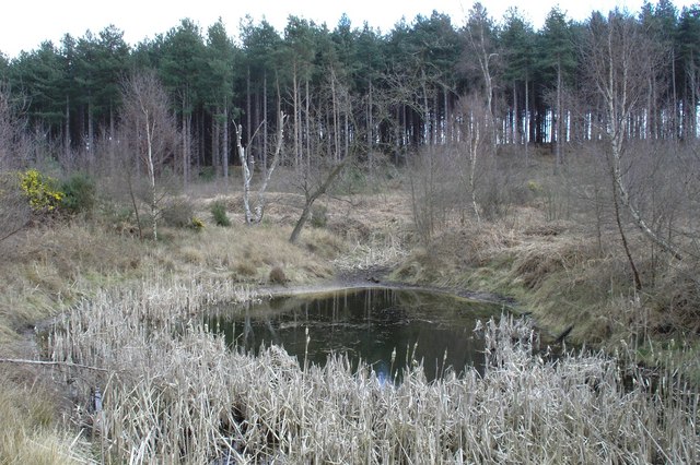
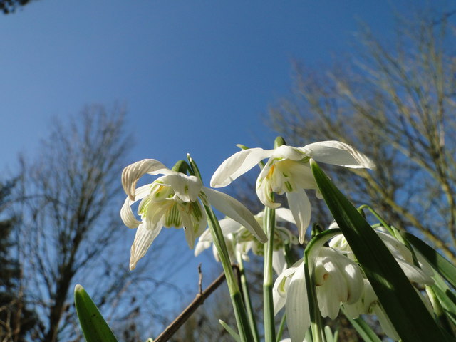
The Brick Kiln Belt, located in Suffolk, England, is a picturesque area renowned for its dense woodlands and forests. Stretching for several miles, this verdant belt is characterized by a rich diversity of trees, including oak, beech, and birch, creating a lush and vibrant landscape.
The name Brick Kiln Belt originates from the historical presence of brick kilns in the area. In the past, the region was known for its brickmaking industry, utilizing the abundant clay and wood resources found within the belt. Although the brick kilns are no longer operational, the name has endured, serving as a reminder of the area's industrial past.
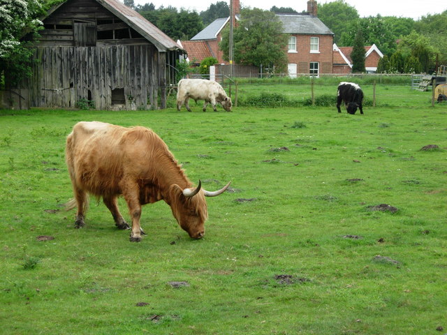
Today, the Brick Kiln Belt is primarily valued for its natural beauty and ecological significance. The dense woodland provides a haven for a wide array of flora and fauna, making it a popular destination for nature enthusiasts and wildlife photographers. The forest floor is carpeted with a variety of wildflowers, while the trees provide shelter for numerous bird species and small mammals.
In addition to its natural attractions, the Brick Kiln Belt also offers recreational opportunities for visitors. There are several walking trails that wind through the forest, allowing visitors to explore its hidden gems and enjoy the tranquility of the surroundings. The area is also home to a number of picnic spots, providing the perfect setting for a leisurely lunch amidst nature.
Overall, the Brick Kiln Belt in Suffolk is a captivating destination that showcases the beauty of England's woodlands and forests. Its historical significance and natural charm make it an ideal location for both history enthusiasts and nature lovers alike.
If you have any feedback on the listing, please let us know in the comments section below.
Brick Kiln Belt Images
Images are sourced within 2km of 52.110776/1.5088127 or Grid Reference TM4051. Thanks to Geograph Open Source API. All images are credited.


Brick Kiln Belt is located at Grid Ref: TM4051 (Lat: 52.110776, Lng: 1.5088127)
Administrative County: Suffolk
District: East Suffolk
Police Authority: Suffolk
What 3 Words
///reactions.stream.debating. Near Rendlesham, Suffolk
Nearby Locations
Related Wikis

Sudbourne Park Pit
Sudbourne Park Pit is a 1.1-hectare (2.7-acre) geological Site of Special Scientific Interest between Orford and Chillesford in Suffolk. It is a Geological...

Alde–Ore Estuary
Alde–Ore Estuary is a 2,534 hectare biological and geological Site of Special Scientific Interest which stretches along the Suffolk coast between Aldeburgh...

Sudbourne
Sudbourne is a village and civil parish in Suffolk, England, located approximately 2 miles (3 km) north of Orford. All Saints' Church dates from the 14th...
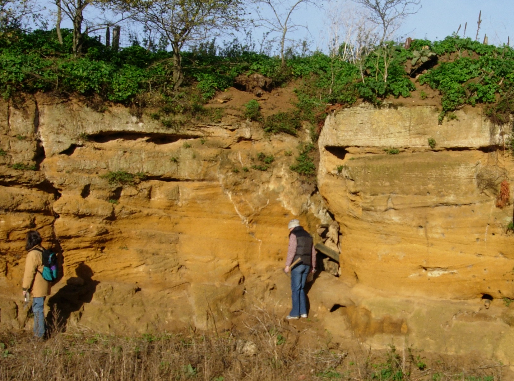
Coralline Crag Formation
The Coralline Crag Formation is a geological formation in England. It is a series of marine deposits found near the North Sea coast of Suffolk and characterised...
Nearby Amenities
Located within 500m of 52.110776,1.5088127Have you been to Brick Kiln Belt?
Leave your review of Brick Kiln Belt below (or comments, questions and feedback).