Fulbeck

Settlement in Lincolnshire South Kesteven

England

Fulbeck

South Heath Lane
South Heath Lane Credit: Alex McGregor

Fulbeck is a small village located in the district of South Kesteven, Lincolnshire, England. Situated approximately 9 miles south of the city of Lincoln, Fulbeck is nestled amidst the picturesque Lincolnshire countryside. The village covers an area of about 3 square miles and has a population of around 600 residents.

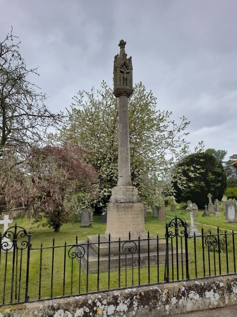
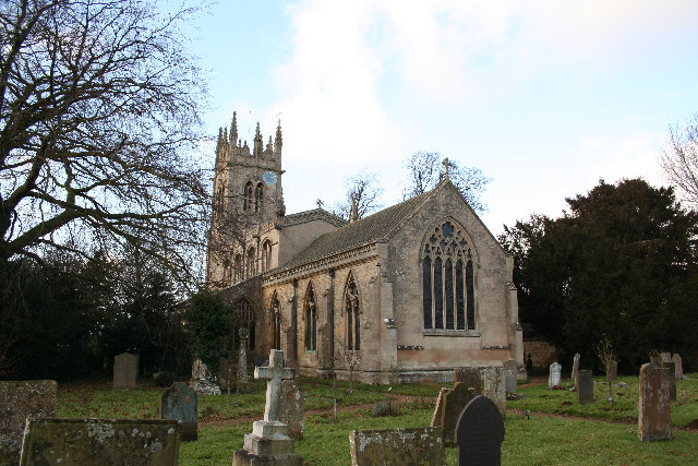
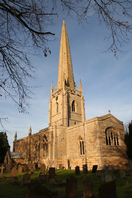
Fulbeck is known for its rich history, dating back to the Roman times. The village has a number of historical landmarks, including St. Nicholas Church, a Grade I listed building that dates back to the 12th century. The church features stunning architecture and is a popular attraction for visitors interested in historical and architectural heritage.

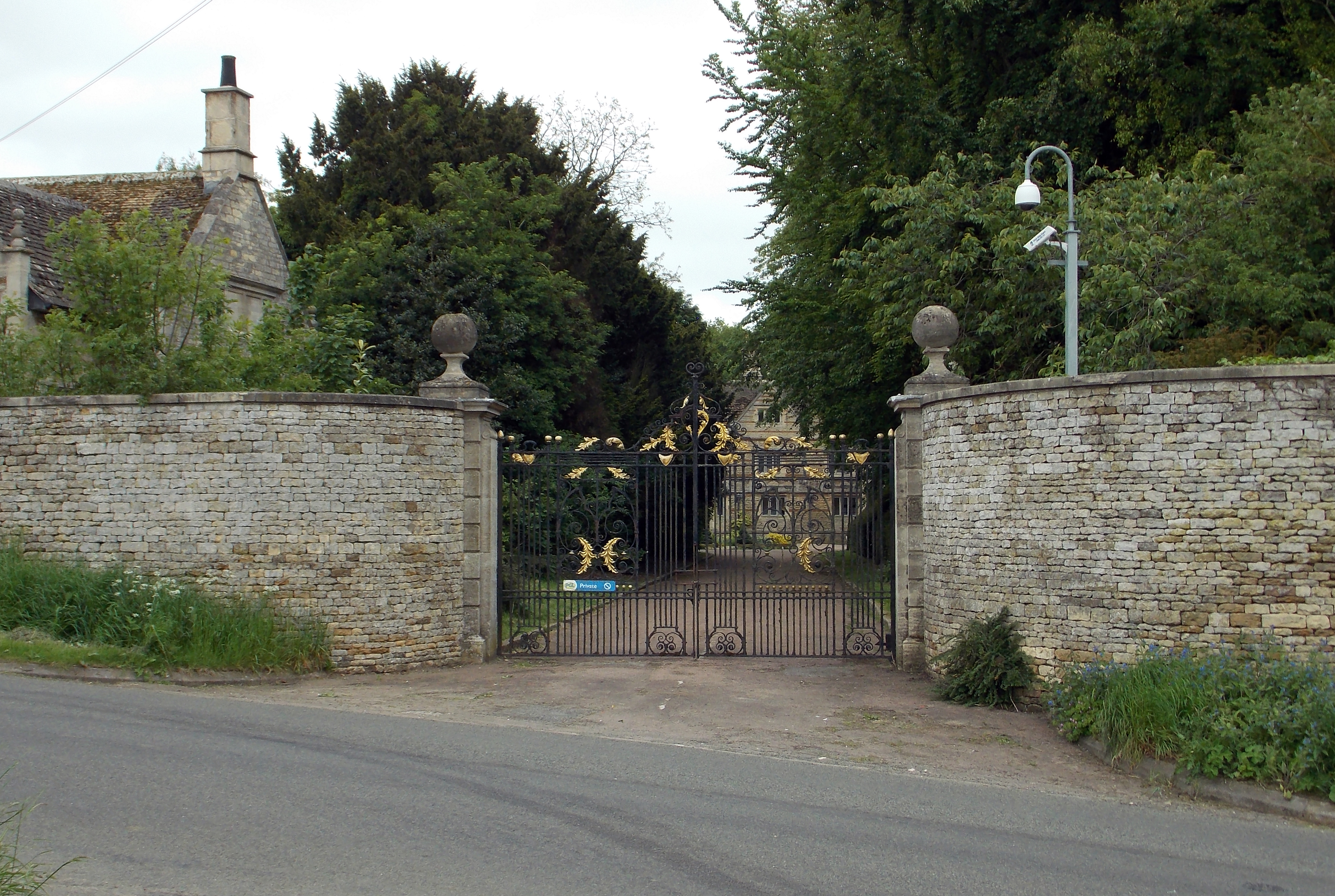
The village is also home to Fulbeck Hall, a beautiful country house that was built in the 17th century. The hall is surrounded by well-manicured gardens and offers a glimpse into the grandeur of the past.

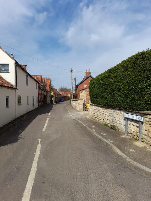
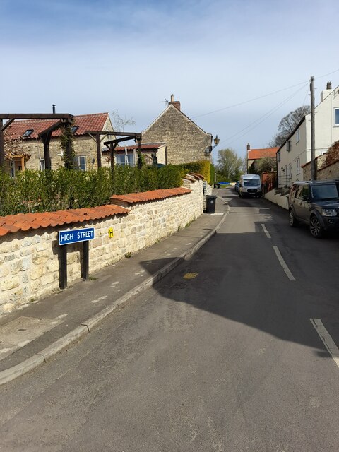
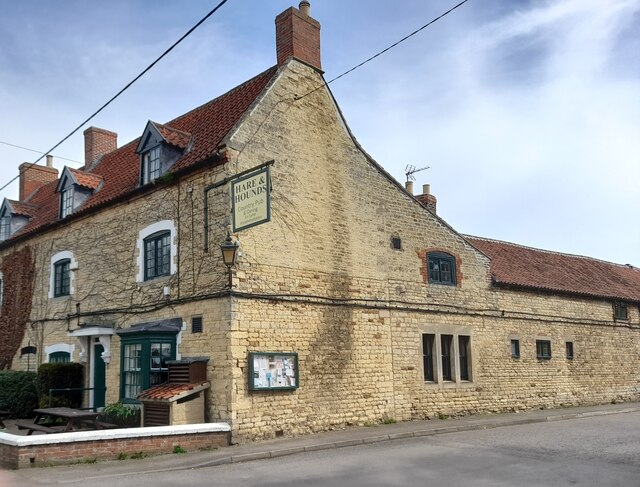
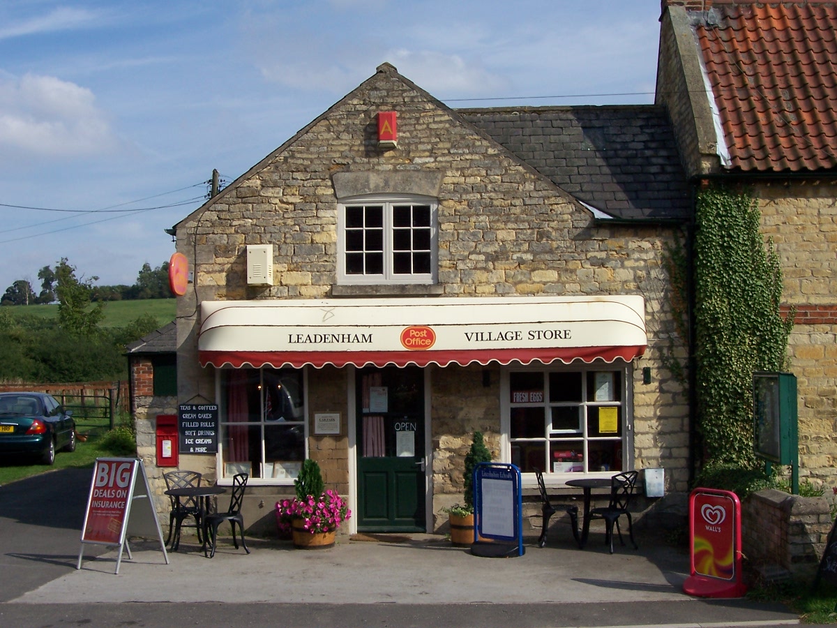
Fulbeck has a thriving community with a range of amenities for residents and visitors. The village has a primary school, a village hall, a post office, and a pub. It also boasts a number of local businesses, including independent shops and a farm shop that sells local produce.

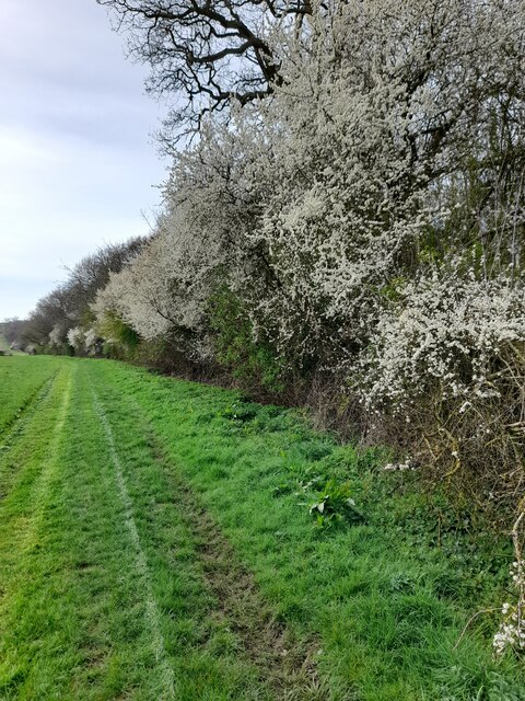
The surrounding countryside provides ample opportunities for outdoor activities, such as walking, cycling, and horse riding. The village is also well-connected, with good road links to nearby towns and cities, making it an ideal location for those who prefer a peaceful rural lifestyle while still having access to urban amenities.

If you have any feedback on the listing, please let us know in the comments section below.
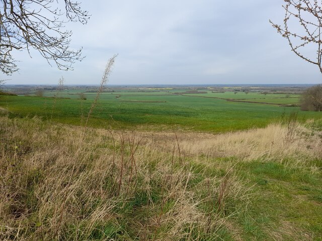
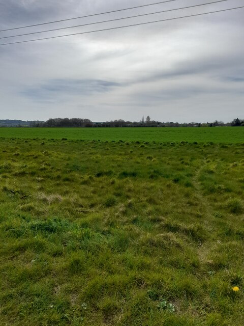
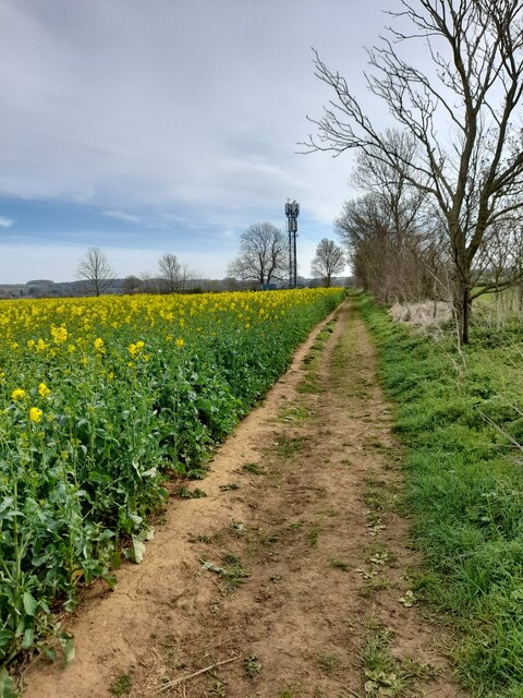
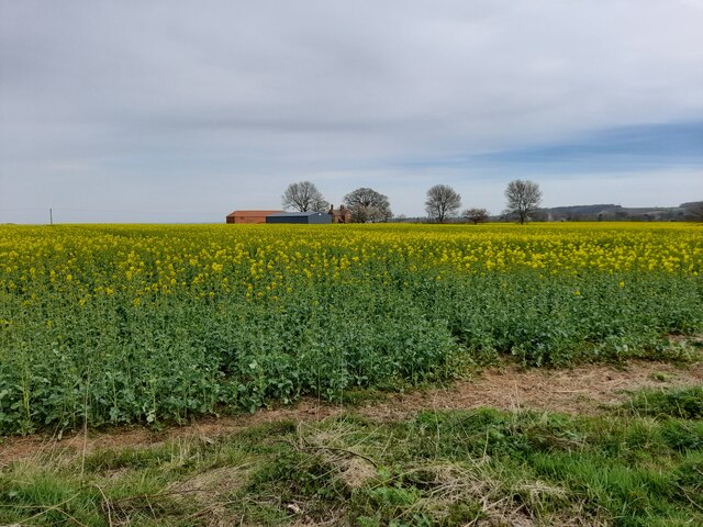
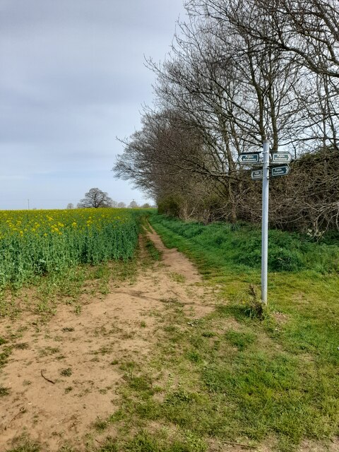
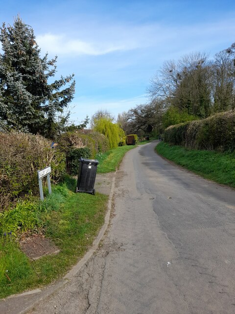
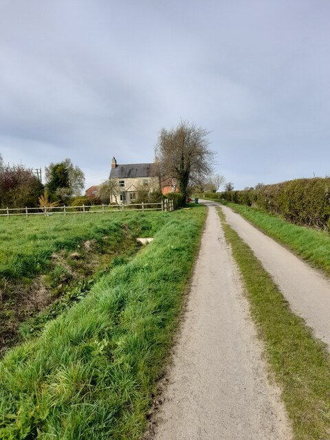
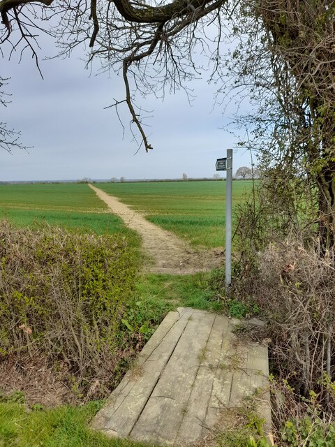
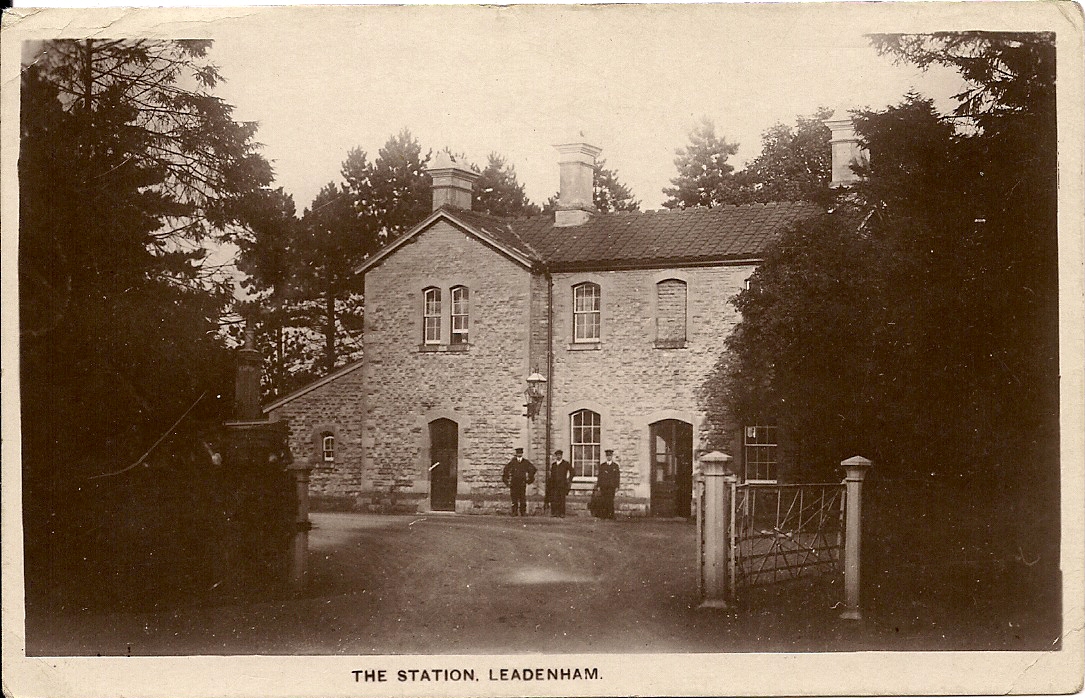
Fulbeck Images

Images are sourced within 2km of 53.041964/-0.587641 or Grid Reference SK9450. Thanks to Geograph Open Source API. All images are credited.

South Heath Lane
South Heath Lane
View from ridge
View from ridge
View across fields
View across fields
Communication mast
Communication mast
Victoria farm
Victoria farm
Public footpath
Public footpath
Road junction
Road junction
Bulby Lane
Bulby Lane
Beck Farm
Beck Farm
Public footpath
Public footpath
Public footpath
Public footpath
Washdyke Lane
Washdyke Lane
High Street
High Street
Hare and Hounds
Hare and Hounds
War memorial
War memorial
Dappled Bridge Just to the left (south) of this disused railway bridge the former Caythorpe station used to stand.  The former station area is now industrial units. The line headed north from here to Lincoln.
Dappled Bridge
Just to the left (south) of this disused railway bridge the former Caythorpe station used to stand. The former station area is now industrial units. The line headed north from here to Lincoln.
Crossroads on the Heath These crossroads lead to Caythorpe Heath to the right and Fulbeck Heath straight on.
Crossroads on the Heath
These crossroads lead to Caythorpe Heath to the right and Fulbeck Heath straight on.
The Ings Not to be confused with Things this path leads up hill to The Ings.
The Ings
Not to be confused with Things this path leads up hill to The Ings.
Show me another place!

Fulbeck is located at Grid Ref: SK9450 (Lat: 53.041964, Lng: -0.587641)

Division: Parts of Kesteven

Administrative County: Lincolnshire

District: South Kesteven

Police Authority: Lincolnshire

What 3 Words

///youths.printer.youthful. Near Caythorpe, Lincolnshire

Nearby Locations

Fulbeck Fulbeck

Related Wikis

Related Videos

Fulbeck Village Walk, English Countryside 4K

https://www.buymeacoffee.com/Daveswalks All support is hugely appreciated and it helps me keep the channel going! No talking ...

Nearby Amenities

Located within 500m of 53.041964,-0.587641
Fulbeck
Place: village
Source: GPS waypoint
Lat/Long: 53.0417943/-0.5874992
Bus Stop
Fulbeck House
Naptan AtcoCode: 270000008569
Naptan Bearing: SW
Naptan CommonName: Fulbeck House
Naptan Indicator: opp
Naptan Landmark: Fulbeck House
Naptan NaptanCode: lingtgpg
Naptan Street: Cliff Road
Naptan Verified: no
Public Transport: platform
Source: naptan_import
Lat/Long: 53.0443605/-0.5855334
Bus Stop
Fulbeck House
Naptan AtcoCode: 270000008570
Naptan Bearing: NE
Naptan CommonName: Fulbeck House
Naptan Indicator: adj
Naptan Landmark: Fulbeck House
Naptan NaptanCode: lingtgpj
Naptan Street: Cliff Road
Naptan Verified: no
Source: naptan_import
Lat/Long: 53.0443227/-0.5856915
Lime Tree Close
Naptan AtcoCode: 270002701084
Naptan Bearing: SE
Naptan BusStopType: CUS
Naptan CommonName: Lime Tree Close
Naptan Indicator: adj
Naptan Landmark: Lime Tree Close
Naptan Street: South Heath Lane
Naptan Verified: no
Source: naptan_import
Lat/Long: 53.0406767/-0.5845132
Lime Tree Close
Naptan AtcoCode: 270002701085
Naptan Bearing: NW
Naptan BusStopType: CUS
Naptan CommonName: Lime Tree Close
Naptan Indicator: opp
Naptan Landmark: Lime Tree Close
Naptan Street: South Heath Lane
Naptan Verified: no
Source: naptan_import
Lat/Long: 53.0405884/-0.5846503
Bus Stop
The Hare & Hounds Inn
Naptan AtcoCode: 2700LFBS0870
Naptan Bearing: S
Naptan CommonName: The Hare & Hounds Inn
Naptan Indicator: opp
Naptan Landmark: The Hare & Hounds Inn
Naptan NaptanCode: linagmwj
Naptan Street: Cliff Road
Naptan Verified: no
Public Transport: platform
Source: naptan_import
Lat/Long: 53.0418917/-0.586144
Bus Stop
The Hare & Hounds Inn
Naptan AtcoCode: 2700LFHHP401
Naptan Bearing: N
Naptan CommonName: The Hare & Hounds Inn
Naptan Indicator: adj
Naptan Landmark: The Hare & Hounds Inn
Naptan NaptanCode: linadmwt
Naptan Street: Cliff Road
Naptan Verified: no
Source: naptan_import
Lat/Long: 53.0419118/-0.5863223
Note: maxspeed change approximate
Lat/Long: 53.0450001/-0.5853264
Cafe
Fulbeck Tea Shop
Addr City: Fulbeck
Addr Housename: Manor Stables
Addr Postcode: NG32 3JN
Addr Street: Lincoln Road
Fhrs Authority: South Kesteven
Fhrs Id: 237882
Fhrs Local Authority Id: 84552
Source: survey
Lat/Long: 53.0410317/-0.5868687
Post Box
Ref: NG32 59
Source: survey
Lat/Long: 53.0415361/-0.586338
Pub
The Hare and Hounds
Addr City: Fulbeck
Addr Postcode: NG32 3JJ
Addr Street: The Green
Fhrs Authority: South Kesteven
Fhrs Id: 237986
Fhrs Local Authority Id: 4605
Source: survey
Wikidata: Q26595543
Lat/Long: 53.0421527/-0.5874427
Note: maxspeed change approximate
Lat/Long: 53.0422183/-0.5862051
Home Farm
Place: farm
Source: Bing
Lat/Long: 53.0447076/-0.5866004
Old Hall Farm
Place: farm
Source: Bing
Lat/Long: 53.0395281/-0.5883234
Sudthorpe
Place: hamlet
Source: Bing
Lat/Long: 53.0380628/-0.5913372
Power: pole
Lat/Long: 53.0423185/-0.5806857
Power: pole
Lat/Long: 53.0406736/-0.5823809
Power: pole
Lat/Long: 53.0415421/-0.5814314
Power: pole
Lat/Long: 53.0413219/-0.583958
Power: pole
Lat/Long: 53.0414444/-0.5825472
Generator Method: photovoltaic
Generator Output Electricity: yes
Generator Source: solar
Generator Type: solar_photovoltaic_panel
Location: roof
Power: generator
Lat/Long: 53.0402039/-0.5894142
Generator Method: photovoltaic
Generator Output Electricity: yes
Generator Source: solar
Generator Type: solar_photovoltaic_panel
Location: roof
Power: generator
Lat/Long: 53.0417899/-0.5901532
Generator Method: photovoltaic
Generator Output Electricity: yes
Generator Source: solar
Generator Type: solar_photovoltaic_panel
Location: roof
Power: generator
Lat/Long: 53.0427396/-0.5917491
Generator Method: photovoltaic
Generator Output Electricity: yes
Generator Source: solar
Generator Type: solar_photovoltaic_panel
Location: roof
Power: generator
Lat/Long: 53.0407111/-0.5838039
Generator Method: photovoltaic
Generator Output Electricity: yes
Generator Source: solar
Generator Type: solar_photovoltaic_panel
Location: roof
Power: generator
Lat/Long: 53.0457752/-0.5889015
The data included in this document is from www.openstreetmap.org. The data is made available under ODbL.

Have you been to Fulbeck?

Leave your review of Fulbeck below (or comments, questions and feedback).