George's Wood
Wood, Forest in Norfolk South Norfolk
England
George's Wood

George's Wood is a picturesque forest located in Norfolk, England. Covering an expansive area of land, this woodland is known for its rich biodiversity and stunning natural beauty. The wood is situated near the village of Norfolk, making it easily accessible for visitors and locals alike.
One of the most striking features of George's Wood is its dense canopy of mature trees, which creates a serene and tranquil environment. The forest is predominantly composed of native tree species such as oak, beech, and birch, providing a diverse habitat for numerous plant and animal species.
Walking through the wood, visitors can enjoy a variety of well-maintained trails that wind through the trees, offering the opportunity to explore the beauty of nature at its finest. The forest floor is carpeted with a lush layer of moss, ferns, and wildflowers, adding to the enchanting atmosphere.
George's Wood is home to a wide range of wildlife, including deer, foxes, badgers, and numerous species of birds. Birdwatchers will be delighted to discover a plethora of feathered friends, such as woodpeckers, owls, and warblers, making it a popular spot for birdwatching enthusiasts.
In addition to its natural wonders, the wood also boasts a small visitor center, where guests can learn more about the forest's history, wildlife, and conservation efforts. Educational programs and guided tours are regularly offered, providing a deeper understanding of the woodland ecosystem.
Overall, George's Wood is a haven for nature lovers, offering a peaceful retreat from the hustle and bustle of everyday life. With its stunning scenery, diverse wildlife, and educational opportunities, it is a must-visit destination for anyone seeking to immerse themselves in the beauty of the Norfolk countryside.
If you have any feedback on the listing, please let us know in the comments section below.
George's Wood Images
Images are sourced within 2km of 52.491768/1.5298385 or Grid Reference TM3994. Thanks to Geograph Open Source API. All images are credited.


George's Wood is located at Grid Ref: TM3994 (Lat: 52.491768, Lng: 1.5298385)
Administrative County: Norfolk
District: South Norfolk
Police Authority: Norfolk
What 3 Words
///reader.bookshelf.sometime. Near Beccles, Suffolk
Nearby Locations
Related Wikis
Stockton, Norfolk
Stockton is a small village in Norfolk, England near the A146, just over 2 miles from Beccles. It covers an area of 3.65 km2 (1.41 sq mi) and had a population...

Haughey Air AgustaWestland AW139 crash
On 13 March 2014, an AgustaWestland AW139 helicopter of Haughey Air crashed shortly after taking off at night in fog from Gillingham, Norfolk, United Kingdom...

Leet Hill, Kirby Cane
Leet Hill, Kirby Cane is a 6.5-hectare (16-acre) geological Site of Special Scientific Interest in Kirby Cane in Norfolk. It is a Geological Conservation...

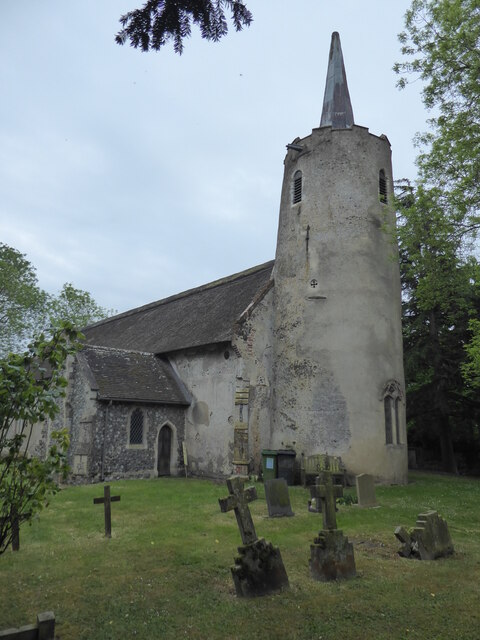
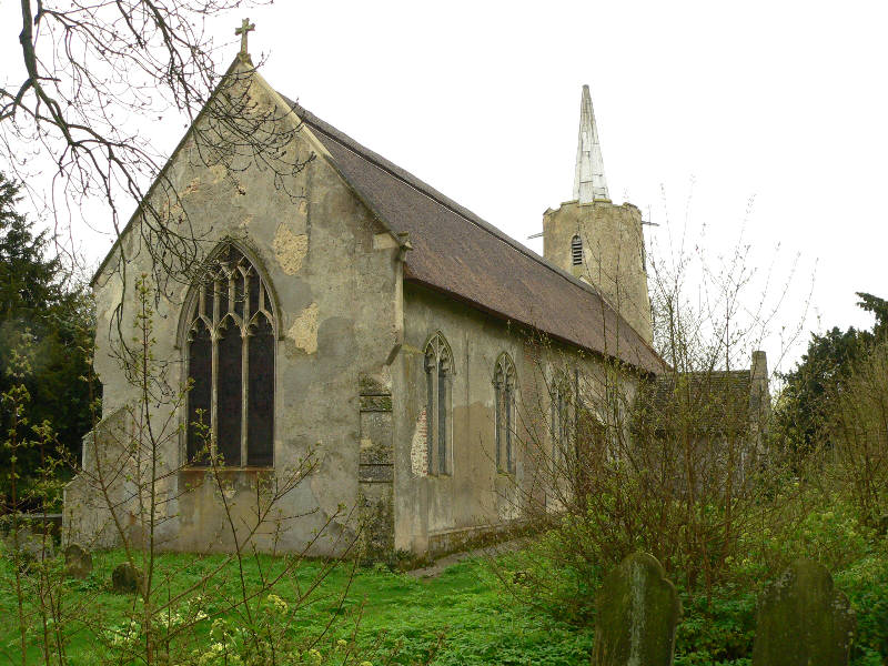
St Andrew's Church, Raveningham
St Andrew's Church is the parish church of Raveningham in Norfolk, England, and in the Diocese of Norwich. It is a round-tower church, dating mostly from...
Nearby Amenities
Located within 500m of 52.491768,1.5298385Have you been to George's Wood?
Leave your review of George's Wood below (or comments, questions and feedback).