Friars' Walk Covert
Wood, Forest in Suffolk East Suffolk
England
Friars' Walk Covert

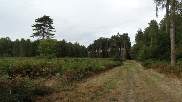
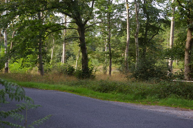
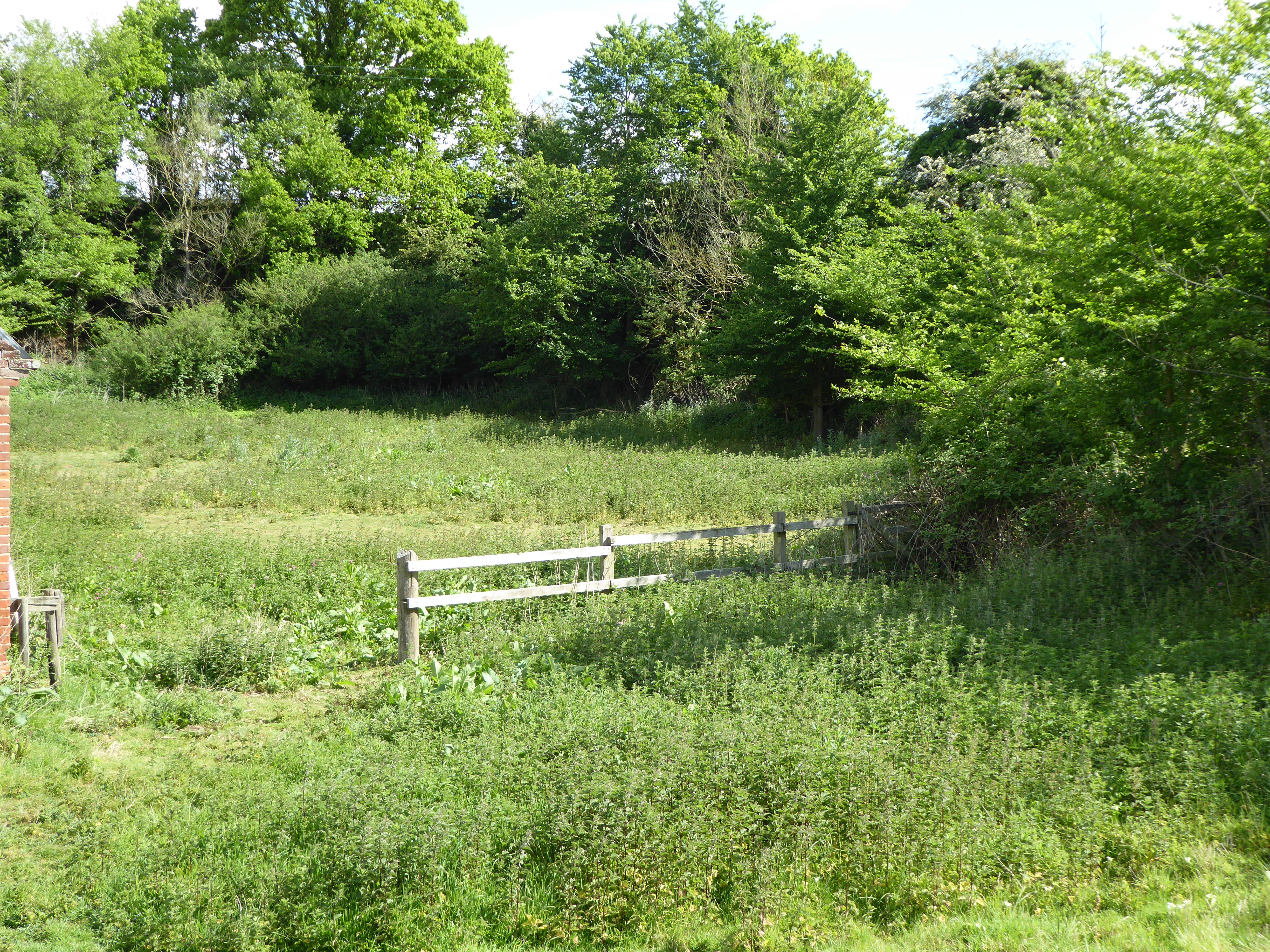
Friars' Walk Covert is a beautiful woodland area located in Suffolk, England. Covering an area of approximately 100 acres, this enchanting forest is nestled within the charming countryside of the East Anglian region. It is situated near the village of Woodbridge, providing a tranquil escape from the bustling city life.
The woodland is predominantly composed of deciduous trees such as oak, beech, and birch, creating a diverse and vibrant ecosystem. The forest floor is covered with a rich carpet of mosses, ferns, and wildflowers, adding to its natural beauty. This habitat supports a wide range of wildlife, including various bird species, small mammals, and insects.
The name "Friars' Walk Covert" is derived from the historical presence of Dominican friars who once used the area for their daily walks. The forest has retained its serene and peaceful ambiance, making it a popular destination for nature lovers, hikers, and birdwatchers.
Several trails wind through the woodland, allowing visitors to explore its hidden corners and discover its hidden treasures. The paths are well-maintained, making it accessible to people of all ages and abilities. Along the way, visitors may encounter ancient trees, babbling brooks, and various bird species.
Friars' Walk Covert offers a perfect escape to reconnect with nature and enjoy the serenity of the Suffolk countryside. Whether it's a leisurely stroll, a picnic amidst lush greenery, or simply immersing oneself in the sounds and scents of the forest, this woodland is a true gem waiting to be explored.
If you have any feedback on the listing, please let us know in the comments section below.
Friars' Walk Covert Images
Images are sourced within 2km of 52.115633/1.4930937 or Grid Reference TM3952. Thanks to Geograph Open Source API. All images are credited.


Friars' Walk Covert is located at Grid Ref: TM3952 (Lat: 52.115633, Lng: 1.4930937)
Administrative County: Suffolk
District: East Suffolk
Police Authority: Suffolk
What 3 Words
///reinvest.sweat.safe. Near Rendlesham, Suffolk
Nearby Locations
Related Wikis
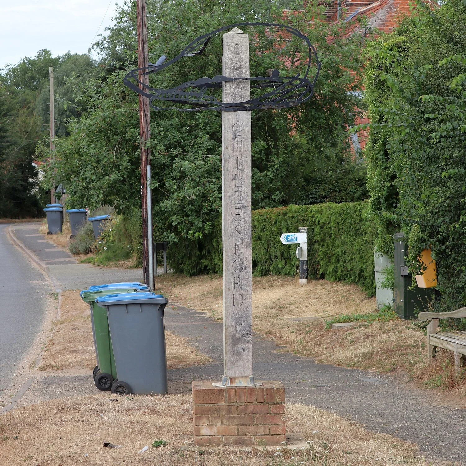
Chillesford
Chillesford is a village and civil parish in the East Suffolk district, in the English county of Suffolk. It is located on the B1084 road which runs east...
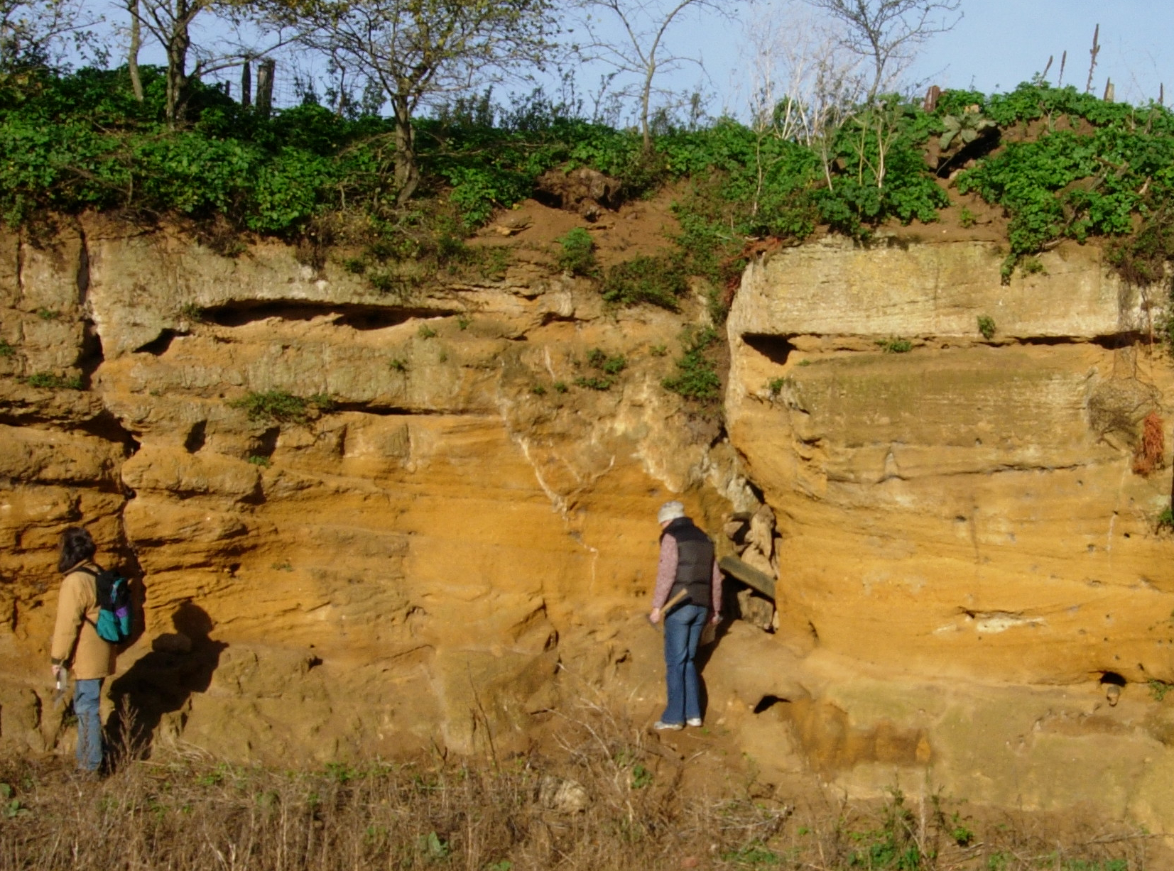
Chillesford Church Pit
Chillesford Church Pit is a 1.1-hectare (2.7-acre) geological Site of Special Scientific Interest in Chillesford, south of Saxmundham in Suffolk. It is...

Sudbourne Park Pit
Sudbourne Park Pit is a 1.1-hectare (2.7-acre) geological Site of Special Scientific Interest between Orford and Chillesford in Suffolk. It is a Geological...

Alde–Ore Estuary
Alde–Ore Estuary is a 2,534 hectare biological and geological Site of Special Scientific Interest which stretches along the Suffolk coast between Aldeburgh...

Sudbourne
Sudbourne is a village and civil parish in Suffolk, England, located approximately 2 miles (3 km) north of Orford. All Saints' Church dates from the 14th...

Neutral Farm Pit, Butley
Neutral Farm Pit, Butley is a 1.1-hectare (2.7-acre) geological Site of Special Scientific Interest in Butley, east of Woodbridge in Suffolk. It is a Geological...

Wantisden
Wantisden is a small village and civil parish in the East Suffolk district of Suffolk in eastern England. Largely consisting of a single farm and ancient...
Coralline Crag Formation
The Coralline Crag Formation is a geological formation in England. It is a series of marine deposits found near the North Sea coast of Suffolk and characterised...
Nearby Amenities
Located within 500m of 52.115633,1.4930937Have you been to Friars' Walk Covert?
Leave your review of Friars' Walk Covert below (or comments, questions and feedback).