Fryerns
Settlement in Essex Basildon
England
Fryerns
Fryerns is a residential area located in the district of Basildon, Essex, in the southeastern region of England. It is situated approximately 30 miles east of London and is part of the larger Basildon New Town development.
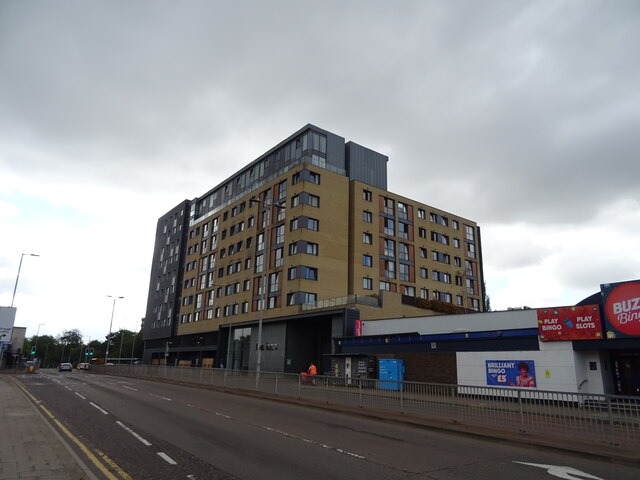
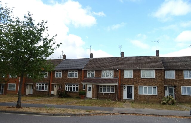
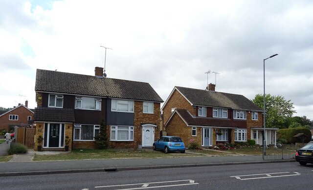
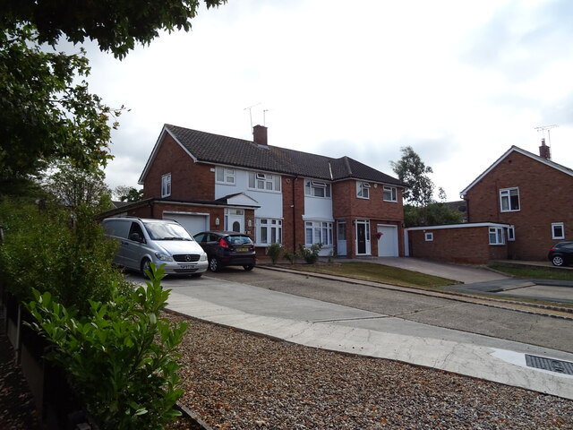
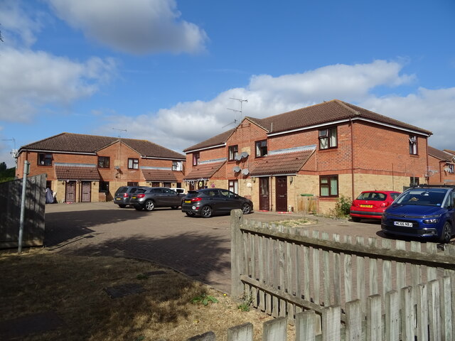
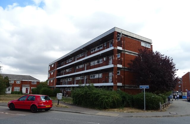
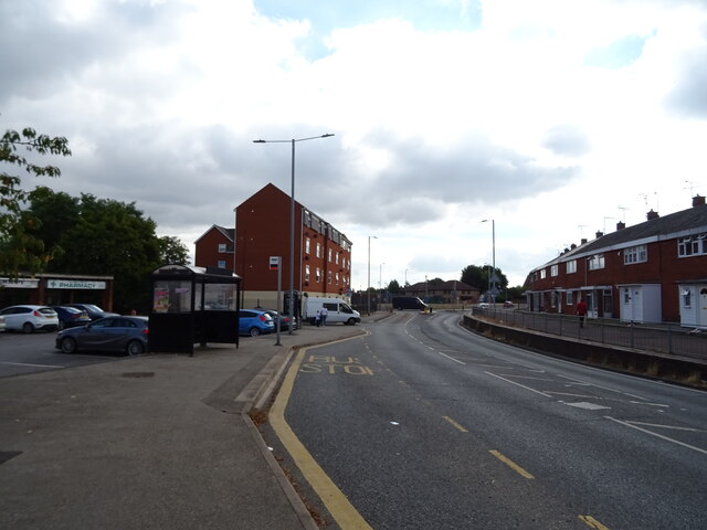
The area is characterized by its mix of housing types, including council estates, privately-owned properties, and apartment complexes. The architecture of the area is largely post-war, with many properties built in the 1950s and 1960s. However, there has been some recent redevelopment and modernization of the housing stock in Fryerns.
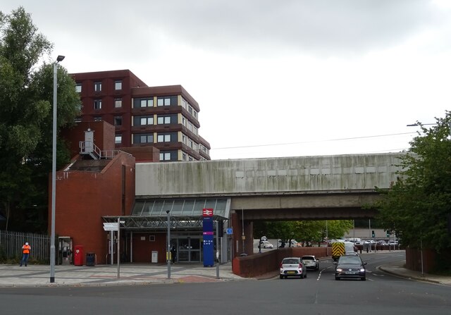
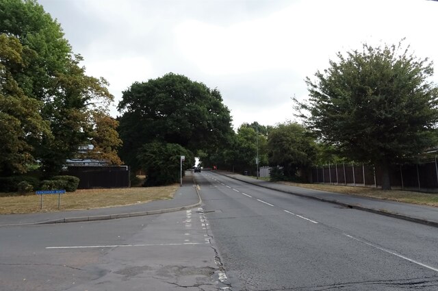
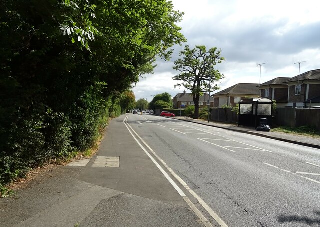
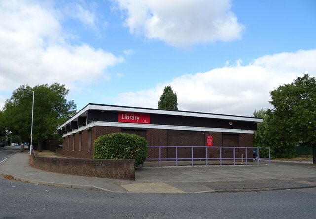
Fryerns is well-served by local amenities, including several primary schools, a secondary school, and a community center. The area also benefits from the nearby Basildon University Hospital, which provides healthcare services to the residents. In terms of transportation, Fryerns is easily accessible by road, with the A127 and A13 major routes connecting the area to surrounding towns and cities.
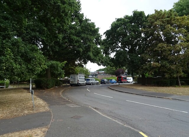
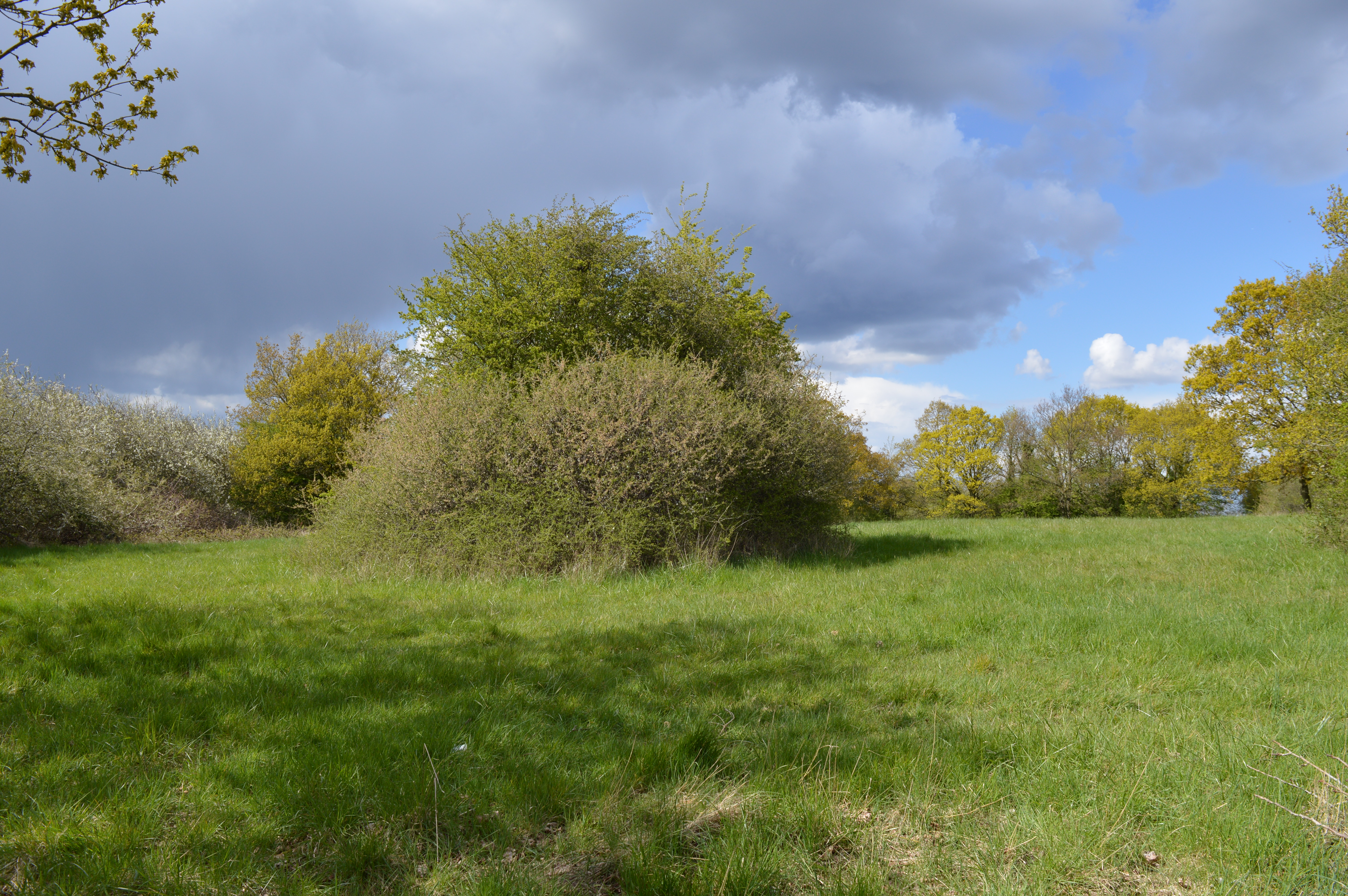
While Fryerns does not have its own town center, there are several shopping centers and retail parks nearby, offering a range of shops, supermarkets, and eateries. The area also boasts several green spaces, such as Fryerns Park and Gloucester Park, providing residents with recreational opportunities and areas for leisure activities.
Overall, Fryerns is a predominantly residential area with a mix of housing options and a range of amenities nearby. It offers a convenient location for commuting to London and other nearby towns, while also providing a pleasant living environment for its residents.
If you have any feedback on the listing, please let us know in the comments section below.
Fryerns Images
Images are sourced within 2km of 51.577431/0.478602 or Grid Reference TQ7189. Thanks to Geograph Open Source API. All images are credited.
Fryerns is located at Grid Ref: TQ7189 (Lat: 51.577431, Lng: 0.478602)
Administrative County: Essex
District: Basildon
Police Authority: Essex
What 3 Words
///crowds.fluid.total. Near Basildon, Essex
Nearby Locations
Related Wikis

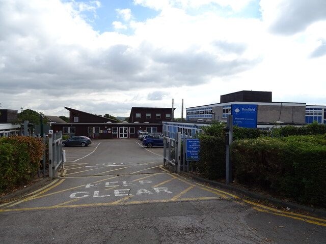
Fryerns Comprehensive School
Fryerns Comprehensive School , also known as Fryerns Community School, was a mixed intake secondary school in Basildon, Essex that opened in 1956. The...
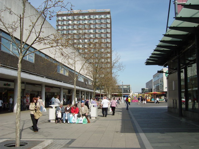
Basildon
Basildon ( BAZ-il-dən) is the largest town in the borough of Basildon, within the county of Essex, England. It had a recorded population of 107,123. In...

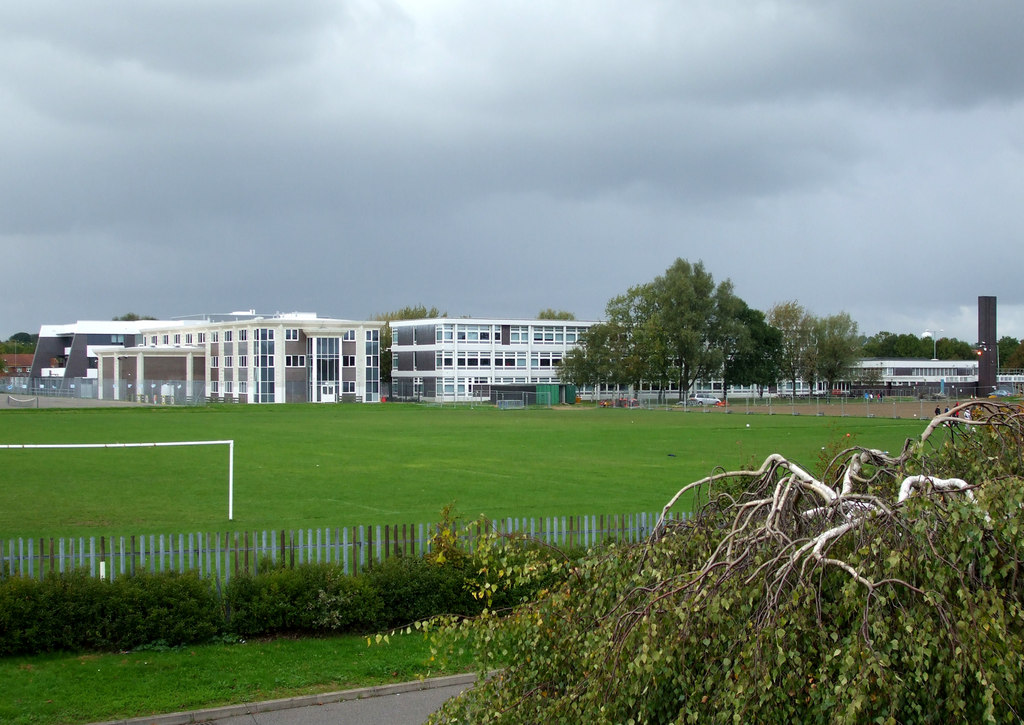
De La Salle School, Basildon
De La Salle School is a Roman Catholic voluntary aided school located in Basildon, Essex for boys and girls aged 11 to 16, in the Trusteeship of the La...
Barstable School
The Barstable School was a mixed intake secondary school in Basildon, Essex. It closed in 2009 to become a founding member of the Basildon Academies....
Basildon United F.C.
Basildon United Football Club is a football club based in Basildon, Essex. They are currently members of the Isthmian League North Division and play at...

Basildon Urban District
Basildon Urban District (from 1934 to 1955 Billericay Urban District) was a local government district in south Essex, England from 1934 to 1974. The district...

Northlands Park, Basildon
Northlands Park is a park in Basildon, Essex, England. == History of the park == Basildon Northlands Park was created by Basildon Development Corporation...
Vange Hill
Vange Hill is an 11.5 hectare Local Nature Reserve in Vange, a suburb of Basildon in Essex. It is owned and managed by Basildon Borough Council.The site...
Nearby Amenities
Located within 500m of 51.577431,0.478602Have you been to Fryerns?
Leave your review of Fryerns below (or comments, questions and feedback).