Five Acre Plantation
Wood, Forest in Norfolk South Norfolk
England
Five Acre Plantation
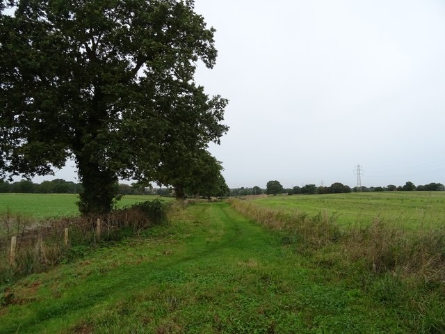
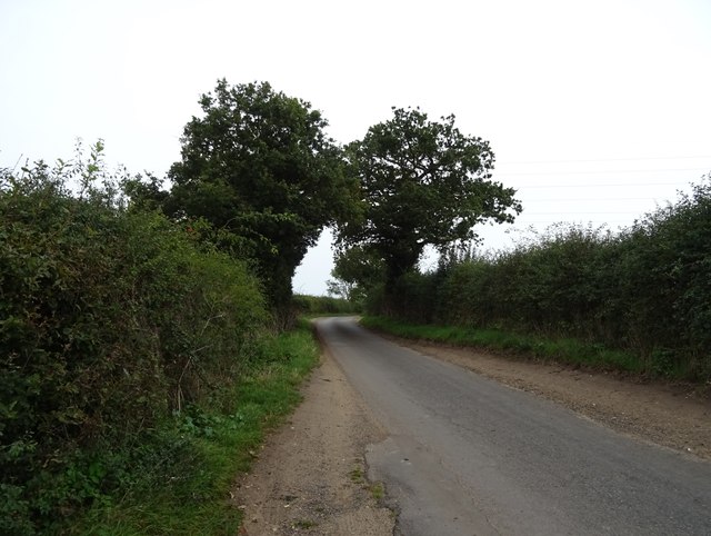
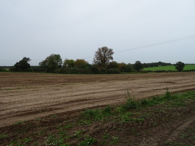
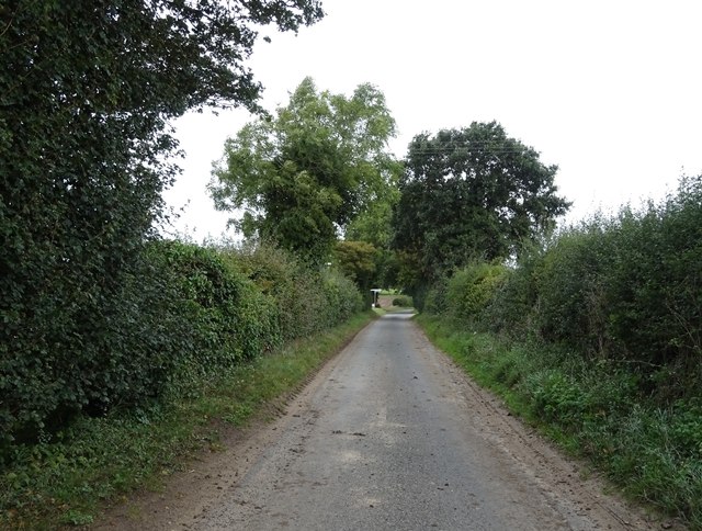
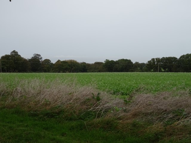
Five Acre Plantation is a sprawling forest located in Norfolk, England. Spanning over five acres, this plantation is known for its dense woodlands and diverse range of flora and fauna. The plantation is situated in a picturesque setting, surrounded by rolling hills and tranquil streams, making it a popular destination for nature enthusiasts and hikers alike.
The woodland in Five Acre Plantation is characterized by its mature trees, predominantly consisting of oak, beech, and birch species. These trees provide a dense canopy, casting a cool shade over the forest floor. Beneath this canopy, a wide variety of plant life thrives, including bluebells, ferns, and mosses, creating a vibrant and colorful undergrowth.
The plantation is also home to a rich and diverse wildlife population. Various bird species can be spotted here, including woodpeckers, owls, and wrens, filling the air with their melodic songs. Squirrels, badgers, and foxes are among the mammals that call this forest home, adding to the overall biodiversity of the area.
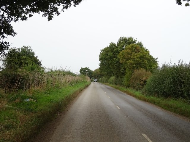
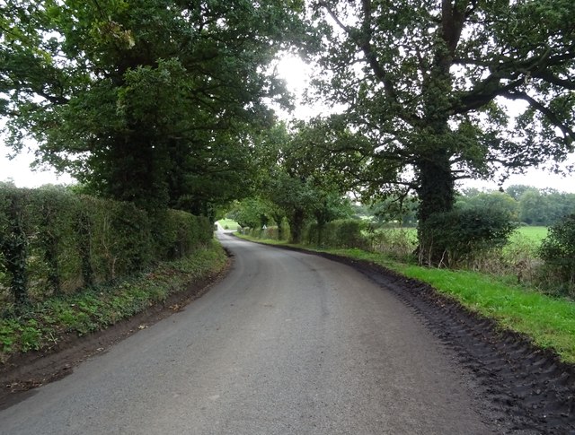
The plantation offers several walking trails, allowing visitors to explore its natural beauty at their own pace. These trails wind through the forest, offering breathtaking views of the surrounding landscape. Additionally, there are designated picnic areas and benches, providing visitors with the opportunity to relax and enjoy the peaceful ambiance of the plantation.
Overall, Five Acre Plantation is a haven for nature lovers, offering a serene and beautiful escape from the hustle and bustle of daily life. With its lush woodlands, diverse wildlife, and picturesque surroundings, it is no wonder that this plantation is a cherished natural treasure in Norfolk.
If you have any feedback on the listing, please let us know in the comments section below.
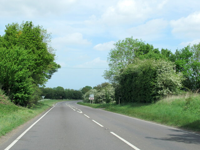
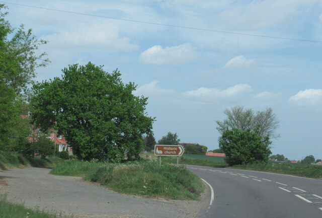
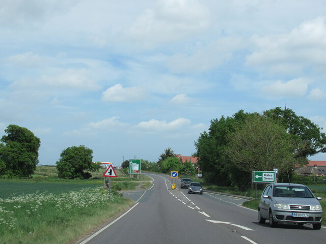
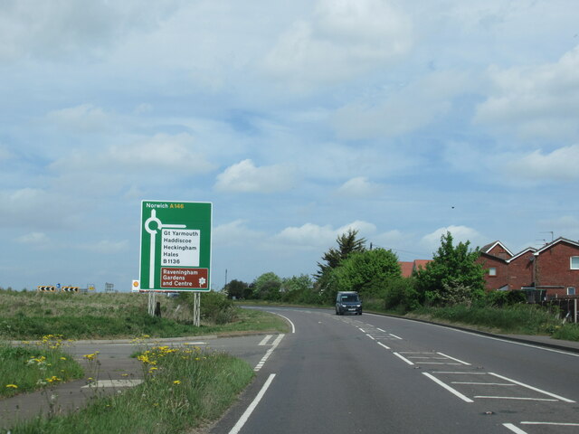
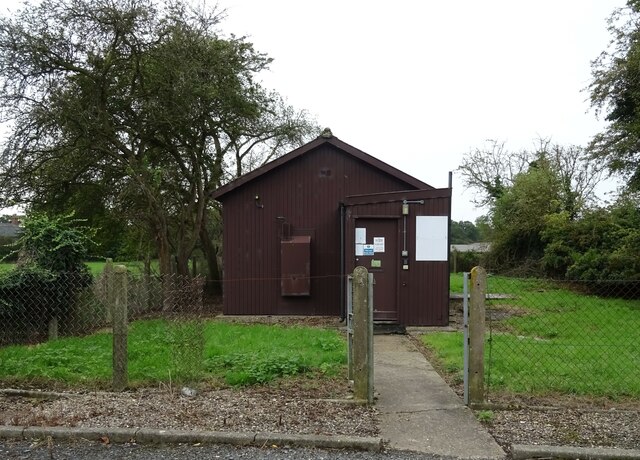
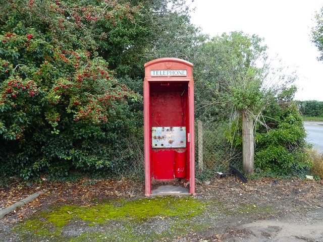
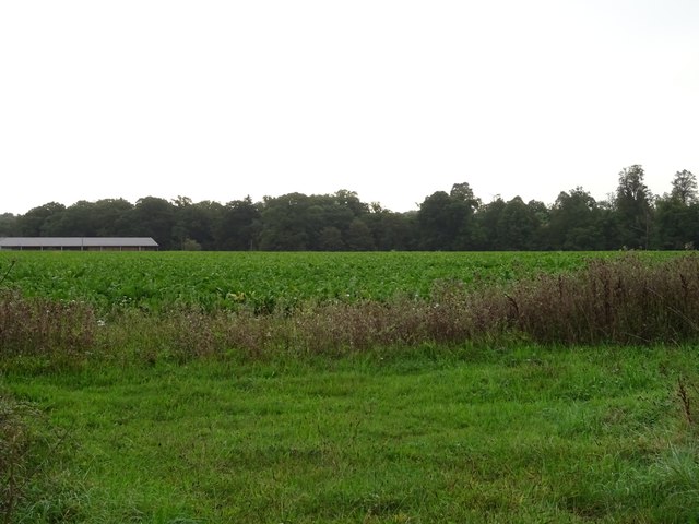
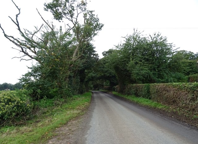
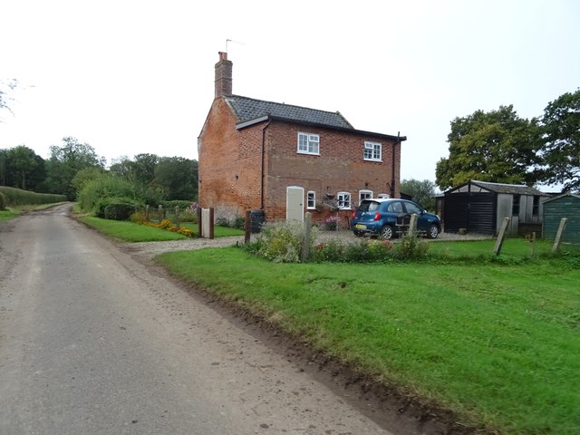
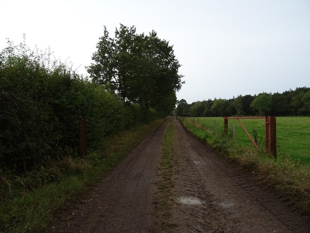
Five Acre Plantation Images
Images are sourced within 2km of 52.5147/1.5175838 or Grid Reference TM3896. Thanks to Geograph Open Source API. All images are credited.
Five Acre Plantation is located at Grid Ref: TM3896 (Lat: 52.5147, Lng: 1.5175838)
Administrative County: Norfolk
District: South Norfolk
Police Authority: Norfolk
What 3 Words
///handlebar.third.pebbles. Near Thurlton, Norfolk
Nearby Locations
Related Wikis

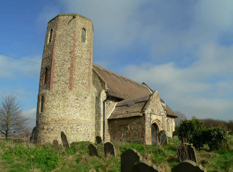
St Margaret's Church, Hales
St Margaret's Church is a redundant Anglican church in the village of Hales, Norfolk, England. It is recorded in the National Heritage List for England...
Hales
Hales is a small village in Norfolk, England. It covers an area of 3.99 km2 (1.54 sq mi) and had a population of 479 in 192 households as of the 2001 census...

St Andrew's Church, Raveningham
St Andrew's Church is the parish church of Raveningham in Norfolk, England, and in the Diocese of Norwich. It is a round-tower church, dating mostly from...

Raveningham Hall
Raveningham Hall is a country house in Norfolk, England, about 10 miles (16 km) south-east of Norwich. There are 10 acres of gardens, and it has a rural...
Raveningham
Raveningham (pronounced "Ran-ing'm") is a small village and parish in the county of Norfolk, England, about 13 miles (21 km) south-east of Norwich. It...

Hales Green Common
Hales Green Common is an area of open access common land situated in South Norfolk, England. Hales Green Common has been described by Norfolk Wildlife...

Hales Hall
Hales Hall is a notable English country house in Loddon, Norfolk, largely dating from the 15th century. It was once the seat of the Hobart family, including...
Heckingham
Heckingham is a small village and parish in the county of Norfolk, England, about a mile east of Loddon. It covers an area of 4.46 km2 (1.72 sq mi) and...
Nearby Amenities
Located within 500m of 52.5147,1.5175838Have you been to Five Acre Plantation?
Leave your review of Five Acre Plantation below (or comments, questions and feedback).