Claypit Plantation
Wood, Forest in Norfolk South Norfolk
England
Claypit Plantation
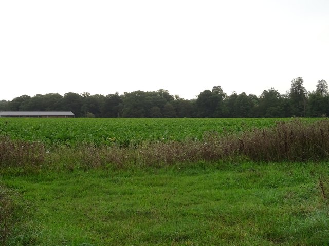
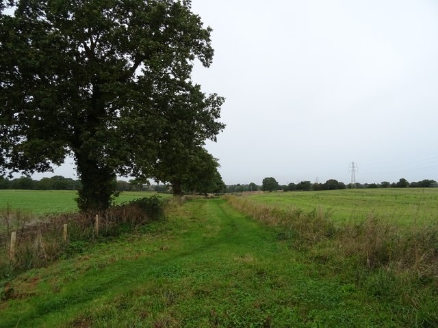
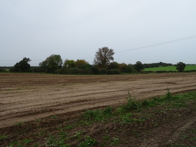
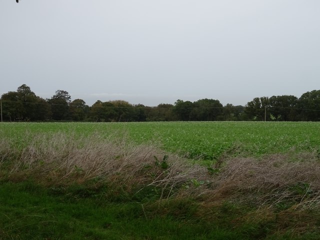
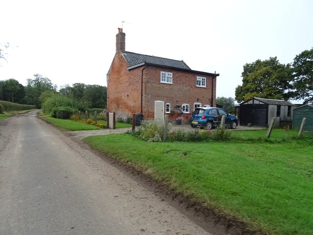
Claypit Plantation is a serene woodland located in Norfolk, England. Spanning over an area of approximately 100 acres, it is nestled amidst the picturesque countryside, offering visitors a peaceful retreat from the hustle and bustle of city life. The plantation is primarily composed of clay pits, which were historically used for brick-making, lending a unique charm to the landscape.
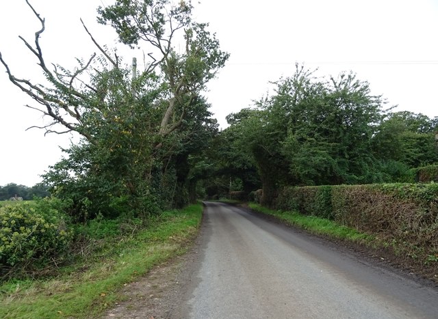
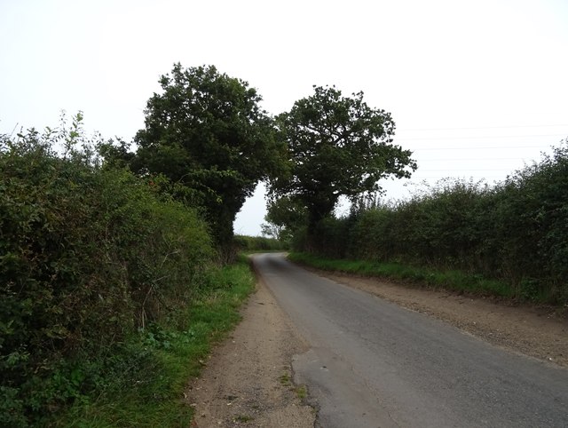
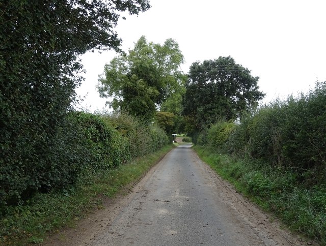
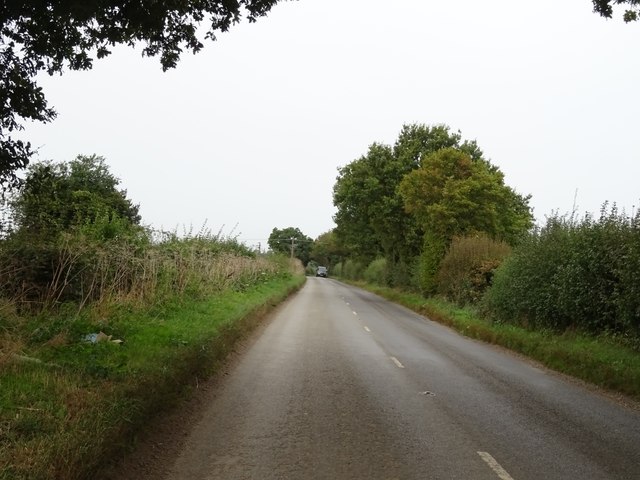
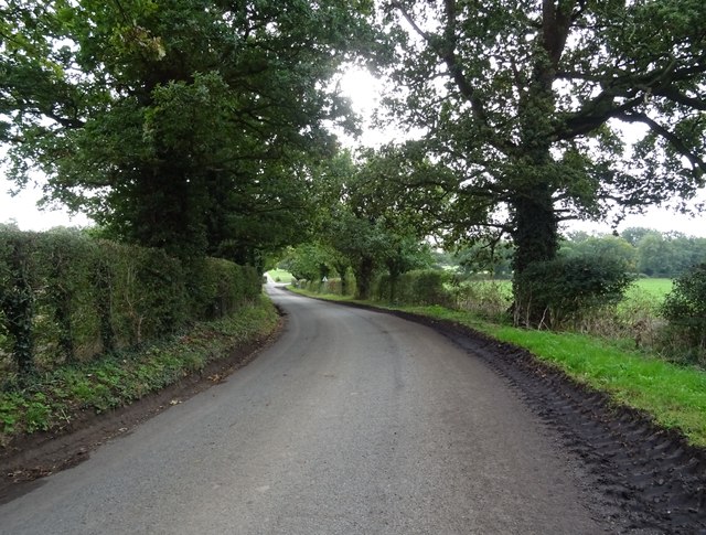
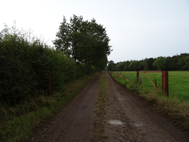
The woodland is predominantly made up of mature oak and beech trees, creating a dense canopy that provides shade and shelter for an abundance of wildlife. Visitors can explore the plantation through a network of well-maintained walking trails, allowing them to immerse themselves in the natural beauty of the forest. The trails are suitable for all levels of fitness, with options for short strolls or longer hikes.
Claypit Plantation is a haven for nature enthusiasts, as it is home to a diverse range of flora and fauna. Birdwatchers can spot numerous species, including woodpeckers, owls, and various songbirds, while the lucky observer may even catch a glimpse of a deer or a fox. The plantation also boasts a rich variety of wildflowers, adding splashes of color to the woodland throughout the year.
In addition to its natural wonders, Claypit Plantation offers several amenities for visitors. There are picnic areas where families can relax and enjoy a meal amidst the tranquil surroundings. The plantation also has a visitor center, providing information about the local wildlife and history of the area.
Overall, Claypit Plantation is a hidden gem in Norfolk, offering a peaceful retreat for nature lovers and a chance to reconnect with the beauty of the natural world.
If you have any feedback on the listing, please let us know in the comments section below.
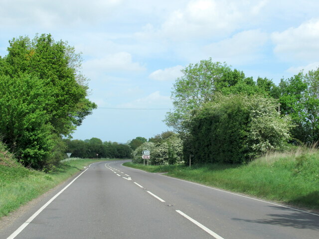
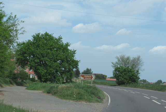
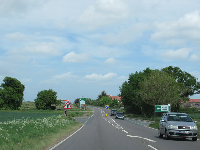
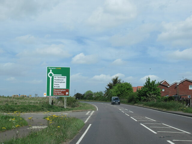
Claypit Plantation Images
Images are sourced within 2km of 52.517485/1.5161993 or Grid Reference TM3896. Thanks to Geograph Open Source API. All images are credited.
Claypit Plantation is located at Grid Ref: TM3896 (Lat: 52.517485, Lng: 1.5161993)
Administrative County: Norfolk
District: South Norfolk
Police Authority: Norfolk
What 3 Words
///cupcake.token.regarding. Near Loddon, Norfolk
Nearby Locations
Related Wikis

Hales
Hales is a small village in Norfolk, England. It covers an area of 3.99 km2 (1.54 sq mi) and had a population of 479 in 192 households as of the 2001 census...
St Margaret's Church, Hales
St Margaret's Church is a redundant Anglican church in the village of Hales, Norfolk, England. It is recorded in the National Heritage List for England...

Raveningham
Raveningham (pronounced "Ran-ing'm") is a small village and parish in the county of Norfolk, England, about 13 miles (21 km) south-east of Norwich. It...
St Andrew's Church, Raveningham
St Andrew's Church is the parish church of Raveningham in Norfolk, England, and in the Diocese of Norwich. It is a round-tower church, dating mostly from...
Nearby Amenities
Located within 500m of 52.517485,1.5161993Have you been to Claypit Plantation?
Leave your review of Claypit Plantation below (or comments, questions and feedback).