Carmen's Wood
Wood, Forest in Suffolk East Suffolk
England
Carmen's Wood
Carmen's Wood is a pristine forest located in Suffolk, England. Spread across a vast area, the wood is known for its breathtaking natural beauty and rich biodiversity. It is a popular destination for nature enthusiasts, hikers, and birdwatchers.
Covered in a dense canopy of ancient trees, Carmen's Wood offers a serene and tranquil environment. The wood is home to a wide variety of plant species, including oak, beech, and birch trees. The forest floor is adorned with a lush carpet of ferns, mosses, and wildflowers, creating a picturesque landscape.
The wood provides a habitat for numerous wildlife species. Visitors may spot deer, rabbits, squirrels, and a plethora of bird species, including woodpeckers, owls, and thrushes. The forest's diverse ecosystem also supports a range of insects, making it an ideal spot for insect enthusiasts.
The wood is crisscrossed with well-maintained walking trails, allowing visitors to explore its beauty at their own pace. These trails lead to hidden clearings, babbling brooks, and idyllic ponds, providing plenty of opportunities for picnicking and photography.
Carmen's Wood is not only a haven for nature lovers but also serves as an important site for scientific research and conservation efforts. Its pristine environment has made it a designated Site of Special Scientific Interest (SSSI), ensuring the protection and preservation of its unique ecology.
In summary, Carmen's Wood in Suffolk is a magnificent forest that offers a peaceful retreat to those seeking solace in nature. Its ancient trees, diverse wildlife, and well-maintained trails make it an ideal destination for anyone looking to immerse themselves in the beauty of the natural world.
If you have any feedback on the listing, please let us know in the comments section below.
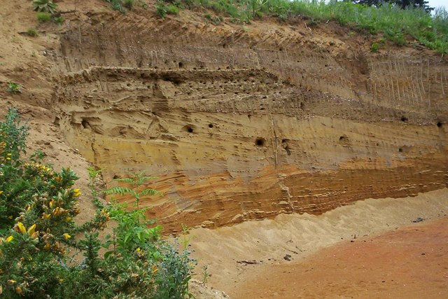
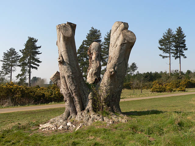
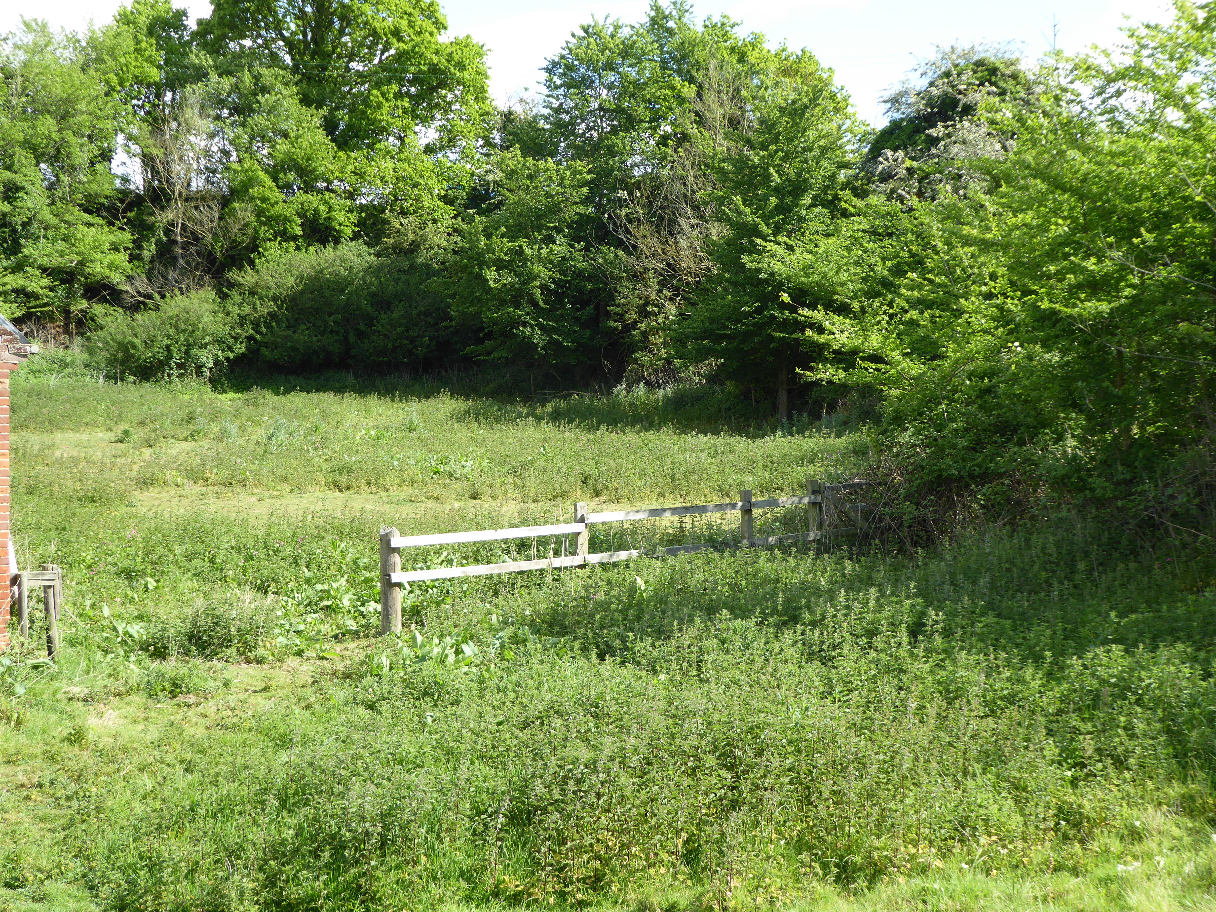
Carmen's Wood Images
Images are sourced within 2km of 52.09786/1.4751421 or Grid Reference TM3850. Thanks to Geograph Open Source API. All images are credited.


Carmen's Wood is located at Grid Ref: TM3850 (Lat: 52.09786, Lng: 1.4751421)
Administrative County: Suffolk
District: East Suffolk
Police Authority: Suffolk
What 3 Words
///suffice.outfitter.fussed. Near Rendlesham, Suffolk
Nearby Locations
Related Wikis

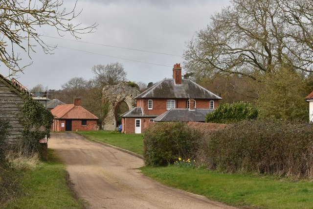
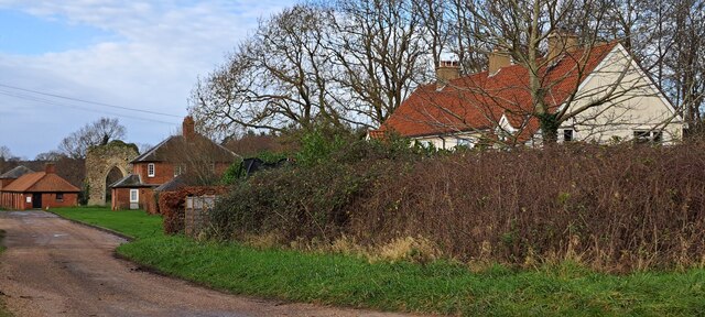
Butley Priory
Butley Priory, sometimes called Butley Abbey, was a religious house of Canons regular (Augustinians, Black canons) in Butley, Suffolk, dedicated to The...

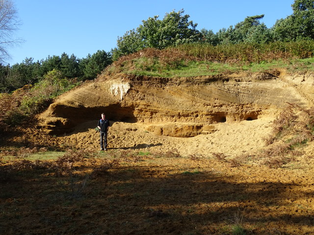
Neutral Farm Pit, Butley
Neutral Farm Pit, Butley is a 1.1-hectare (2.7-acre) geological Site of Special Scientific Interest in Butley, east of Woodbridge in Suffolk. It is a Geological...

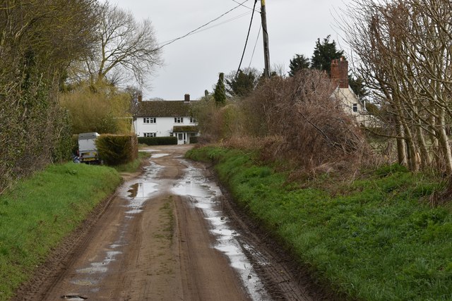
Butley, Suffolk
Butley is a village and civil parish in the English county of Suffolk. Butley lies 7+1⁄2 miles (12 km) east of the town of Woodbridge on the B1084 (Orford...

Alde–Ore Estuary
Alde–Ore Estuary is a 2,534 hectare biological and geological Site of Special Scientific Interest which stretches along the Suffolk coast between Aldeburgh...

Wantisden
Wantisden is a small village and civil parish in the East Suffolk district of Suffolk in eastern England. Largely consisting of a single farm and ancient...

Rendlesham Forest incident
The Rendlesham Forest incident was a series of reported sightings of unexplained lights near Rendlesham Forest in Suffolk, England, in December 1980, which...
Chillesford Church Pit
Chillesford Church Pit is a 1.1-hectare (2.7-acre) geological Site of Special Scientific Interest in Chillesford, south of Saxmundham in Suffolk. It is...

Sandlings Forest
Sandlings Forest is a 2,483.8 hectare biological Site of Special Scientific Interest in two large blocks, Rendlesham Forest and Tunstall Forest, and two...
Nearby Amenities
Located within 500m of 52.09786,1.4751421Have you been to Carmen's Wood?
Leave your review of Carmen's Wood below (or comments, questions and feedback).