Black's Grove
Wood, Forest in Norfolk South Norfolk
England
Black's Grove
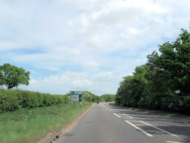
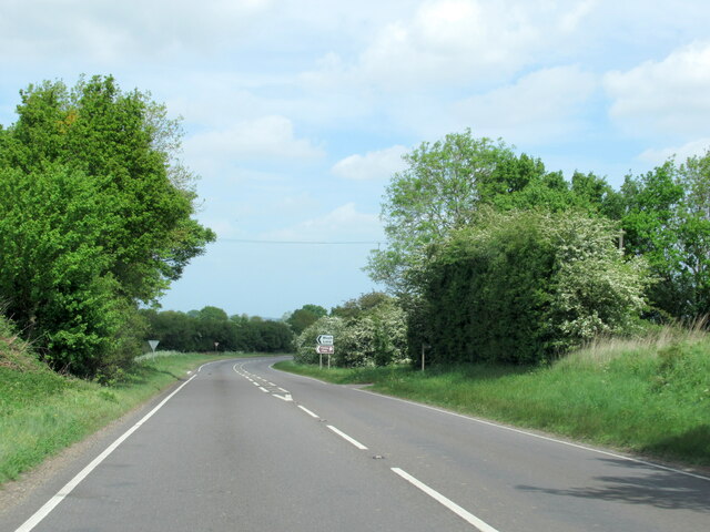
Black's Grove is a picturesque woodland located in Norfolk, England. Nestled within the heart of the county, this enchanting forest covers an area of approximately 50 acres, showcasing a diverse array of native trees and captivating wildlife.
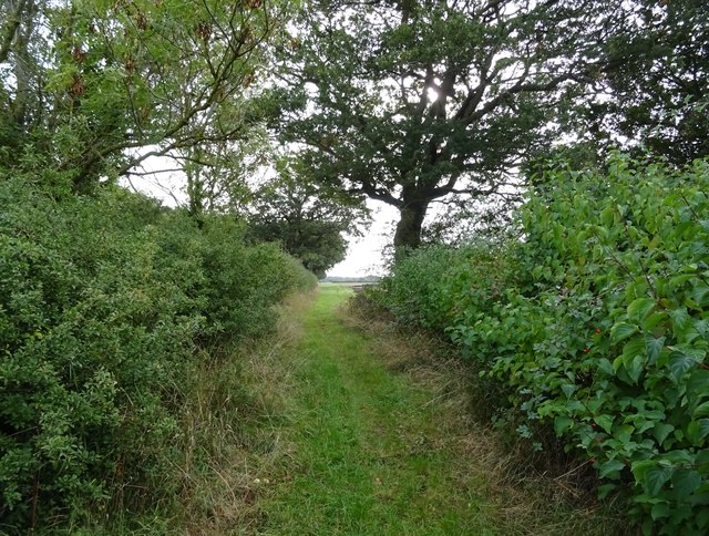
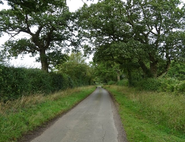
The grove takes its name from the dense blackthorn bushes that line its perimeter, creating a striking visual contrast against the lush greenery. The forest is predominantly composed of ancient oak and beech trees, their towering trunks forming a majestic canopy that filters sunlight, casting dappled shadows on the forest floor.
Walking through Black's Grove is a truly immersive experience, as visitors are greeted by a symphony of sounds from the resident wildlife. The forest is home to a plethora of bird species, including woodpeckers, tawny owls, and various songbirds, their melodious calls filling the air. Observant visitors may also spot elusive mammals such as deer, foxes, and badgers, adding to the enchantment of the grove.
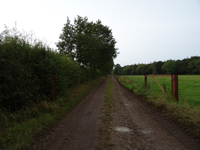
The forest features a network of well-maintained trails, allowing visitors to explore its serene beauty at their own pace. These winding paths lead to hidden clearings, providing peaceful spots for picnics or simply to sit and appreciate the tranquility of nature. Additionally, there are several designated areas for birdwatching and nature photography, attracting enthusiasts from near and far.
Black's Grove is not only a haven for wildlife and nature enthusiasts, but also an important ecological sanctuary. It plays a vital role in preserving the local biodiversity and acts as a critical habitat for numerous species. With its stunning scenery and rich natural heritage, Black's Grove is a true gem within Norfolk's landscape, offering visitors a memorable and immersive woodland experience.
If you have any feedback on the listing, please let us know in the comments section below.
Black's Grove Images
Images are sourced within 2km of 52.499404/1.5047775 or Grid Reference TM3794. Thanks to Geograph Open Source API. All images are credited.


Black's Grove is located at Grid Ref: TM3794 (Lat: 52.499404, Lng: 1.5047775)
Administrative County: Norfolk
District: South Norfolk
Police Authority: Norfolk
What 3 Words
///publisher.youth.enhances. Near Loddon, Norfolk
Nearby Locations
Related Wikis
Kirby Cane
Kirby Cane is a scattered village and civil parish centred 3.8 miles (6.1 km) west northwest of Beccles and 2.7 miles (4.3 km) northeast of Bungay. It...

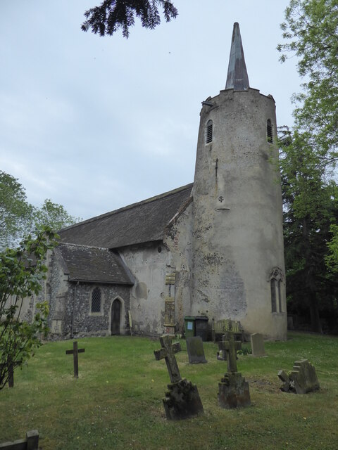
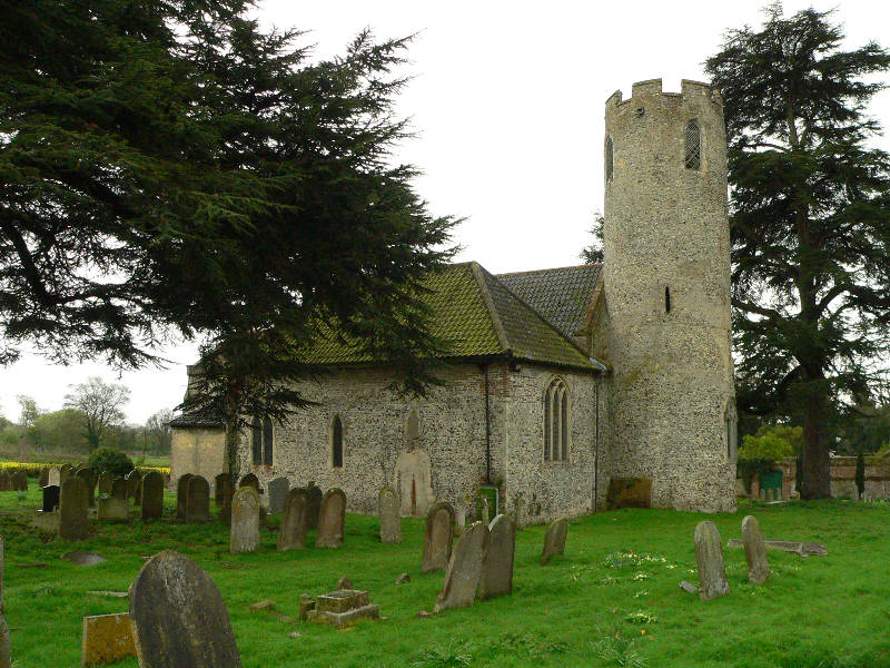
St Margaret's Church, Hales
St Margaret's Church is a redundant Anglican church in the village of Hales, Norfolk, England. It is recorded in the National Heritage List for England...

Hales Hall
Hales Hall is a notable English country house in Loddon, Norfolk, largely dating from the 15th century. It was once the seat of the Hobart family, including...
Stockton, Norfolk
Stockton is a small village in Norfolk, England near the A146, just over 2 miles from Beccles. It covers an area of 3.65 km2 (1.41 sq mi) and had a population...

Leet Hill, Kirby Cane
Leet Hill, Kirby Cane is a 6.5-hectare (16-acre) geological Site of Special Scientific Interest in Kirby Cane in Norfolk. It is a Geological Conservation...

Hales Green Common
Hales Green Common is an area of open access common land situated in South Norfolk, England. Hales Green Common has been described by Norfolk Wildlife...

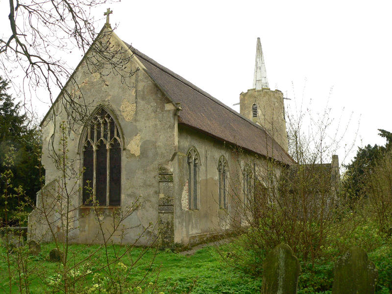
St Andrew's Church, Raveningham
St Andrew's Church is the parish church of Raveningham in Norfolk, England, and in the Diocese of Norwich. It is a round-tower church, dating mostly from...
Hales
Hales is a small village in Norfolk, England. It covers an area of 3.99 km2 (1.54 sq mi) and had a population of 479 in 192 households as of the 2001 census...
Nearby Amenities
Located within 500m of 52.499404,1.5047775Have you been to Black's Grove?
Leave your review of Black's Grove below (or comments, questions and feedback).