Froxfield

Settlement in Bedfordshire

England

Froxfield

Chinese Dairy and Pond On the Woburn Abbey Estate, a folly dairy
Chinese Dairy and Pond Credit: Kevin Waterhouse

Froxfield is a small village located in the county of Bedfordshire, England. It is situated approximately 10 miles northeast of the town of Bedford and 40 miles north of London. The village is part of the civil parish of Sharnbrook and falls under the Borough of Bedford.

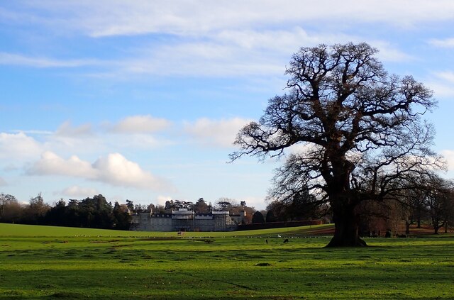
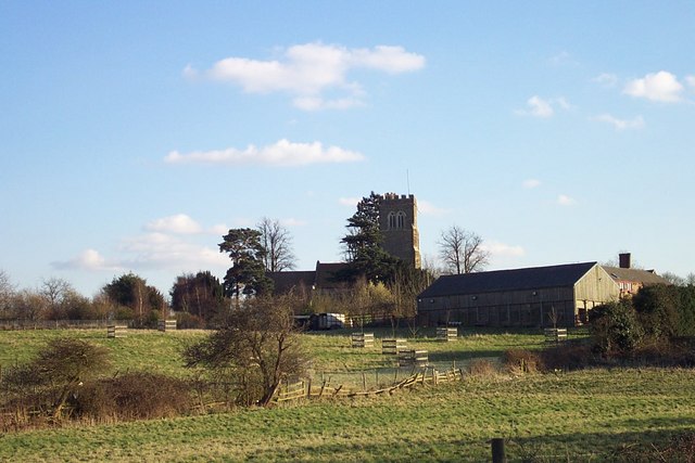
Froxfield is characterized by its picturesque countryside setting, surrounded by rolling hills and farmland. The village itself has a population of around 400 residents, offering a quiet and peaceful atmosphere. It is primarily a residential area, with a mix of traditional cottages and modern houses.

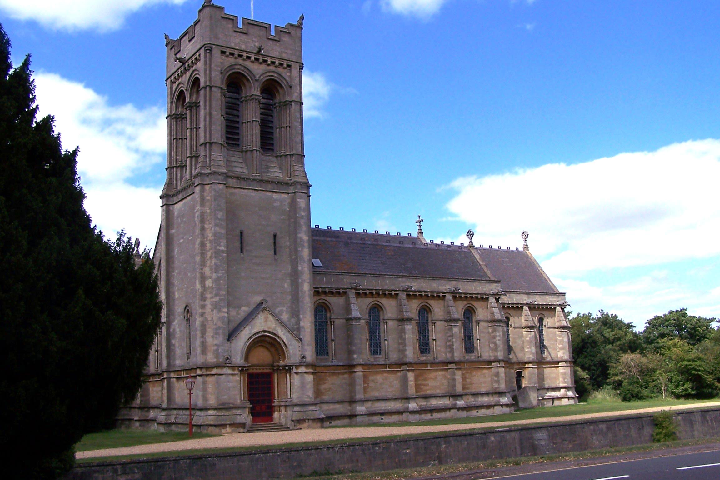
The village does not have its own amenities such as a shop or post office, but it is in close proximity to neighboring villages that provide these services. Froxfield does, however, boast a charming church, St. Albans, which dates back to the 13th century and is a notable landmark in the area.

The village is well-connected to nearby towns and cities by road, with the A6 running through the neighboring village of Sharnbrook, providing easy access to Bedford and other major routes. Public transportation is also available, with regular bus services connecting Froxfield to surrounding areas.

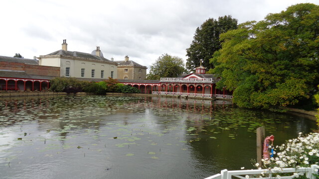
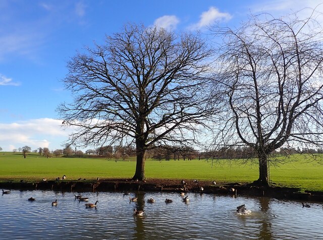
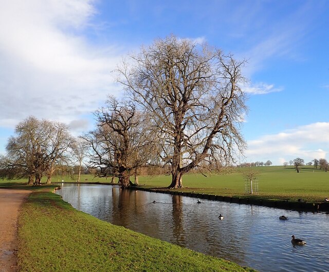
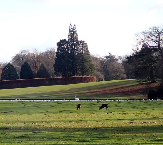
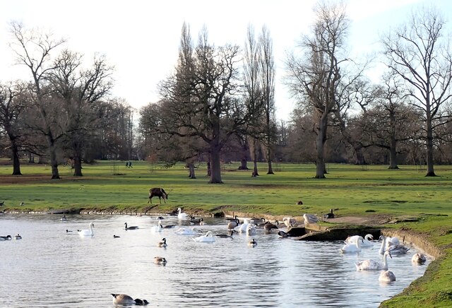
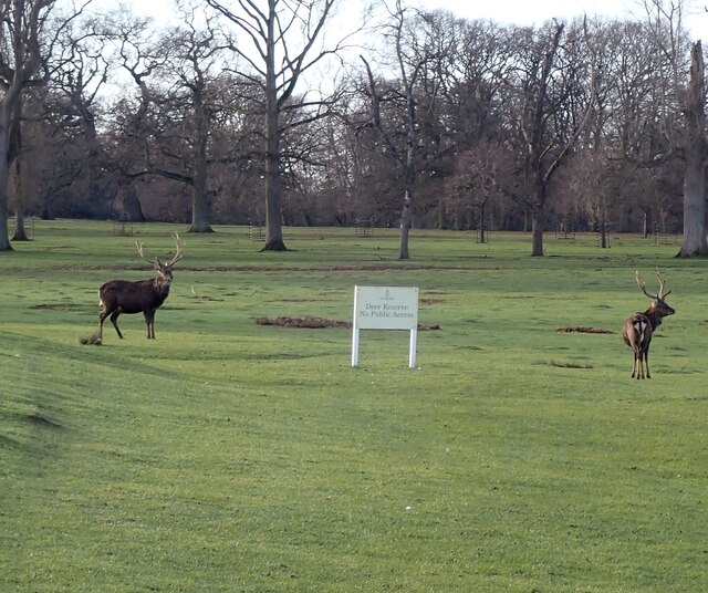
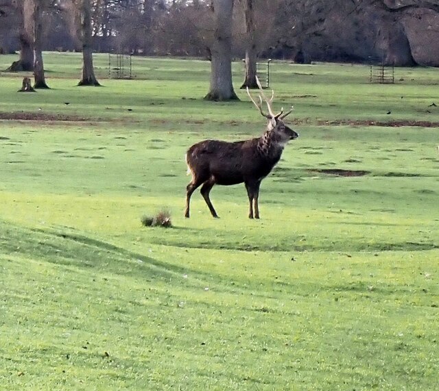
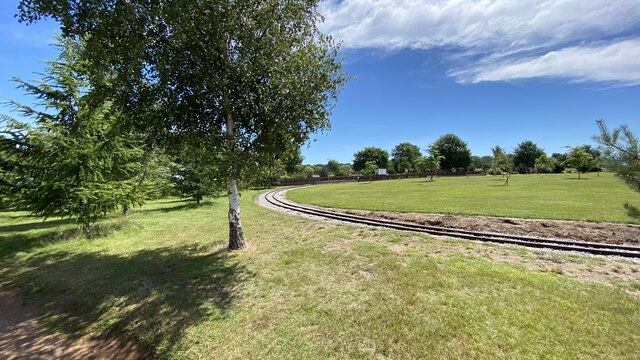
Froxfield is known for its rural beauty and is a popular destination for nature lovers and outdoor enthusiasts. The surrounding countryside offers opportunities for scenic walks, cycling, and exploring the nearby River Great Ouse. Overall, Froxfield provides a tranquil and idyllic setting for those seeking a countryside retreat.

If you have any feedback on the listing, please let us know in the comments section below.
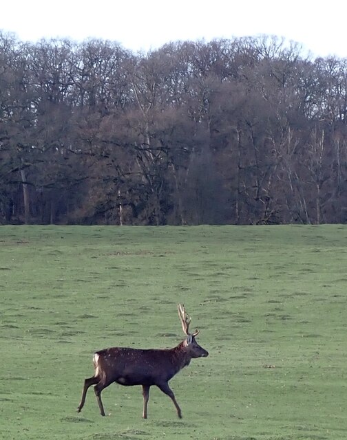
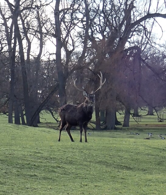
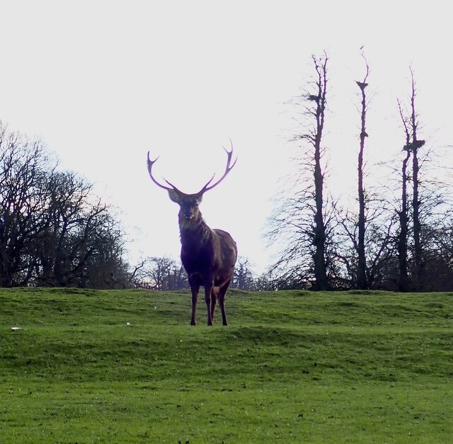
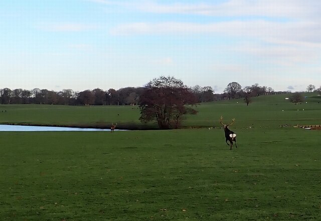
Froxfield Images

Images are sourced within 2km of 51.990514/-0.585835 or Grid Reference SP9733. Thanks to Geograph Open Source API. All images are credited.

Chinese Dairy and Pond On the Woburn Abbey Estate, a folly dairy
Chinese Dairy and Pond
On the Woburn Abbey Estate, a folly dairy
Woburn Park - Ducks and geese on Horse Pond Looking across the southern end of Horse Pond in Woburn Park with numerous ducks and geese (mostly the latter) in evidence.
Woburn Park - Ducks and geese on Horse Pond
Looking across the southern end of Horse Pond in Woburn Park with numerous ducks and geese (mostly the latter) in evidence.
Woburn Park - Horse Pond Looking along the length of the long, narrow Horse Pond in Woburn Park.
Woburn Park - Horse Pond
Looking along the length of the long, narrow Horse Pond in Woburn Park.
Woburn Park - View to the Abbey Looking across a stretch of Woburn Park to the Abbey. Hidden in a dip is Basin Pond. Deer and wildfowl dot the intervening land.
Woburn Park - View to the Abbey
Looking across a stretch of Woburn Park to the Abbey. Hidden in a dip is Basin Pond. Deer and wildfowl dot the intervening land.
Woburn Park - Deer in front of Basin Pond A thin sliver of Basin Pond can be seen in the mid-distance with numerous birds including a large swan. In front of them two Red Deer quietly munch on the grass.
Woburn Park - Deer in front of Basin Pond
A thin sliver of Basin Pond can be seen in the mid-distance with numerous birds including a large swan. In front of them two Red Deer quietly munch on the grass.
Woburn Park - Edge of Basin Pond Looking along part of the perimeter of Basin Pond with much wildfowl in evidence, in particular numerous swans.
Woburn Park - Edge of Basin Pond
Looking along part of the perimeter of Basin Pond with much wildfowl in evidence, in particular numerous swans.
Woburn Park - Two swans Two swans glide serenely past on Basin Pond looking rather like a floating 22
Woburn Park - Two swans
Two swans glide serenely past on Basin Pond looking rather like a floating 22
Woburn Park - Two Red Deer in the Deer Park Two Red Deer Stags, one either side of the 'Deer Reserve - No Public Access' sign.
Woburn Park - Two Red Deer in the Deer Park
Two Red Deer Stags, one either side of the 'Deer Reserve - No Public Access' sign.
Woburn Park - Red Deer stag A side-on view of one of the fine Red Deer stags to be seen in Woburn Park.
Woburn Park - Red Deer stag
A side-on view of one of the fine Red Deer stags to be seen in Woburn Park.
Woburn Park - Trotting stag This stag, which seems to have a slightly mottled hind-quarters was trotting away from Basin Pond. A little while later its trot turned into a pronky run.
Woburn Park - Trotting stag
This stag, which seems to have a slightly mottled hind-quarters was trotting away from Basin Pond. A little while later its trot turned into a pronky run.
Woburn Park - A Red Deer stag holds his ground The Red Deer in Woburn Park are quite used to people and are not easily spooked - though you can't get too close! This one let me take his portrait while keeping a wary eye on me.
Woburn Park - A Red Deer stag holds his ground
The Red Deer in Woburn Park are quite used to people and are not easily spooked - though you can't get too close! This one let me take his portrait while keeping a wary eye on me.
Woburn Park - Backlit Red Deer The suffuse light illuminated this Red Deer stag from behind, rather losing the detail from his antlers.
Woburn Park - Backlit Red Deer
The suffuse light illuminated this Red Deer stag from behind, rather losing the detail from his antlers.
Woburn Park - Red Deer running This Red Deer, one of the two seen in <a href="https://www.geograph.org.uk/photo/7374128">SP9532 : Woburn Park - Two Red Deer in the Deer Park</a> was now running towards his companion who had already scuttled off to Shoulder of Mutton Pond. Both of these deer 'pronked' somewhat as they ran.
Woburn Park - Red Deer running
This Red Deer, one of the two seen in SP9532 : Woburn Park - Two Red Deer in the Deer Park was now running towards his companion who had already scuttled off to Shoulder of Mutton Pond. Both of these deer 'pronked' somewhat as they ran.
Railway track, Woburn Safari Park
Penguin pool, Woburn Safari Park
Boating lake, Woburn Safari Park
Noticeboards, Woburn Safari Park
Rainbow Landing aviary, Woburn Safari Park
Show me another place!

Froxfield is located at Grid Ref: SP9733 (Lat: 51.990514, Lng: -0.585835)

Unitary Authority: Central Bedfordshire

Police Authority: Bedfordshire

What 3 Words

///maple.nightlife.sideburns. Near Eversholt, Bedfordshire

Related Wikis

Froxfield, Bedfordshire

Froxfield is a small hamlet in Bedfordshire, England. == References == The geographic coordinates are from the Ordnance Survey.

Woburn Abbey

Woburn Abbey (), occupying the east of the village of Woburn, Bedfordshire, England, is a country house, the family seat of the Duke of Bedford. Although...

Woburn Safari Park

Woburn Safari Park is a safari park located in Woburn, Bedfordshire, England. Visitors to the park can drive through exhibits, which contain species such...

St Mary's Church, Woburn

St Mary's Church, Woburn, is a Grade II* listed parish church in the Church of England: 164  in Woburn, Bedfordshire. == History == The church, on Park...

Woburn Rural District

Woburn was a rural district in Bedfordshire, England from 1894 to 1900, covering Woburn and surrounding parishes. The district had its origins in the Woburn...

Woburn Town Hall

Woburn Town Hall is a municipal building in the Market Place, Woburn, Bedfordshire, England. The town hall, which has largely been converted for retail...

Woburn, Bedfordshire

Woburn (, meaning twisted or crooked stream) is a town and civil parish in Bedfordshire, England, about 5 miles (8 km) southeast of Milton Keynes and 3...

Husborne Crawley

Husborne Crawley is a small village and civil parish in Bedfordshire, England, located close to Junction 13 of the M1 motorway. The village touches the...

Nearby Amenities

Located within 500m of 51.990514,-0.585835
Barrier: cattle_grid
Bicycle: yes
Motorcar: yes
Motorcycle: yes
Lat/Long: 51.9905372/-0.5864507
Froxfield
Place: isolated_dwelling
Wikidata: Q1518870
Lat/Long: 51.9905641/-0.5856028
Post Box
Brand: Royal Mail
Brand Wikidata: Q638098
Brand Wikipedia: en:Royal Mail
Collection Times: Mo-Fr 16:15; Sa 10:00
Operator: Royal Mail
Operator Wikidata: Q638098
Post Box Type: wall
Ref: MK17 27
Royal Cypher: VR
Royal Cypher Wikidata: Q33102356
Source: survey
Lat/Long: 51.9904432/-0.5862211
The data included in this document is from www.openstreetmap.org. The data is made available under ODbL.

Have you been to Froxfield?

Leave your review of Froxfield below (or comments, questions and feedback).