Carver's Carr

Wood, Forest in Norfolk South Norfolk

England

Carver's Carr

Hardley Windpump and Cantley Sugar Mill A juxtaposition of old and new technologies.
Hardley Windpump and Cantley Sugar Mill Credit: Chris Allen

Carver's Carr, located in Norfolk, England, is a picturesque woodland area known for its natural beauty and diverse ecosystem. Covering an area of approximately 200 acres, the forest is home to a wide range of flora and fauna, making it a popular destination for nature enthusiasts and wildlife lovers.

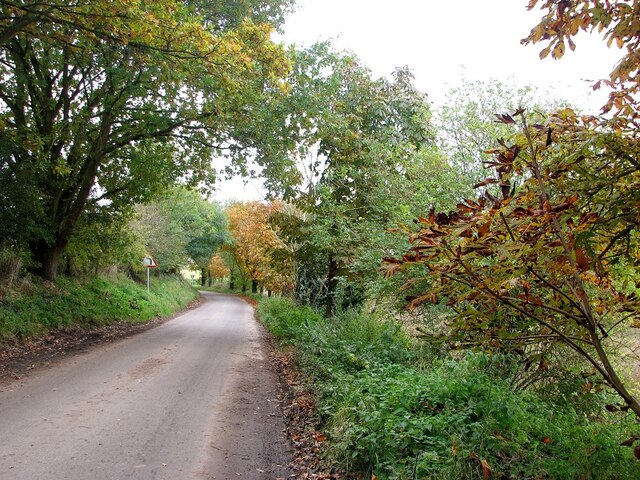
The woodland consists primarily of native broadleaf trees such as oak, beech, and ash, which form a dense canopy overhead. Additionally, there are several areas of open meadows and ponds scattered throughout, adding to the overall charm and variety of the landscape. The forest floor is carpeted with an assortment of wildflowers, ferns, and mosses, creating a vibrant and colorful undergrowth.

The diverse range of wildlife found in Carver's Carr is a testament to its ecological significance. Visitors may spot a variety of bird species, including woodpeckers, owls, and warblers, as well as small mammals like squirrels, rabbits, and foxes. The forest is also home to elusive creatures such as badgers and deer, which can occasionally be observed in their natural habitat.

Carver's Carr offers numerous walking trails and paths, allowing visitors to explore and immerse themselves in the serene surroundings. The forest is equipped with informative signposts and interpretation boards, providing educational opportunities about the local flora and fauna. Additionally, there are designated picnic areas and benches where visitors can relax and enjoy the peaceful ambiance.

Overall, Carver's Carr is a haven of tranquility and natural beauty, offering a unique and enriching experience for all who venture into its woodlands.

If you have any feedback on the listing, please let us know in the comments section below.

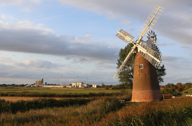
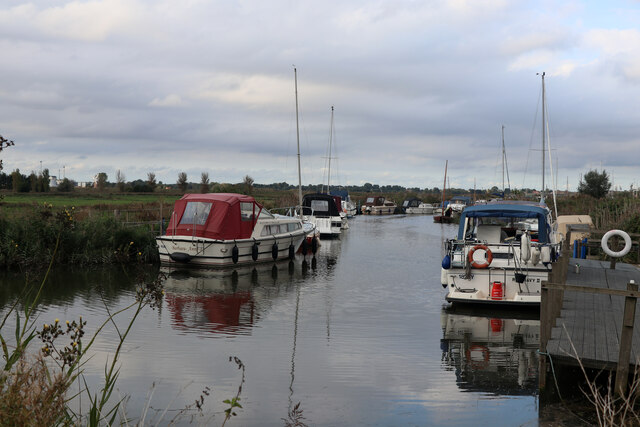
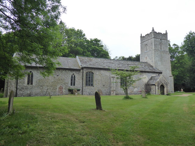
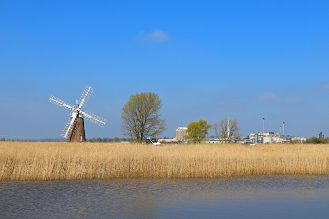
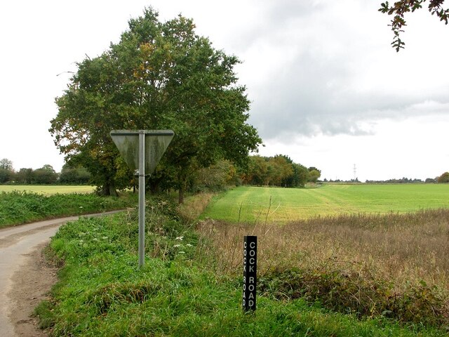
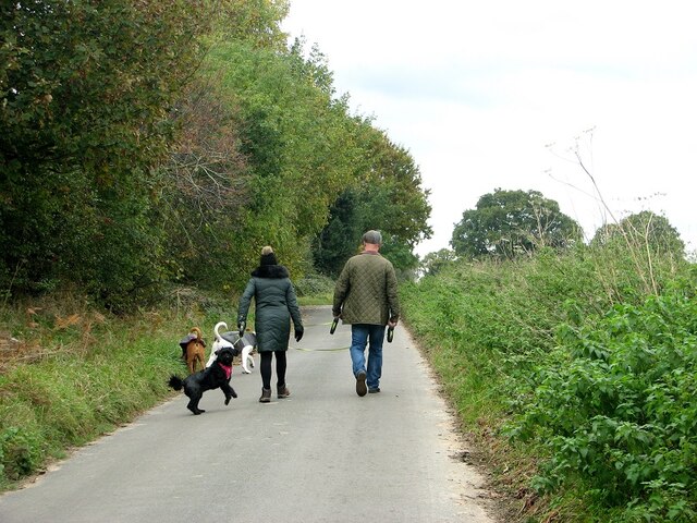
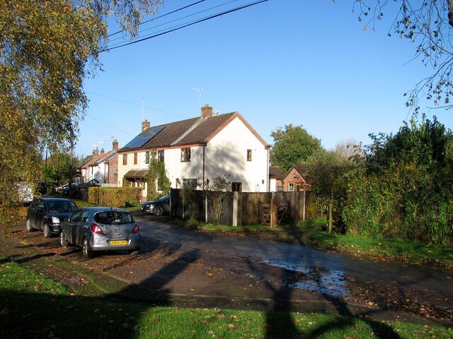
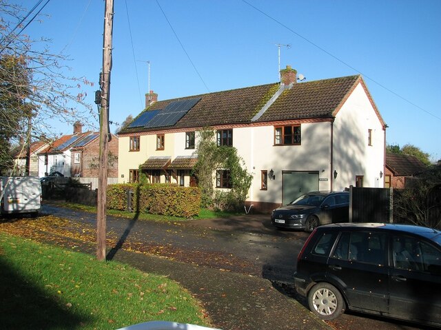
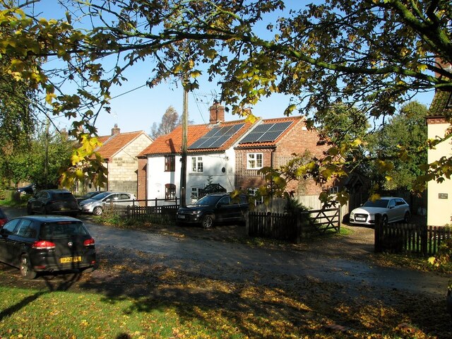
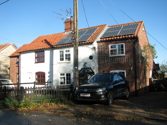
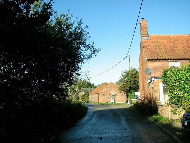
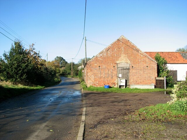
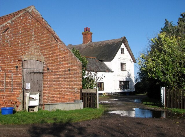
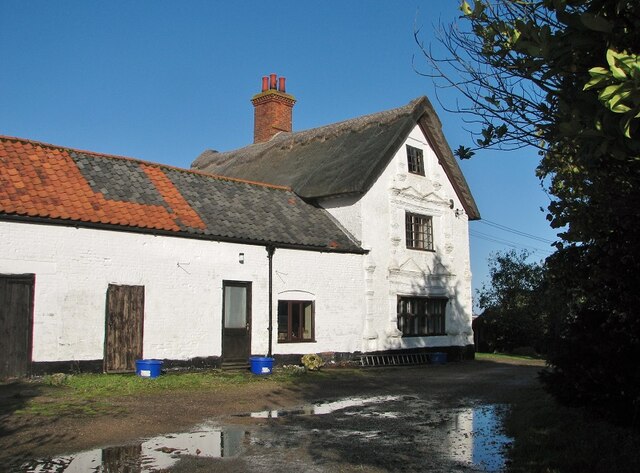
Carver's Carr Images

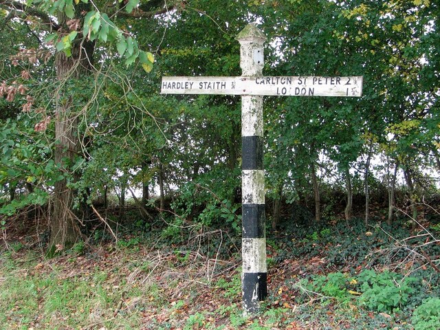
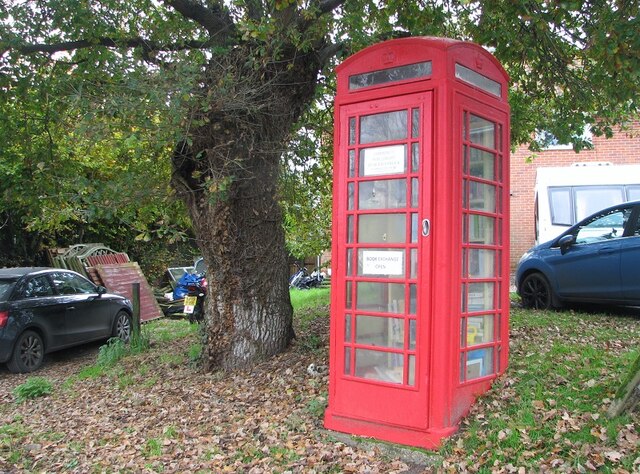
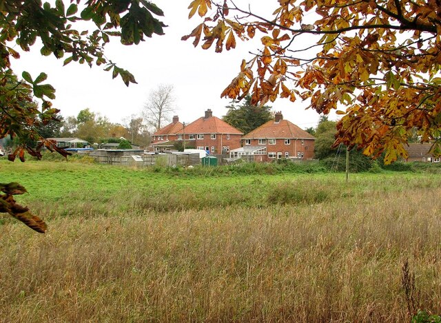
Images are sourced within 2km of 52.558008/1.4984569 or Grid Reference TG3701. Thanks to Geograph Open Source API. All images are credited.

Hardley Windpump and Cantley Sugar Mill A juxtaposition of old and new technologies.
Hardley Windpump and Cantley Sugar Mill
A juxtaposition of old and new technologies.
Hardley Staithe A branckh off the River Yare in Norfolk.
Hardley Staithe
A branckh off the River Yare in Norfolk.
Langley, St Michael
Langley, St Michael
Hardley Mill Historic and operational windmill near Cantley.
Hardley Mill
Historic and operational windmill near Cantley.
Old road sign by the junction The sign stands at the junction of Hardley Street, Hardley Road and Cross Stone Road
Old road sign by the junction
The sign stands at the junction of Hardley Street, Hardley Road and Cross Stone Road
Telephone kiosk converted to local book exchange
Cross Stone Road to Chedgrave
Houses in Hardley Road
View along Cock Road The road is named after a long closed pub   >  <a title="https://www.geograph.org.uk/photo/5892686" href="https://www.geograph.org.uk/photo/5892686">Link</a> which used to be located alongside it.
View along Cock Road
The road is named after a long closed pub > Link which used to be located alongside it.
Dog walkers on Cross Stone Road
Hardley Road, The Old Forge The building's name indicates that it once used to be the hamlet's forge.
Hardley Road, The Old Forge
The building's name indicates that it once used to be the hamlet's forge.
The Old Forge in Hardley Road Converted into two private dwellings.
The Old Forge in Hardley Road
Converted into two private dwellings.
Cottages in Hardley Road
35 Hardley Road
35 Hardley Road
Hardley Road past Chestnut Farm
Outbuildings by Chestnut Farm Note the honesty stall.
Outbuildings by Chestnut Farm
Note the honesty stall.
Entrance to Chestnut Farm
Chestnut Farm, the farm house This farmhouse dates from the 17th century and later.  It is of colourwashed brick and has 
 thatched and pantiled roofs, two storeys and an attic.   The windows have six lights with ovolo moulded mullions and transoms and iron casements in raised an moulded brick surround, with banded pilasters with knopped finials and twin bases.   The building is Grade II listed.
Chestnut Farm, the farm house
This farmhouse dates from the 17th century and later. It is of colourwashed brick and has thatched and pantiled roofs, two storeys and an attic. The windows have six lights with ovolo moulded mullions and transoms and iron casements in raised an moulded brick surround, with banded pilasters with knopped finials and twin bases. The building is Grade II listed.
Show me another place!

Carver's Carr is located at Grid Ref: TG3701 (Lat: 52.558008, Lng: 1.4984569)

Administrative County: Norfolk

District: South Norfolk

Police Authority: Norfolk

What 3 Words

///budget.cuddling.mouth. Near Loddon, Norfolk

Nearby Locations

Carver's Carr

Related Wikis

Poplar Farm Meadows, Langley

Poplar Farm Meadows, Langley is a 7.5-hectare (19-acre) biological Site of Special Scientific Interest east of Loddon in Norfolk. It is part of the Broadland...

Langley with Hardley

Langley with Hardley is a parish in the county of Norfolk, England, about a mile east of Loddon. It covers an area of 15.09 km2 (5.83 sq mi) and had a...

Wherryman's Way

Wherryman's Way is a long-distance footpath in the English county of Norfolk. == Route == Wherryman's Way is 35 miles (56 km) long, running between Norwich...

Langley Abbey

Langley Abbey was an abbey of Premonstratensian Canons in Langley Green, now in the civil parish of Langley with Hardley, Norfolk, England. The monastery...

Nearby Amenities

Located within 500m of 52.558008,1.4984569
Bus Stop
Whitethorns, adj
Naptan AtcoCode: 2900L027
Naptan Bearing: SE
Naptan BusStopType: CUS
Naptan CommonName: Whitethorns
Naptan Indicator: adj
Naptan Landmark: Whitethorns
Naptan Locality: Langley Street
Naptan NaptanCode: nfodatwd
Naptan Street: Hardley Road
Naptan Verified: no
Source: naptan_import
Lat/Long: 52.554581/1.4995706
Bus Stop
Housing Estate, adj
Naptan AtcoCode: 2900L028
Naptan Bearing: NW
Naptan CommonName: Housing Estate
Naptan Indicator: adj
Naptan Landmark: Housing Estate
Naptan Locality: Langley Street
Naptan NaptanCode: nfodatwg
Naptan Street: Hardley Road
Naptan Verified: no
Source: naptan_import
Lat/Long: 52.5541312/1.4999009
Hardley / Langley
Alt Name: Langley
Inscription: Langley with Hardley village sign erected by parishioners / Unveiled by Mrs. Elsie Gillingwater of Langley / Mrs. Gladys Knights of Hardley / 11 3 88
Man Made: village_sign
Material: wood
Short Name: Hardley
Start Date: 1988-03-11
Lat/Long: 52.5543365/1.4996883
Bench
Backrest: yes
Colour: brown
Seats: 3
Lat/Long: 52.5543826/1.4995935
Chestnut Farm
Shop: farm
Lat/Long: 52.5563966/1.4985302
Public Bookcase
Booth: K6
Disused Amenity: telephone
Man Made: telephone_box
Public Bookcase Type: phone_box
Lat/Long: 52.5539373/1.5003004
The data included in this document is from www.openstreetmap.org. The data is made available under ODbL.

Have you been to Carver's Carr?

Leave your review of Carver's Carr below (or comments, questions and feedback).