Half Round Plantation
Wood, Forest in Norfolk Broadland
England
Half Round Plantation
Half Round Plantation, located in Norfolk, is a picturesque woodland area renowned for its unique half-round shape. This enchanting forest spans an impressive area and is home to a diverse range of flora and fauna, making it a popular destination for nature enthusiasts and hikers alike.
The plantation gets its name from the distinctive curvature of its boundaries, forming a perfect semicircle. This natural feature has captivated visitors for centuries, adding to the allure of the woodland. The plantation boasts a rich history, dating back to the 18th century when it was first established as a timber reserve.
The forest is predominantly composed of deciduous trees, such as oak, beech, and maple, creating a vibrant tapestry of colors throughout the changing seasons. These trees provide a habitat for a multitude of wildlife species, including deer, foxes, squirrels, and a wide array of bird species.
Visitors to Half Round Plantation can enjoy a variety of recreational activities. There are well-maintained trails that wind through the woodland, allowing visitors to explore its beauty on foot or by bicycle. The serene atmosphere and tranquility of the plantation make it an ideal spot for picnics, birdwatching, or simply unwinding amidst nature.
Maintained and protected by local conservation authorities, Half Round Plantation offers a valuable ecosystem for both native flora and fauna. Its unique shape, combined with its natural beauty and recreational opportunities, has made it a cherished destination for nature lovers and a vital part of Norfolk's natural heritage.
If you have any feedback on the listing, please let us know in the comments section below.
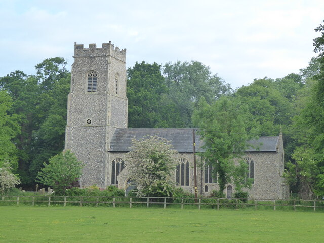
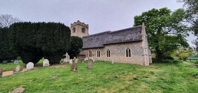
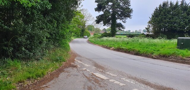
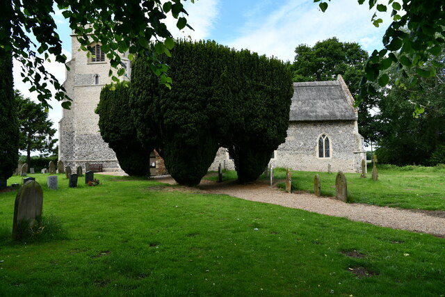
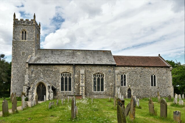
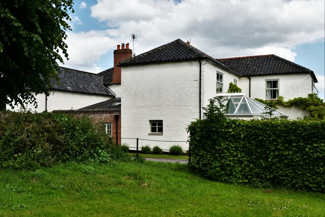
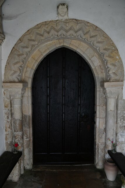
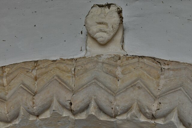
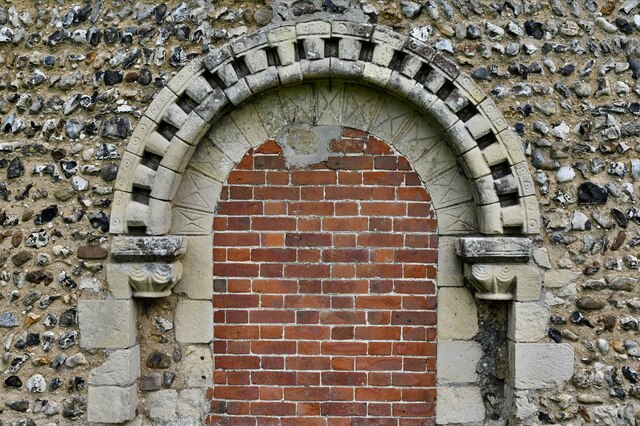
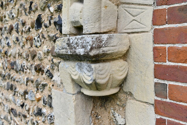
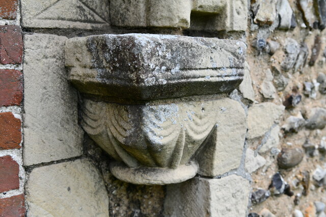
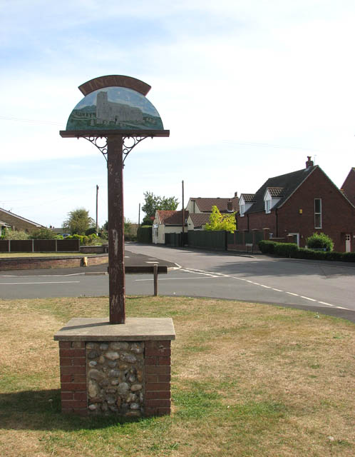
Half Round Plantation Images
Images are sourced within 2km of 52.63567/1.5043454 or Grid Reference TG3709. Thanks to Geograph Open Source API. All images are credited.


Half Round Plantation is located at Grid Ref: TG3709 (Lat: 52.63567, Lng: 1.5043454)
Administrative County: Norfolk
District: Broadland
Police Authority: Norfolk
What 3 Words
///engrossed.dinosaur.solicitor. Near Lingwood, Norfolk
Nearby Locations
Related Wikis

Lingwood and Burlingham
Lingwood and Burlingham is a civil parish in the English county of Norfolk, comprising the large village of Lingwood together with the smaller villages...

Lingwood railway station
Lingwood railway station is on the Wherry Lines in the east of England, serving the village of Lingwood, Norfolk. It is 7 miles 78 chains (12.8 km) down...
Lingwood
Lingwood is a village and former civil parish, 8 miles (13 km) east of Norwich, now in the parish of Lingwood and Burlingham, in the Broadland district...

Beighton, Norfolk
Beighton is a village and civil parish in the Broadland district of Norfolk, England, about two miles (3 km) South-West of Acle about 12.8 miles (20.6...
Nearby Amenities
Located within 500m of 52.63567,1.5043454Have you been to Half Round Plantation?
Leave your review of Half Round Plantation below (or comments, questions and feedback).