Alder Carr
Wood, Forest in Norfolk North Norfolk
England
Alder Carr
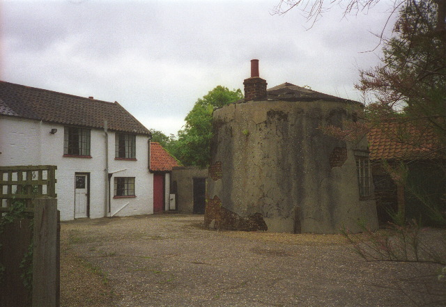
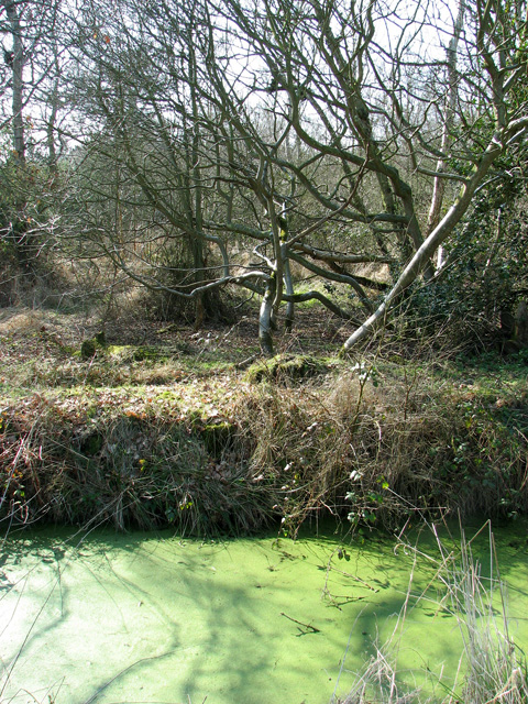
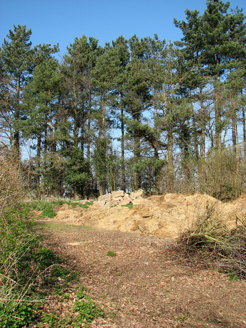
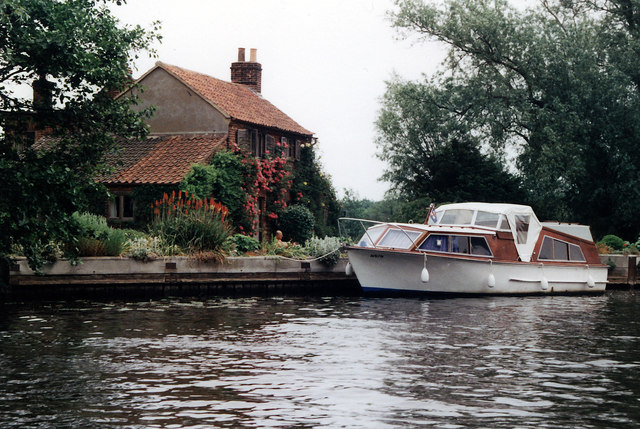
Alder Carr in Norfolk, England, is a picturesque wood that spans across an area of approximately 50 acres. Located near the village of Woodton, this enchanting forest is renowned for its diverse and abundant flora and fauna. The forest is primarily composed of alder trees, which thrive in the wet and marshy conditions of the area.
The dense canopy of alder trees provides a cool and shaded environment, making it a popular destination for nature enthusiasts and hikers. The forest floor is covered in a carpet of lush green mosses, ferns, and wildflowers, creating a vibrant and visually appealing landscape.
Alder Carr is also home to a variety of wildlife species. Birdwatchers can spot numerous avian inhabitants, including woodpeckers, owls, and warblers. The wetland areas within the forest attract a plethora of water-loving creatures, such as ducks, herons, and dragonflies. Lucky visitors may even catch a glimpse of elusive mammals like deer or foxes.
The wood boasts several well-maintained walking trails that wind through its scenic pathways, allowing visitors to explore its natural wonders at their own pace. Interpretive signs along the trails provide information about the different plant and animal species found in the forest, enhancing the educational value of the experience.
Alder Carr is a true gem for nature lovers, offering a serene and tranquil escape from the hustle and bustle of everyday life. Its rich biodiversity and stunning landscapes make it a must-visit destination for anyone seeking a peaceful and immersive encounter with the wonders of the natural world.
If you have any feedback on the listing, please let us know in the comments section below.
Alder Carr Images
Images are sourced within 2km of 52.750271/1.5110688 or Grid Reference TG3722. Thanks to Geograph Open Source API. All images are credited.


Alder Carr is located at Grid Ref: TG3722 (Lat: 52.750271, Lng: 1.5110688)
Administrative County: Norfolk
District: North Norfolk
Police Authority: Norfolk
What 3 Words
///interests.ridiculed.intestine. Near Stalham, Norfolk
Nearby Locations
Related Wikis
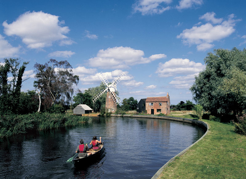
Hunsett Mill
Hunsett Mill is located on the east bank of the River Ant one mile north of Barton Broad in the English county of Norfolk. The Windmill is 1.2 miles south...

Ant Broads and Marshes
Ant Broads and Marshes is a 745.3-hectare (1,842-acre) biological Site of Special Scientific Interest north-east of Norwich in Norfolk. Most of it is a...

Catfield Fen Reserve
Catfield Fen is a wetland nature reserve near Ludham in the county of Norfolk, England. Butterfly Conservation owns and manages part of this reserve. Part...
Sutton Staithe Halt railway station
Sutton Staithe Halt was a railway station on the Midland and Great Northern Joint Railway which was opened in 1933 to serve the holidaymakers visiting...
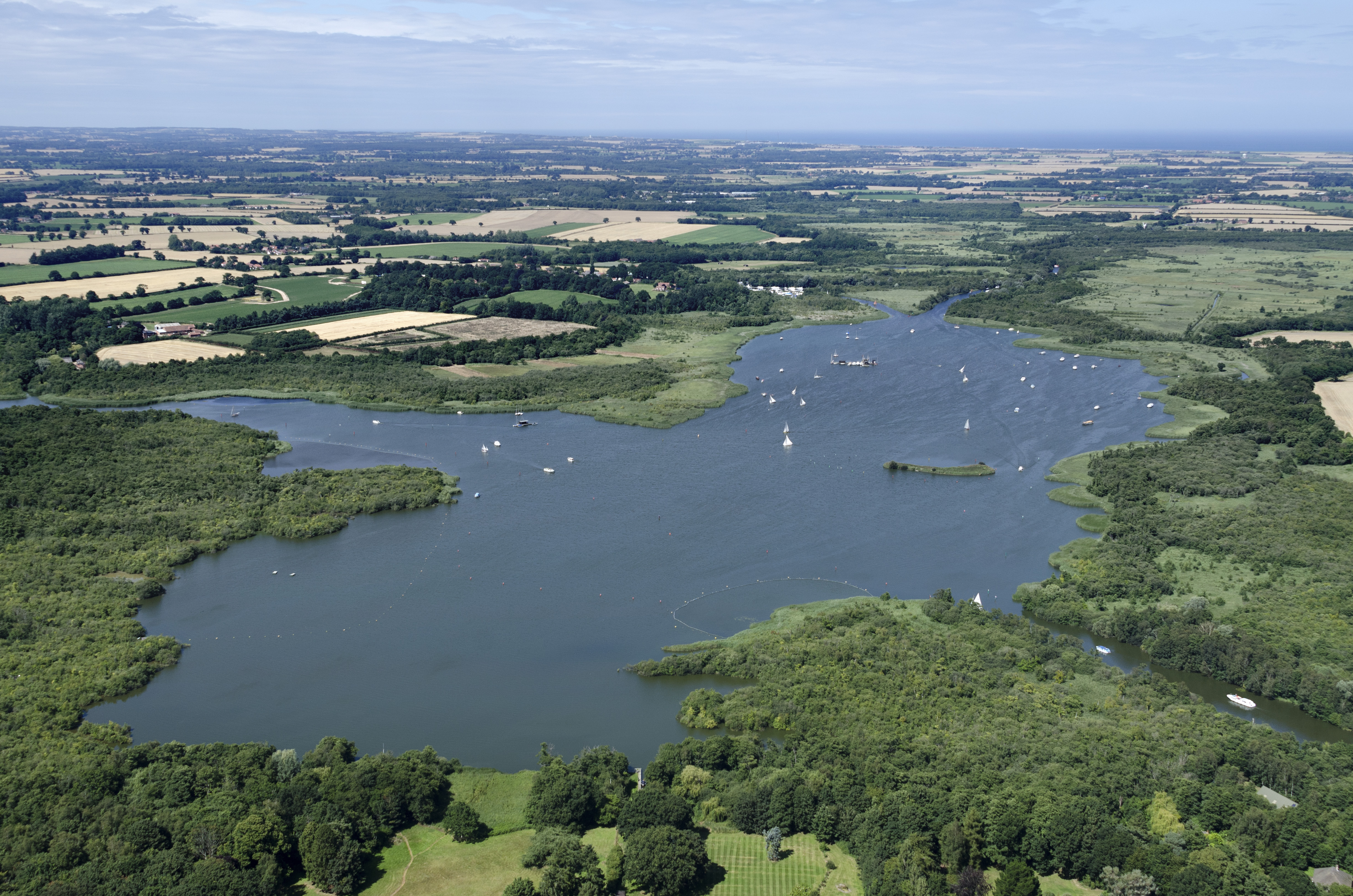
Barton Broad
Barton Broad is a large lake that forms part of the River Ant which gives its name to a 164-hectare (410-acre) nature reserve north-east of Norwich in...
Ant Broads & Marshes National Nature Reserve
Ant Broads & Marshes NNR is a national nature reserve in Norfolk, England established by English Nature. It is named after the River Ant. It is part of...
Catfield railway station
Catfield railway station was a station in Catfield, Norfolk. It closed in 1959. == References ==
Barton Turf
Barton Turf is a village and civil parish in the English county of Norfolk. It is 20 km north-east of the city of Norwich, on the northwestern edge of...
Nearby Amenities
Located within 500m of 52.750271,1.5110688Have you been to Alder Carr?
Leave your review of Alder Carr below (or comments, questions and feedback).