Crow's Nest Wood
Wood, Forest in Suffolk East Suffolk
England
Crow's Nest Wood

Crow's Nest Wood is a picturesque woodland located in Suffolk, England. Covering an area of approximately 35 hectares, this serene forest is situated near the village of Stowmarket. The wood is privately owned and managed by the Forestry Commission.
The woodland consists mainly of broadleaf trees, including oak, birch, and hazel, which create a diverse and vibrant ecosystem. The forest floor is adorned with a rich carpet of bluebells, wild garlic, and ferns during the spring and summer months, providing a breathtaking display of colors and scents.
Crow's Nest Wood is known for its tranquil atmosphere and is a popular destination for nature enthusiasts, walkers, and photographers. Nestled within the wood, a network of well-maintained footpaths allows visitors to explore and immerse themselves in the beauty of the surroundings.
The wood provides a habitat for various wildlife species, including deer, squirrels, badgers, and a wide range of bird species. Birdwatchers can spot woodpeckers, owls, and various songbirds while strolling through the wood.
The Forestry Commission takes great care in managing the woodland, ensuring the preservation of its natural beauty and biodiversity. This includes sustainable logging practices and the creation of designated areas for conservation.
Crow's Nest Wood is open to the public throughout the year, providing a serene escape from the hustle and bustle of everyday life. Whether it's a peaceful walk, birdwatching, or simply enjoying the tranquility of nature, this enchanting woodland offers a delightful experience for visitors of all ages.
If you have any feedback on the listing, please let us know in the comments section below.
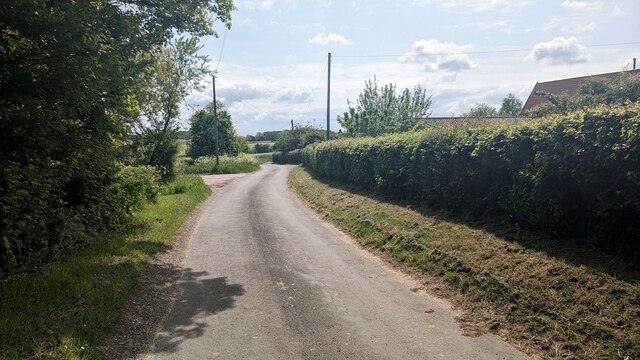
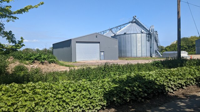
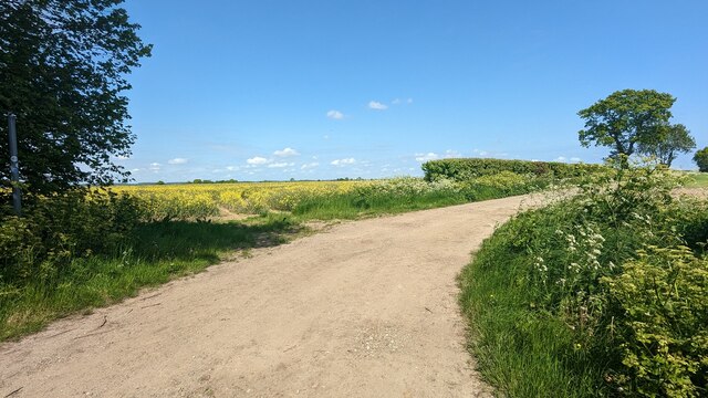
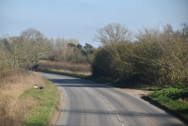
Crow's Nest Wood Images
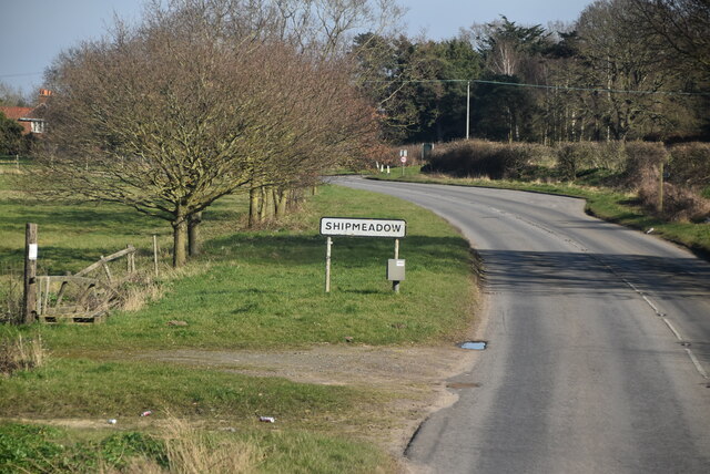
Images are sourced within 2km of 52.444714/1.4842541 or Grid Reference TM3688. Thanks to Geograph Open Source API. All images are credited.


Crow's Nest Wood is located at Grid Ref: TM3688 (Lat: 52.444714, Lng: 1.4842541)
Administrative County: Suffolk
District: East Suffolk
Police Authority: Suffolk
What 3 Words
///merit.birdcage.roosters. Near Bungay, Suffolk
Nearby Locations
Related Wikis
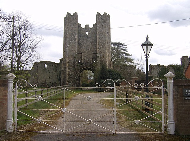
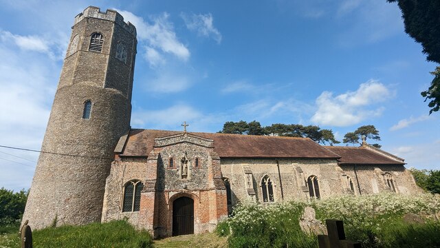
Mettingham College
Mettingham College was a monastic college in the parish of Mettingham in the English county of Suffolk. The college was located within Mettingham Castle...
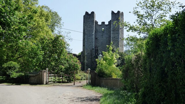
Mettingham Castle
Mettingham Castle was a fortified manor house in the parish of Mettingham in the north of the English county of Suffolk. == Details == Mettingham Castle...

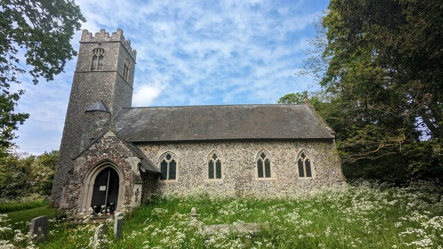
Ilketshall St John
Ilketshall St John is a village and civil parish in the East Suffolk district of the English county of Suffolk. It is 2 miles (3.2 km) south-east of the...

Mettingham
Mettingham is a village and civil parish in the north of the English county of Suffolk. It is 2 miles (3.2 km) east of the market town of Bungay in the...
Have you been to Crow's Nest Wood?
Leave your review of Crow's Nest Wood below (or comments, questions and feedback).