Carlton Covert
Wood, Forest in Suffolk East Suffolk
England
Carlton Covert

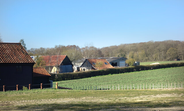
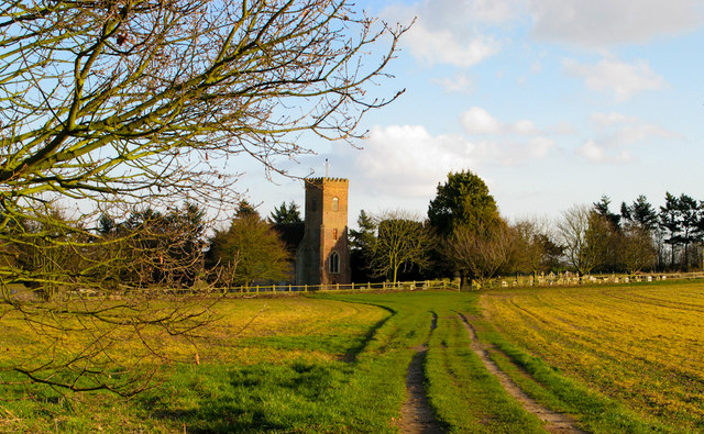
Carlton Covert, Suffolk is a small wood and forest area located in the eastern region of England. Situated in the county of Suffolk, this tranquil and picturesque location is known for its natural beauty and serene environment.
Covering an area of approximately 200 acres, Carlton Covert is predominantly comprised of dense woodland, interspersed with patches of open meadows and clearings. The forest is home to a diverse range of flora and fauna, making it an ideal destination for nature lovers and wildlife enthusiasts. Visitors can expect to find a variety of trees such as oak, beech, and birch, creating a vibrant and lush canopy overhead.
The woodland also boasts an extensive network of footpaths and trails, allowing visitors to explore the area on foot or by bike. These well-maintained paths offer breathtaking views of the surrounding countryside, making it a popular spot for hiking and outdoor activities.
In addition to its natural beauty, Carlton Covert also holds historical significance. The forest has been the site of various archaeological discoveries, including ancient settlements and burial mounds dating back to the Neolithic and Bronze Age periods. These findings provide a glimpse into the rich and fascinating history of the area.
Overall, Carlton Covert, Suffolk offers a peaceful retreat for those seeking solace in nature. With its lush woodlands, diverse wildlife, and historical significance, this enchanting forest is a must-visit destination for both locals and tourists alike.
If you have any feedback on the listing, please let us know in the comments section below.
Carlton Covert Images
Images are sourced within 2km of 52.238031/1.4576845 or Grid Reference TM3665. Thanks to Geograph Open Source API. All images are credited.


Carlton Covert is located at Grid Ref: TM3665 (Lat: 52.238031, Lng: 1.4576845)
Administrative County: Suffolk
District: East Suffolk
Police Authority: Suffolk
What 3 Words
///scorch.chum.mess. Near Saxmundham, Suffolk
Nearby Locations
Related Wikis

Rendham
Rendham is a village and civil parish on the B1119 road, in the East Suffolk district, in the English county of Suffolk. It is near the town Saxmundham...
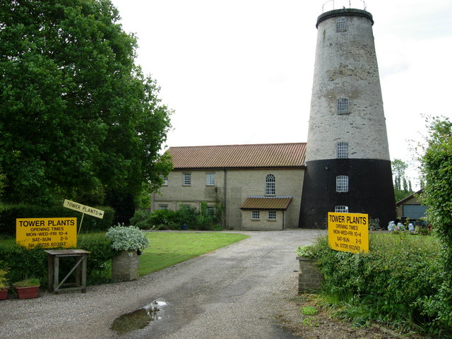
Skoulding's Mill
Skoulding's Mill is a Grade II listed tower mill at Kelsale, Suffolk, England which has been converted to residential accommodation. == History == Skoulding...

Sweffling
Sweffling is a village and a civil parish in the East Suffolk district, in the county of Suffolk, England. Nearby settlements include the town of Saxmundham...
Kelsale
Kelsale is a village and former civil parish, now in the parish of Kelsale cum Carlton, in the East Suffolk district, in the county of Suffolk, England...
Kelsale cum Carlton
Kelsale cum Carlton is a civil parish in the English county of Suffolk. Situated to the north of Saxmundham, Kelsale cum Carlton is one of the largest...

Bruisyard Abbey
The Abbey of Bruisyard was a house of Minoresses (Poor Clares) at Bruisyard in Suffolk. It was founded from Campsey Priory in Suffolk on the initiative...
Carlton, Suffolk
Carlton is a village and former civil parish, now in the parish of Kelsale cum Carlton, in the East Suffolk district, in the county of Suffolk, England...
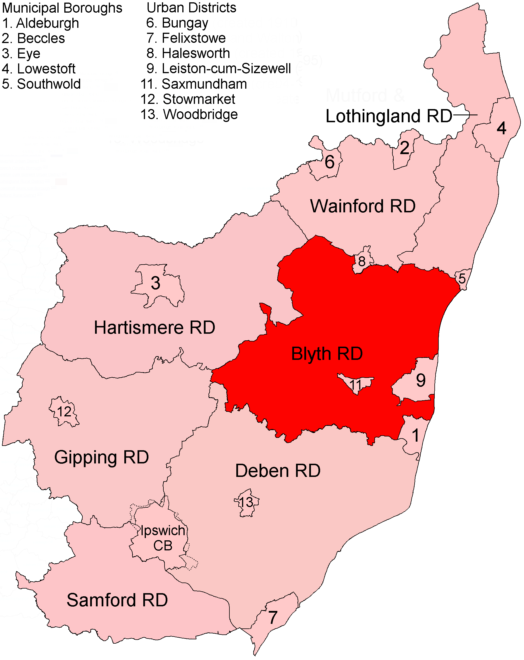
Blyth Rural District
Blyth Rural District was a rural district in East Suffolk, England, between 1934 and 1974. The rural district was formed by the merger of parts of Blything...
Have you been to Carlton Covert?
Leave your review of Carlton Covert below (or comments, questions and feedback).