Foxboro' Plantation
Wood, Forest in Norfolk Broadland
England
Foxboro' Plantation

Foxboro Plantation is a historic and picturesque woodland located in Norfolk County, Massachusetts. Situated in the town of Foxborough, the plantation spans over a sizeable area with a diverse range of flora and fauna. The wood is known for its dense forest cover and is often referred to as Foxboro Forest.
The plantation boasts a rich history, dating back to the early settlement of the region. Originally inhabited by the indigenous Wampanoag people, the area was later colonized by European settlers in the 17th century. The plantation's name, Foxboro, is derived from the town's early settlers, the Fox family.
The woodland is characterized by a mix of deciduous and coniferous trees, creating a vibrant and colorful landscape throughout the seasons. The dominant tree species include oak, maple, pine, and birch, which provide a habitat for a wide variety of wildlife. Foxboro Plantation is home to numerous species of birds, small mammals, and reptiles, making it a popular destination for birdwatching and nature enthusiasts.
The woodland offers a range of recreational activities for visitors. Well-maintained hiking trails wind through the plantation, allowing visitors to explore the natural beauty and tranquility of the area. These trails are also utilized for biking and horseback riding, providing a unique opportunity to experience the plantation from different perspectives.
Furthermore, the plantation is committed to conservation efforts, ensuring the preservation of its natural resources. Foxboro Plantation serves as an important ecological sanctuary, contributing to the overall biodiversity of the region.
In summary, Foxboro Plantation in Norfolk County, Massachusetts, is a historically significant woodland, offering a haven for nature lovers and outdoor enthusiasts. With its diverse range of flora and fauna, well-maintained trails, and commitment to conservation, it is a cherished natural asset of the region.
If you have any feedback on the listing, please let us know in the comments section below.
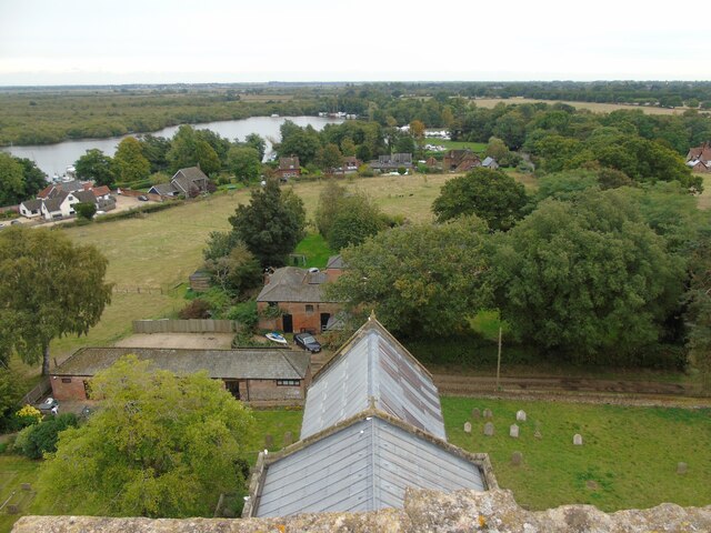
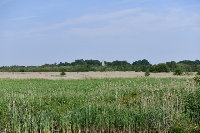
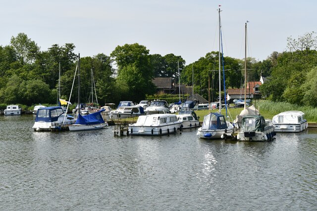
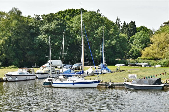
Foxboro' Plantation Images
Images are sourced within 2km of 52.667495/1.4868326 or Grid Reference TG3513. Thanks to Geograph Open Source API. All images are credited.


Foxboro' Plantation is located at Grid Ref: TG3513 (Lat: 52.667495, Lng: 1.4868326)
Administrative County: Norfolk
District: Broadland
Police Authority: Norfolk
What 3 Words
///sprinkler.exposing.waitress. Near Horning, Norfolk
Nearby Locations
Related Wikis

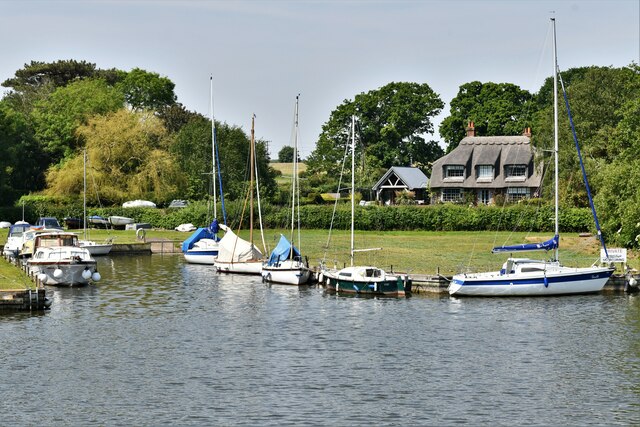
South Walsham
South Walsham is a village and civil parish in the English county of Norfolk. It covers an area of 11.43 km2 (4.41 sq mi) and had a population of 738 in...
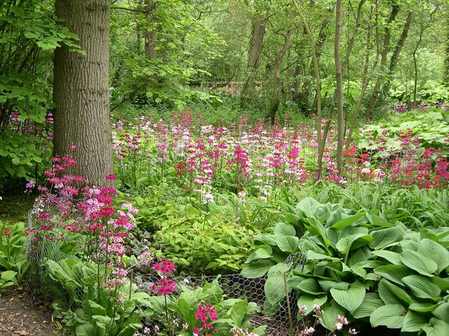
Fairhaven Woodland and Water Garden
Fairhaven Woodland and Water Garden, Norfolk, England, is a registered charity, comprising 131 acres (0.53 km2) of ancient woodland, woodland garden and...

South Walsham Fen
South Walsham Fen is a 1.4-hectare (3.5-acre) Local Nature Reserve west of South Walsham in Norfolk. It is owned and managed by Norfolk County Council...
Ranworth
Ranworth is a village in Norfolk, England in The Broads, adjacent to Malthouse Broad and Ranworth Broad. It is located in the civil parish of Woodbastwick...
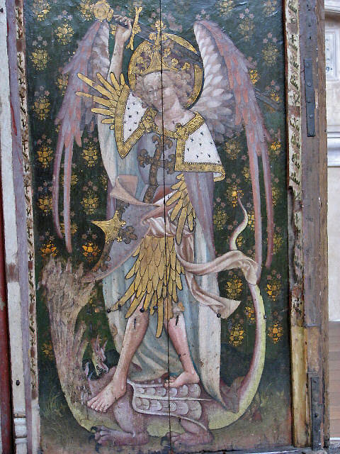
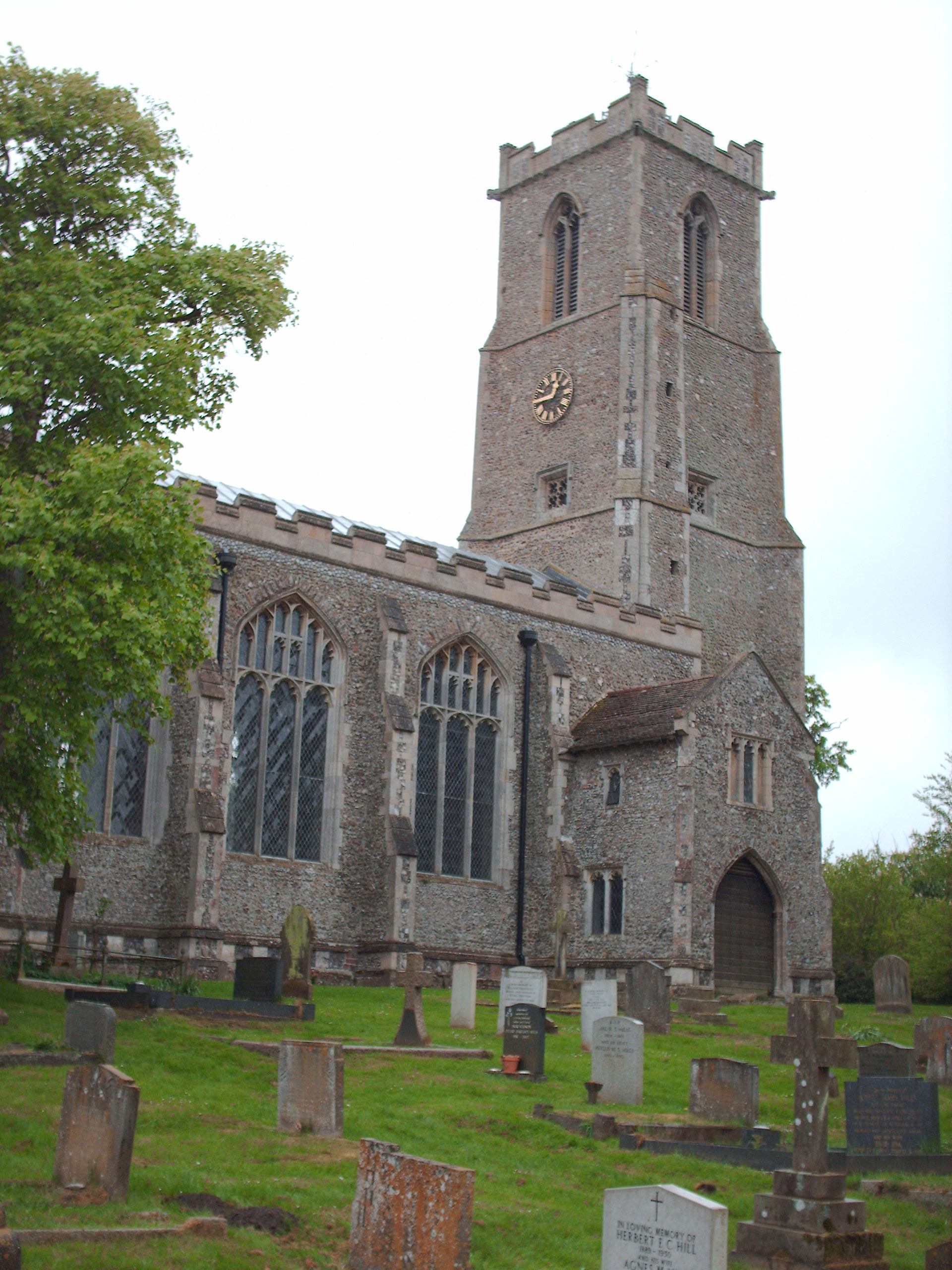
Church of St Helen, Ranworth
The Church of St Helen, Ranworth, Norfolk is a church of medieval origins notable for its collection of church paintings. Known as "the cathedral of The...

Malthouse Broad
Malthouse Broad is a broad (i.e., lake) at Ranworth in the Norfolk Broads. The "Helen of Ranworth" is a traditional reedlighter, a boat that carried away...

Ranworth Broad
Ranworth Broad is a 136-hectare (340-acre) nature reserve on the Norfolk Broads north-east of Norwich in Norfolk, United Kingdom. It is managed by the...
Hemblington
Hemblington is a civil parish in the English county of Norfolk, about 8 miles (13 km) east of Norwich. It covers an area of 3.03 km2 (1.17 sq mi) and had...
Have you been to Foxboro' Plantation?
Leave your review of Foxboro' Plantation below (or comments, questions and feedback).