Coalpit Wood

Wood, Forest in Suffolk East Suffolk

England

Coalpit Wood

Field Cottage Set in farmland near Jolly's Farm.
Field Cottage Credit: JThomas

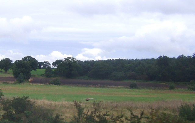
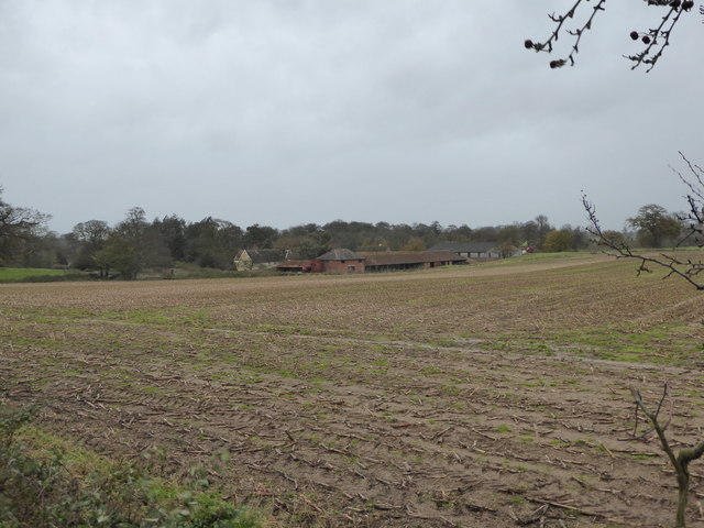
Coalpit Wood is a charming woodland located in Suffolk, England. Situated in the heart of the county, this forested area covers approximately 20 acres and offers a serene and tranquil setting for visitors to enjoy.

The wood is predominantly composed of deciduous trees, including oak, beech, and hazel. These trees create a thick canopy that provides shade and shelter for a variety of wildlife species that call this woodland home. The forest floor is carpeted with a diverse range of flora, such as bluebells, primroses, and wild garlic, which add vibrant splashes of color throughout the seasons.

Coalpit Wood is a popular destination for nature enthusiasts, hikers, and photographers alike. The network of well-maintained trails meandering through the woodland provides ample opportunity for exploration and discovery. Visitors can enjoy leisurely walks, birdwatching, or simply soak in the peaceful ambiance of this idyllic woodland.

The wood is also of historical significance, as its name suggests. In the past, it was used as a coal mining site, providing fuel for the local community. Evidence of this industrial activity can still be found within the wood, with remnants of old coal pits adding an intriguing dimension to its landscape.

Overall, Coalpit Wood in Suffolk is a hidden gem that offers a chance to escape the hustle and bustle of everyday life and immerse oneself in the beauty of nature. Whether for a leisurely stroll or a moment of reflection, this woodland provides a peaceful retreat for all who visit.

If you have any feedback on the listing, please let us know in the comments section below.
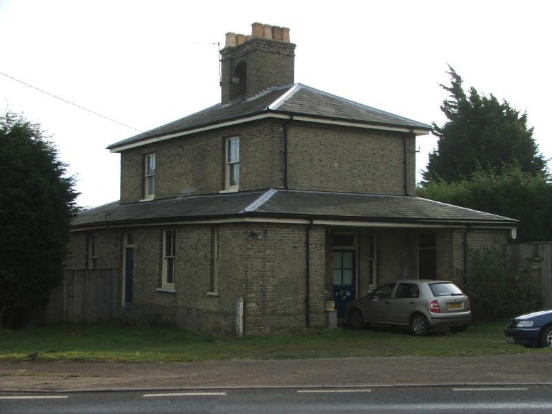
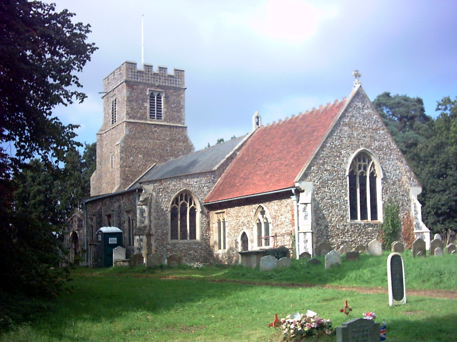
Coalpit Wood Images

Images are sourced within 2km of 52.161133/1.4332438 or Grid Reference TM3456. Thanks to Geograph Open Source API. All images are credited.

Field Cottage Set in farmland near Jolly's Farm.
Field Cottage
Set in farmland near Jolly's Farm.
Stubble field near Blaxhall
Farmland near Blaxhall Hall
The Blaxhall Stone A nearby information sign <a href="https://www.geograph.org.uk/photo/4297025">TM3556 : Information Sign</a> reads "Said to have been ploughed up in the 19th century when no bigger than two fists, thrown down by the ploughman where it now stands, it has been growing ever since". According to <span class="nowrap"><a title="http://www.megalithia.com/sites/tm351565.html" rel="nofollow ugc noopener" href="http://www.megalithia.com/sites/tm351565.html">Link</a><img style="margin-left:2px;" alt="External link" title="External link - shift click to open in new window" src="https://s1.geograph.org.uk/img/external.png" width="10" height="10"/></span> this glacial erratic weighs five tons and comes from a parent mass in Spilsby, Lincolnshire.
The Blaxhall Stone
A nearby information sign TM3556 : Information Sign reads "Said to have been ploughed up in the 19th century when no bigger than two fists, thrown down by the ploughman where it now stands, it has been growing ever since". According to LinkExternal link this glacial erratic weighs five tons and comes from a parent mass in Spilsby, Lincolnshire.
Blackstock Barn, Stone Farm, Blaxhall
Thatched cottages
Thatched cottages
View across the fields to Blaxhall Hall
Cottages at Stone Common, Blaxhall
Saxon interlace A piece of pre-Conquest sculpture set in the west wall of St Peter's Church.
Saxon interlace
A piece of pre-Conquest sculpture set in the west wall of St Peter's Church.
West doorway of St Peter's Church Pevsner, touring Suffolk in 1961, described this as "pretty": "Hook mould with fleurons, spandrels with an angel and a monster-head.  Quatrefoil frieze in flushwork over."
West doorway of St Peter's Church
Pevsner, touring Suffolk in 1961, described this as "pretty": "Hook mould with fleurons, spandrels with an angel and a monster-head. Quatrefoil frieze in flushwork over."
St Peter's Church and churchyard The top of the tower has been repaired in brick.  The churchyard is kept tidy by grazing sheep.
St Peter's Church and churchyard
The top of the tower has been repaired in brick. The churchyard is kept tidy by grazing sheep.
Sing we merrily Early 20th-century stained glass window in the north porch of St Peter's Church, designed and executed by members of the local Rope family (Pevsner ascribes it to Ellen Mary Rope who died in 1934).  The text is from a version of the beginning of Psalm 81.
Sing we merrily
Early 20th-century stained glass window in the north porch of St Peter's Church, designed and executed by members of the local Rope family (Pevsner ascribes it to Ellen Mary Rope who died in 1934). The text is from a version of the beginning of Psalm 81.
Churchyard sheep A woolly trio at St Peter's, whose task is to keep the churchyard grass short.  On one of the first hot days of the year they must have been relieved to have been just shorn!
Churchyard sheep
A woolly trio at St Peter's, whose task is to keep the churchyard grass short. On one of the first hot days of the year they must have been relieved to have been just shorn!
St Peter's Church open for you! A cut-out figure of a shepherd with smock, crook and balloons - perhaps it is St Peter himself, who was given the task of feeding Christ's sheep?  Appropriately, self-service refreshments were laid out in the church for visitors hungry or thirsty on this hot afternoon, and the churchyard was being grazed by a number of sheep.
St Peter's Church open for you!
A cut-out figure of a shepherd with smock, crook and balloons - perhaps it is St Peter himself, who was given the task of feeding Christ's sheep? Appropriately, self-service refreshments were laid out in the church for visitors hungry or thirsty on this hot afternoon, and the churchyard was being grazed by a number of sheep.
Little Glemham village
Keepers Lane at the junction of the A12 The house was sold towards the end of 2016 with the fence added since.
Keepers Lane at the junction of the A12
The house was sold towards the end of 2016 with the fence added since.
Blaxhall War Memorial Blaxhall War Memorial bears the names of 14 men from WW1 and of four from WW2.
Their details can be seen here: <span class="nowrap"><a title="http://media.geograph.org.uk/files/fe9fc289c3ff0af142b6d3bead98a923/BLAXHALL_War_Memorial.pdf" rel="nofollow ugc noopener" href="http://media.geograph.org.uk/files/fe9fc289c3ff0af142b6d3bead98a923/BLAXHALL_War_Memorial.pdf">Link</a><img style="margin-left:2px;" alt="External link" title="External link - shift click to open in new window" src="https://s1.geograph.org.uk/img/external.png" width="10" height="10"/></span>
Blaxhall War Memorial
Blaxhall War Memorial bears the names of 14 men from WW1 and of four from WW2. Their details can be seen here: LinkExternal link
Beversham Mill, from a passing train The former mill is now a private residence.
Beversham Mill, from a passing train
The former mill is now a private residence.
Show me another place!

Coalpit Wood is located at Grid Ref: TM3456 (Lat: 52.161133, Lng: 1.4332438)

Administrative County: Suffolk

District: East Suffolk

Police Authority: Suffolk

What 3 Words

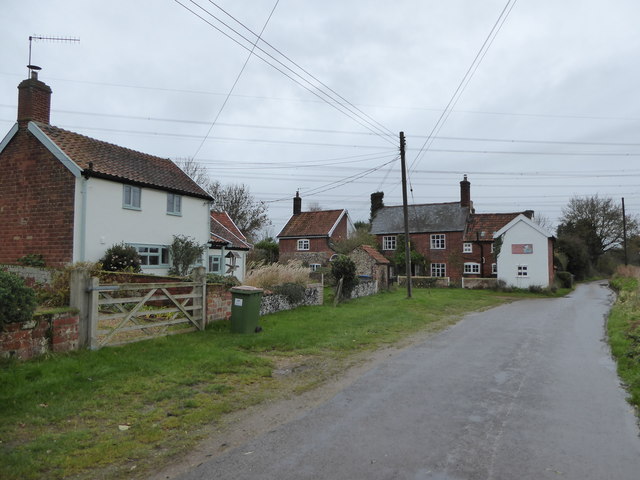
///tent.shrug.nuptials. Near Rendlesham, Suffolk

Nearby Locations

Coalpit Wood

Related Wikis

Plomesgate Rural District

Plomesgate Rural District was a rural district within the administrative county of East Suffolk between 1894 and 1934. == History == The district had...

Little Glemham

Little Glemham is a small village on the A12 road, in the East Suffolk district, in the county of Suffolk, England. The population of the parish at the...
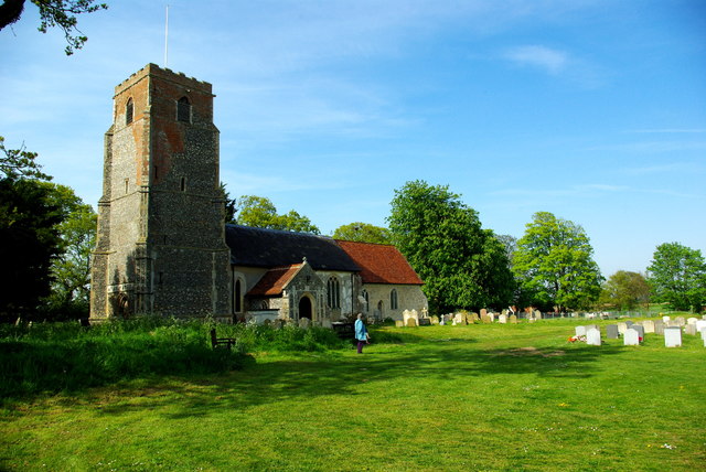
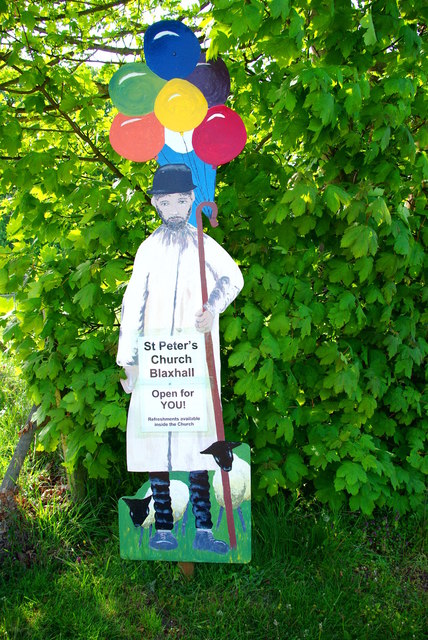
Blaxhall

Blaxhall is a village and civil parish in the East Suffolk district of the English county of Suffolk. Located around 8 miles (13 km) south-west of Leiston...

Campsea Ashe

Campsea Ashe (sometimes spelt Campsey Ash) is a village in Suffolk, England located approximately 5 miles (8 km) north east of Woodbridge and 6 miles...

Glemham Hall

Glemham Hall is an Elizabethan stately home, set in around 300 acres (120 ha) of park land on the outskirts of the village of Little Glemham in Suffolk...

Tunstall, Suffolk

On an Ordnance Survey map of Suffolk, England, there are two settlements named Tunstall next to each other, 7.5 miles (12.1 km) north east of Woodbridge...

Marlesford railway station

Marlesford railway station was a station located in Marlesford, Suffolk. It closed in 1952.The station was served by trains that operated between Framlingham...

Marlesford

Marlesford is a village and civil parish in the East Suffolk district of Suffolk, England. The population of the civil parish at the 2011 Census was 233...

Nearby Amenities

Located within 500m of 52.161133,1.4332438
Power: tower
Lat/Long: 52.1625137/1.43363
Power: tower
Lat/Long: 52.1613488/1.4277104
Power: tower
Lat/Long: 52.1629053/1.4334235
Power: tower
Lat/Long: 52.1617503/1.4275065
Power: tower
Lat/Long: 52.163524/1.438812
Power: tower
Lat/Long: 52.1639106/1.4385197
The Blaxhall Stone
Description: A five tonne piece of sandstone, from a parent mass in Spilsby in Lincolnshire, which was deposited here by glaciers in the Ice Age some 150 000 years ago. Local legend claims that the stone grows.
Natural: stone
Note: "Said to have been ploughed up in the 19th century when no bigger than two fists, thrown down by the ploughman where it now stands, it has been growing ever since." (sign outside Stone Farm)
Lat/Long: 52.1571196/1.435369
The data included in this document is from www.openstreetmap.org. The data is made available under ODbL.

Have you been to Coalpit Wood?

Leave your review of Coalpit Wood below (or comments, questions and feedback).