Backhousepond Covert
Wood, Forest in Suffolk East Suffolk
England
Backhousepond Covert

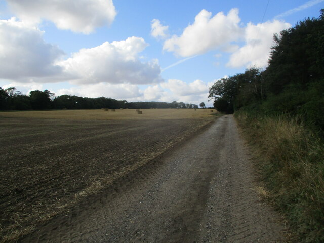
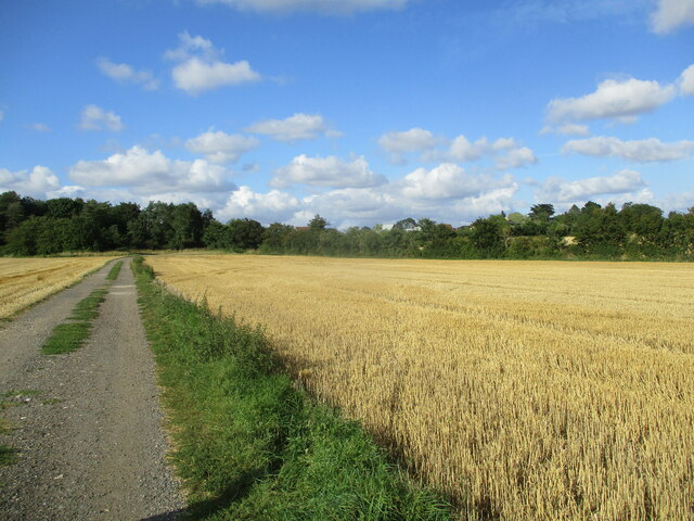
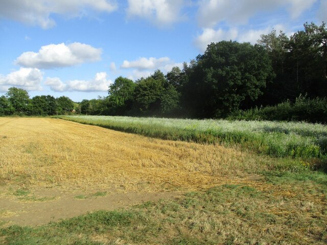
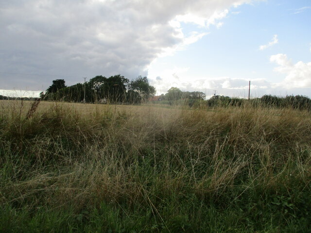
Backhousepond Covert is a stunning woodland located in Suffolk, England. Covering an area of approximately 100 acres, this serene and enchanting forest is a haven for nature lovers and outdoor enthusiasts. The woodland is predominantly made up of broadleaf trees, including oak, beech, and ash, which create a vibrant and diverse ecosystem.
As visitors step foot into Backhousepond Covert, they are immediately transported into a world of tranquility and natural beauty. The forest floor is carpeted with a lush carpet of wildflowers, adding bursts of color to the green surroundings. It is a haven for wildlife, with numerous species of birds, mammals, and insects calling this woodland their home.
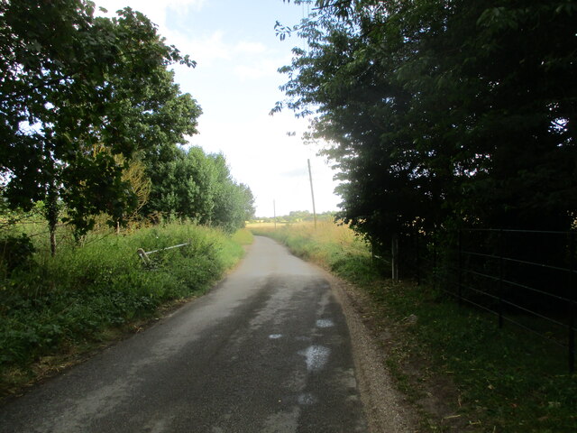
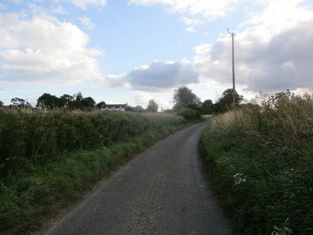
The woodland is crisscrossed by several footpaths and trails, allowing visitors to explore and immerse themselves in the peacefulness of their surroundings. These paths wind through ancient trees, providing glimpses of the picturesque Backhousepond, a small pond nestled within the woods. The pond is a popular spot for birdwatching, as it attracts a variety of waterfowl throughout the year.
Backhousepond Covert also offers a picnic area, where visitors can enjoy a leisurely lunch amidst the natural splendor. The quiet and secluded setting makes it an ideal spot for relaxation and contemplation.
Overall, Backhousepond Covert is a hidden gem in Suffolk, offering a peaceful retreat for those seeking solace in nature. With its diverse flora and fauna, scenic trails, and tranquil pond, this woodland is a must-visit destination for nature enthusiasts and those looking to recharge in a serene environment.
If you have any feedback on the listing, please let us know in the comments section below.
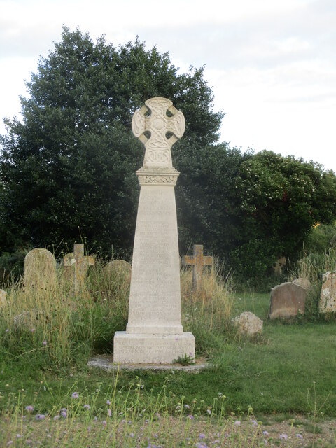
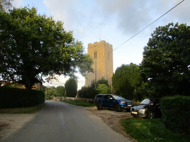
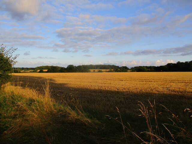
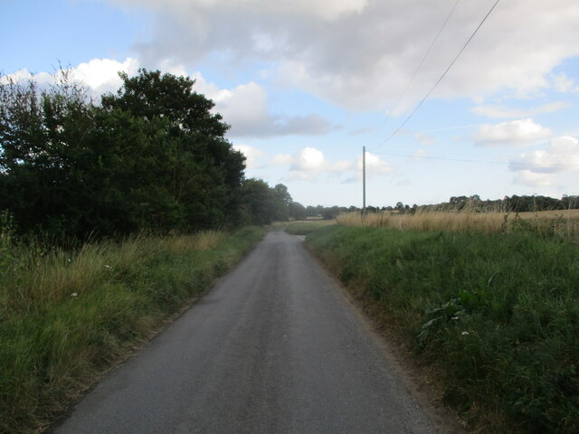
Backhousepond Covert Images
Images are sourced within 2km of 52.205523/1.4350134 or Grid Reference TM3461. Thanks to Geograph Open Source API. All images are credited.


Backhousepond Covert is located at Grid Ref: TM3461 (Lat: 52.205523, Lng: 1.4350134)
Administrative County: Suffolk
District: East Suffolk
Police Authority: Suffolk
What 3 Words
///headers.tries.informal. Near Saxmundham, Suffolk
Nearby Locations
Related Wikis

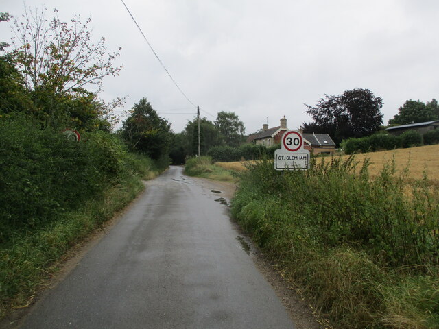
Great Glemham
Great Glemham is a village and civil parish in the East Suffolk district, England, a mile and a half to the west of the A12 and roughly equidistant between...

Norwich Crag Formation
The Norwich Crag Formation is a stratigraphic unit of the British Pleistocene Epoch. It is the second youngest unit of the Crag Group, a sequence of four...

Benhall Street
Benhall Street is a village in Suffolk, England.

Stratford St Andrew
Stratford St Andrew is a small village and a civil parish just off the A12 road, in the East Suffolk district, in the English county of Suffolk. It is...

Sweffling
Sweffling is a village and a civil parish in the East Suffolk district, in the county of Suffolk, England. Nearby settlements include the town of Saxmundham...
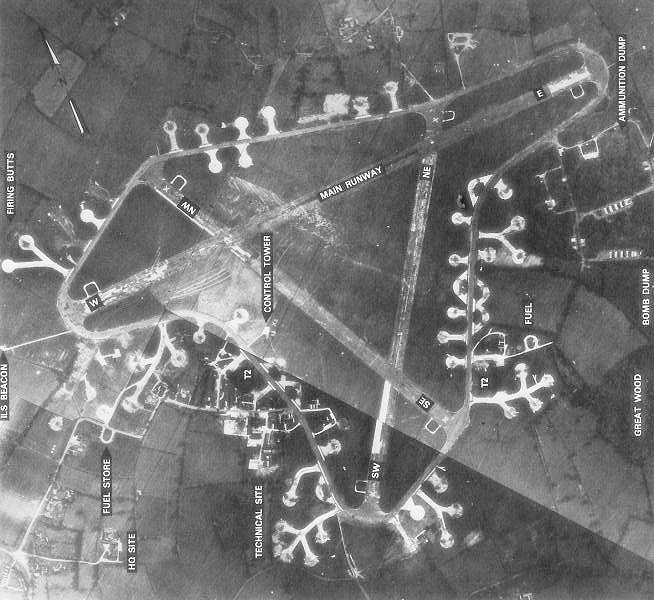
RAF Framlingham
Royal Air Force Framlingham or more simply RAF Framlingham is a former Royal Air Force station located 3 miles (4.8 km) southeast of Framlingham, Suffolk...

Farnham, Suffolk
Farnham is a village and civil parish about 3 miles (4.8 km) south-west of Saxmundham in the English county of Suffolk on the A12 road. Farnham is located...

Parham Airfield Museum
Parham Airfield Museum is a museum in Framlingham in Suffolk, England. The airfield was named after the village of Parham in Suffolk famously linked to...
Nearby Amenities
Located within 500m of 52.205523,1.4350134Have you been to Backhousepond Covert?
Leave your review of Backhousepond Covert below (or comments, questions and feedback).