Fron Isaf

Settlement in Denbighshire

Wales

Fron Isaf

The River Dee from the Newbridge viaduct
The River Dee from the Newbridge viaduct Credit: Roy Hughes

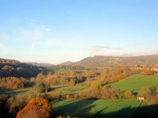
Fron Isaf is a small village located in the county of Denbighshire, Wales. Situated in the heart of the picturesque Vale of Clwyd, it is surrounded by rolling hills and lush green countryside. The village is positioned approximately 3 miles northwest of the town of Denbigh and enjoys a peaceful and rural setting.

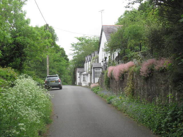
Fron Isaf is characterized by its traditional Welsh charm and is home to a close-knit community. Most of the village's houses are built in the traditional Welsh style, with stone walls and slate roofs, giving it a quaint and timeless feel. The village also boasts a small chapel, which has been a central gathering place for locals for many years.

Although Fron Isaf is a relatively small village, it offers easy access to a range of amenities and attractions. The nearby town of Denbigh provides residents with a variety of shops, supermarkets, restaurants, and leisure facilities. Additionally, the village is surrounded by beautiful countryside, making it an ideal location for outdoor enthusiasts and nature lovers. Numerous walking and cycling paths can be found in the area, allowing residents to explore the stunning scenery and enjoy peaceful strolls.

Overall, Fron Isaf is a charming and tranquil village that offers a close-knit community, stunning natural surroundings, and convenient access to amenities. It is a perfect place for those seeking a peaceful and idyllic rural lifestyle in the heart of Wales.

If you have any feedback on the listing, please let us know in the comments section below.
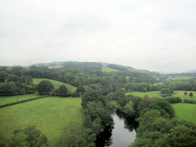
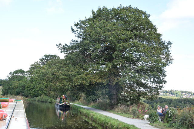
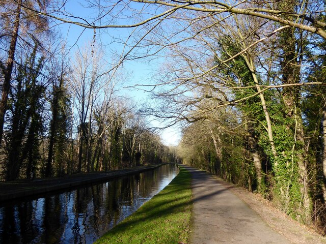
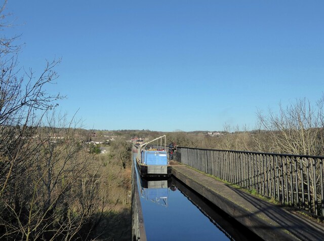
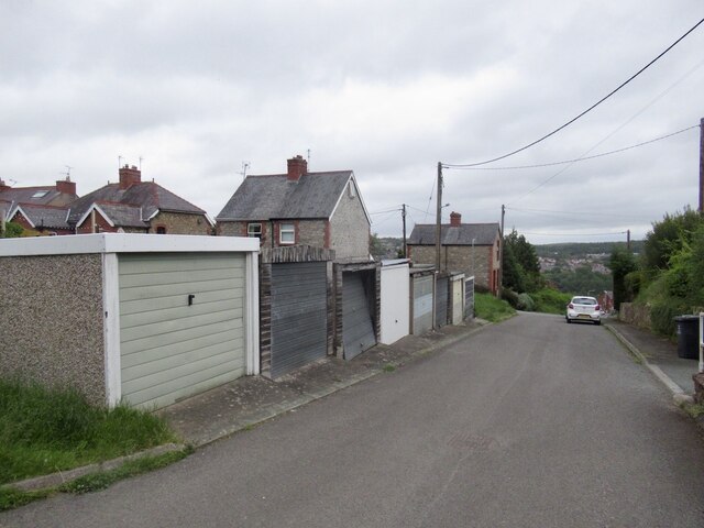
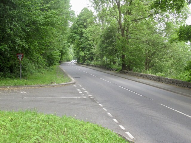
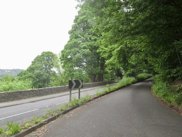
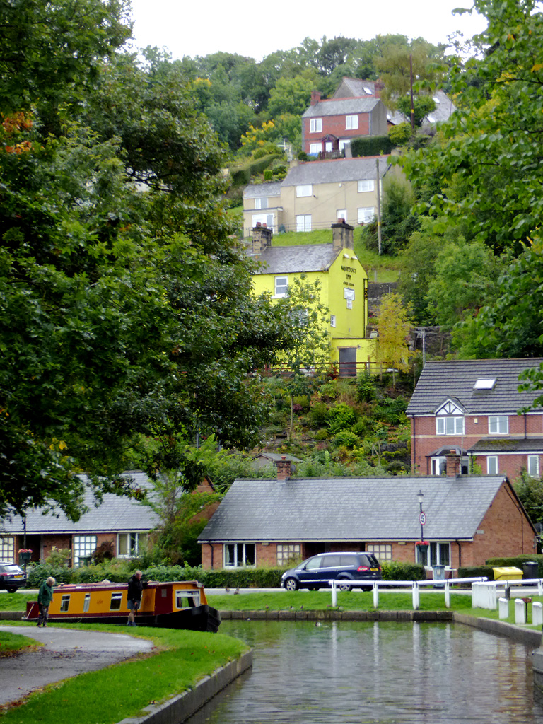
Fron Isaf Images

Images are sourced within 2km of 52.952391/-3.0879982 or Grid Reference SJ2740. Thanks to Geograph Open Source API. All images are credited.

The River Dee from the Newbridge viaduct
Llangollen Canal near Plas-yn-pentre Taken just east of Bridge 34W.
Llangollen Canal near Plas-yn-pentre
Taken just east of Bridge 34W.
The Llangollen Canal, Froncysyllte The Llangollen Canal runs on a high tree-covered embankment on the southern approach to Pont-Cysyllte.
The Llangollen Canal, Froncysyllte
The Llangollen Canal runs on a high tree-covered embankment on the southern approach to Pont-Cysyllte.
Repairing the railings Repairs are underway to the cast iron railings of the Pont-Cysyllte aqueduct.  The equipment has been taken to the site by boat and the canal is closed while the work is in progress.
Repairing the railings
Repairs are underway to the cast iron railings of the Pont-Cysyllte aqueduct. The equipment has been taken to the site by boat and the canal is closed while the work is in progress.
Woodlands Grove, Froncysyllte
A5 West of Froncysyllte.
A5
West of Froncysyllte.
Cwmalis Road, Froncysyllte Leaving the A5 (left).
Cwmalis Road, Froncysyllte
Leaving the A5 (left).
Carmel Terrace Cwmalis Road, Froncysyllte.
Carmel Terrace
Cwmalis Road, Froncysyllte.
Field off Caeau Gwynion Road and Blaenau Road High above the Dee with big views.
Field off Caeau Gwynion Road and Blaenau Road
High above the Dee with big views.
Blaenau Road Bluebells still in flower due to the altitude. There were few flowers visible on the plain or in Shropshire. All gone to seed.
Blaenau Road
Bluebells still in flower due to the altitude. There were few flowers visible on the plain or in Shropshire. All gone to seed.
The Pont-Cysyllte aqueduct
Gale Road near Trevor
The A5 at Froncysyllte
The A5 south at Plas Offa
The Pontcysyllte Aqueduct and its evening shadow The photo was taken from the end of the aqueduct, and I have used the zoom.
The Pontcysyllte Aqueduct and its evening shadow
The photo was taken from the end of the aqueduct, and I have used the zoom.
View from Newbridge Viaduct On a Birmingham International Airport bound train.
View from Newbridge Viaduct
On a Birmingham International Airport bound train.
The Dee valley near Chirk
The Llangollen Canal Near Plas-yn-pentre. Viewed from Bridge 34W.
The Llangollen Canal
Near Plas-yn-pentre. Viewed from Bridge 34W.
Show me another place!

Fron Isaf is located at Grid Ref: SJ2740 (Lat: 52.952391, Lng: -3.0879982)

Unitary Authority: Wrexham

Police Authority: North Wales

What 3 Words

///whimpered.action.dives. Near Chirk, Wrexham

Related Wikis

Froncysyllte

Froncysyllte (; Welsh pronunciation: [vrɔŋkəˈsəɬte]), colloquially known as Fron, is a village in Wrexham County Borough, Wales and stands on the banks...

Whitehurst Halt railway station

Whitehurst Halt was a small railway station located on the Shrewsbury to Chester Line about a mile and a half north of Chirk in Wales, immediately on the...

Tŷ Mawr Country Park

Tŷ Mawr Country Park (Welsh: Parc Gwledig Tŷ Mawr) is a country park and farm park near Cefn Mawr in Wrexham County Borough, Wales. The country park lies...

Battle of Crogen

The Battle of Crogen is an engagement said to have taken place in Wales during Henry II of England's summer 1165 campaign against an alliance of Welsh...

Nearby Amenities

Located within 500m of 52.952391,-3.0879982
Barrier: kissing_gate
Lat/Long: 52.9488503/-3.0865614
Building: yes
Lat/Long: 52.9548437/-3.0826452
Building: yes
Lat/Long: 52.9545076/-3.0830529
Place: farm
Lat/Long: 52.9487934/-3.0856278
Fron Isaf
Place: hamlet
Lat/Long: 52.9548614/-3.0835745
Direction: SE
Generator Method: photovoltaic
Generator Output Electricity: yes
Generator Solar Modules: 3
Generator Source: solar
Generator Type: solar_photovoltaic_panel
Location: roof
Power: generator
Lat/Long: 52.9543311/-3.0835734
Direction: SE
Generator Method: photovoltaic
Generator Output Electricity: yes
Generator Solar Modules: 3
Generator Source: solar
Generator Type: solar_photovoltaic_panel
Location: roof
Power: generator
Lat/Long: 52.9544208/-3.0834152
Direction: 175
Generator Method: photovoltaic
Generator Output Electricity: yes
Generator Solar Modules: 21
Generator Source: solar
Generator Type: solar_photovoltaic_panel
Location: roof
Power: generator
Lat/Long: 52.9482985/-3.0852565
The data included in this document is from www.openstreetmap.org. The data is made available under ODbL.

Have you been to Fron Isaf?

Leave your review of Fron Isaf below (or comments, questions and feedback).