Black Ditch Plantation
Wood, Forest in Suffolk East Suffolk
England
Black Ditch Plantation

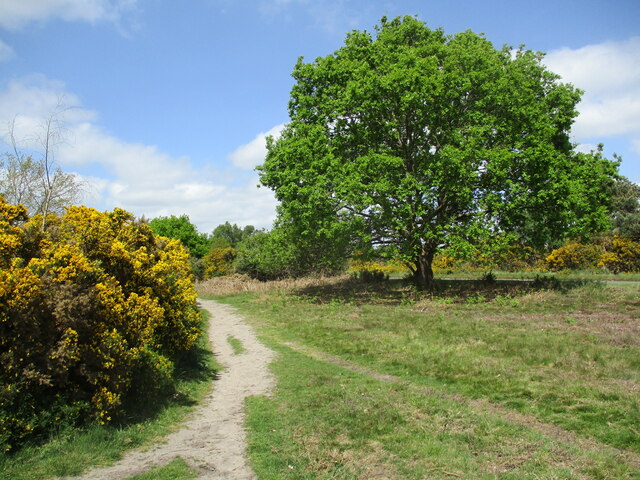
Black Ditch Plantation, located in Suffolk, England, is a vast woodland area that stretches over several hundred acres. It is known for its rich biodiversity and is classified as a Site of Special Scientific Interest (SSSI). The plantation is composed predominantly of deciduous trees, such as oak, beech, and birch, which create a dense canopy overhead, providing shade and shelter for a variety of wildlife.
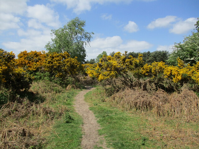
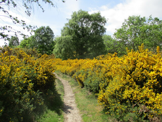
The woodland is crisscrossed by numerous walking trails, allowing visitors to explore its natural beauty. These trails wind through a diverse landscape, featuring both open areas and dense thickets. The plantation is also home to a small stream, known as Black Ditch, which meanders through the woodland, adding to its scenic charm.
Black Ditch Plantation is a haven for wildlife enthusiasts, as it provides a sanctuary for a wide range of species. Birdwatchers can spot numerous avian species, including woodpeckers, owls, and different types of warblers. The woodland is also home to mammals such as deer, foxes, badgers, and rabbits. Reptiles and amphibians can be found in the plantation's wetter areas, including adders and common frogs.
The plantation is managed by the local authorities to maintain its ecological balance and preserve its natural habitats. Conservation efforts are focused on controlling invasive plant species, ensuring the health of the existing trees, and promoting the growth of native flora. Additionally, the plantation serves as an educational resource, with various workshops and guided tours available to visitors to learn about the importance of woodland ecosystems and conservation practices.
In summary, Black Ditch Plantation in Suffolk is a picturesque woodland area renowned for its diverse flora and fauna, providing a tranquil retreat for nature lovers and a valuable habitat for wildlife.
If you have any feedback on the listing, please let us know in the comments section below.
Black Ditch Plantation Images
Images are sourced within 2km of 52.052099/1.4209614 or Grid Reference TM3444. Thanks to Geograph Open Source API. All images are credited.


Black Ditch Plantation is located at Grid Ref: TM3444 (Lat: 52.052099, Lng: 1.4209614)
Administrative County: Suffolk
District: East Suffolk
Police Authority: Suffolk
What 3 Words
///part.epidemics.switch. Near Woodbridge, Suffolk
Nearby Locations
Related Wikis

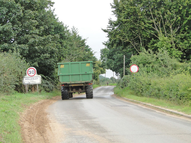
Hollesley
Hollesley is a village and civil parish in the East Suffolk district of Suffolk east of Ipswich in eastern England. Located on the Bawdsey peninsula five...

HM Prison Warren Hill
HM Prison Warren Hill is a male prison located near the village of Hollesley in Suffolk, England. The prison is operated by His Majesty's Prison Service...
HM Prison Hollesley Bay
HM Prison Hollesley Bay, known locally as Hollesley Bay Colony (to which signposts still point) or simply The Colony, is a Category D men's prison and...
Wilford Hundred
Wilford is a hundred of Suffolk, consisting of 31,500 acres (127 km2).Wilford Hundred extends about 12 miles (19 km) southward from Debach to Woodbridge...
Nearby Amenities
Located within 500m of 52.052099,1.4209614Have you been to Black Ditch Plantation?
Leave your review of Black Ditch Plantation below (or comments, questions and feedback).