Mousehold Plantation

Wood, Forest in Norfolk Broadland

England

Mousehold Plantation

Hemblington village sign The sign was unveiled on the 25th September 2021. The new sign depicts the Anglo-Saxon All Saints Church and a boot, representing shoemaker Jeremiah Cutton after whom Cutton's Corner, (adjacent to the sign's location) is named. 
As well as the church, the sign illustrates the agricultural nature of the village by a tractor under the trees which themselves represent the various woodlands of the area, with geese in the foreground.
Hemblington village sign Credit: Adrian S Pye

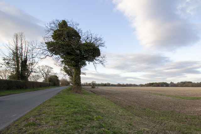
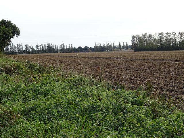
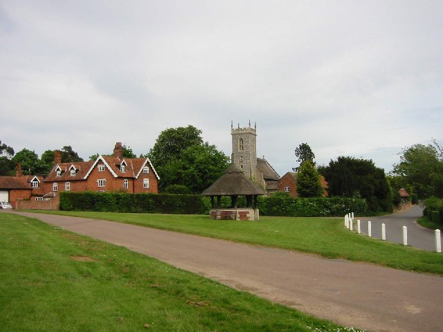
Mousehold Plantation is a picturesque woodland located in Norfolk, England. Covering an area of approximately 184 acres, it is one of the largest areas of woodland in the region. The plantation is situated on a hilltop, offering visitors breathtaking panoramic views of the surrounding countryside.

The woodland is predominantly made up of mixed broadleaf trees, including oak, beech, and birch. The diverse range of tree species creates a vibrant and ever-changing display of colors throughout the seasons, making it a popular destination for nature enthusiasts and photographers alike.

Mousehold Plantation is home to a rich variety of wildlife, providing a haven for many species. Visitors may spot deer, foxes, and a wide array of birdlife, including woodpeckers and owls. The woodland also supports a diverse range of lesser-known flora and fauna, making it an important site for biodiversity conservation.

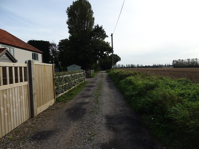
The plantation offers a network of well-maintained footpaths and trails, allowing visitors to explore the woodland at their own pace. Whether it's a leisurely stroll or a more challenging hike, there is something for everyone to enjoy. The woodland also features a number of picnic areas, providing an ideal spot for visitors to relax and take in the tranquil surroundings.

With its natural beauty, abundant wildlife, and recreational opportunities, Mousehold Plantation is a beloved destination for locals and tourists alike. It offers a peaceful retreat from the bustling city, allowing visitors to reconnect with nature and enjoy the serenity of the Norfolk countryside.

If you have any feedback on the listing, please let us know in the comments section below.

Mousehold Plantation Images

Images are sourced within 2km of 52.661069/1.4470773 or Grid Reference TG3312. Thanks to Geograph Open Source API. All images are credited.

Hemblington village sign The sign was unveiled on the 25th September 2021. The new sign depicts the Anglo-Saxon All Saints Church and a boot, representing shoemaker Jeremiah Cutton after whom Cutton's Corner, (adjacent to the sign's location) is named. 
As well as the church, the sign illustrates the agricultural nature of the village by a tractor under the trees which themselves represent the various woodlands of the area, with geese in the foreground.
Hemblington village sign
The sign was unveiled on the 25th September 2021. The new sign depicts the Anglo-Saxon All Saints Church and a boot, representing shoemaker Jeremiah Cutton after whom Cutton's Corner, (adjacent to the sign's location) is named. As well as the church, the sign illustrates the agricultural nature of the village by a tractor under the trees which themselves represent the various woodlands of the area, with geese in the foreground.
Hemblington village sign on Hemblington Hall Road The sign was unveiled on the 25th September 2021. The new sign depicts the Anglo-Saxon All Saints Church and a boot, representing shoemaker Jeremiah Cutton after whom Cutton's Corner, (adjacent to the sign's location) is named.
As well as the church, the sign illustrates the agricultural nature of the village by a tractor under the trees which themselves represent the various woodlands of the area, with geese in the foreground. <a title="https://www.geograph.org.uk/photo/6980330" href="https://www.geograph.org.uk/photo/6980330">Link</a>
Hemblington village sign on Hemblington Hall Road
The sign was unveiled on the 25th September 2021. The new sign depicts the Anglo-Saxon All Saints Church and a boot, representing shoemaker Jeremiah Cutton after whom Cutton's Corner, (adjacent to the sign's location) is named. As well as the church, the sign illustrates the agricultural nature of the village by a tractor under the trees which themselves represent the various woodlands of the area, with geese in the foreground. Link
Hemblington village sign The sign was unveiled on the 25th September 2021. The new sign depicts the Anglo-Saxon All Saints Church and a boot, representing shoemaker Jeremiah Cutton after whom Cutton's Corner, (adjacent to the sign's location) is named.
As well as the church, the sign illustrates the agricultural nature of the village by a tractor under the trees which themselves represent the various woodlands of the area, with geese in the foreground.
Hemblington village sign
The sign was unveiled on the 25th September 2021. The new sign depicts the Anglo-Saxon All Saints Church and a boot, representing shoemaker Jeremiah Cutton after whom Cutton's Corner, (adjacent to the sign's location) is named. As well as the church, the sign illustrates the agricultural nature of the village by a tractor under the trees which themselves represent the various woodlands of the area, with geese in the foreground.
Hall Road Hall Road approaching Holly Lane
Hall Road
Hall Road approaching Holly Lane
Woodbastwick Road Fields by Woodbastwick Road
Woodbastwick Road
Fields by Woodbastwick Road
Heath Farm Farm buildings at Heath Farm
Heath Farm
Farm buildings at Heath Farm
Scott's Corner
Scott's Corner
Ploughed field, Blofield Heath
Orchard Close, Blofield Heath
Indian Restaurant, Blofield Heath
Woodbastwick Road, Blofield Heath
Heathlands Social Club & Community Centre,  Blofield Heath
Heathlands Social Club & Community Centre, Blofield Heath
Stubble fields east of Woodbastwick Road
Heading north on Woodbastwick Road
Barn, Heath Farm
Barn, Heath Farm
Field near Heath Farm
Farm track off Primrose Corner
Primrose Corner
Primrose Corner
Show me another place!

Mousehold Plantation is located at Grid Ref: TG3312 (Lat: 52.661069, Lng: 1.4470773)

Administrative County: Norfolk

District: Broadland

Police Authority: Norfolk

What 3 Words

///clef.raced.fronted. Near Brundall, Norfolk

Related Wikis

Blofield Heath

Blofield Heath is a hamlet in the civil parish of Blofield, in the Broadland district, in the county of Norfolk, England. It is about 7 miles from Norwich...

South Walsham Fen

South Walsham Fen is a 1.4-hectare (3.5-acre) Local Nature Reserve west of South Walsham in Norfolk. It is owned and managed by Norfolk County Council...
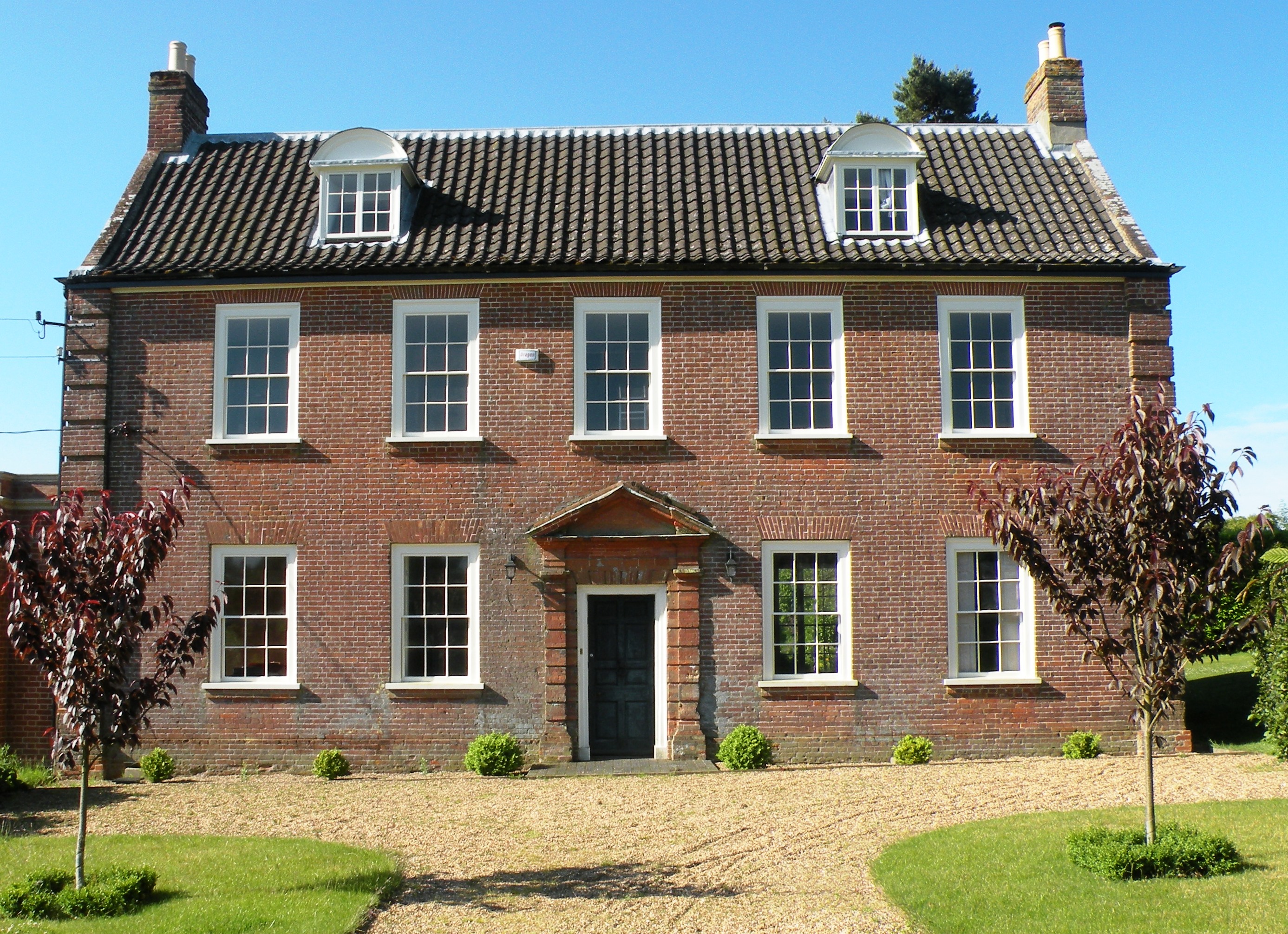
Hemblington Hall

Hemblington Hall is a large farmhouse in Norfolk county, England, built around 1700 with a Georgian facade. This grade II listed building was the home...
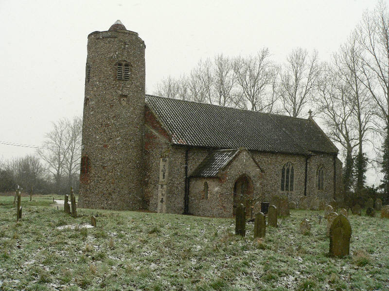
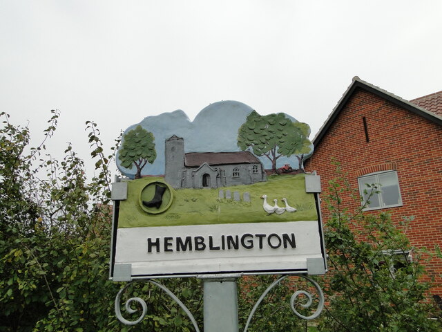
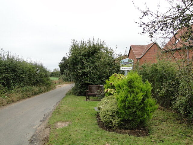
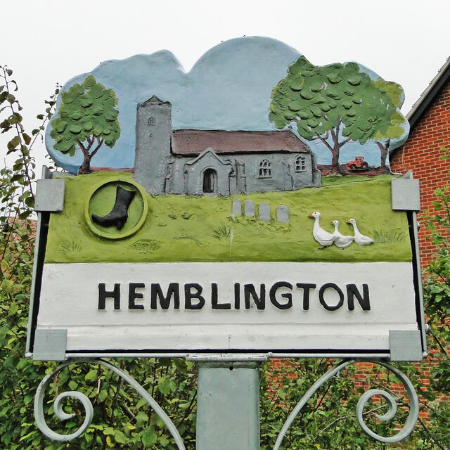
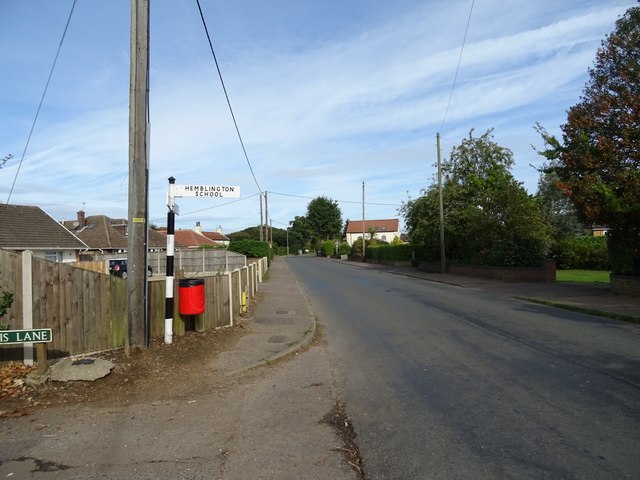
Hemblington

Hemblington is a civil parish in the English county of Norfolk, about 8 miles (13 km) east of Norwich. It covers an area of 3.03 km2 (1.17 sq mi) and had...

Woodforde's Brewery

Woodforde's Brewery is a brewery located on Slad Lane in the village of Woodbastwick, in the county of Norfolk, England. The brewery produced its first...

Norwich United F.C.

Norwich United Football Club is a football club based in Blofield, Norfolk, England. Affiliated to the Norfolk County FA, they play at Plantation Park...

Woodbastwick

Woodbastwick is a village and civil parish in the English county of Norfolk. It is located on the River Bure between Cockshoot Broad and Salhouse Broad...

Great and Little Plumstead

Great and Little Plumstead is a civil parish in the English county of Norfolk consisting of the villages of Great Plumstead, Little Plumstead and Thorpe...

Nearby Amenities

Located within 500m of 52.661069,1.4470773
Bench
Backrest: yes
Colour: brown
Material: wood
Lat/Long: 52.6579024/1.4517854
Waste Basket
Waste: dog_excrement
Lat/Long: 52.6579591/1.4515425
Power: pole
Transformer: distribution
Lat/Long: 52.6566235/1.446528
The data included in this document is from www.openstreetmap.org. The data is made available under ODbL.

Have you been to Mousehold Plantation?

Leave your review of Mousehold Plantation below (or comments, questions and feedback).