Bussock Woods

Wood, Forest in Suffolk East Suffolk

England

Bussock Woods

The Sorrel Horse, Shottisham
The Sorrel Horse, Shottisham Credit: Adrian S Pye

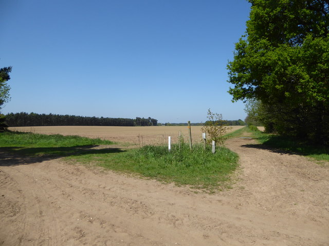
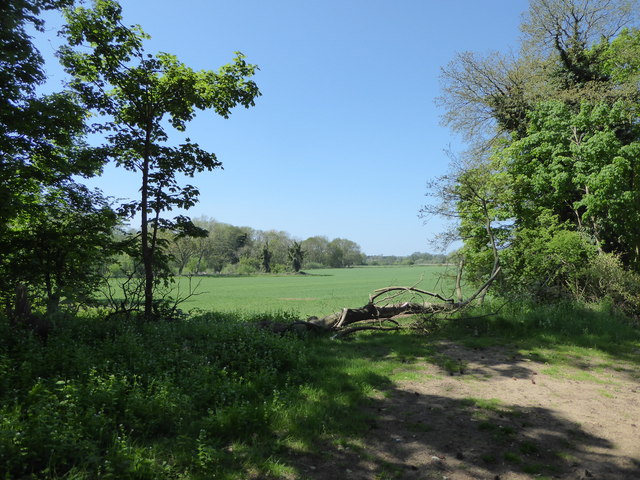
Bussock Woods is a picturesque woodland located in the county of Suffolk, England. Covering an area of approximately 100 acres, it is a popular destination for nature enthusiasts and offers a tranquil escape from the hustle and bustle of everyday life. The woods are situated near the village of Bussock, which is known for its charming rural character and historic architecture.

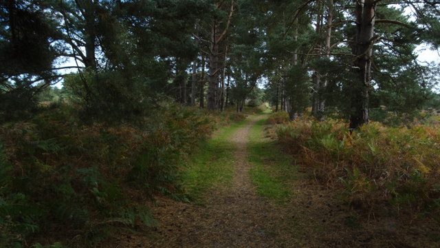
The woodland itself is predominantly composed of deciduous trees, including oak, beech, and ash, which create a beautiful canopy of foliage throughout the year. In spring, the woods come alive with a vibrant display of wildflowers, including bluebells and primroses, adding a splash of color to the natural landscape.

Bussock Woods is home to a diverse range of wildlife, making it an ideal spot for birdwatching and nature spotting. Visitors may have the opportunity to catch a glimpse of various bird species, such as woodpeckers, owls, and warblers. Additionally, the woods are inhabited by a variety of mammals, including badgers, foxes, and deer.

The area offers several well-maintained walking trails, allowing visitors to explore the woods at their own pace. These trails meander through the woodland, leading visitors to hidden clearings and peaceful spots where one can sit and enjoy the tranquility of nature. There are also designated picnic areas, providing the perfect spot to relax and enjoy a meal amidst the beauty of Bussock Woods.

Overall, Bussock Woods is a haven of natural beauty and biodiversity. It offers visitors a chance to reconnect with nature and enjoy the peace and serenity of a quintessential English woodland.

If you have any feedback on the listing, please let us know in the comments section below.

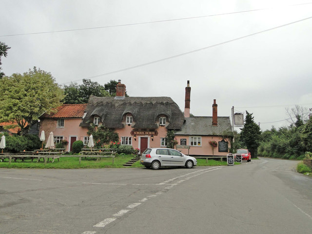
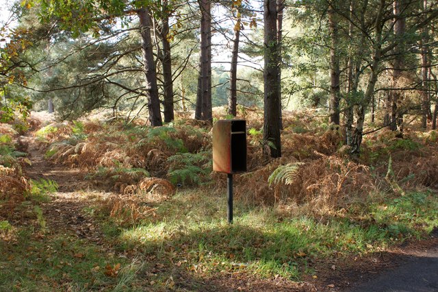
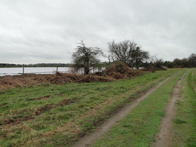
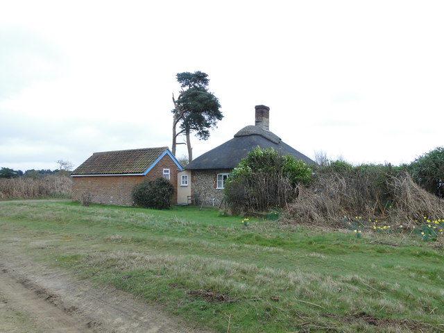
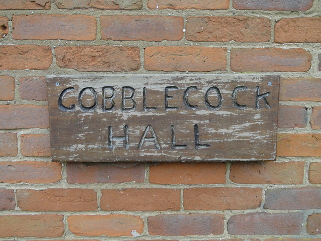
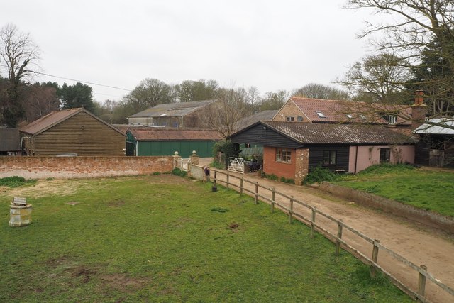
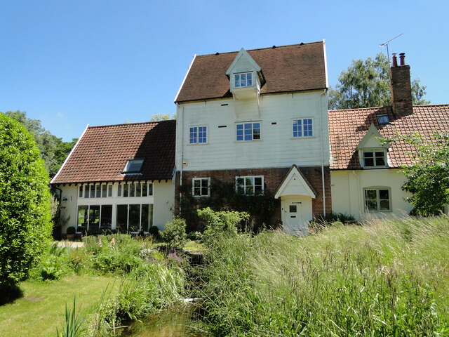
Bussock Woods Images

Images are sourced within 2km of 52.058283/1.3996932 or Grid Reference TM3345. Thanks to Geograph Open Source API. All images are credited.

The Sorrel Horse, Shottisham
Shottisham World War One Memorial The memorial bears seven names.
There are no recorded losses in World War Two.
Shottisham World War One Memorial
The memorial bears seven names. There are no recorded losses in World War Two.
St Margaret of Antioch, Shottisham
Minor Road to Melton Close to Woodhall Wood and Loam Ponds.
Minor Road to Melton
Close to Woodhall Wood and Loam Ponds.
Redundant postbox, Lower Hollesley Common Compare with <a href="https://www.geograph.org.uk/photo/2623726">TM3446 : Tangham Forest Postbox</a> when it was in service.
Redundant postbox, Lower Hollesley Common
Compare with TM3446 : Tangham Forest Postbox when it was in service.
Looking towards Aerodrome Plantation
Gobblecock Hall, Sutton Heath On the current map as Gobblecock Cottage but on the older versions as Gobblecock Hall. The latter is used by the owners.
<a title="https://www.geograph.org.uk/photo/5317435" href="https://www.geograph.org.uk/photo/5317435">Link</a>
Gobblecock Hall, Sutton Heath
On the current map as Gobblecock Cottage but on the older versions as Gobblecock Hall. The latter is used by the owners. Link
Gobblecock Hall sign <a title="https://www.geograph.org.uk/photo/5317432" href="https://www.geograph.org.uk/photo/5317432">Link</a>
Gobblecock Hall sign
Sandlings Walk across Upper Hollesley Common near Woodbridge
Looking towards Ash Covert
The Sorrel Horse pub, Shottisham
Footpath across a field
Field near Vale Farm
Poplar Farm Mainly an equestrian centre and livery stables.
Poplar Farm
Mainly an equestrian centre and livery stables.
Shottisham village sign Showing an idyllic image of the village church, mill and cottages surrounded by ears of wheat and daisies.
<a title="https://www.geograph.org.uk/photo/6648862" href="https://www.geograph.org.uk/photo/6648862">Link</a>
Shottisham village sign
Showing an idyllic image of the village church, mill and cottages surrounded by ears of wheat and daisies. Link
Shottisham village sign See a close up and more about the sign here <a title="https://www.geograph.org.uk/photo/6648667" href="https://www.geograph.org.uk/photo/6648667">Link</a>
Shottisham village sign
See a close up and more about the sign here Link
Former water mill at Shottisham The mill (centre) and the millers house (right) have been converted into a private dwelling house. 
There has been a mill in Shottisham since the 16th century
(The following is from Shottisham Parish Plan April 2012)
The millpond, fed from springs rising near Church Lane and others to the north, is now much reduced in size. When milling stopped in the 1950s, it was completely filled in; then partly re-dug in the 1980s.
During the later period of operation, water power was supplemented by steam power. The mill was last used commercially in 1944, and the engine is now in the Museum of East Anglian Life in Stowmarket.
Photographed with the kind permission of the owner.
Former water mill at Shottisham
The mill (centre) and the millers house (right) have been converted into a private dwelling house. There has been a mill in Shottisham since the 16th century (The following is from Shottisham Parish Plan April 2012) The millpond, fed from springs rising near Church Lane and others to the north, is now much reduced in size. When milling stopped in the 1950s, it was completely filled in; then partly re-dug in the 1980s. During the later period of operation, water power was supplemented by steam power. The mill was last used commercially in 1944, and the engine is now in the Museum of East Anglian Life in Stowmarket. Photographed with the kind permission of the owner.
Former water mill at Shottisham With the tailrace in the foreground. Photographed with the kind permission of the owner.
More about the mill here <a href="https://www.geograph.org.uk/photo/6879809">TM3144 : Former water mill at Shottisham</a>
Former water mill at Shottisham
With the tailrace in the foreground. Photographed with the kind permission of the owner. More about the mill here TM3144 : Former water mill at Shottisham
Show me another place!

Bussock Woods is located at Grid Ref: TM3345 (Lat: 52.058283, Lng: 1.3996932)

Administrative County: Suffolk

District: East Suffolk

Police Authority: Suffolk

What 3 Words

///folders.leap.unscathed. Near Woodbridge, Suffolk

Nearby Locations

Bussock Woods

Related Wikis

Wilford Hundred

Wilford is a hundred of Suffolk, consisting of 31,500 acres (127 km2).Wilford Hundred extends about 12 miles (19 km) southward from Debach to Woodbridge...

Sutton and Hollesley Heaths

Sutton and Hollesley Heaths is a 483.3-hectare (1,194-acre) biological Site of Special Scientific Interest south-east of Woodbridge in Suffolk. Most of...
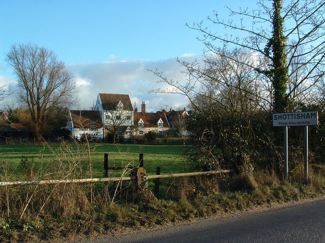
Shottisham

Shottisham is a village and civil parish in the East Suffolk district, in the county of Suffolk. It lies in the Wilford Hundred, about four and a half...

Crag Pit, Sutton

Crag Pit, Sutton is a 0.7-hectare (1.7-acre) biological Site of Special Scientific Interest north of Shottisham in Suffolk. It is in the Suffolk Coast...

Hollesley

Hollesley is a village and civil parish in the East Suffolk district of Suffolk east of Ipswich in eastern England. Located on the Bawdsey peninsula five...

Sutton Heath

Sutton Heath is a civil parish on the former site of RAF Woodbridge, in the East Suffolk district, in the county of Suffolk, England. The parish was formed...

Sutton, Suffolk

Sutton is a village and a civil parish on the B1083 road, in the East Suffolk district, in the county of Suffolk, England. Sutton has a pub, a mobile post...

Rockhall Wood Pit, Sutton

Rockhall Wood Pit, Sutton is a 5.3-hectare (13-acre) geological Site of Special Scientific Interest west of Shottisham in Suffolk. It is a Geological Conservation...

Nearby Amenities

Located within 500m of 52.058283,1.3996932
Bussock Woods
Place: locality
Lat/Long: 52.0582267/1.3994479
Long Plantation
Place: locality
Lat/Long: 52.0558584/1.3959503
The data included in this document is from www.openstreetmap.org. The data is made available under ODbL.

Have you been to Bussock Woods?

Leave your review of Bussock Woods below (or comments, questions and feedback).