Cooper's Grove
Wood, Forest in Norfolk South Norfolk
England
Cooper's Grove
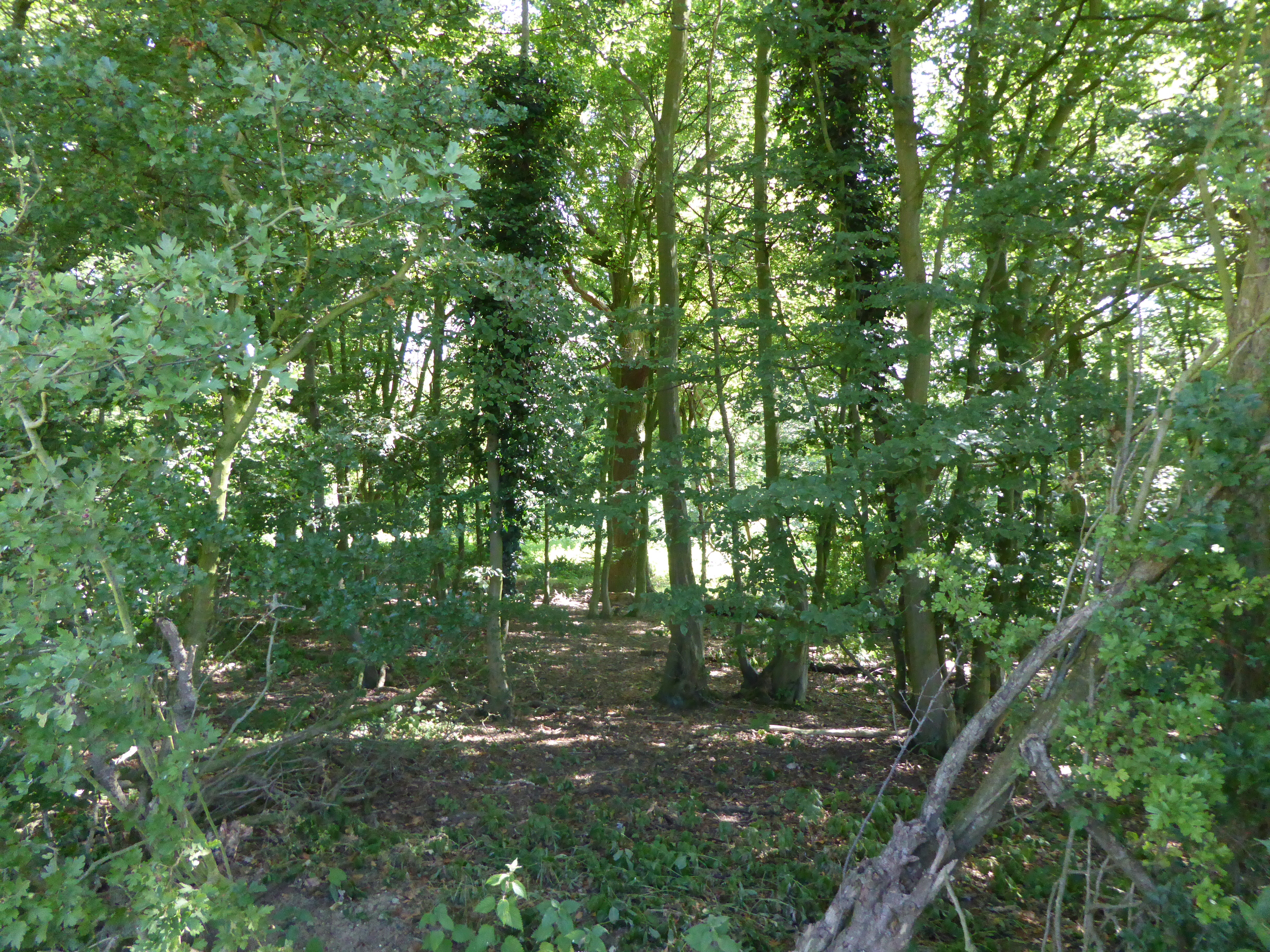
Cooper's Grove, located in Norfolk, is a picturesque wood or forest that showcases the natural beauty of the region. Spread across a vast expanse of land, this woodland area offers a serene and tranquil environment for visitors to immerse themselves in nature.
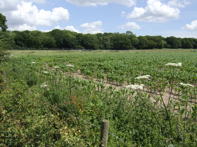
The grove is known for its dense canopy of trees, predominantly consisting of oak, beech, and silver birch. These towering trees create a lush green canopy that provides shade and shelter to the diverse range of flora and fauna that call Cooper's Grove home. The forest floor is covered in a thick carpet of moss, adding to the enchanting atmosphere.
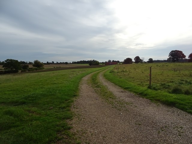
Visitors to Cooper's Grove can enjoy exploring the numerous walking trails that wind their way through the woods. These trails offer a chance to experience the rich biodiversity of the area, with sightings of rare plants and animals being a common occurrence. The grove is also home to a variety of bird species, making it a popular spot for birdwatchers.
Apart from its natural beauty, Cooper's Grove also holds historical significance. It is said to have been a popular spot for local cooperages in the past, hence the name. Today, remnants of old cooperage tools and structures can still be found scattered throughout the grove, adding an intriguing layer of history to the experience.
Overall, Cooper's Grove in Norfolk is a haven for nature enthusiasts and those seeking solace in the midst of a stunning woodland environment. Whether it is to admire the majestic trees, observe the wildlife, or simply enjoy a peaceful walk, this wood or forest offers a delightful escape from the hustle and bustle of daily life.
If you have any feedback on the listing, please let us know in the comments section below.
Cooper's Grove Images
Images are sourced within 2km of 52.493951/1.4241517 or Grid Reference TM3293. Thanks to Geograph Open Source API. All images are credited.


Cooper's Grove is located at Grid Ref: TM3293 (Lat: 52.493951, Lng: 1.4241517)
Administrative County: Norfolk
District: South Norfolk
Police Authority: Norfolk
What 3 Words
///drawn.stuck.tend. Near Ditchingham, Norfolk
Nearby Locations
Related Wikis
Tindall Wood, Ditchingham
Tindall Wood, Ditchingham is a 42.2-hectare (104-acre) biological Site of Special Scientific Interest north of Ditchingham in Norfolk.This is one of the...
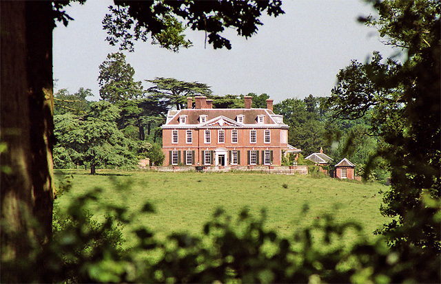
Ditchingham Hall
Ditchingham Hall is an English country house, near the village of Ditchingham in south Norfolk, England, which is set in about 2,000 acres (810 ha) of...
Hedenham Wood
Hedenham Wood is a 23.4-hectare (58-acre) biological Site of Special Scientific Interest north of Hedenham in Norfolk.Most of this ancient wood on boulder...
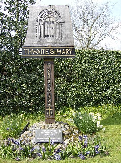
Thwaite St Mary
Thwaite St Mary is a rural village (and civil parish) in the English county of Norfolk, it sits just a few miles north of the Suffolk border. Thwaite...
Hedenham
Hedenham is a civil parish in the English county of Norfolk. It covers an area of 7.30 km2 (2.82 sq mi) and had a population of 173 in 70 households at...

South Norfolk (UK Parliament constituency)
South Norfolk is a constituency represented in the House of Commons of the UK Parliament since 2001 by Richard Bacon, a Conservative. == Constituency... ==

Seething Airfield
Seething Airfield (ICAO: EGSJ), formerly RAF Seething, is located 9 NM (17 km; 10 mi) south southeast of Norwich, East Anglia, England. Seething Airfield...
RAF Seething
Royal Air Force Seething, or more simply RAF Seething , is a former Royal Air Force station located around 9 NM (17 km; 10 mi) south-east of Norwich, Norfolk...
Related Videos


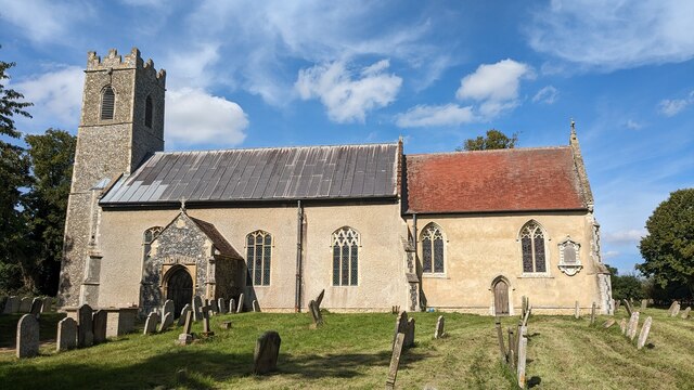
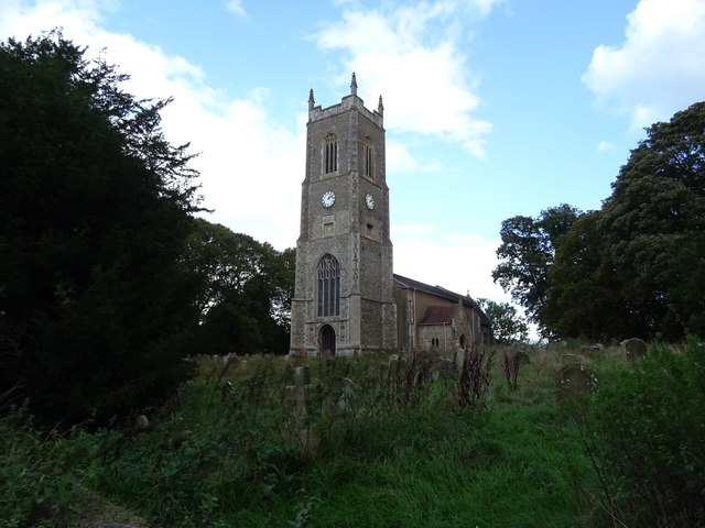
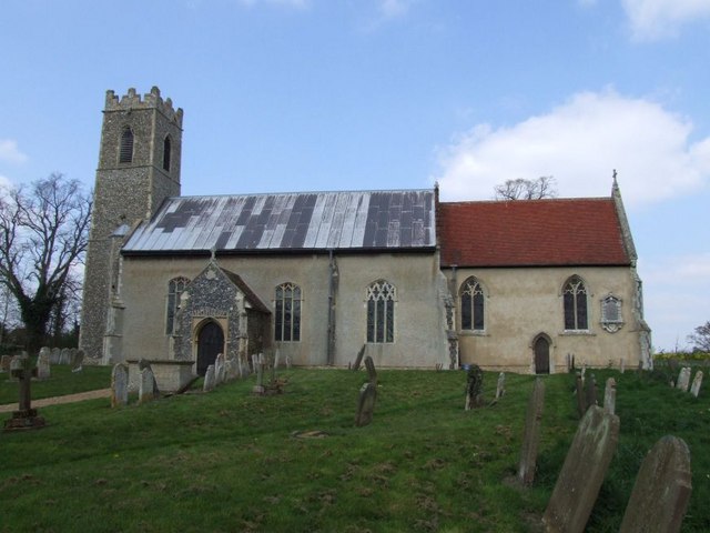
Hedenham Church
St. Peter's has stood on this hill since at least 1245, for that is when the first rector was recorded. The nave is said to have been ...

448th Bomb Group Memorial, Seething Airfield, Norfolk
The wonderful Seething control tower museum and memorial, home of the 448th Bomb Group....opens on the third Sunday of ...

The Seething Airfield Fly-in 2023
The Seething Airfield Fly-in 2023 The skies buzzed with excitement as aviation enthusiasts from all walks of life converged at our ...
Nearby Amenities
Located within 500m of 52.493951,1.4241517Have you been to Cooper's Grove?
Leave your review of Cooper's Grove below (or comments, questions and feedback).