Crows' Plantation

Wood, Forest in Norfolk Broadland

England

Crows' Plantation

Hemblington village sign The sign was unveiled on the 25th September 2021. The new sign depicts the Anglo-Saxon All Saints Church and a boot, representing shoemaker Jeremiah Cutton after whom Cutton's Corner, (adjacent to the sign's location) is named. 
As well as the church, the sign illustrates the agricultural nature of the village by a tractor under the trees which themselves represent the various woodlands of the area, with geese in the foreground.
Hemblington village sign Credit: Adrian S Pye

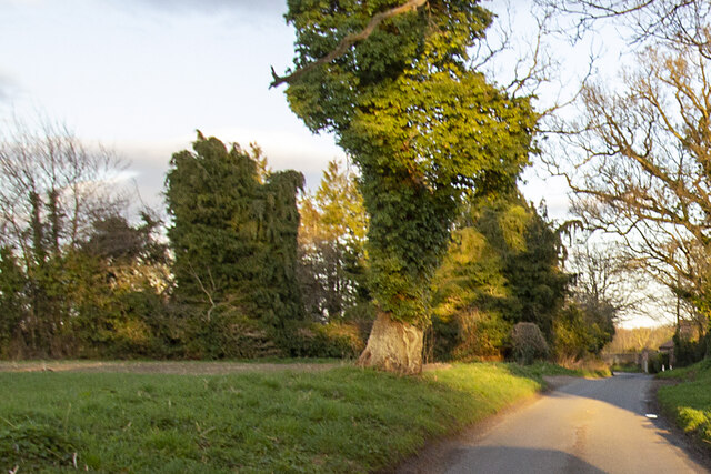
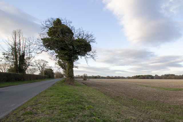
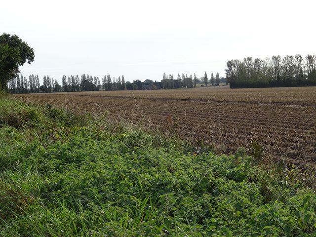
Crows' Plantation is a sprawling woodland area located in Norfolk, England. Situated near the village of Crow's Green, it covers a vast expanse of approximately 500 acres. The plantation is predominantly composed of mature oak and beech trees, offering an enchanting forest-like atmosphere.

The woodland is a popular destination for nature enthusiasts, hikers, and bird watchers, with its diverse ecosystem attracting a wide range of wildlife. The area is home to numerous bird species, including the distinctive carrion crow, which gives the plantation its name. Visitors can often spot these intelligent and adaptable birds perched on branches or soaring across the tree canopy.

Crows' Plantation is crisscrossed by a network of walking trails, allowing visitors to explore the woodland's beauty at their own pace. The paths wind through the ancient trees, offering glimpses of sunlight filtering through the dense foliage, creating a magical ambiance. Along the way, visitors may encounter various flora and fauna, such as wood sorrel, bluebells, and deer.

The plantation holds historical significance, dating back centuries. It was once a part of a larger estate and has witnessed various changes throughout its existence. Today, it stands as a testament to the area's natural heritage and serves as a tranquil retreat away from the hustle and bustle of modern life.

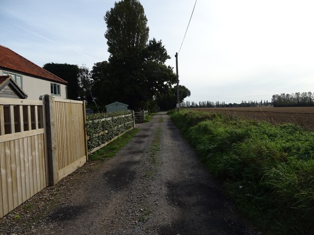
Crows' Plantation is easily accessible, with ample parking and well-maintained trails. Whether seeking solace in nature, enjoying a leisurely stroll, or immersing oneself in the beauty of Norfolk's woodlands, this picturesque plantation offers a delightful experience for visitors of all ages.

If you have any feedback on the listing, please let us know in the comments section below.

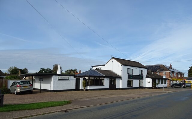
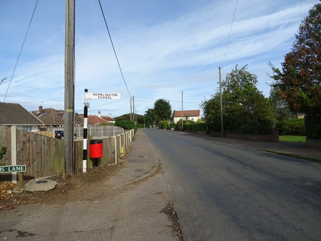
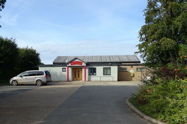
Crows' Plantation Images

Images are sourced within 2km of 52.657714/1.4340783 or Grid Reference TG3212. Thanks to Geograph Open Source API. All images are credited.

Hemblington village sign The sign was unveiled on the 25th September 2021. The new sign depicts the Anglo-Saxon All Saints Church and a boot, representing shoemaker Jeremiah Cutton after whom Cutton's Corner, (adjacent to the sign's location) is named. 
As well as the church, the sign illustrates the agricultural nature of the village by a tractor under the trees which themselves represent the various woodlands of the area, with geese in the foreground.
Hemblington village sign
The sign was unveiled on the 25th September 2021. The new sign depicts the Anglo-Saxon All Saints Church and a boot, representing shoemaker Jeremiah Cutton after whom Cutton's Corner, (adjacent to the sign's location) is named. As well as the church, the sign illustrates the agricultural nature of the village by a tractor under the trees which themselves represent the various woodlands of the area, with geese in the foreground.
Hemblington village sign on Hemblington Hall Road The sign was unveiled on the 25th September 2021. The new sign depicts the Anglo-Saxon All Saints Church and a boot, representing shoemaker Jeremiah Cutton after whom Cutton's Corner, (adjacent to the sign's location) is named.
As well as the church, the sign illustrates the agricultural nature of the village by a tractor under the trees which themselves represent the various woodlands of the area, with geese in the foreground. <a title="https://www.geograph.org.uk/photo/6980330" href="https://www.geograph.org.uk/photo/6980330">Link</a>
Hemblington village sign on Hemblington Hall Road
The sign was unveiled on the 25th September 2021. The new sign depicts the Anglo-Saxon All Saints Church and a boot, representing shoemaker Jeremiah Cutton after whom Cutton's Corner, (adjacent to the sign's location) is named. As well as the church, the sign illustrates the agricultural nature of the village by a tractor under the trees which themselves represent the various woodlands of the area, with geese in the foreground. Link
Hemblington village sign The sign was unveiled on the 25th September 2021. The new sign depicts the Anglo-Saxon All Saints Church and a boot, representing shoemaker Jeremiah Cutton after whom Cutton's Corner, (adjacent to the sign's location) is named.
As well as the church, the sign illustrates the agricultural nature of the village by a tractor under the trees which themselves represent the various woodlands of the area, with geese in the foreground.
Hemblington village sign
The sign was unveiled on the 25th September 2021. The new sign depicts the Anglo-Saxon All Saints Church and a boot, representing shoemaker Jeremiah Cutton after whom Cutton's Corner, (adjacent to the sign's location) is named. As well as the church, the sign illustrates the agricultural nature of the village by a tractor under the trees which themselves represent the various woodlands of the area, with geese in the foreground.
Home Farm Converted vernacular farm building at Home Farm
Home Farm
Converted vernacular farm building at Home Farm
Hall Road Hall Road approaching Holly Lane
Hall Road
Hall Road approaching Holly Lane
Woodbastwick Road Fields by Woodbastwick Road
Woodbastwick Road
Fields by Woodbastwick Road
Heath Farm Farm buildings at Heath Farm
Heath Farm
Farm buildings at Heath Farm
Ploughed field, Blofield Heath
Orchard Close, Blofield Heath
Indian Restaurant, Blofield Heath
Woodbastwick Road, Blofield Heath
Heathlands Social Club & Community Centre,  Blofield Heath
Heathlands Social Club & Community Centre, Blofield Heath
Stubble fields east of Woodbastwick Road
Heading north on Woodbastwick Road
Barn, Heath Farm
Barn, Heath Farm
Field near Heath Farm
Farm track off Primrose Corner
Primrose Corner
Primrose Corner
Show me another place!

Crows' Plantation is located at Grid Ref: TG3212 (Lat: 52.657714, Lng: 1.4340783)

Administrative County: Norfolk

District: Broadland

Police Authority: Norfolk

What 3 Words

///barstool.parks.linen. Near Rackheath, Norfolk

Related Wikis

Blofield Heath

Blofield Heath is a hamlet in the civil parish of Blofield, in the Broadland district, in the county of Norfolk, England. It is about 7 miles from Norwich...

Great and Little Plumstead

Great and Little Plumstead is a civil parish in the English county of Norfolk consisting of the villages of Great Plumstead, Little Plumstead and Thorpe...

Norwich United F.C.

Norwich United Football Club is a football club based in Blofield, Norfolk, England. Affiliated to the Norfolk County FA, they play at Plantation Park...

Blofield

Blofield is a village and civil parish in the Broadland district of Norfolk, England. The parish includes Blofield and the hamlets of Blofield Heath and...

South Walsham Fen

South Walsham Fen is a 1.4-hectare (3.5-acre) Local Nature Reserve west of South Walsham in Norfolk. It is owned and managed by Norfolk County Council...

Woodforde's Brewery

Woodforde's Brewery is a brewery located on Slad Lane in the village of Woodbastwick, in the county of Norfolk, England. The brewery produced its first...
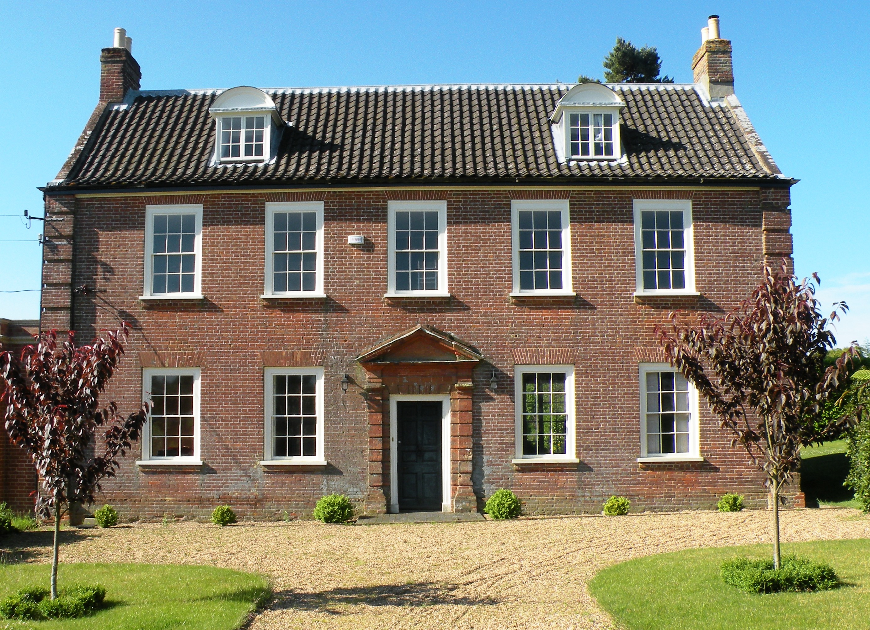
Hemblington Hall

Hemblington Hall is a large farmhouse in Norfolk county, England, built around 1700 with a Georgian facade. This grade II listed building was the home...

Salhouse

Salhouse is a village and civil parish in the Broads in the English county of Norfolk. It lies south of the River Bure and Salhouse Broad, about 10 kilometres...

Nearby Amenities

Located within 500m of 52.657714,1.4340783
Power: pole
Lat/Long: 52.6547903/1.4388185
Power: pole
Lat/Long: 52.654822/1.4335976
Power: pole
Lat/Long: 52.6548025/1.4371006
Power: pole
Lat/Long: 52.6548131/1.4354229
Power: pole
Transformer: distribution
Lat/Long: 52.6562991/1.4284542
Power: pole
Lat/Long: 52.6559664/1.4274175
Power: pole
Lat/Long: 52.6550187/1.4311605
Power: pole
Lat/Long: 52.655187/1.4288256
Generator Method: photovoltaic
Generator Output Electricity: yes
Generator Source: solar
Generator Type: solar_photovoltaic_panel
Location: roof
Power: generator
Lat/Long: 52.6563663/1.4374414
Generator Method: photovoltaic
Generator Output Electricity: yes
Generator Source: solar
Generator Type: solar_photovoltaic_panel
Location: roof
Power: generator
Lat/Long: 52.6563419/1.4364973
Generator Method: photovoltaic
Generator Output Electricity: yes
Generator Source: solar
Generator Type: solar_photovoltaic_panel
Location: roof
Power: generator
Lat/Long: 52.6566705/1.4373931
Communication Mobile Phone: yes
Man Made: mast
Material: metal
Operator: Three UK;EE
Tower Construction: freestanding
Tower Type: communication
Lat/Long: 52.6534595/1.433801
The data included in this document is from www.openstreetmap.org. The data is made available under ODbL.

Have you been to Crows' Plantation?

Leave your review of Crows' Plantation below (or comments, questions and feedback).