Paul's Grove
Wood, Forest in Suffolk East Suffolk
England
Paul's Grove
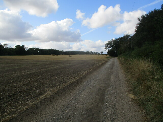
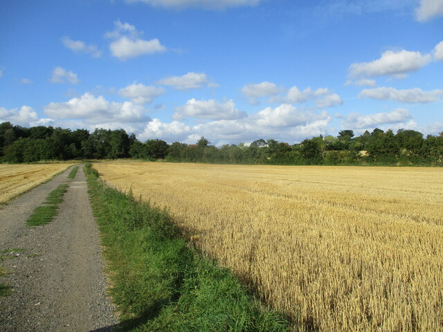
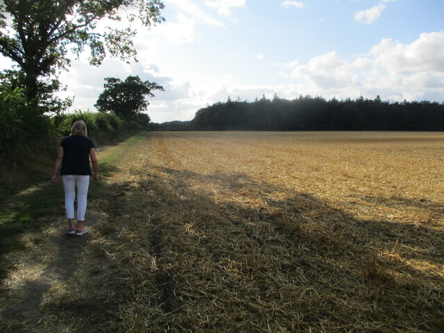
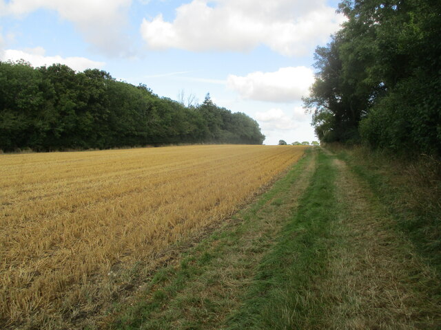
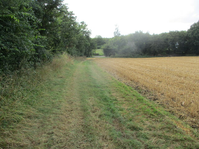
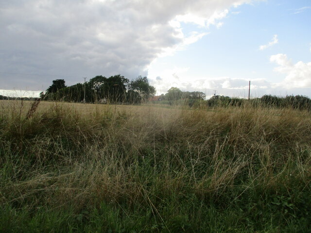
Paul's Grove is a picturesque woodland area located in Suffolk, England. Spanning over several acres, this forested haven is known for its serene and tranquil atmosphere, making it a popular destination for nature enthusiasts and outdoor adventurers alike.
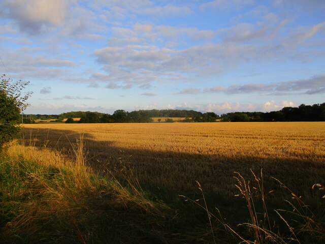
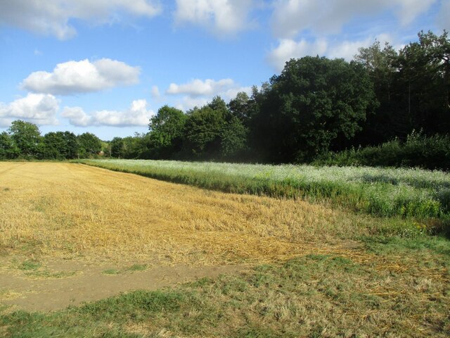
Situated on the outskirts of the village of Suffolk, Paul's Grove is characterized by its dense canopy of towering trees, predominantly consisting of oak, beech, and ash trees. The lush undergrowth is teeming with native flora, including bluebells, wild garlic, and ferns, creating a vibrant and diverse ecosystem.
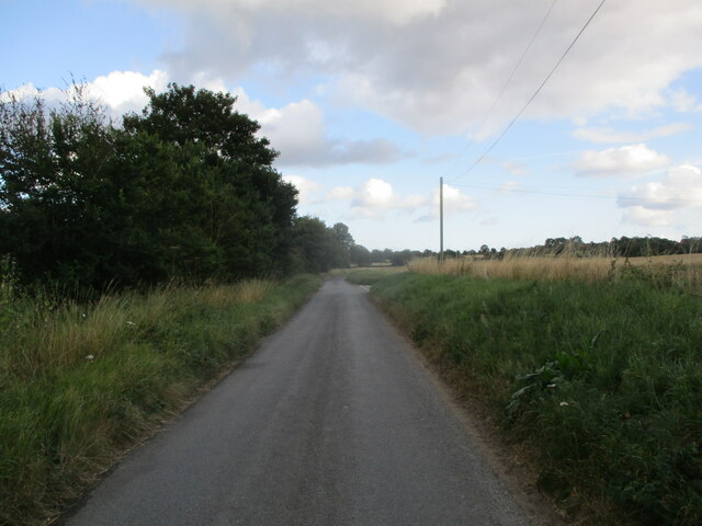
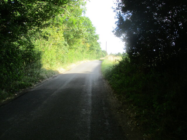
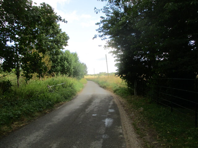
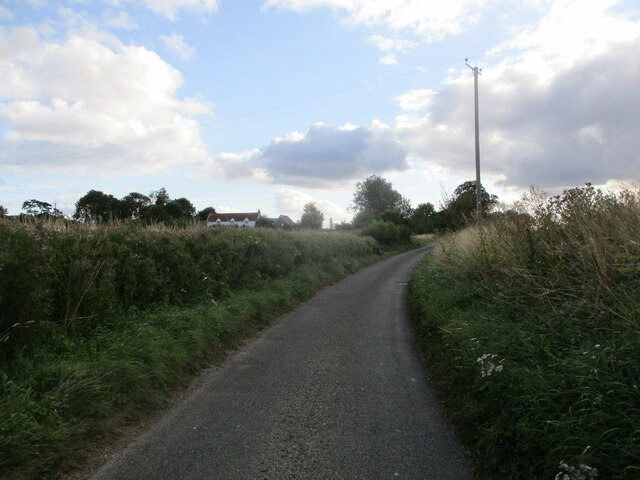
The woodland is intersected by several well-maintained walking trails, allowing visitors to explore and immerse themselves in the natural beauty of the area. As they traverse through the grove, visitors may encounter a variety of wildlife, including deer, foxes, and an array of bird species, making it a haven for wildlife enthusiasts and birdwatchers.
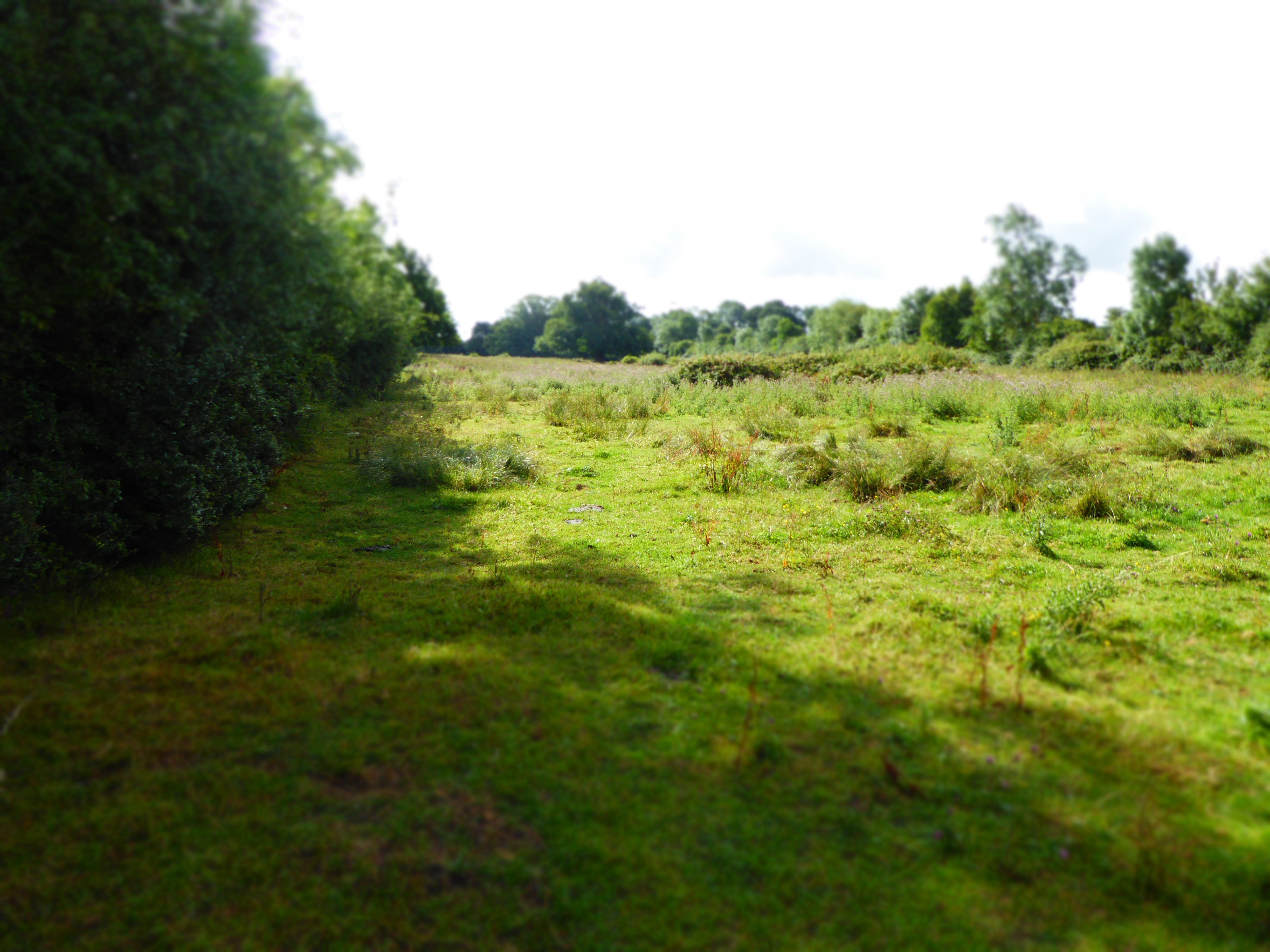
Paul's Grove is not only appreciated for its natural beauty but also for its historical significance. The forest has been a part of the Suffolk countryside for centuries, and remnants of ancient settlements, including burial mounds and earthworks, can be found within its boundaries. These archaeological features offer a glimpse into the rich history of the area, adding another layer of intrigue to the already captivating woodland.
Overall, Paul's Grove in Suffolk provides a peaceful refuge for those seeking solace in nature. With its dense foliage, thriving wildlife, and historical significance, it offers an immersive experience that showcases the natural and cultural heritage of the region.
If you have any feedback on the listing, please let us know in the comments section below.
Paul's Grove Images
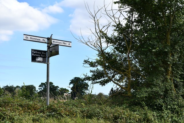
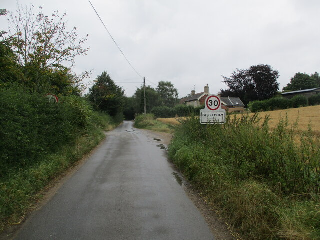
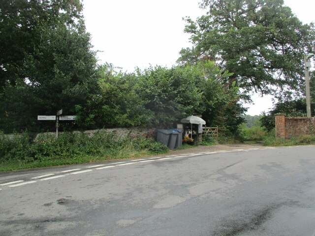
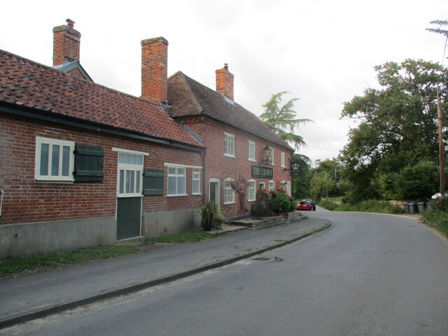
Images are sourced within 2km of 52.204833/1.395785 or Grid Reference TM3261. Thanks to Geograph Open Source API. All images are credited.
Paul's Grove is located at Grid Ref: TM3261 (Lat: 52.204833, Lng: 1.395785)
Administrative County: Suffolk
District: East Suffolk
Police Authority: Suffolk
What 3 Words
///developed.belonged.polished. Near Framlingham, Suffolk
Nearby Locations
Related Wikis
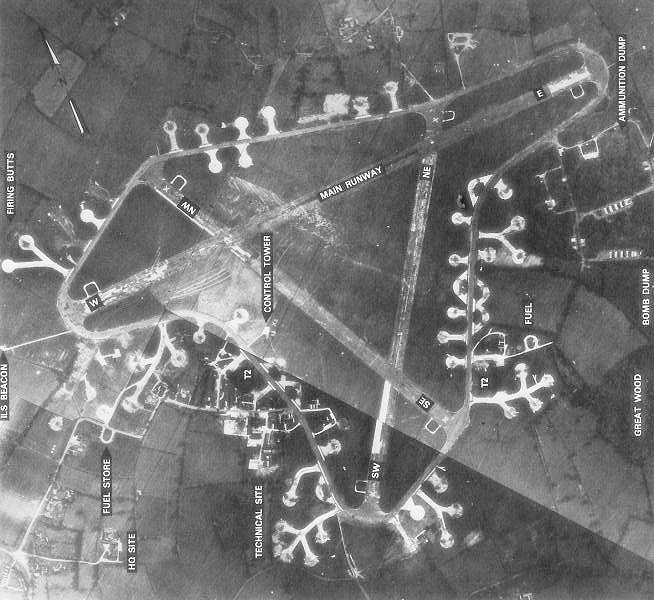
RAF Framlingham
Royal Air Force Framlingham or more simply RAF Framlingham is a former Royal Air Force station located 3 miles (4.8 km) southeast of Framlingham, Suffolk...

Parham Airfield Museum
Parham Airfield Museum is a museum in Framlingham in Suffolk, England. The airfield was named after the village of Parham in Suffolk famously linked to...

Parham, Suffolk
Parham is a village and civil parish in the East Suffolk district of Suffolk in eastern England. Located seven miles north of Woodbridge, in 2005 it had...

Parham railway station
Parham railway station was a station located in Parham, Suffolk.The station opened in 1859 and closed for passenger services in November 1952. == References... ==

Norwich Crag Formation
The Norwich Crag Formation is a stratigraphic unit of the British Pleistocene Epoch. It is the second youngest unit of the Crag Group, a sequence of four...

Great Glemham
Great Glemham is a village and civil parish in the East Suffolk district, England, a mile and a half to the west of the A12 and roughly equidistant between...
Cransford Meadow
Cransford Meadow is a 4.6-hectare (11-acre) biological Site of Special Scientific Interest south of Cransford in Suffolk.This unimproved grassland site...

Parham Hall
Parham Old Hall, also known as Moat Hall, is a moated site and historic medieval mansion close to the village of Parham, in Suffolk, England. Closely associated...
Have you been to Paul's Grove?
Leave your review of Paul's Grove below (or comments, questions and feedback).