Whin Belt
Wood, Forest in Suffolk East Suffolk
England
Whin Belt
Whin Belt, Suffolk is a small woodland area located in the eastern part of England. It covers an approximate area of 50 acres and is situated near the village of Whin Belt. The woodland is characterized by dense trees, predominantly consisting of oak, beech, and birch species. This mix of trees creates a diverse and vibrant ecosystem, providing a habitat for various flora and fauna.
Whin Belt is known for its picturesque beauty, with its lush greenery, vibrant wildflowers, and a tranquil atmosphere. It is a popular destination for nature enthusiasts, hikers, and birdwatchers. The woodland offers a network of footpaths and trails, allowing visitors to explore its beauty and enjoy the peaceful surroundings.
The woodland is home to a variety of wildlife, including deer, foxes, rabbits, and numerous bird species. It provides an excellent opportunity for birdwatchers to observe and appreciate the diverse avian population, including woodpeckers, owls, and various songbirds.
Whin Belt also serves as an important ecological site, contributing to the preservation of biodiversity in the region. The woodland helps maintain the local ecosystem by providing a habitat for various species, improving air quality, and preventing soil erosion.
Overall, Whin Belt in Suffolk is a charming woodland area that offers a serene escape from the hustle and bustle of everyday life. Its natural beauty, diverse wildlife, and ecological significance make it a treasured location for both locals and visitors seeking to connect with nature.
If you have any feedback on the listing, please let us know in the comments section below.
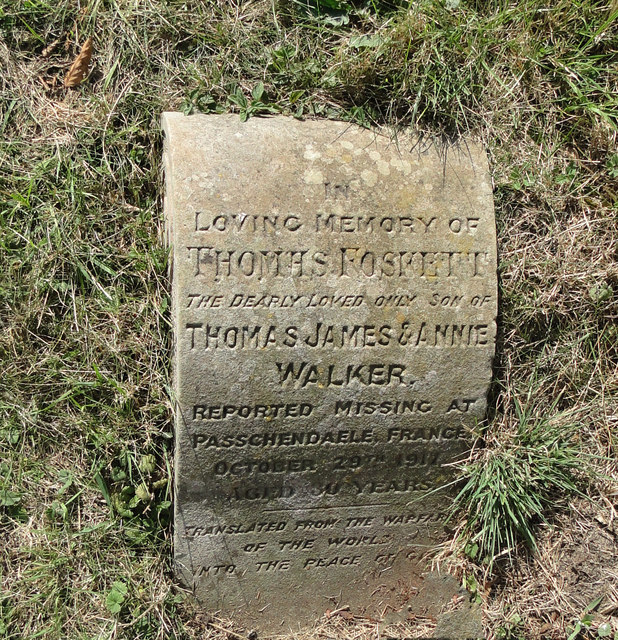
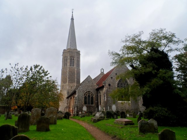
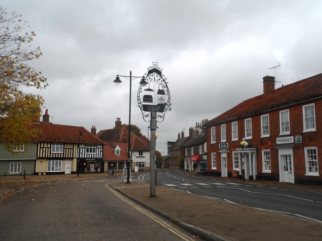
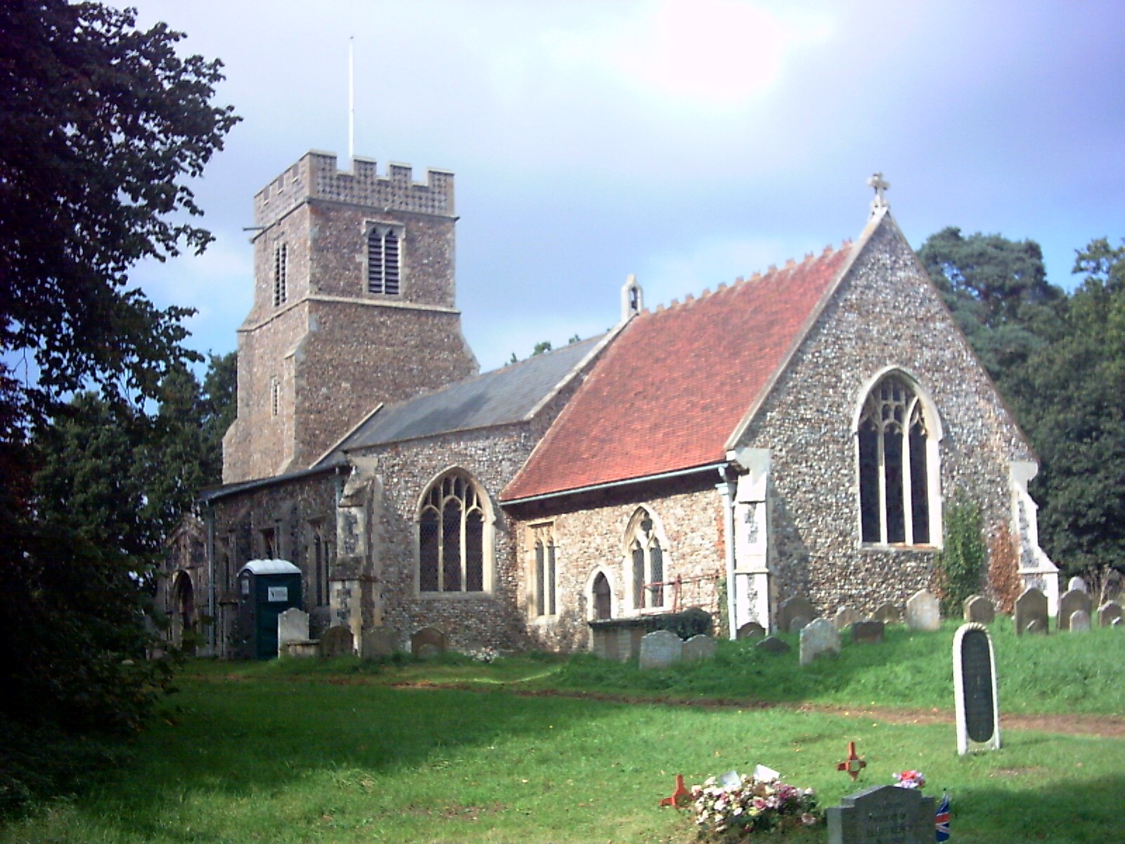
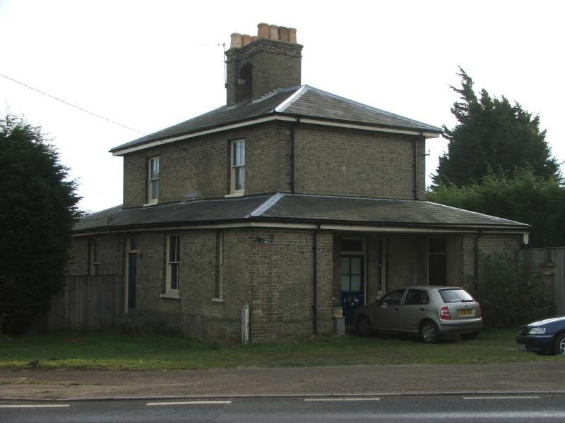
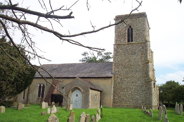
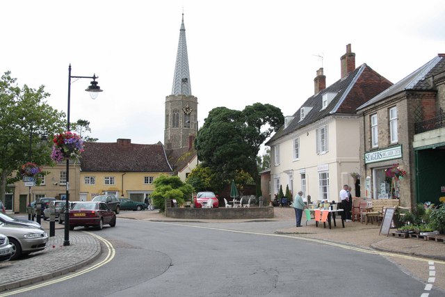
Whin Belt Images
Images are sourced within 2km of 52.165598/1.3830386 or Grid Reference TM3157. Thanks to Geograph Open Source API. All images are credited.


Whin Belt is located at Grid Ref: TM3157 (Lat: 52.165598, Lng: 1.3830386)
Administrative County: Suffolk
District: East Suffolk
Police Authority: Suffolk
What 3 Words
///revolting.airbag.starts. Near Wickham Market, Suffolk
Nearby Locations
Related Wikis

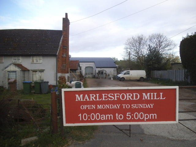
Deben Mill
Deben Mill is a water mill on the River Deben located on the boundary between the civil parishes of Wickham Market and Hacheston, in Suffolk, England....
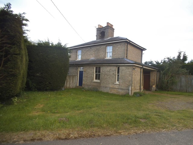
Marlesford
Marlesford is a village and civil parish in the East Suffolk district of Suffolk, England. The population of the civil parish at the 2011 Census was 233...
Marlesford railway station
Marlesford railway station was a station located in Marlesford, Suffolk. It closed in 1952.The station was served by trains that operated between Framlingham...

Wickham Market railway station
Wickham Market railway station is on the East Suffolk Line in the east of England, located in Campsea Ashe, Suffolk, approximately 2 miles (3.2 km) east...

Hacheston Halt railway station
Hacheston Halt railway station was a station located in Hacheston, Suffolk situated on the Framlingham Branch.The branch was opened in 1859, but Hacheston...
Hacheston
Hacheston is a village and a civil parish in the East Suffolk district, in the English county of Suffolk. The population of the parish at the 2011 census...
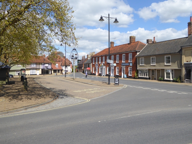
Wickham Market
Wickham Market is a large village and electoral ward in the River Deben valley, Suffolk, England, within the Suffolk Coastal heritage area. It is on the...

Wickham Market Hoard
The Wickham Market Hoard is a hoard of 840 Iron Age gold staters found in a field at Dallinghoo near Wickham Market, Suffolk, England in March 2008 by...
Nearby Amenities
Located within 500m of 52.165598,1.3830386Have you been to Whin Belt?
Leave your review of Whin Belt below (or comments, questions and feedback).