Eight Acre Wood
Wood, Forest in Norfolk South Norfolk
England
Eight Acre Wood

Eight Acre Wood is a charming woodland area located in Norfolk, England. This picturesque forest spans approximately eight acres, hence its name, and is well-known for its natural beauty and peaceful atmosphere.
The wood is primarily composed of a variety of indigenous tree species, including oak, beech, and birch, which create a diverse and colorful canopy. The forest floor is carpeted with an assortment of wildflowers, ferns, and mosses, further enhancing its enchanting ambiance.
Eight Acre Wood is a haven for wildlife enthusiasts, as it is home to a wide range of animals and birds. Visitors may spot deer, rabbits, squirrels, and a myriad of bird species, including woodpeckers, owls, and warblers. The wood's tranquil surroundings also make it an excellent spot for birdwatching, with many birders flocking to the area to observe unique species throughout the year.
There are several walking trails that wind their way through the wood, allowing visitors to explore its natural wonders at their own pace. These paths provide an opportunity to immerse oneself in the peacefulness of the forest, and perhaps even stumble upon hidden clearings or streams.
Eight Acre Wood offers a serene escape from the hustle and bustle of everyday life. Its pristine natural setting and diverse wildlife make it a must-visit destination for nature lovers and those seeking a tranquil retreat in the heart of Norfolk.
If you have any feedback on the listing, please let us know in the comments section below.
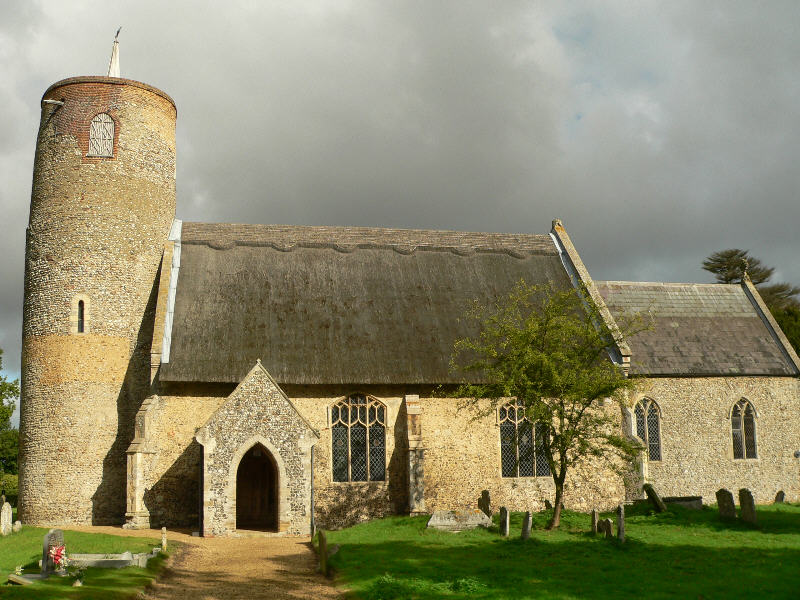
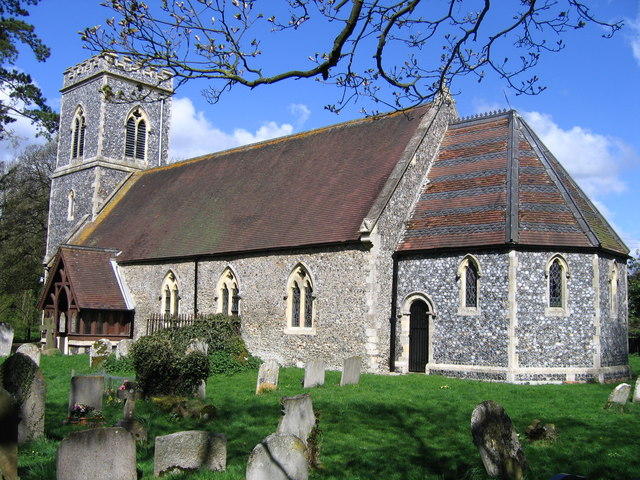
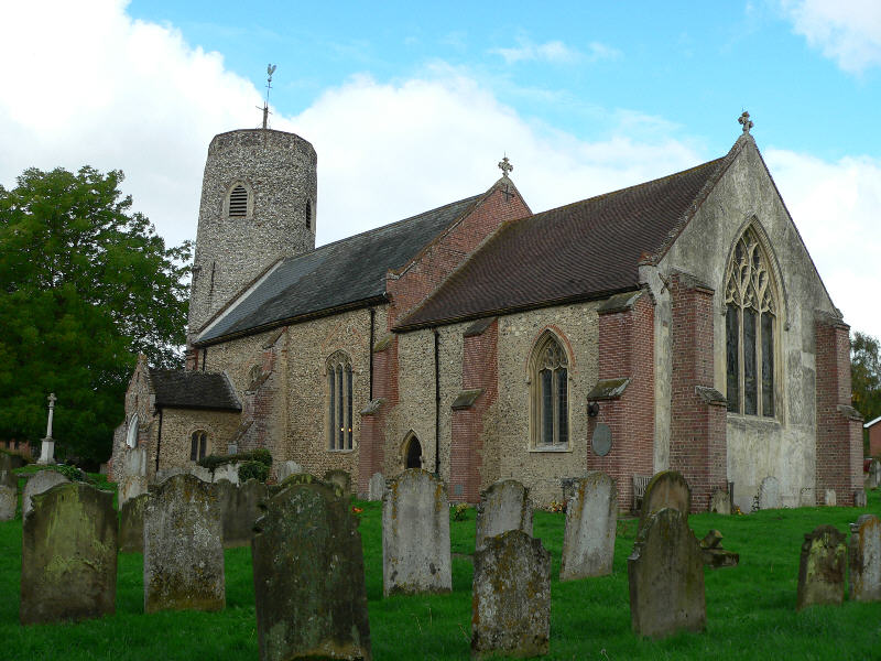
Eight Acre Wood Images
Images are sourced within 2km of 52.537497/1.4099453 or Grid Reference TM3198. Thanks to Geograph Open Source API. All images are credited.


Eight Acre Wood is located at Grid Ref: TM3198 (Lat: 52.537497, Lng: 1.4099453)
Administrative County: Norfolk
District: South Norfolk
Police Authority: Norfolk
What 3 Words
///flanked.relishing.welcome. Near Brooke, Norfolk
Nearby Locations
Related Wikis
Seething
Seething is a village and civil parish in the English county of Norfolk. It is around 8+1⁄2 miles (13.7 km) south-east of Norwich and 2+3⁄4 miles (4.4...

Bergh Apton Anglo-Saxon cemetery
Bergh Apton Anglo-Saxon cemetery is a late-5th to late-6th century Anglo-Saxon burial site discovered at Bergh Apton, Norfolk. The site was excavated in...
Kirstead
Kirstead is a civil parish in the English county of Norfolk. The main settlement is Kirstead Green. The parish covers an area of 4.19 km2 (1.62 sq mi)...
Brooke, Norfolk
Brooke is a village and civil parish in the South Norfolk district of Norfolk, England, about 7 miles south of Norwich and roughly equidistant from Norwich...

Mundham
Mundham, historically Mundaham or Mundhala, is a small village and civil parish in the county of Norfolk, England. Archaeological and toponymic evidence...

Kirstead Green
Kirstead Green is a village in the English county of Norfolk. Administratively it is part of the civil parish of Kirstead within the district of South...

Bergh Apton
Bergh Apton is a village and civil parish in the South Norfolk district of Norfolk, England, 7 miles (11 km) south-east of Norwich just south of the A146...

Thurton
Thurton is a village in South Norfolk lying 8½ miles (13½ km) south-east of Norwich on the A146 Norwich to Lowestoft road between Framingham Pigot and...
Nearby Amenities
Located within 500m of 52.537497,1.4099453Have you been to Eight Acre Wood?
Leave your review of Eight Acre Wood below (or comments, questions and feedback).