Bacton Wood
Wood, Forest in Norfolk North Norfolk
England
Bacton Wood
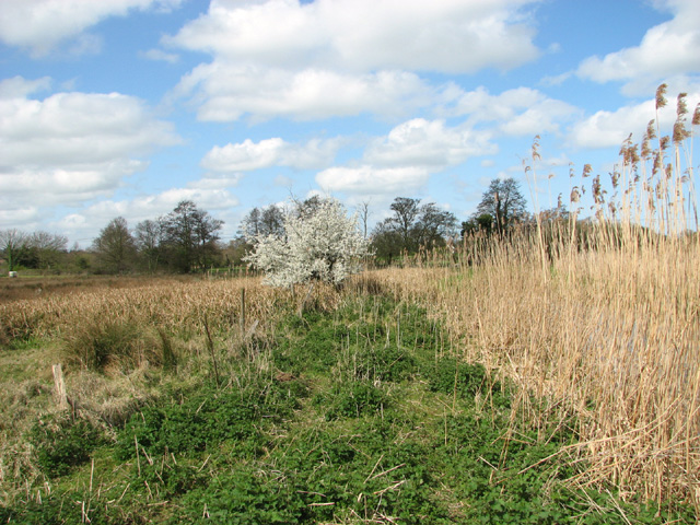
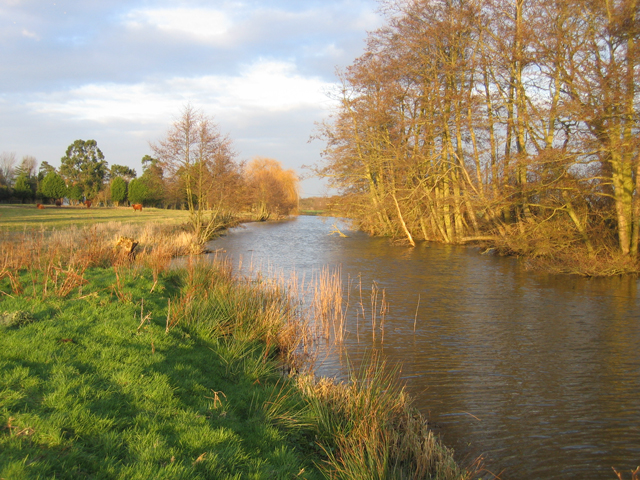
Bacton Wood is a beautiful woodland located in Norfolk, England. Situated near the village of Bacton, it covers an area of approximately 280 acres and is managed by the Forestry Commission. This ancient woodland has a rich history and is a popular destination for nature enthusiasts and outdoor lovers.
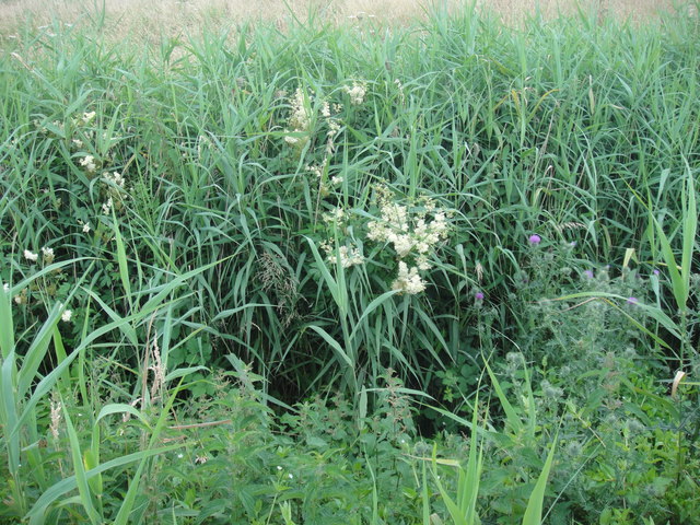
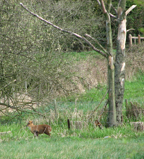
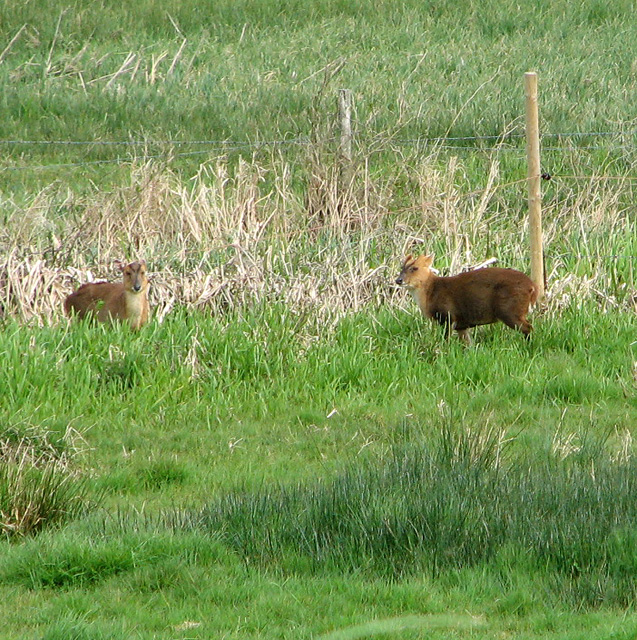
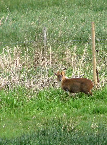
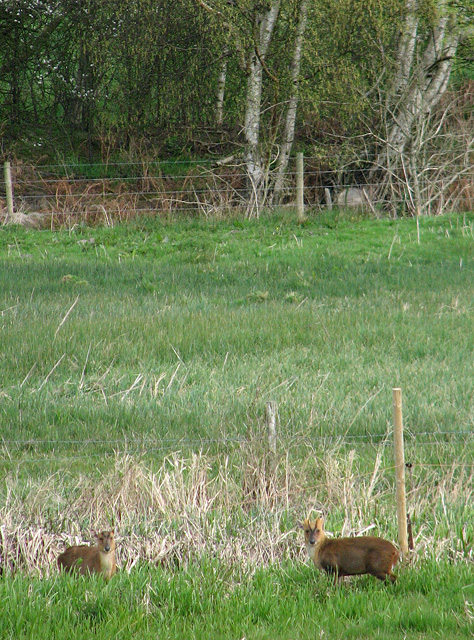
The wood is predominantly composed of mixed broadleaf trees, including oak, beech, ash, and birch, creating a diverse and vibrant ecosystem. These trees provide a habitat for a wide variety of wildlife, including deer, foxes, badgers, and numerous bird species. Visitors can often spot woodpeckers, owls, and other woodland birds while exploring the area.
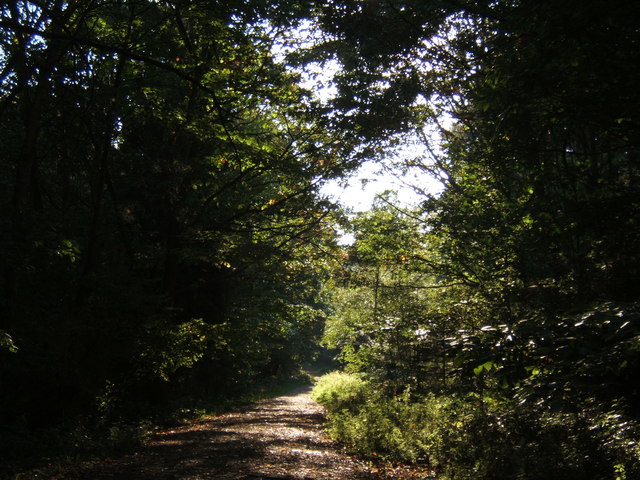
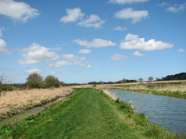
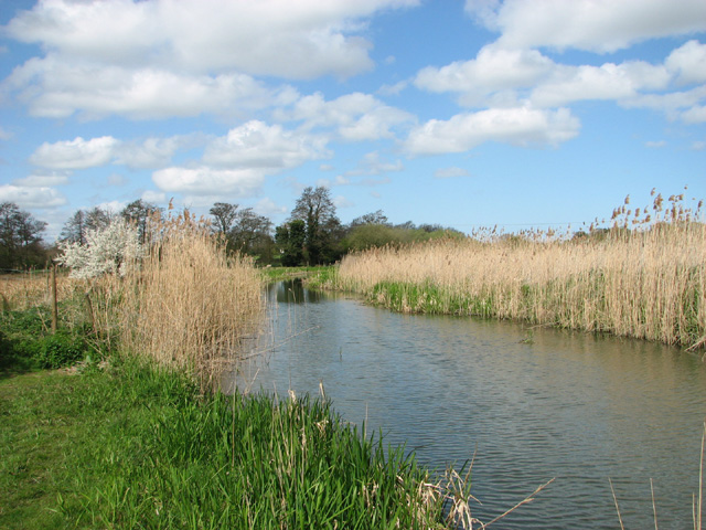
Bacton Wood offers a range of walking trails, allowing visitors to immerse themselves in the peaceful surroundings. The trails meander through the woodland, passing through enchanting glades and alongside babbling brooks. The wood also features a picnic area, making it a perfect spot for a family day out.
In addition to its natural beauty, Bacton Wood has historical significance. The area was once part of the royal hunting grounds during the medieval period. Remnants of ancient earthworks and ditches can still be seen today, serving as a reminder of the wood's past.
Overall, Bacton Wood is a captivating destination that offers a tranquil escape from the hustle and bustle of everyday life. With its stunning scenery, diverse wildlife, and rich history, it is a must-visit location for anyone seeking to reconnect with nature in Norfolk.
If you have any feedback on the listing, please let us know in the comments section below.
Bacton Wood Images
Images are sourced within 2km of 52.827041/1.4310066 or Grid Reference TG3131. Thanks to Geograph Open Source API. All images are credited.


Bacton Wood is located at Grid Ref: TG3131 (Lat: 52.827041, Lng: 1.4310066)
Administrative County: Norfolk
District: North Norfolk
Police Authority: Norfolk
What 3 Words
///last.sizzled.cassettes. Near North Walsham, Norfolk
Nearby Locations
Related Wikis

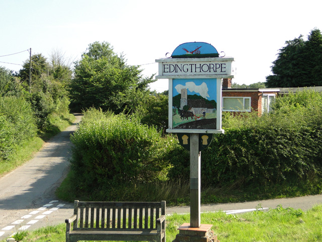
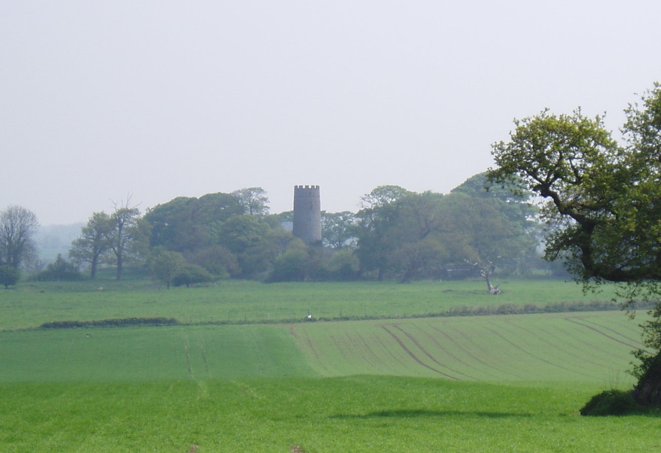
Edingthorpe
Edingthorpe Edingthorpe is a small village and former civil parish, now in the parish of Bacton, in the North Norfolk district, in the county of Norfolk...

Pigneys Wood
Pigneys Wood or Pigney's Wood is a 20.9-hectare (52-acre) Local Nature Reserve north of North Walsham in Norfolk. It was formerly owned by the North Norfolk...

Knapton Cutting
Knapton Cutting Butterfly Reserve is a 0.9-hectare (2.2-acre) Local Nature Reserve (LNR) south of Knapton in Norfolk. It is owned and managed by North...
Knapton
Knapton is a village and a civil parish in the English county of Norfolk. The village is 8.9 miles (14.3 km) southeast of Cromer, 19.4 miles (31.2 km)...
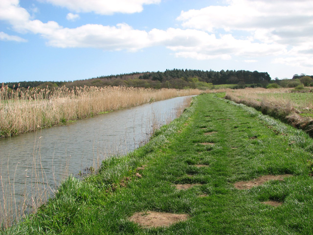
North Walsham & Dilham Canal
The North Walsham and Dilham Canal is a waterway in the English county of Norfolk. It was authorised by Parliament in 1812, but work on the construction...
North Walsham High School
North Walsham High School is a co-educational secondary school located in North Walsham in the English county of Norfolk. On the same site there is the...
Witton, North Norfolk
Witton is a village and civil parish in the English county of Norfolk. It is located 8 km (5.0 mi) east of the town of North Walsham and 30 km (19 mi)...
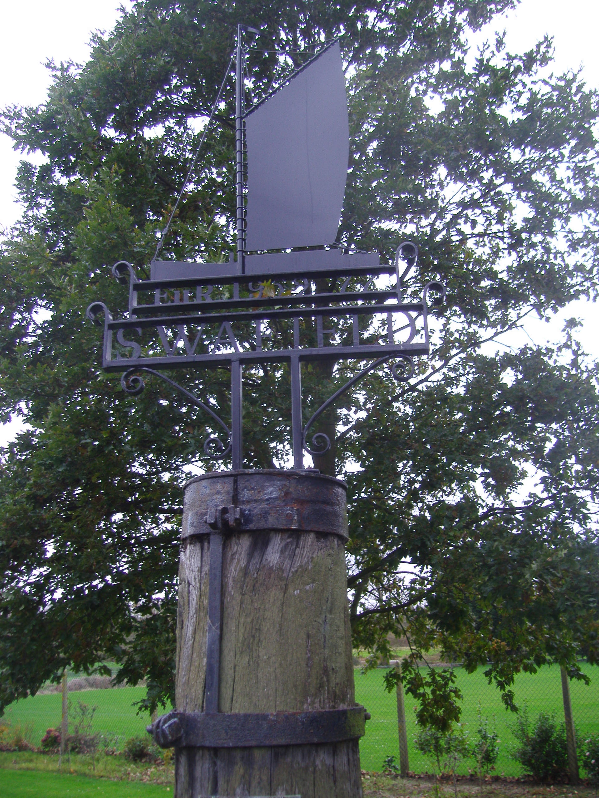
Swafield
Swafield is a village and a civil parish in the English county of Norfolk. The village is 16.4 miles (26.4 km) north north east of Norwich, 10.1 miles...
Nearby Amenities
Located within 500m of 52.827041,1.4310066Have you been to Bacton Wood?
Leave your review of Bacton Wood below (or comments, questions and feedback).