Belle Grove
Wood, Forest in Norfolk North Norfolk
England
Belle Grove
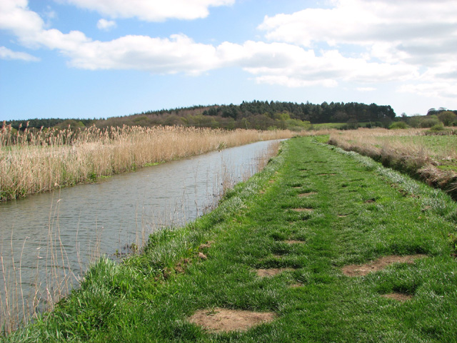
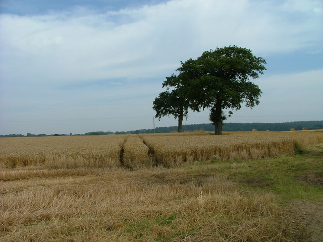
Belle Grove, Norfolk is a picturesque wood and forest located in the heart of Norfolk, England. Spanning over a vast area, Belle Grove is known for its natural beauty and serene atmosphere. The wood is situated approximately 10 miles northwest of Norwich, making it easily accessible for both locals and tourists.
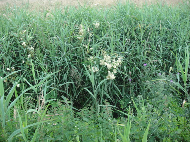
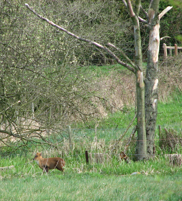
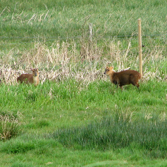
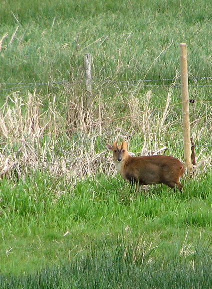
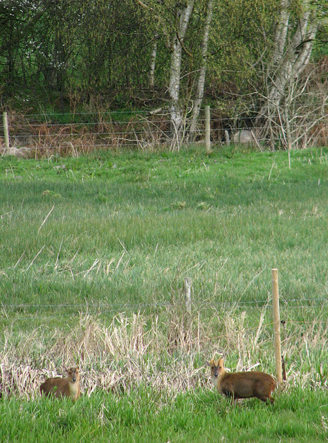
Belle Grove is home to a diverse range of tree species, including oak, beech, and pine, which create a stunning and vibrant landscape throughout the year. The forest floor is adorned with an array of wildflowers and ferns, adding to its enchanting appeal. This rich biodiversity attracts nature enthusiasts and birdwatchers, as the wood is a haven for various bird species and small mammals.
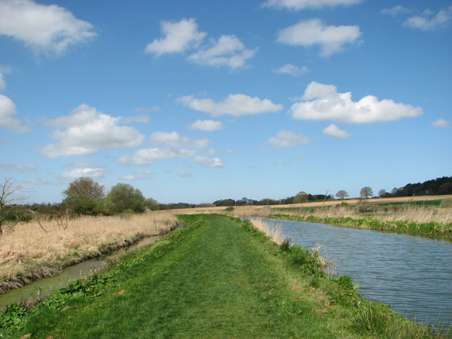
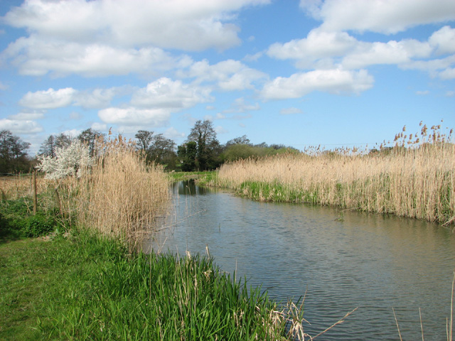
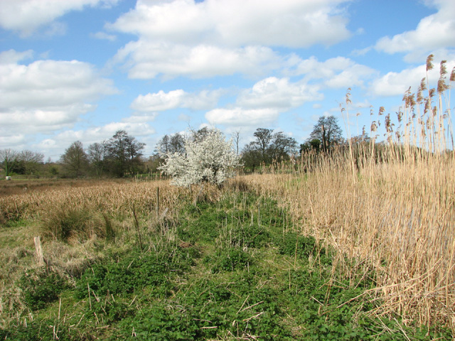
The wood also features several well-maintained walking trails and paths, providing visitors with the opportunity to explore the surroundings at their own pace. These trails offer stunning views of the wood, with occasional glimpses of wildlife. Along the way, visitors may stumble upon hidden glades and peaceful clearings, perfect for a picnic or a moment of tranquility.
Belle Grove is a popular destination for outdoor activities such as hiking, jogging, and cycling. The wood is also equipped with designated areas for camping and barbecues, making it an ideal spot for family gatherings and outdoor events.
Overall, Belle Grove, Norfolk is a natural gem that offers a peaceful and idyllic escape from the hustle and bustle of everyday life. Its diverse flora and fauna, coupled with its well-maintained trails, make it a must-visit destination for nature lovers and those seeking a tranquil retreat.
If you have any feedback on the listing, please let us know in the comments section below.
Belle Grove Images
Images are sourced within 2km of 52.805359/1.4284222 or Grid Reference TG3128. Thanks to Geograph Open Source API. All images are credited.


Belle Grove is located at Grid Ref: TG3128 (Lat: 52.805359, Lng: 1.4284222)
Administrative County: Norfolk
District: North Norfolk
Police Authority: Norfolk
What 3 Words
///screen.dose.supported. Near North Walsham, Norfolk
Nearby Locations
Related Wikis
North Walsham & Dilham Canal
The North Walsham and Dilham Canal is a waterway in the English county of Norfolk. It was authorised by Parliament in 1812, but work on the construction...
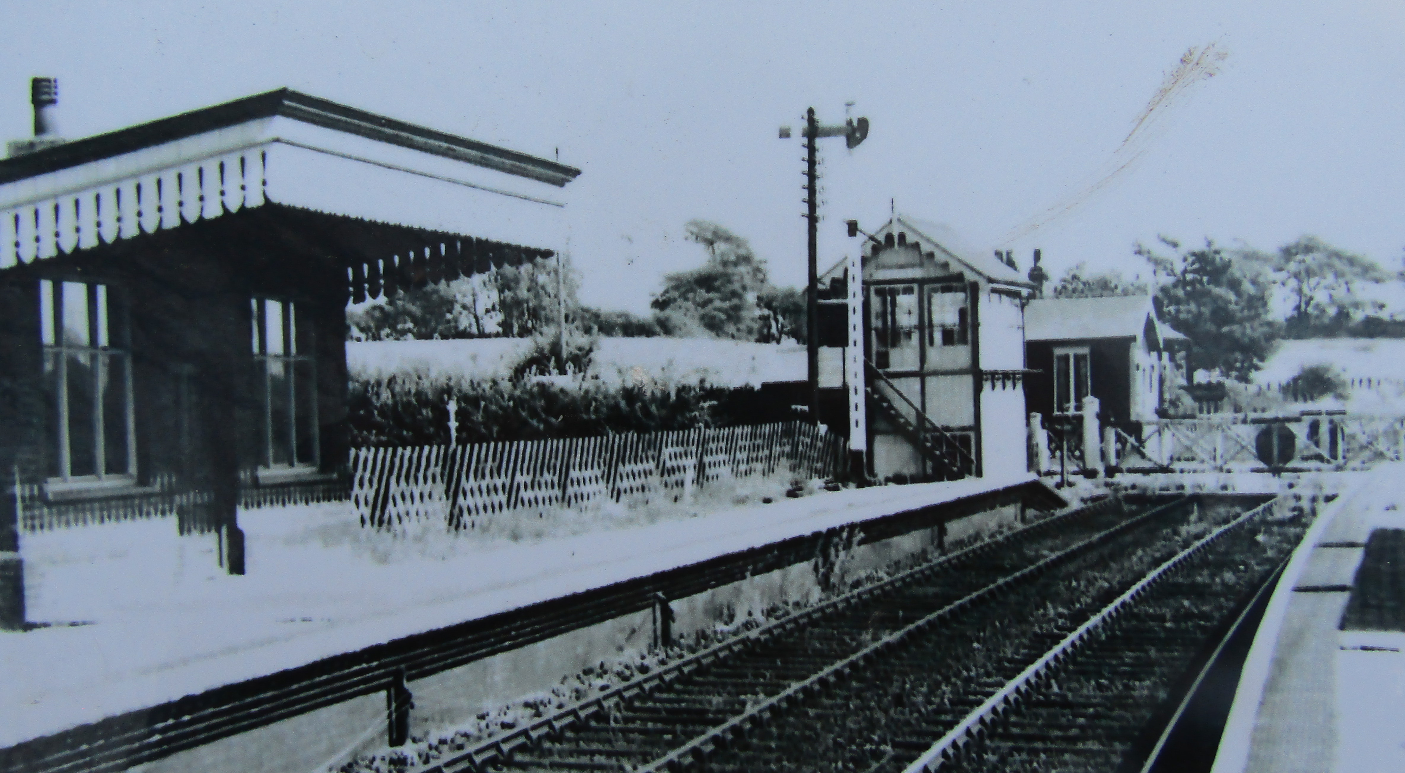
Honing railway station
Honing railway station was a station in Norfolk, England, serving the small village of Honing. It was on the Midland and Great Northern Joint Railway between...

Bengate
Bengate is a hamlet in Norfolk, England, and falls within the civil parish of Worstead. There is little in Bengate, but it is known for the Weavers' Way...
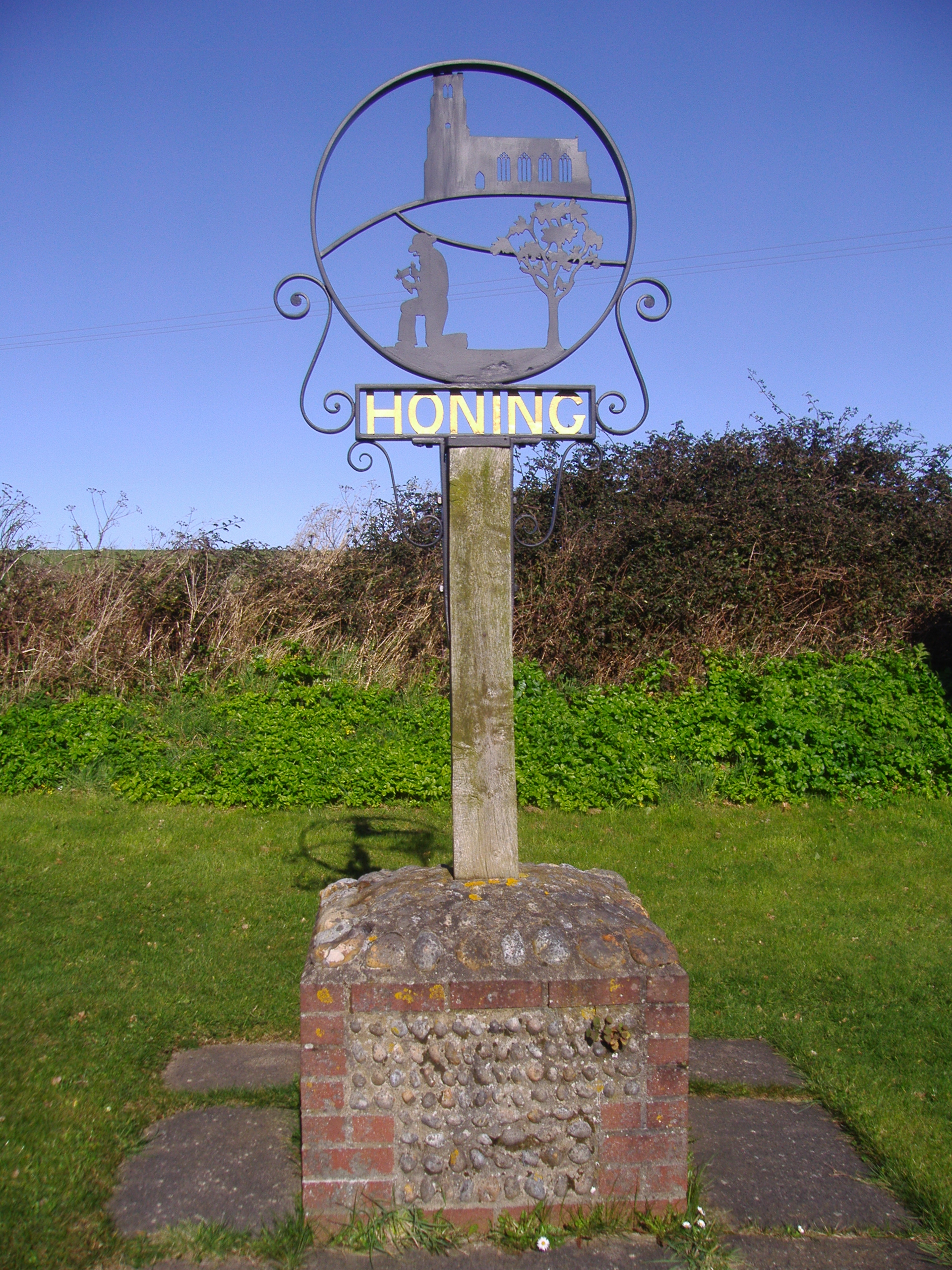
Honing, Norfolk
Honing is a village and a civil parish in the English county of Norfolk. The village is 15 miles (24 km) north-northeast of Norwich, 13 miles (21 km) south...

Worstead
Worstead is a village and civil parish in the English county of Norfolk. It lies 3 miles (5 km) south of North Walsham, 5 miles (8 km) north of Wroxham...
North Walsham High School
North Walsham High School is a co-educational secondary school located in North Walsham in the English county of Norfolk. On the same site there is the...

Edingthorpe
Edingthorpe Edingthorpe is a small village and former civil parish, now in the parish of Bacton, in the North Norfolk district, in the county of Norfolk...
East Ruston Common
East Ruston Common is a 34.5-hectare (85-acre) biological Site of Special Scientific Interest south-east of North Walsham om Norfolk.This is an area of...
Have you been to Belle Grove?
Leave your review of Belle Grove below (or comments, questions and feedback).