School Plantation
Wood, Forest in Suffolk East Suffolk
England
School Plantation
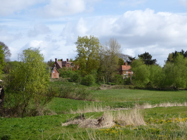
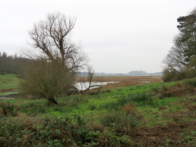
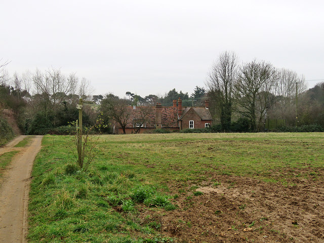
School Plantation, Suffolk, also known as Wood or Forest, is a vast area of woodland located in the county of Suffolk, England. Covering several acres, this plantation is a natural haven filled with a diverse range of flora and fauna.
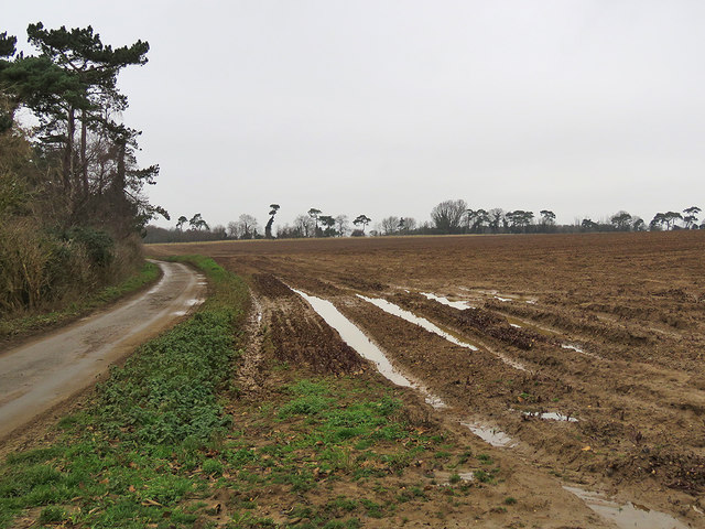
The forest is characterized by its dense canopy of towering trees, predominantly consisting of oak, beech, and ash. These majestic trees provide shelter and a habitat for a variety of wildlife, including deer, foxes, badgers, and numerous bird species. The forest floor is carpeted with a rich undergrowth of ferns, bluebells, and wildflowers, adding to the area's natural beauty.
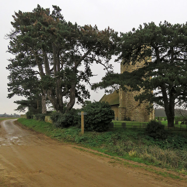
School Plantation is a popular destination for nature enthusiasts, hikers, and birdwatchers due to its tranquil and serene ambiance. The well-maintained walking trails meander through the woodland, allowing visitors to immerse themselves in the peaceful surroundings and enjoy the sounds of nature.
In addition to its recreational value, School Plantation also plays a vital role in conservation efforts. It serves as a crucial habitat for many endangered species, contributing to the preservation of biodiversity in the region.
The plantation is easily accessible, with well-marked entrances and ample parking facilities for visitors. The Suffolk County Council takes pride in maintaining the area, ensuring the preservation of the woodland's natural charm.
Overall, School Plantation, Suffolk is a picturesque woodland retreat that offers a serene escape from the hustle and bustle of everyday life. With its diverse ecosystem and beautiful scenery, it is a hidden gem for nature lovers and a testament to the importance of preserving our natural habitats.
If you have any feedback on the listing, please let us know in the comments section below.
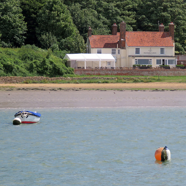
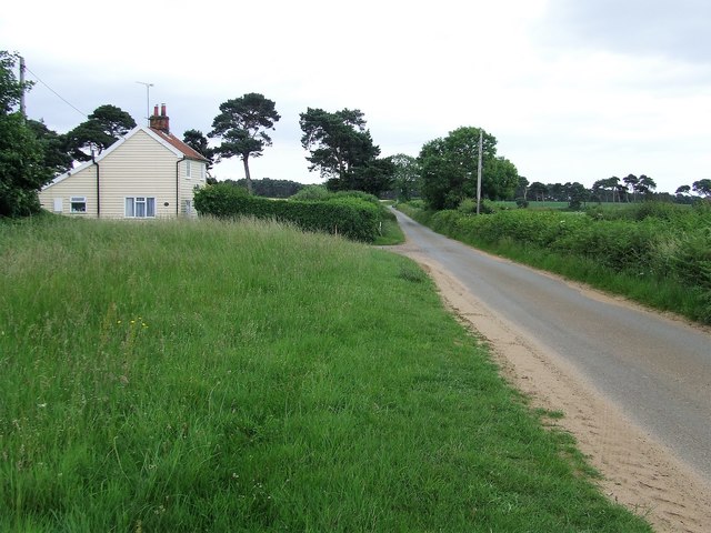
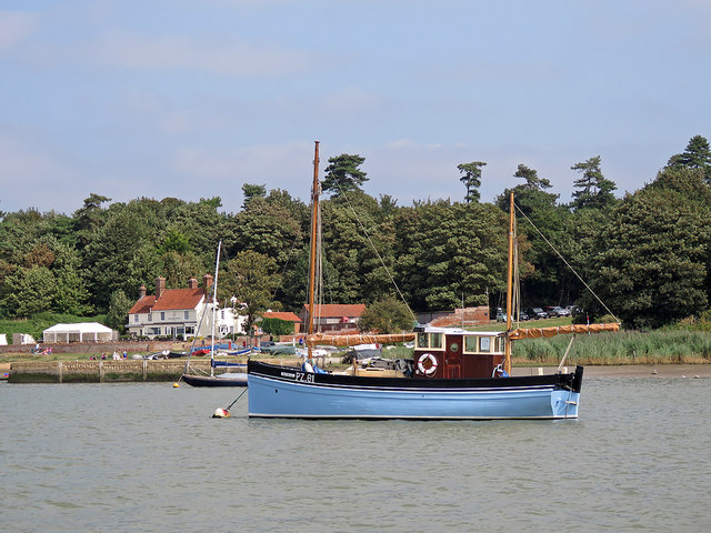
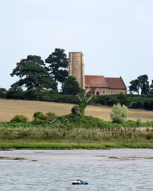
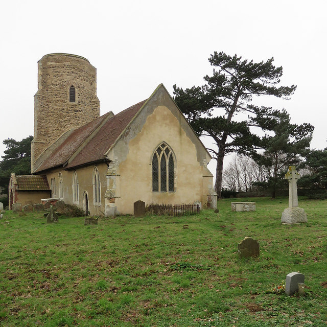
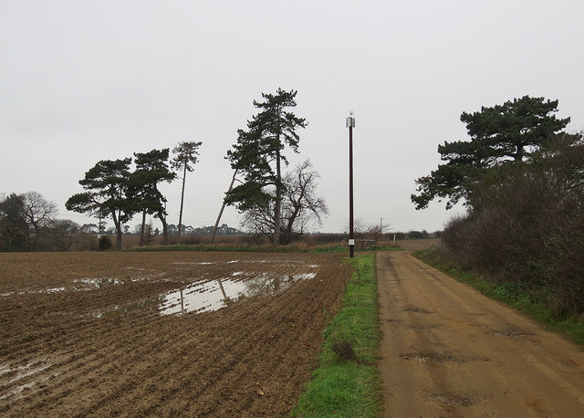
School Plantation Images
Images are sourced within 2km of 52.026815/1.3648176 or Grid Reference TM3041. Thanks to Geograph Open Source API. All images are credited.
School Plantation is located at Grid Ref: TM3041 (Lat: 52.026815, Lng: 1.3648176)
Administrative County: Suffolk
District: East Suffolk
Police Authority: Suffolk
What 3 Words
///dozens.dweller.dares. Near Felixstowe, Suffolk
Nearby Locations
Related Wikis

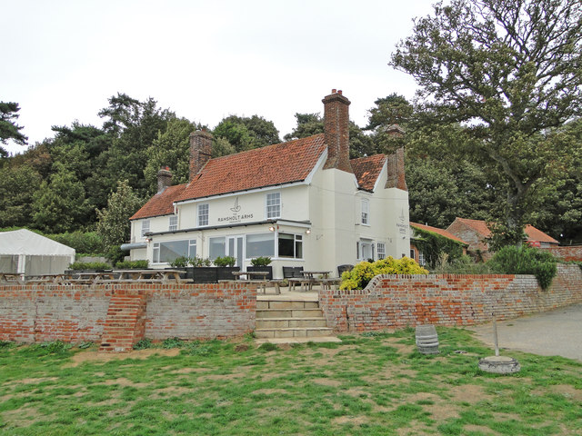
Ramsholt
Ramsholt is a small village and civil parish within the East Suffolk district, located in the county of Suffolk, England. It is situated on the northern...

Ramsholt Cliff
Ramsholt Cliff is a 2.1-hectare (5.2-acre) geological Site of Special Scientific Interest north-west of Ramsholt in Suffolk. It is a Geological Conservation...

Deben Estuary
Deben Estuary is a 981.1-hectare (2,424-acre) biological Site of Special Scientific Interest (SSSI) covering the River Deben and its banks 12 kilometres...

Rockhall Wood Pit, Sutton
Rockhall Wood Pit, Sutton is a 5.3-hectare (13-acre) geological Site of Special Scientific Interest west of Shottisham in Suffolk. It is a Geological Conservation...

Hemley
Hemley is a village and a civil parish in the East Suffolk district, in the English county of Suffolk. It is located near the River Deben. Nearby settlements...
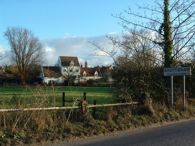
Shottisham
Shottisham is a village and civil parish in the East Suffolk district, in the county of Suffolk. It lies in the Wilford Hundred, about four and a half...

Wilford Hundred
Wilford is a hundred of Suffolk, consisting of 31,500 acres (127 km2).Wilford Hundred extends about 12 miles (19 km) southward from Debach to Woodbridge...

Falkenham
Falkenham is a village and a civil parish in the East Suffolk district, in the English county of Suffolk, near the village of Kirton and the towns of Ipswich...
Nearby Amenities
Located within 500m of 52.026815,1.3648176Have you been to School Plantation?
Leave your review of School Plantation below (or comments, questions and feedback).