Boys Firs
Wood, Forest in Kent Dover
England
Boys Firs

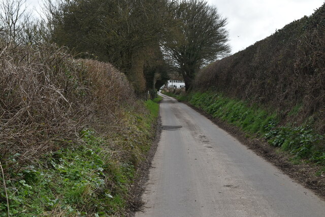
Boys Firs is a small wooded area located in Kent, England. It is commonly known as Boys Firs due to the abundance of fir trees that dominate the landscape. The forest is situated on the outskirts of a rural village, providing a peaceful and serene atmosphere for visitors.
Covering an area of approximately 10 acres, Boys Firs is a popular destination for nature enthusiasts and hikers. The forest is home to a variety of flora and fauna, including oak, beech, and birch trees, as well as bluebells and wildflowers that bloom during the spring season. The lush vegetation creates a vibrant and picturesque setting, attracting photographers and artists alike.
The forest is crisscrossed with well-maintained footpaths, making it easy for visitors to explore and appreciate the natural beauty. The trails wind through the tall trees, giving a sense of being immersed in nature. Along the paths, there are occasional benches and picnic spots, allowing for a peaceful break or a leisurely lunch amidst the tranquil surroundings.
Boys Firs is also home to a diverse range of wildlife, providing opportunities for birdwatching and animal spotting. Visitors may catch glimpses of squirrels, rabbits, and various bird species, adding to the enchanting experience of being in the forest.
Overall, Boys Firs in Kent offers a delightful escape from the hustle and bustle of everyday life. With its serene ambiance, beautiful scenery, and abundant wildlife, it is a perfect destination for those seeking a peaceful retreat in the heart of nature.
If you have any feedback on the listing, please let us know in the comments section below.
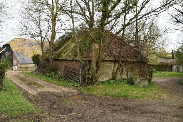
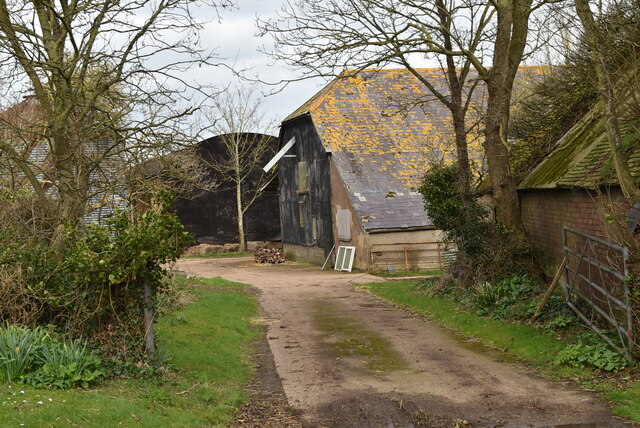
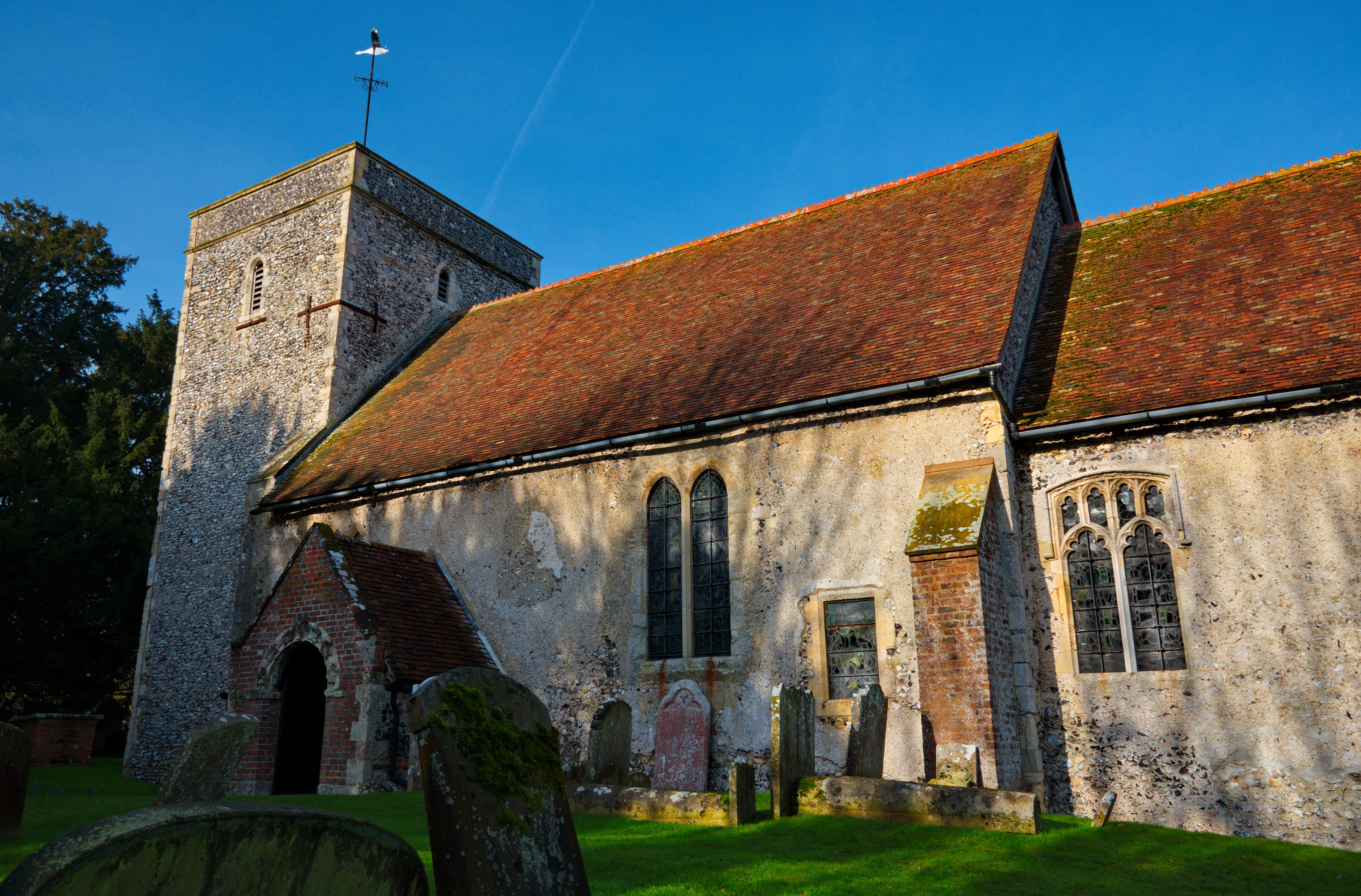
Boys Firs Images
Images are sourced within 2km of 51.207109/1.3016724 or Grid Reference TR3050. Thanks to Geograph Open Source API. All images are credited.


Boys Firs is located at Grid Ref: TR3050 (Lat: 51.207109, Lng: 1.3016724)
Administrative County: Kent
District: Dover
Police Authority: Kent
What 3 Words
///visits.mailer.corkscrew. Near Eythorne, Kent
Nearby Locations
Related Wikis

West Studdal
West Studdal is a village near Dover in Kent, England. The population of the village is included in the civil parish of Sutton.
Tilmanstone
Tilmanstone is a small village and civil parish in Kent, in the South East of England, near Eastry, a much bigger and more developed area. Tilmanstone...
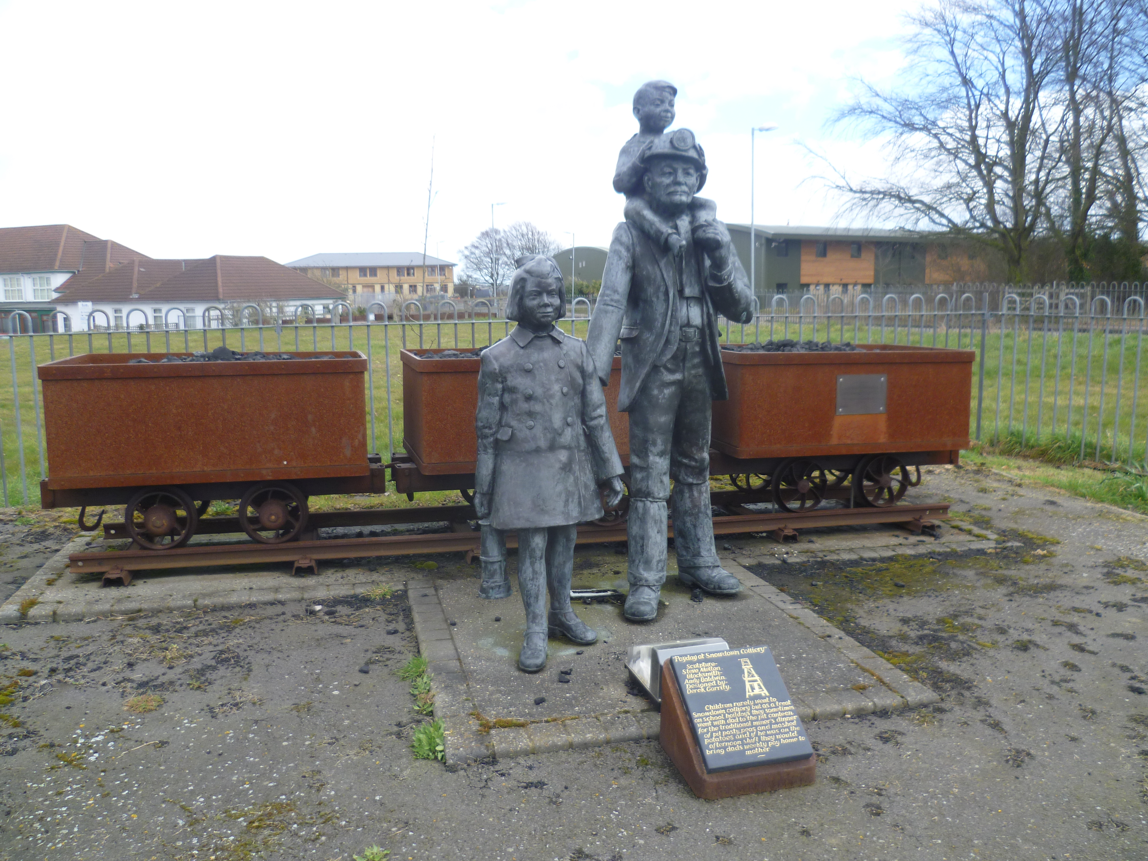
Kent Coalfield
The Kent Coalfield is a coalfield in the eastern part of the English county of Kent. The Coalfields Trust defines the Kent Coalfield as the wards of Barham...
East Studdal
East Studdal is a village near Dover in Kent, England. The population of the village is included in the civil parish of Sutton. == References == ��2�...
Ashley, Kent
Ashley (also known, signposted and marked on some maps as Sutton) is a hamlet located in the parish of Sutton, some five miles (8 km) north of Dover on...

Tilmanstone Colliery Halt railway station
Tilmanstone Colliery Halt was a station on the East Kent Light Railway. It opened on 16 October 1916 and was renamed Elvington in 1925. It closed to passenger...

Betteshanger
Betteshanger is a village and former civil parish. now in the parish of Northbourne, in the Dover district, in east Kent, UK, near Deal. It gave its name...

All Saints Church, Waldershare
All Saints Church is a redundant Anglican church in Waldershare, Kent, England. It is recorded in the National Heritage List for England as a designated...
Nearby Amenities
Located within 500m of 51.207109,1.3016724Have you been to Boys Firs?
Leave your review of Boys Firs below (or comments, questions and feedback).