Cragpit Plantation
Wood, Forest in Suffolk East Suffolk
England
Cragpit Plantation
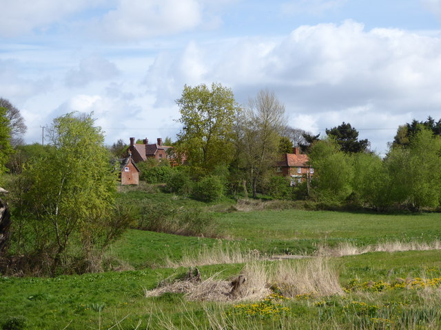
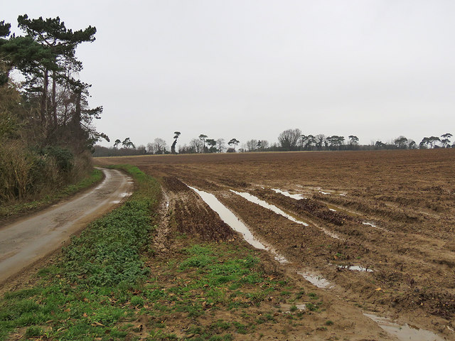
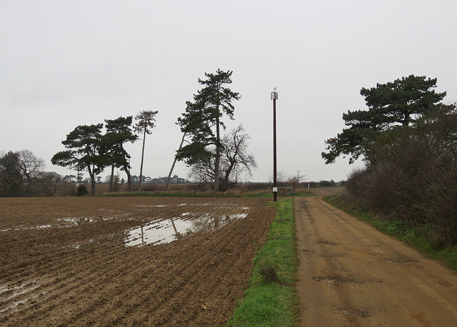
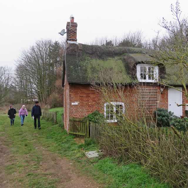
Cragpit Plantation is a picturesque woodland located in Suffolk, England. Covering an area of approximately 500 acres, it is a popular destination for nature enthusiasts and those seeking tranquility amidst the beauty of nature. The plantation is situated in the heart of Suffolk, just a few miles away from the village of Woodbridge.
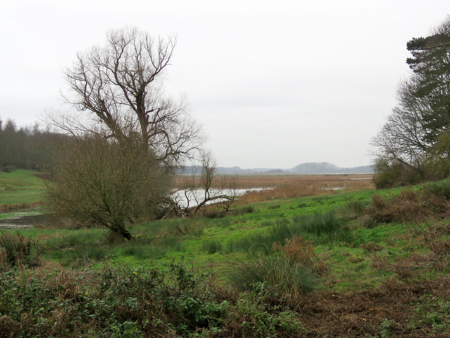
The woodland of Cragpit Plantation is predominantly composed of a mix of deciduous and coniferous trees, creating a diverse and enchanting landscape. Ancient oaks, majestic beech trees, and towering pines are just a few of the species that can be found here, providing a habitat for a wide variety of wildlife. Visitors to the plantation may spot deer, foxes, badgers, and an abundance of bird species, including woodpeckers and owls.
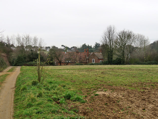
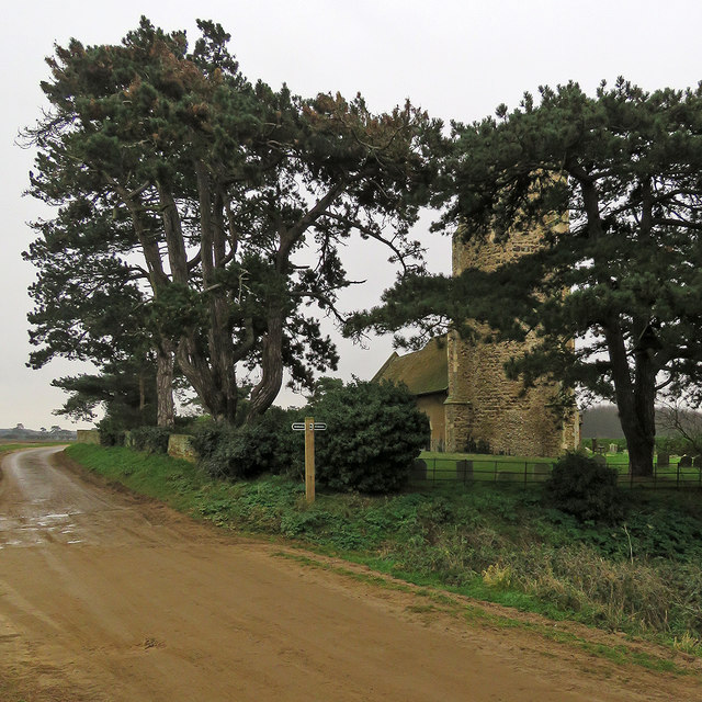
A network of well-maintained footpaths and trails wind their way through the woodland, offering visitors the opportunity to explore the plantation on foot or by bicycle. The paths lead to scenic viewpoints, tranquil ponds, and open glades, providing ample spots for picnics or a moment of quiet reflection.
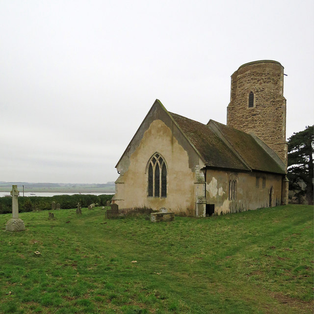
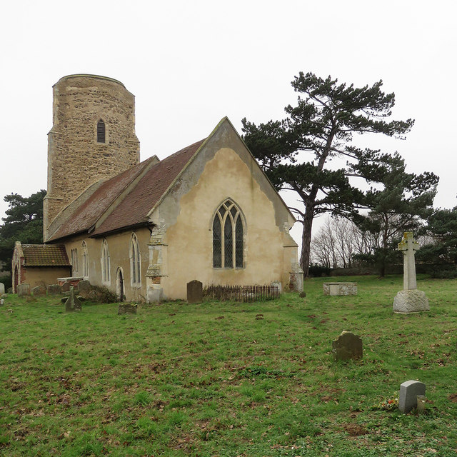
Cragpit Plantation is also known for its rich history. It was once part of a larger estate and has been managed as a woodland since the early 19th century. Today, it is cared for by a local conservation organization, ensuring its preservation for future generations to enjoy.
With its natural beauty, diverse wildlife, and historical significance, Cragpit Plantation is a true gem of Suffolk's countryside, attracting both locals and tourists alike.
If you have any feedback on the listing, please let us know in the comments section below.
Cragpit Plantation Images
Images are sourced within 2km of 52.029434/1.3562507 or Grid Reference TM3042. Thanks to Geograph Open Source API. All images are credited.
Cragpit Plantation is located at Grid Ref: TM3042 (Lat: 52.029434, Lng: 1.3562507)
Administrative County: Suffolk
District: East Suffolk
Police Authority: Suffolk
What 3 Words
///curl.engraving.possible. Near Felixstowe, Suffolk
Nearby Locations
Related Wikis

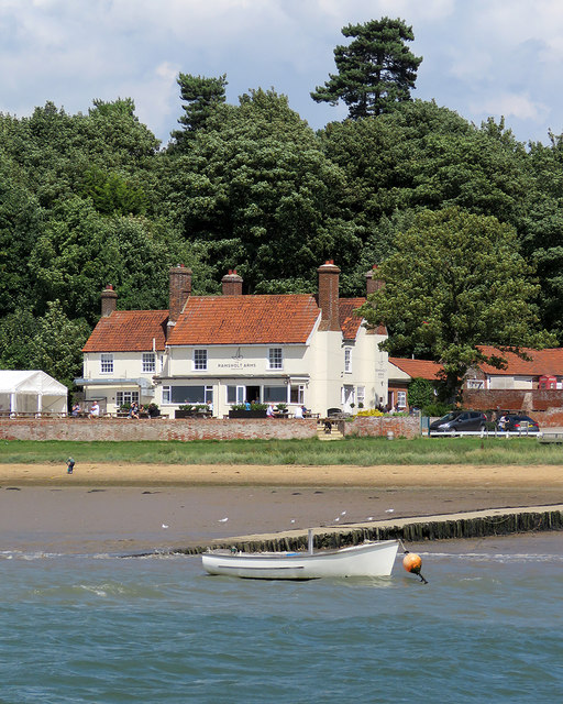
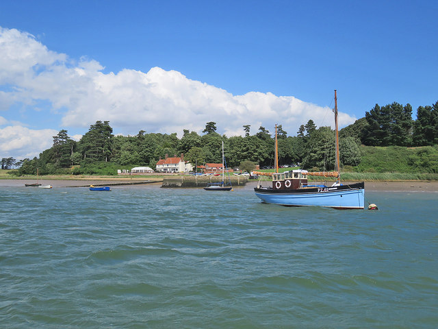
Ramsholt
Ramsholt is a small village and civil parish within the East Suffolk district, located in the county of Suffolk, England. It is situated on the northern...

Ramsholt Cliff
Ramsholt Cliff is a 2.1-hectare (5.2-acre) geological Site of Special Scientific Interest north-west of Ramsholt in Suffolk. It is a Geological Conservation...

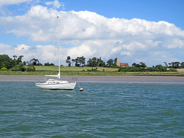
Deben Estuary
Deben Estuary is a 981.1-hectare (2,424-acre) biological Site of Special Scientific Interest (SSSI) covering the River Deben and its banks 12 kilometres...

Hemley
Hemley is a village and a civil parish in the East Suffolk district, in the English county of Suffolk. It is located near the River Deben. Nearby settlements...

Rockhall Wood Pit, Sutton
Rockhall Wood Pit, Sutton is a 5.3-hectare (13-acre) geological Site of Special Scientific Interest west of Shottisham in Suffolk. It is a Geological Conservation...
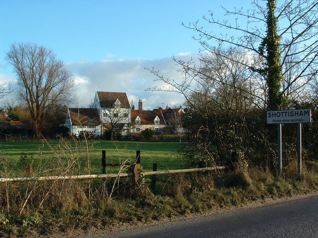
Shottisham
Shottisham is a village and civil parish in the East Suffolk district, in the county of Suffolk. It lies in the Wilford Hundred, about four and a half...
Newbourne
Newbourne is a village and civil parish in the East Suffolk district of Suffolk, England. It lies on the peninsula between the River Orwell and the River...

Kirton, Suffolk
Kirton is a village and a civil parish in the shire county of Suffolk, England, situated off the A14 road, about 4.5 km (2.8 mi) from Felixstowe and around...
Nearby Amenities
Located within 500m of 52.029434,1.3562507Have you been to Cragpit Plantation?
Leave your review of Cragpit Plantation below (or comments, questions and feedback).