Victoria Plantation
Wood, Forest in Norfolk South Norfolk
England
Victoria Plantation
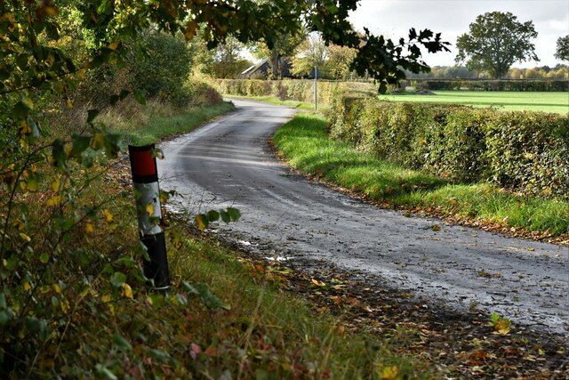
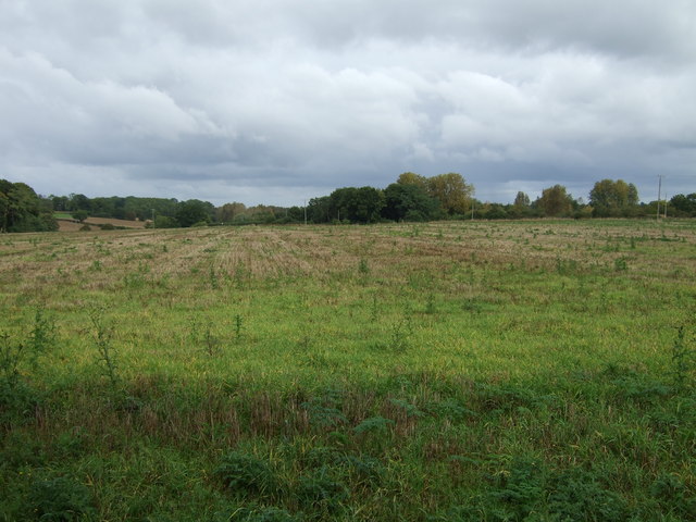
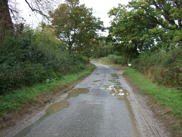
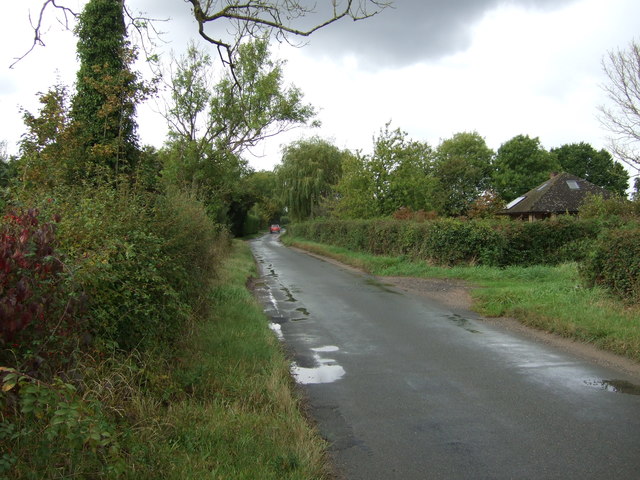
Victoria Plantation is a picturesque wood and forest located in Norfolk, England. Covering an area of approximately 500 acres, this plantation is renowned for its stunning natural beauty and diverse ecosystem. The site is named after Queen Victoria, who visited the area during her reign and was captivated by its charm.
The woodland in Victoria Plantation is predominantly composed of native tree species such as oak, beech, and ash, creating a rich and vibrant canopy. These trees provide a habitat for a wide range of wildlife, including birds, mammals, and insects. The forest floor is adorned with a carpet of lush green ferns and wildflowers, adding to the enchanting atmosphere of the plantation.
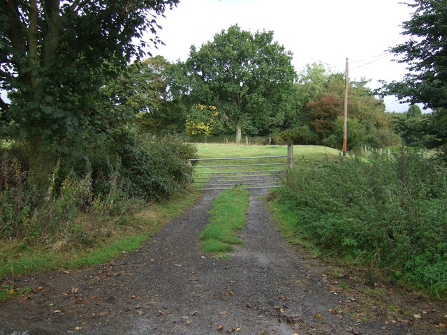
Visitors to Victoria Plantation can explore the area through a network of well-maintained walking trails, allowing them to immerse themselves in the tranquility of the woodland. The plantation also features a small lake, where visitors can enjoy peaceful picnics or observe the local birdlife.
In addition to its natural beauty, Victoria Plantation is steeped in history. It was once the site of a medieval hunting ground, and remnants of ancient hunting lodges can still be found within the woodland. These historical features add a sense of mystery and intrigue to the area, attracting history enthusiasts and nature lovers alike.
Overall, Victoria Plantation in Norfolk is a captivating destination for those seeking solace in nature. With its breathtaking scenery, diverse wildlife, and rich history, it offers a truly immersive and memorable experience for visitors of all ages.
If you have any feedback on the listing, please let us know in the comments section below.
Victoria Plantation Images
Images are sourced within 2km of 52.461264/1.388335 or Grid Reference TM3090. Thanks to Geograph Open Source API. All images are credited.


Victoria Plantation is located at Grid Ref: TM3090 (Lat: 52.461264, Lng: 1.388335)
Administrative County: Norfolk
District: South Norfolk
Police Authority: Norfolk
What 3 Words
///fruit.reliving.pumps. Near Bungay, Suffolk
Nearby Locations
Related Wikis

Sexton Wood
Sexton Wood is a 40-hectare (99-acre) biological Site of Special Scientific Interest north-west of Ditchingham in Norfolk. It is a Nature Conservation...

Earsham railway station
Earsham was a railway station in Earsham, Norfolk, England. It was located on the Waveney Valley Line which connected Beccles with the Great Eastern Main...

Earsham
Earsham is a village and civil parish in the English county of Norfolk. Earsham is located 1.7 kilometres (1.1 mi) west of its postal town of Bungay and...

Bath Hills
Bath Hills is a 12.2-hectare (30-acre) Local Nature Reserve west of Ditchingham in Norfolk. It is owned by South Norfolk District Council and managed...

Bedingham Green
Bedingham Green is a hamlet in Norfolk, England. == References ==

Bungay railway station
Bungay railway station was located on the now disused Waveney Valley Line which ran between Tivetshall and Beccles. The station was closed in 1953 and...
Denton, Norfolk
Denton is a village and civil parish in the English county of Norfolk. Denton is located 3.8 miles north-east of Harleston and 13 miles south of Norwich...
Bedingham
Bedingham is a village and civil parish in the South Norfolk district of Norfolk, England, about 11 miles (18 km) south of Norwich. According to the 2001...
Have you been to Victoria Plantation?
Leave your review of Victoria Plantation below (or comments, questions and feedback).