Hall Wood
Wood, Forest in Norfolk Broadland
England
Hall Wood

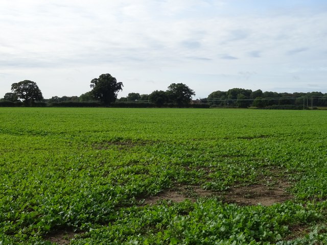
Hall Wood is a picturesque woodland located in Norfolk, England. Covering an area of approximately 150 acres, it is a popular destination for nature enthusiasts and outdoor activities. The wood is situated in the small village of Hall, just a few miles away from the bustling market town of Dereham.
Hall Wood is predominantly composed of a mix of deciduous and coniferous trees, creating a diverse and vibrant ecosystem. The wood is home to a wide variety of flora and fauna, including oak, beech, birch, and pine trees. There are also numerous wildflowers that bloom throughout the year, adding bursts of color to the landscape.
The woodland is crisscrossed by a network of well-maintained footpaths and trails, making it an ideal location for walking, hiking, and jogging. These paths wind their way through the trees, offering visitors the opportunity to immerse themselves in the tranquil surroundings. The wood is also home to several species of birds, making it a haven for birdwatchers.
In addition to its natural beauty, Hall Wood also has historical significance. It is believed to have been part of the ancient woodland that covered much of Norfolk centuries ago. The wood has retained its charm and untouched atmosphere, providing a glimpse into the region's rich history.
Overall, Hall Wood is a hidden gem in Norfolk, offering visitors a chance to escape the hustle and bustle of everyday life and reconnect with nature.
If you have any feedback on the listing, please let us know in the comments section below.
Hall Wood Images
Images are sourced within 2km of 52.679565/1.4008701 or Grid Reference TG2914. Thanks to Geograph Open Source API. All images are credited.


Hall Wood is located at Grid Ref: TG2914 (Lat: 52.679565, Lng: 1.4008701)
Administrative County: Norfolk
District: Broadland
Police Authority: Norfolk
What 3 Words
///haystack.barks.dent. Near Rackheath, Norfolk
Related Wikis
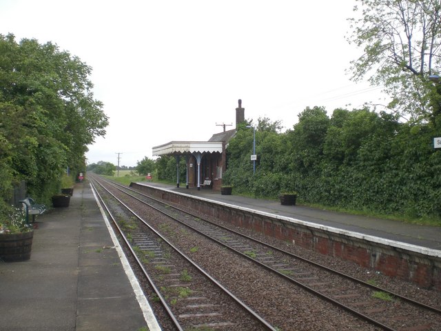
Salhouse railway station
Salhouse railway station is on the Bittern Line in Norfolk, England, serving the village of Salhouse. It is the next station along the line from Norwich...

Milestones Hospital
Milestones Hospital [ˈmaɪlstəʊnz ˈhɒspɪtl] is a 10-bed mental hospital for women at Catfield, Norfolk. Milestones is owned by the Atarrah Project Ltd....
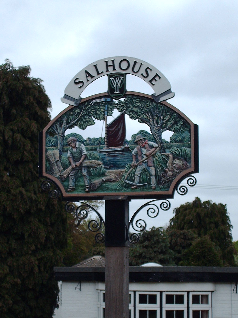
Salhouse
Salhouse is a village and civil parish in the Broads in the English county of Norfolk. It lies south of the River Bure and Salhouse Broad, about 10 kilometres...
Rackheath Eco-town
The Rackheath Eco-town is a proposal for just over 5,000 houses to be built in the Rackheath area, in Norfolk, within a mile of The Broads National Park...
Nearby Amenities
Located within 500m of 52.679565,1.4008701Have you been to Hall Wood?
Leave your review of Hall Wood below (or comments, questions and feedback).